Hiking
Routes
Very low slope <5% %
Low slope <7% %
Moderate slope <10% %
Steep slope <15% %
Very steep slope >15% %
Description
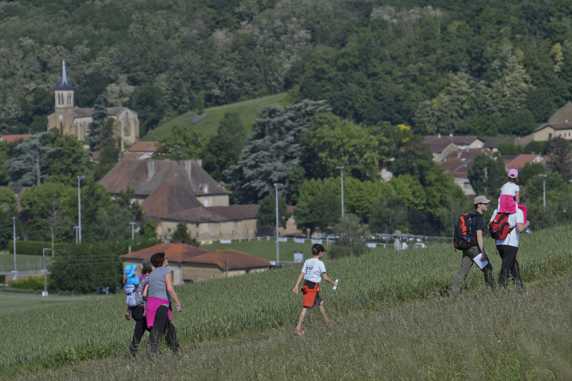
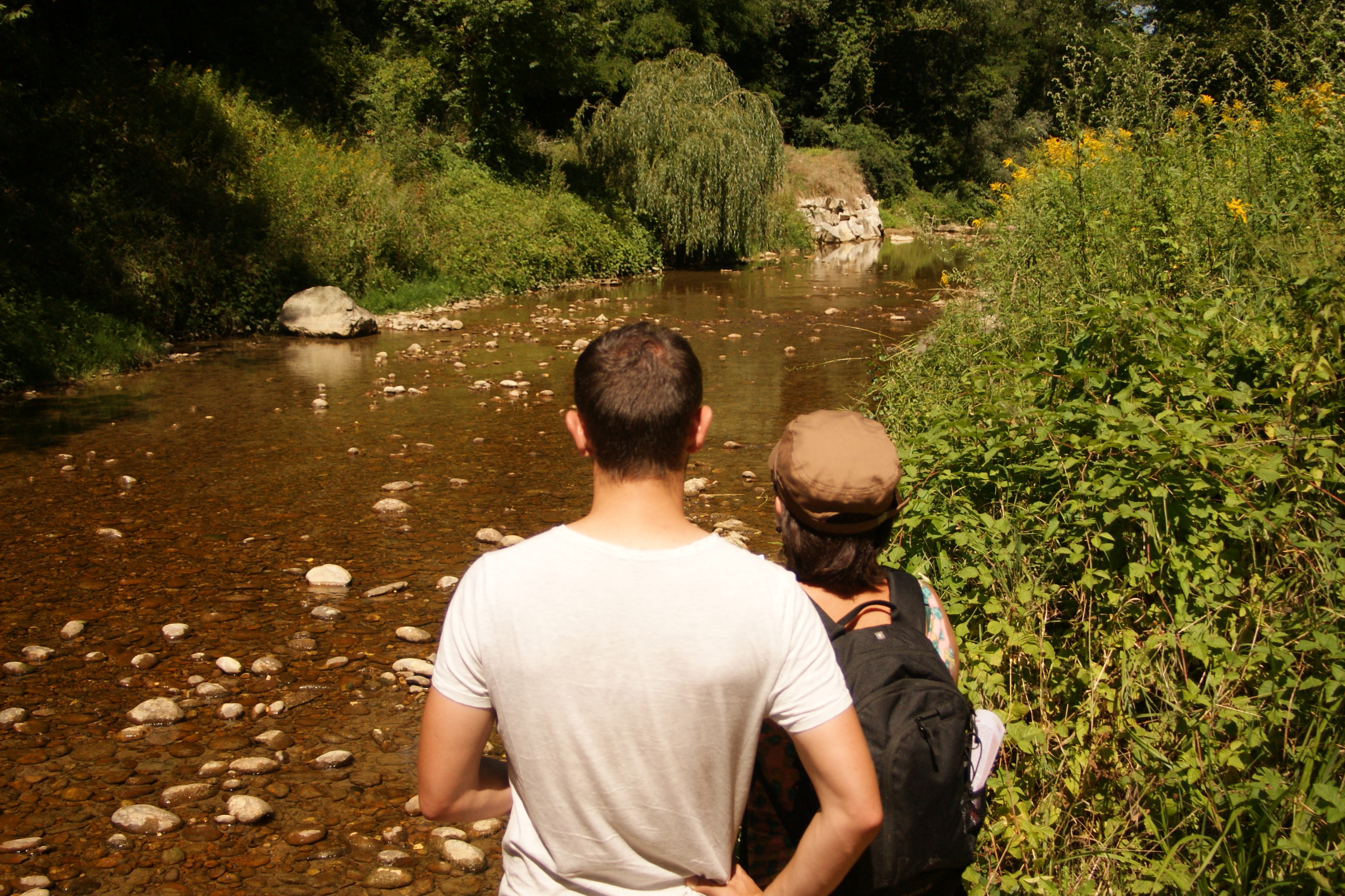
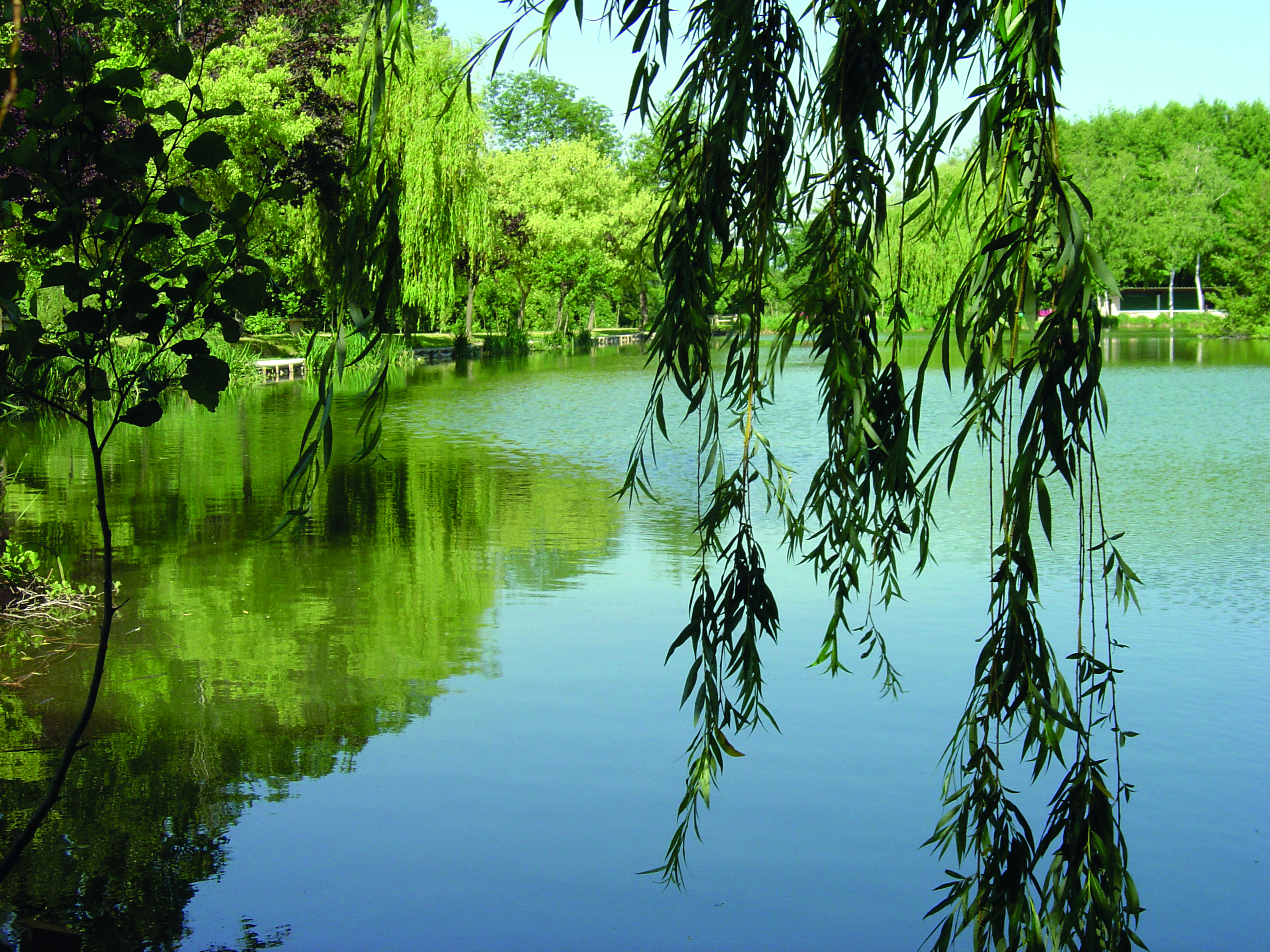
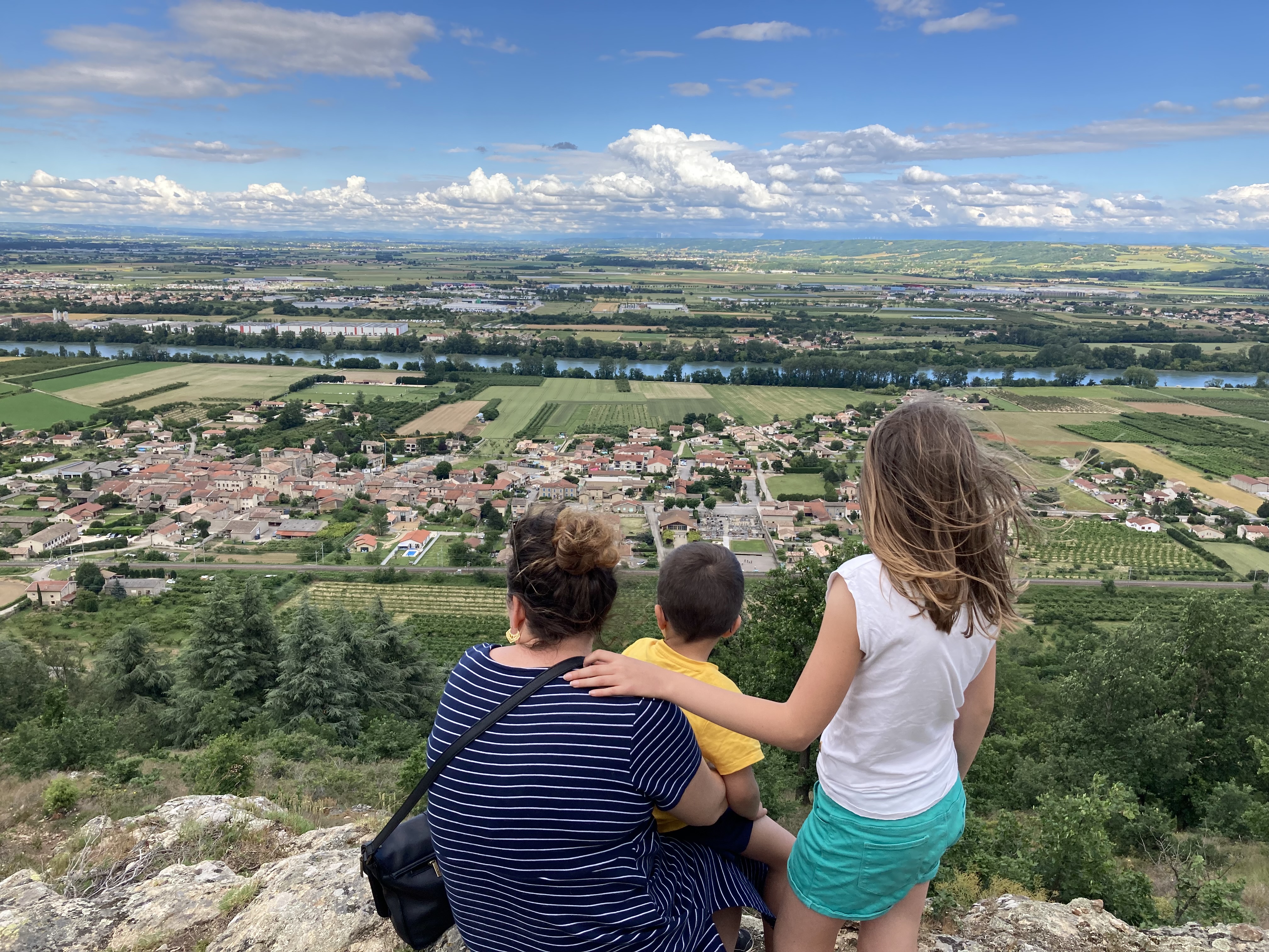
Between the Rhone plain and the plateau of orchards overlooking the Rhone, this walk from hamlet to hamlet combines beautiful stonework and pleasant viewpoints. To be discovered in the guidebook on sale at the tourist office and the "MHIKES" application.
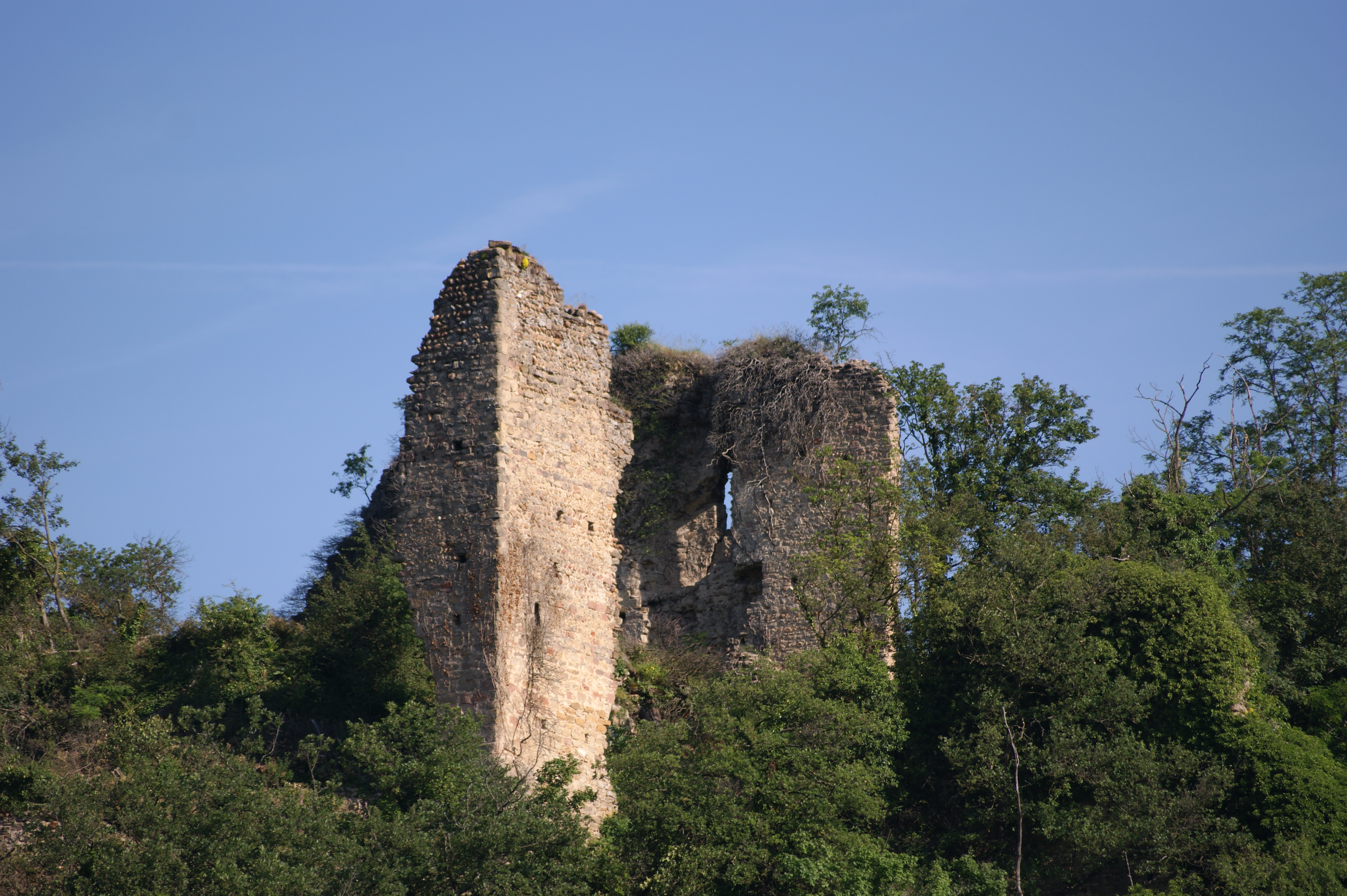
What to see: Church of Saint Pierre de Champagne;
Find this route on our application "MHIKES"
This is a free application that turns your mobile phone into a hiking GPS. Once the route has been loaded online, you no longer need to be connected and there is no risk of getting lost.
The walker is guided by the voice instructions of his device, which indicates changes of direction, natural or historical points of interest, possible areas of caution, etc.
Photos, audio content and short quizzes are also provided to enhance the walk and help you find your way around.
Photos

Shops, Services and Heritage Sites


You will also like