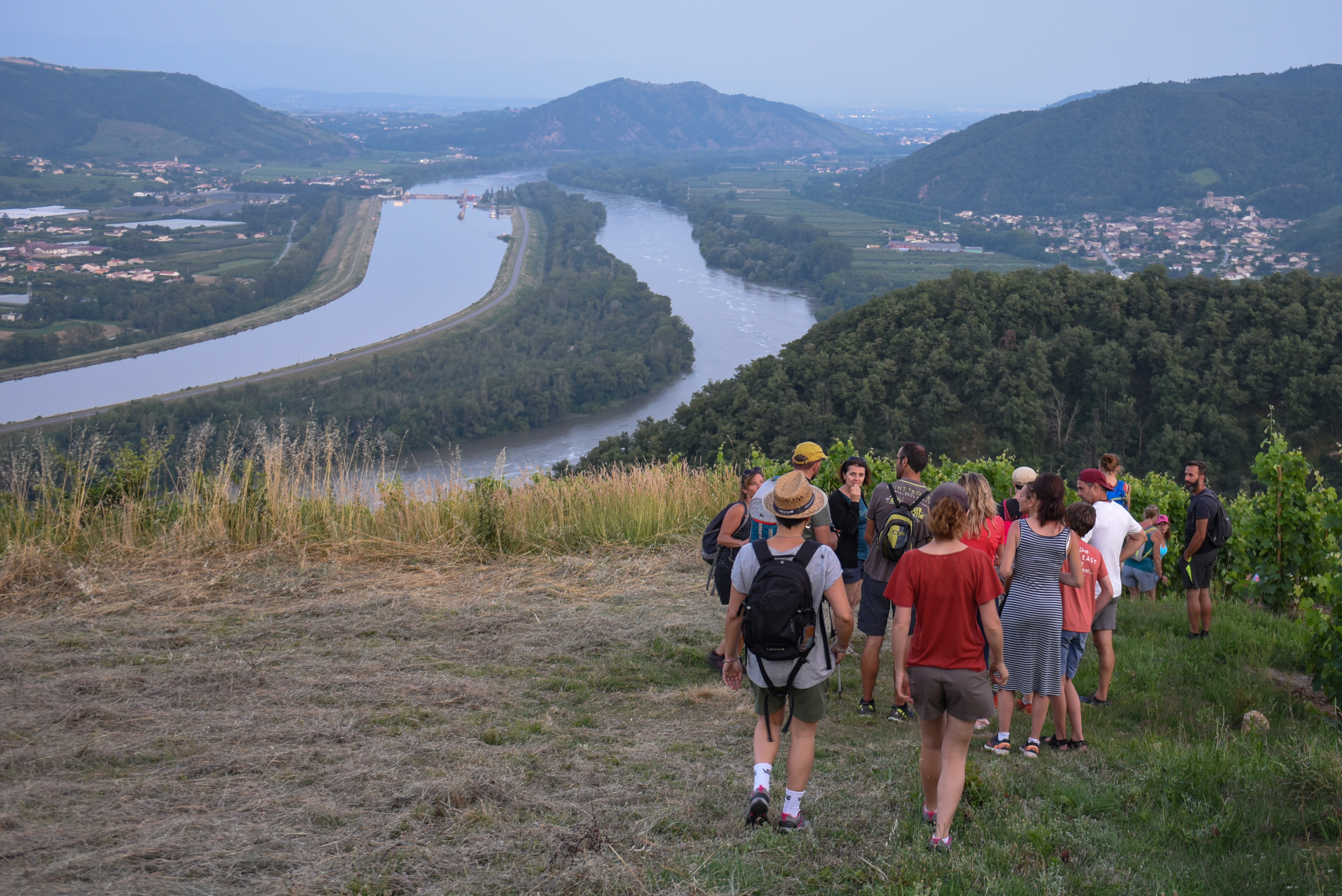
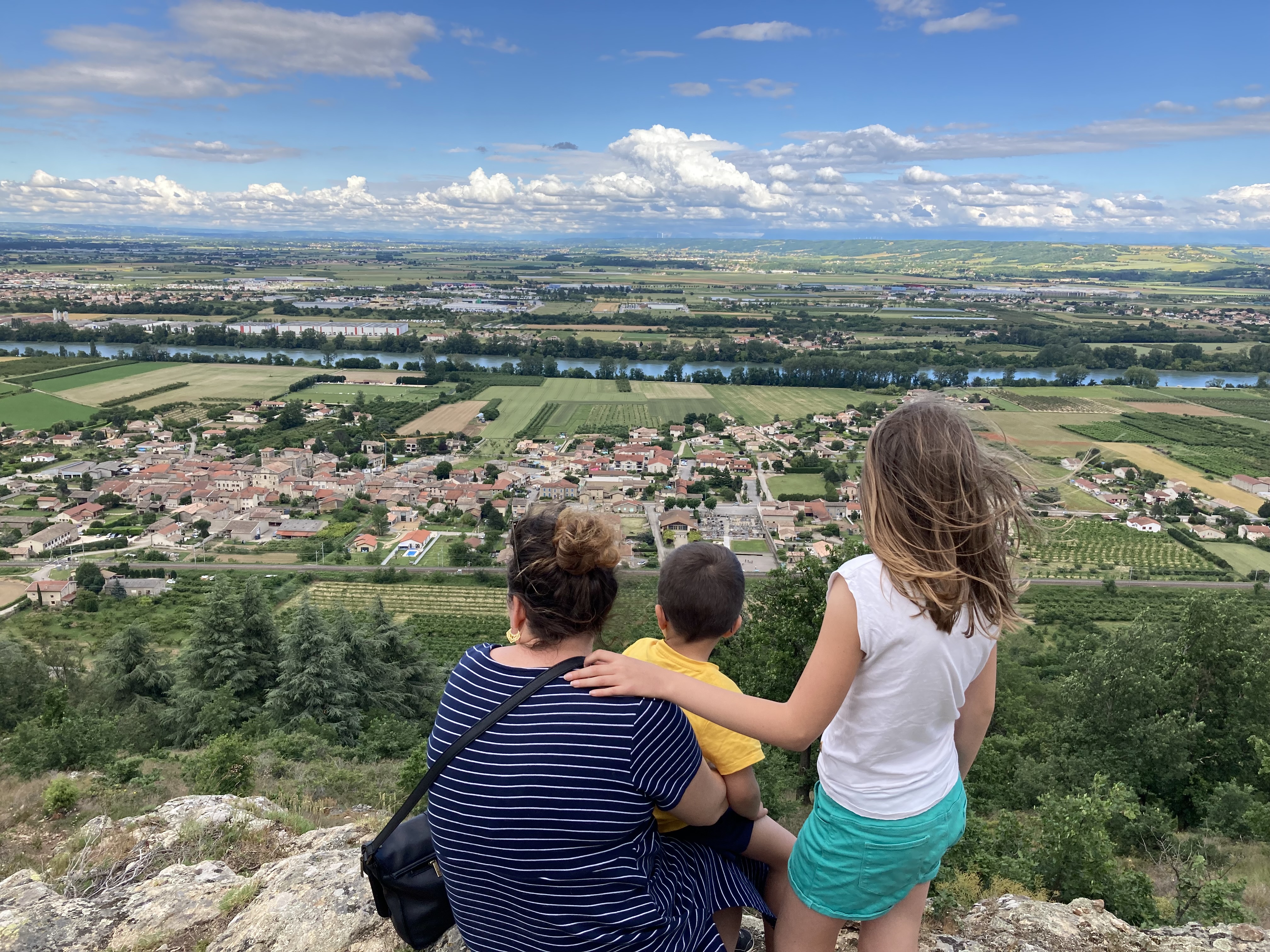
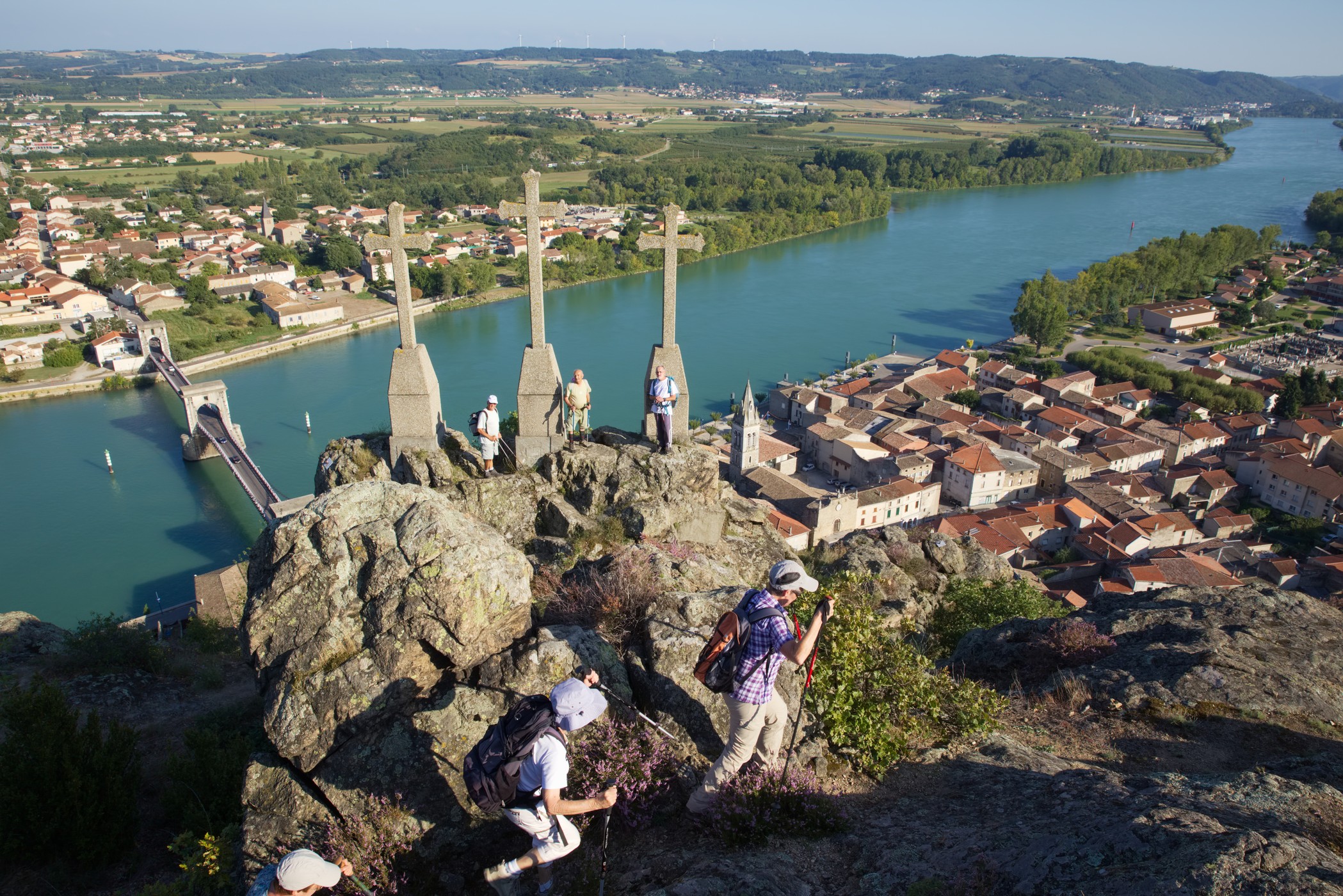
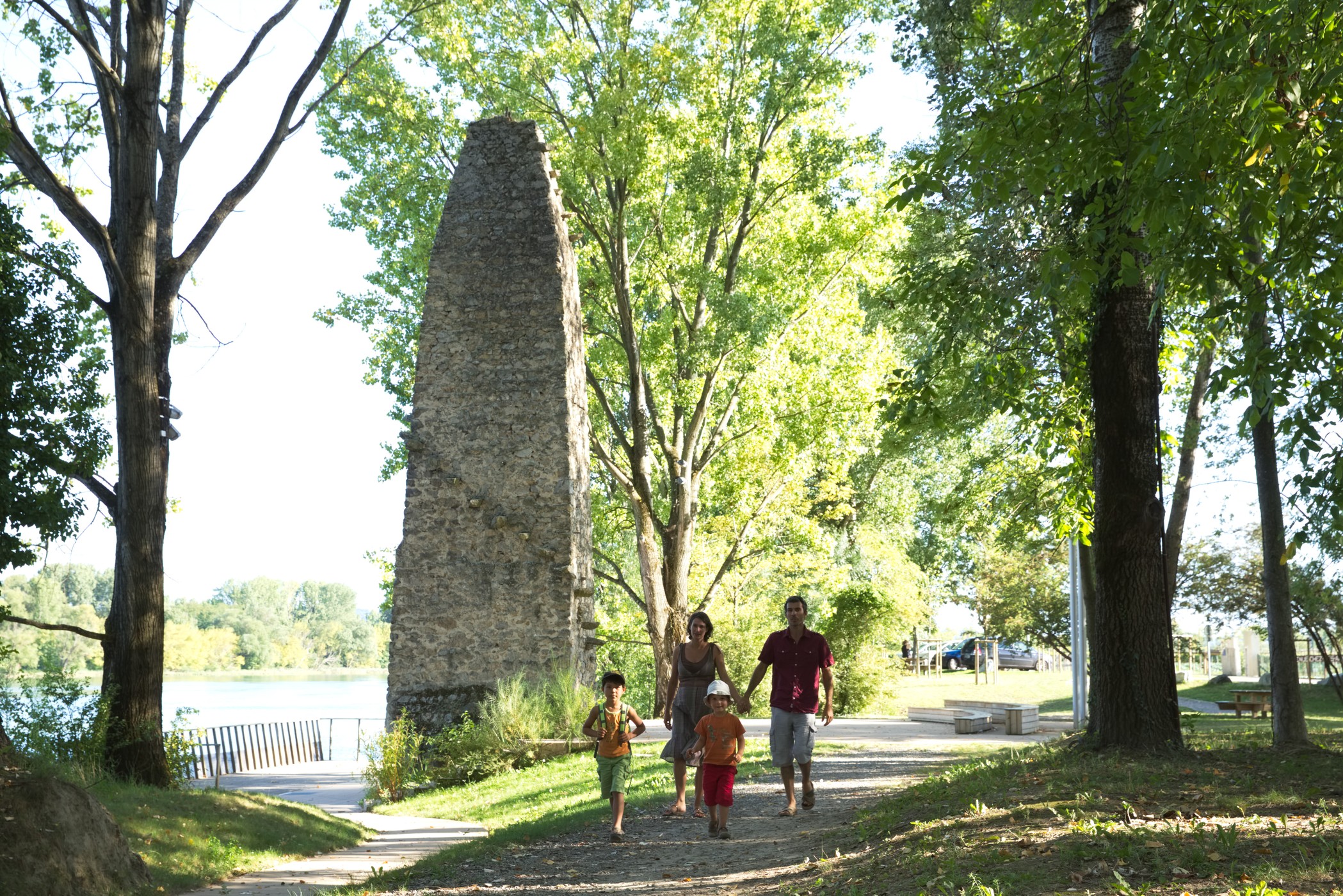
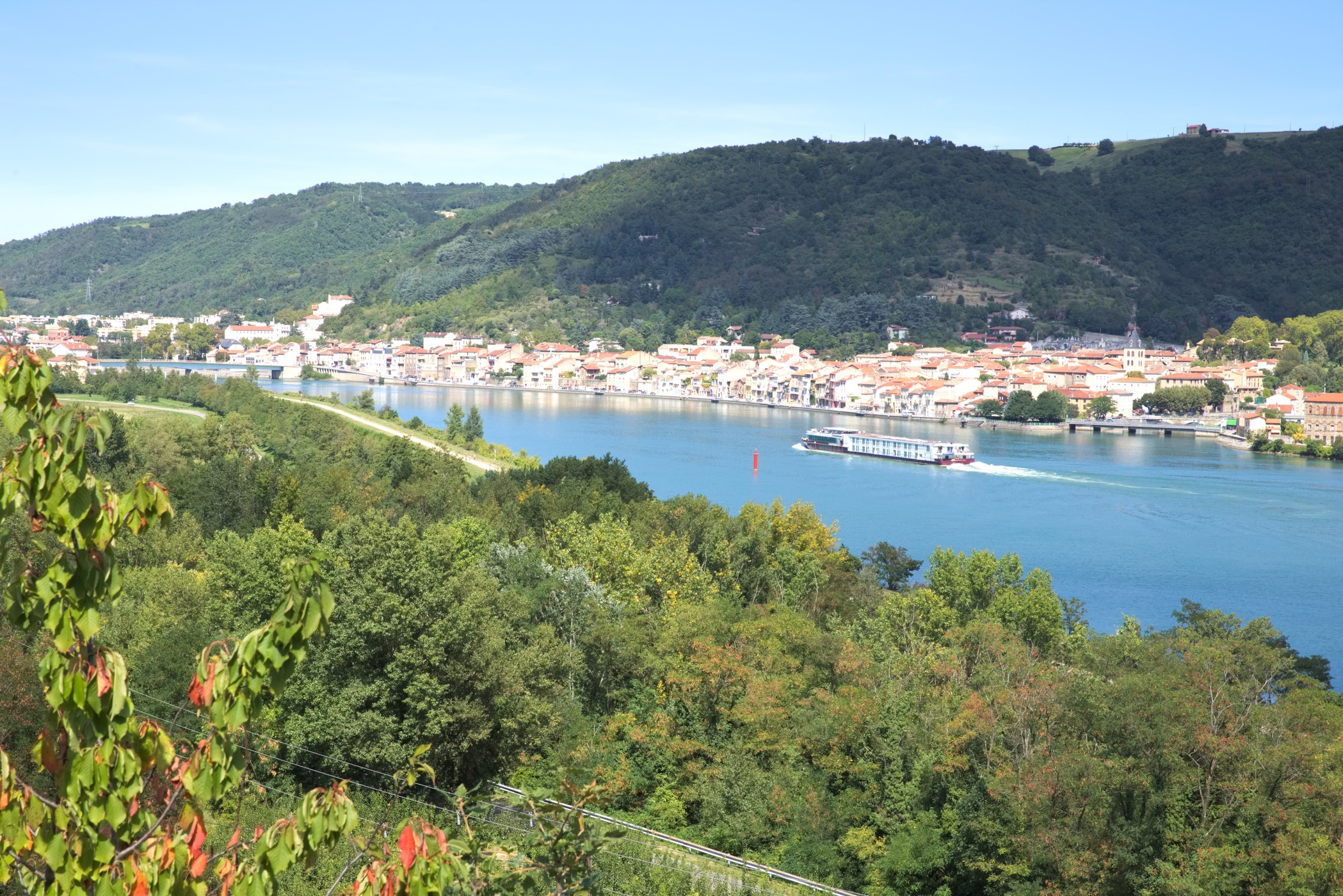
Porte de DrômArdèche
Log in
Create an account
routes & spots
events
providers
Difficulty
Not secured
Easy
Medium
Hard
Very hard
Positive elevation
0 m
5000 m
Distance
0 km
150 km
It is not possible to select the difficulty at the same time as distance and elevation
Departure town
Albon
Andance
Anneyron
Arras-sur-Rhône
Champagne
Claveyson
Hauterives
Manthes
Moras-en-Valloire
Ozon
Peyraud
Ponsas
Saint-Avit
Saint-Jean-de-Galaure
Saint-Rambert-d'Albon
Saint-Uze
Saint-Vallier
Saint-Étienne-de-Valoux
Sarras
Tain-l'Hermitage
Éclassan
More filters
See only open routes
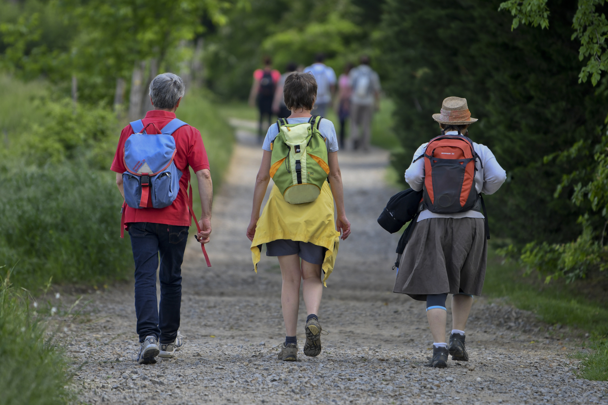
Hiking
Sarras
Distance
10.67 km
Positive elevation
559 m
Negative elevation
556 m
Max. altitude
410 m
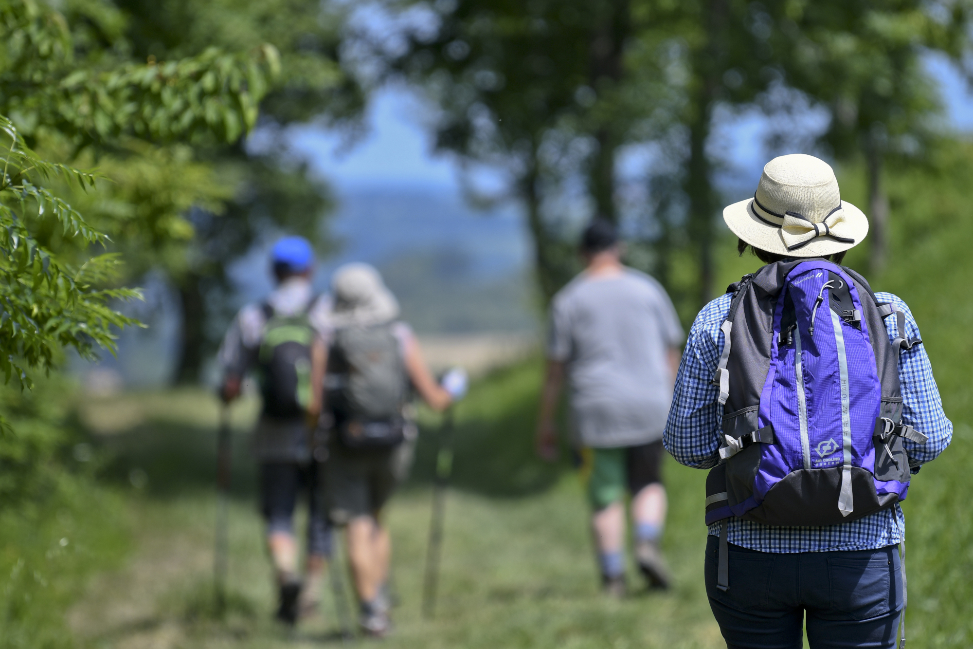
Hiking
Manthes
Distance
7.91 km
Positive elevation
197 m
Negative elevation
197 m
Max. altitude
335 m
Hiking
Champagne
Distance
12.53 km
Positive elevation
515 m
Negative elevation
515 m
Max. altitude
376 m
Hiking
Andance
Distance
5.97 km
Positive elevation
490 m
Negative elevation
495 m
Max. altitude
334 m
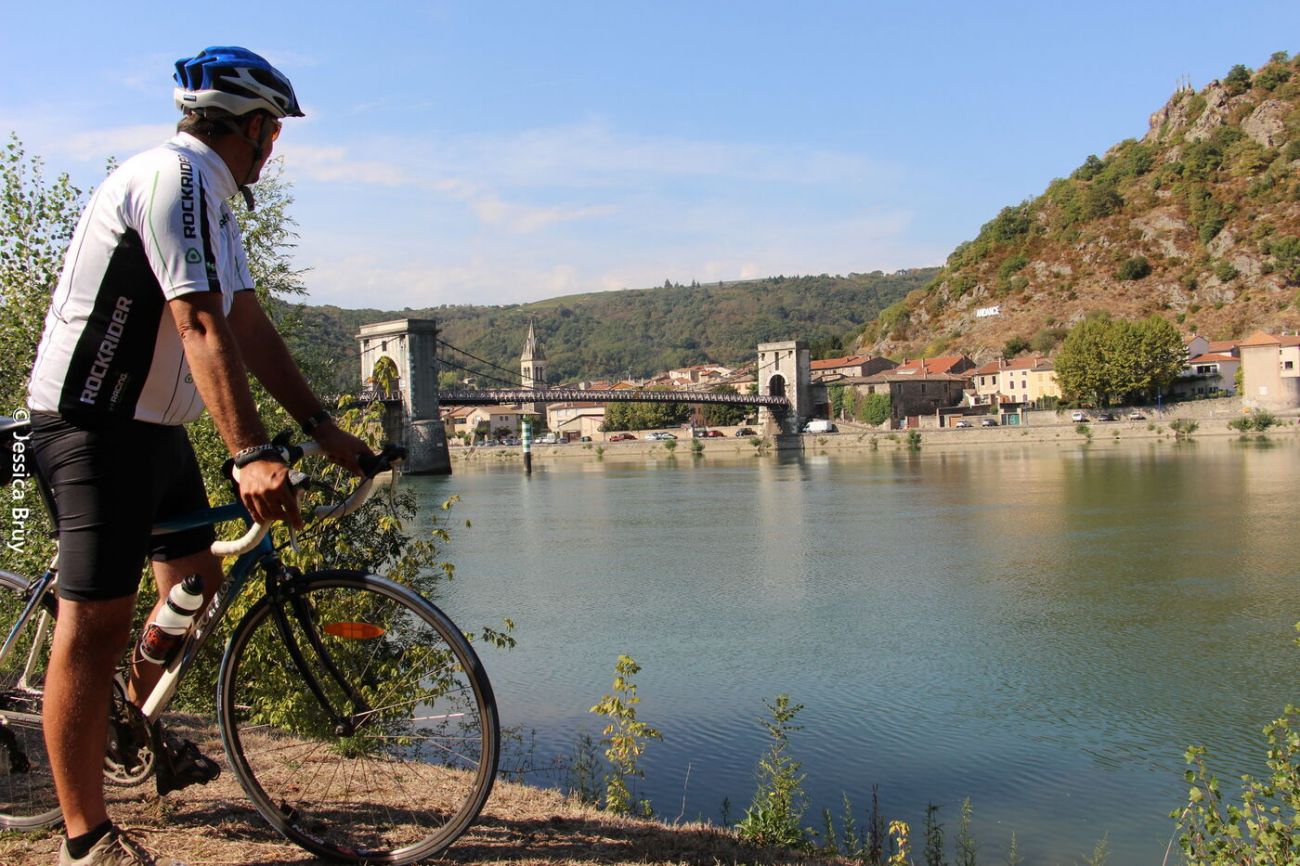
Road bike
Cycling circuit N° 6 "Tour of the Golden Valley"
Saint-Rambert-d'Albon
Distance
55.19 km
Positive elevation
431 m
Negative elevation
429 m
Max. altitude
331 m
Hiking
Distance
16.85 km
Positive elevation
289 m
Negative elevation
285 m
Max. altitude
458 m
Hiking
Distance
19.42 km
Positive elevation
292 m
Negative elevation
287 m
Max. altitude
404 m
Hiking
Rambling circuit "En passant par Champagne"
Champagne
Distance
8.69 km
Positive elevation
140 m
Negative elevation
140 m
Max. altitude
222 m
Hiking
Saint-Vallier
Distance
20.09 km
Positive elevation
877 m
Negative elevation
873 m
Max. altitude
360 m
Road bike
Cycling trail N° 7
Saint-Vallier
Distance
39.98 km
Positive elevation
455 m
Negative elevation
458 m
Max. altitude
360 m
Hiking
Distance
12.09 km
Positive elevation
262 m
Negative elevation
256 m
Max. altitude
360 m
Hiking
Distance
12.42 km
Positive elevation
319 m
Negative elevation
319 m
Max. altitude
361 m