
 Hiking
11.66 km
Distance
266 m
Positive elevation
267 m
Negative elevation
444 m
Max. altitude
Medium
Difficulty
Opened
Routes
Very low slope <5% %
Low slope <7% %
Moderate slope <10% %
Steep slope <15% %
Very steep slope >15% %
Description
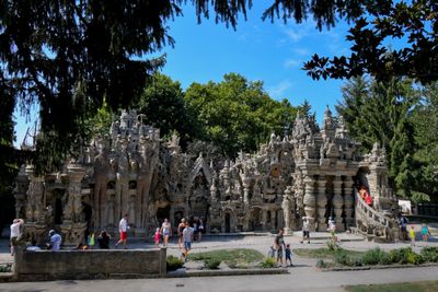
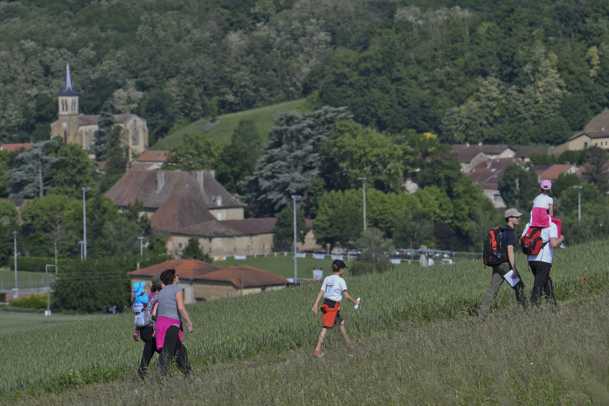
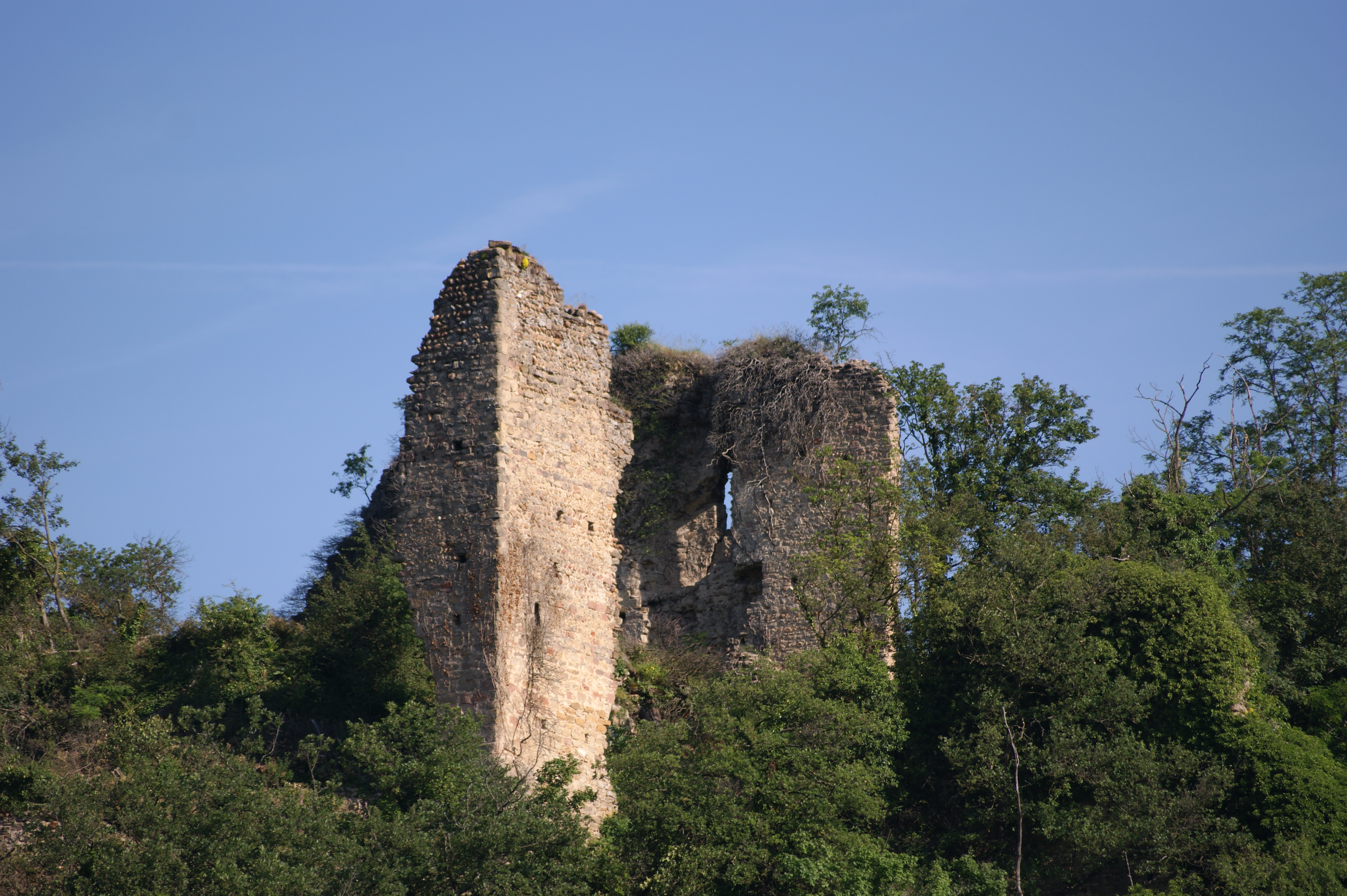
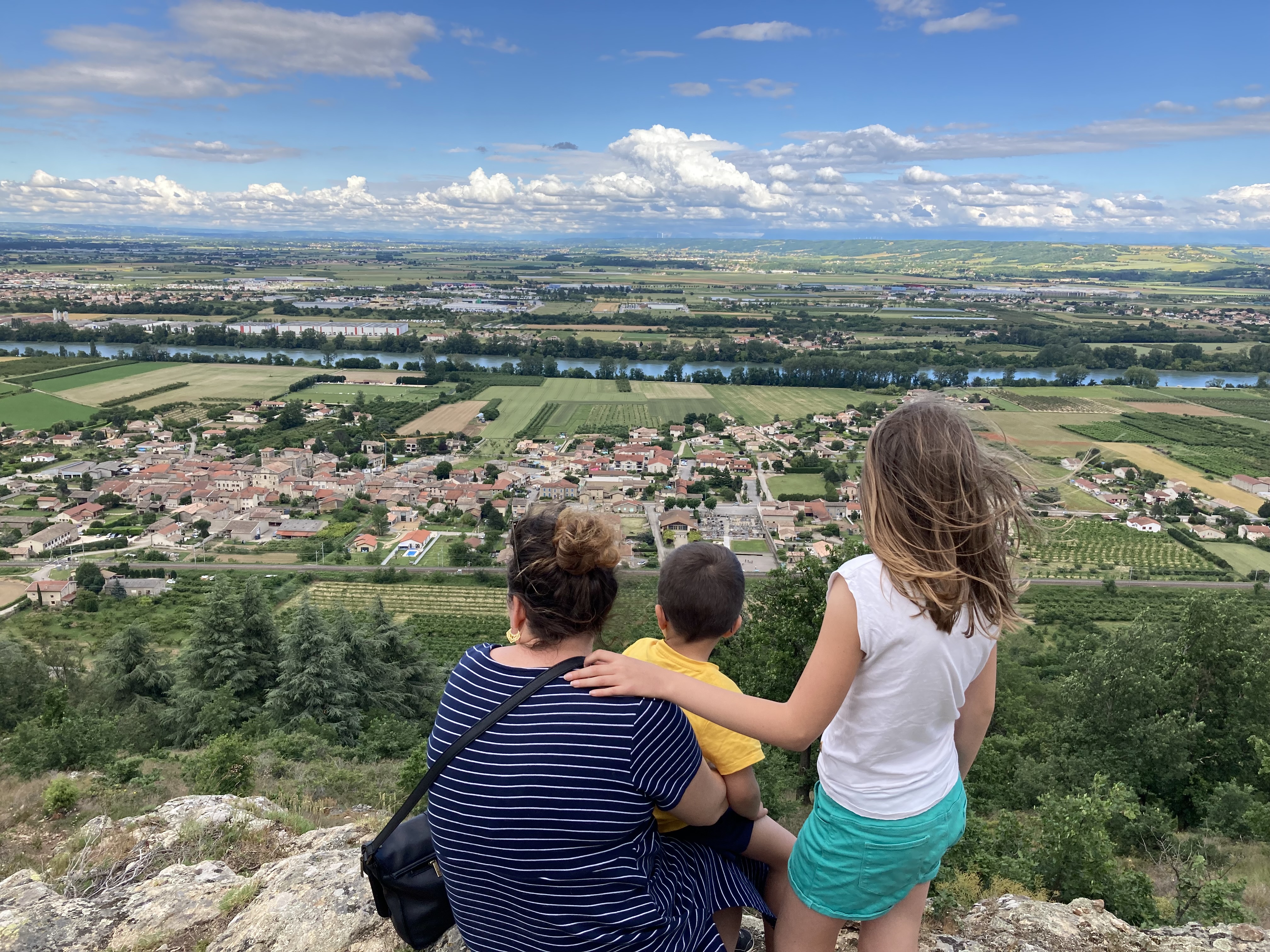
This long loop could be the postman's tour where he found inspiration during his wanderings in the countryside around Hauterives, with a panoramic view of the Galaure valley and the Vercors.
Discover the "MHIKES" application.
Source APIDAE
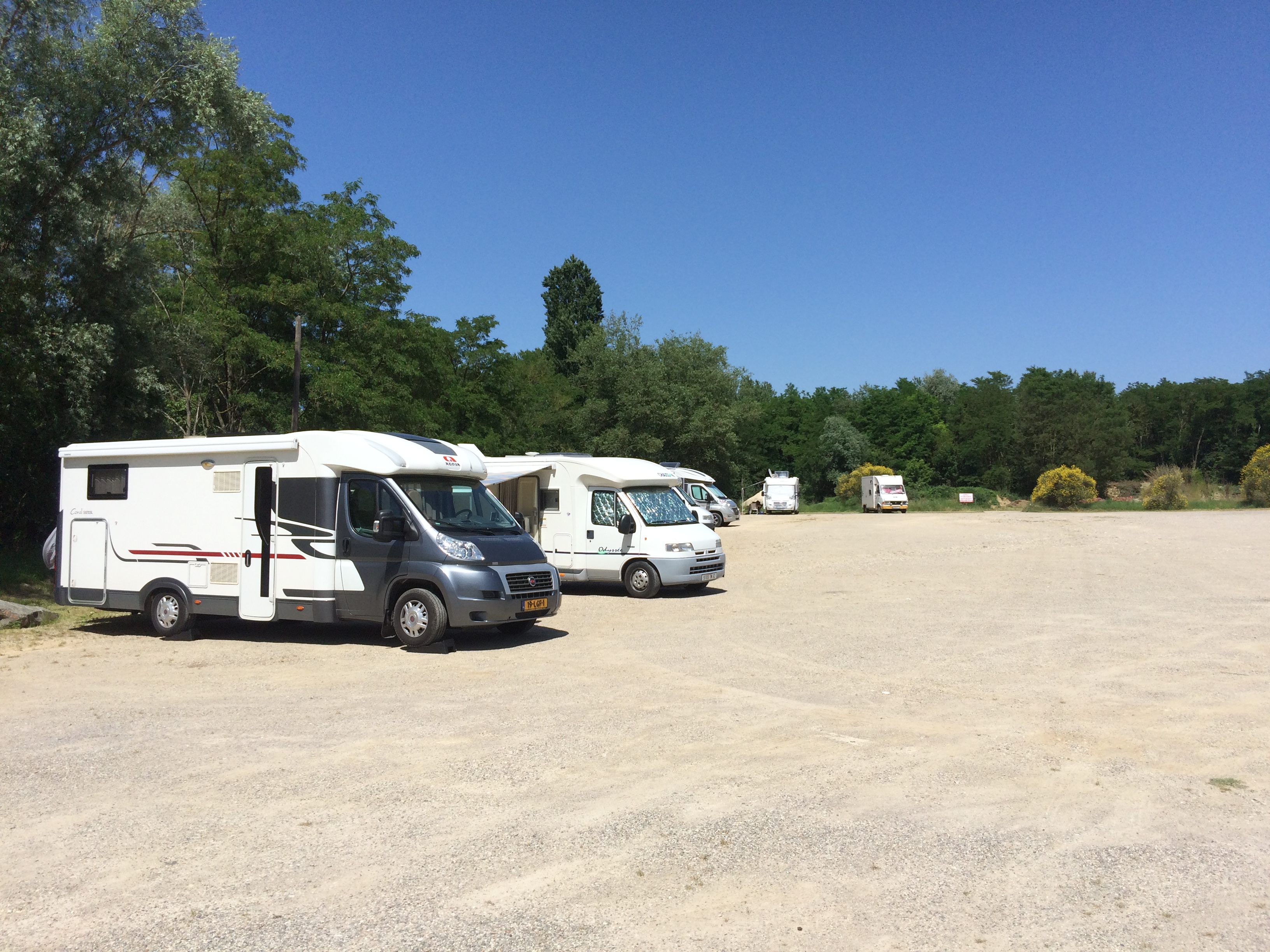
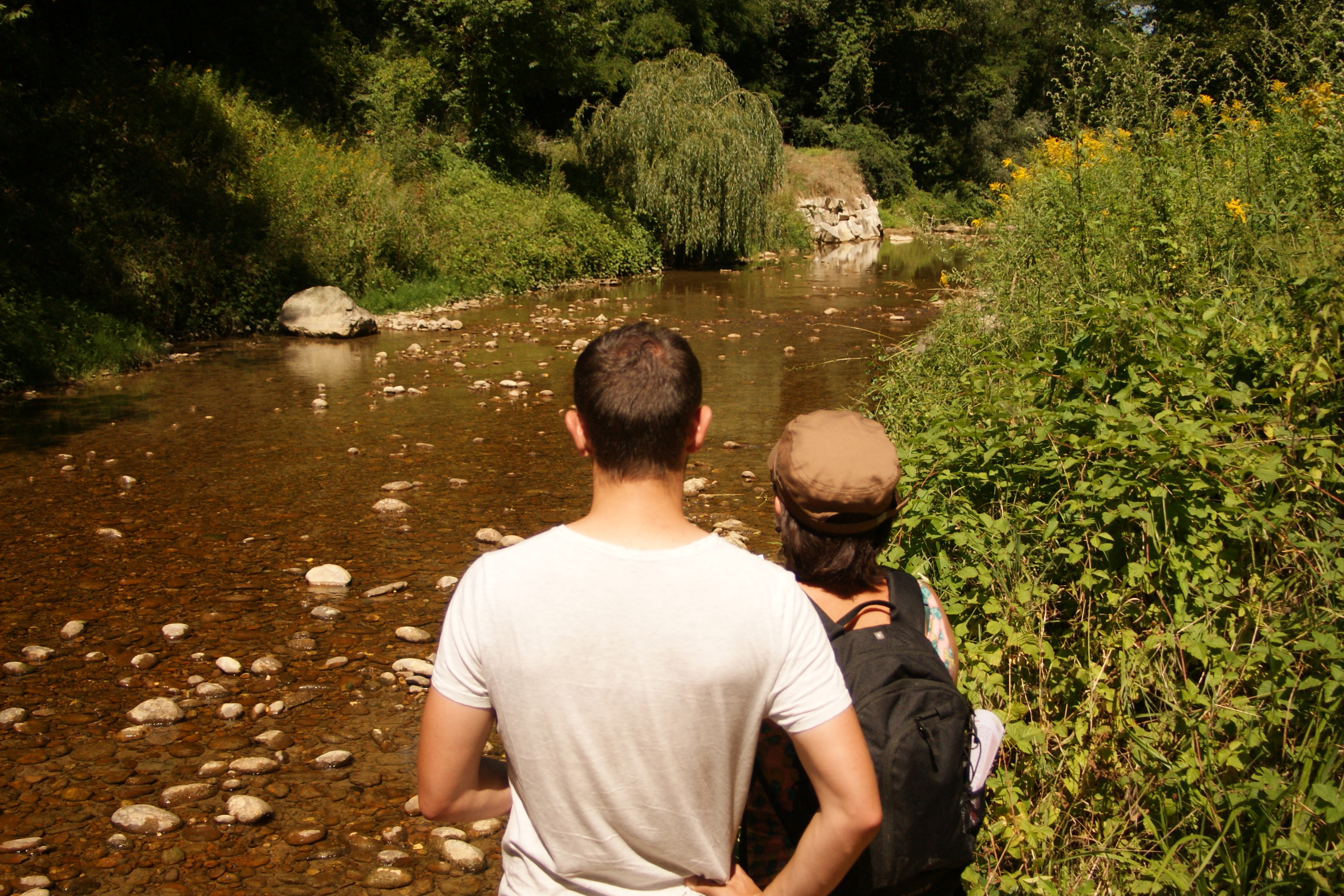
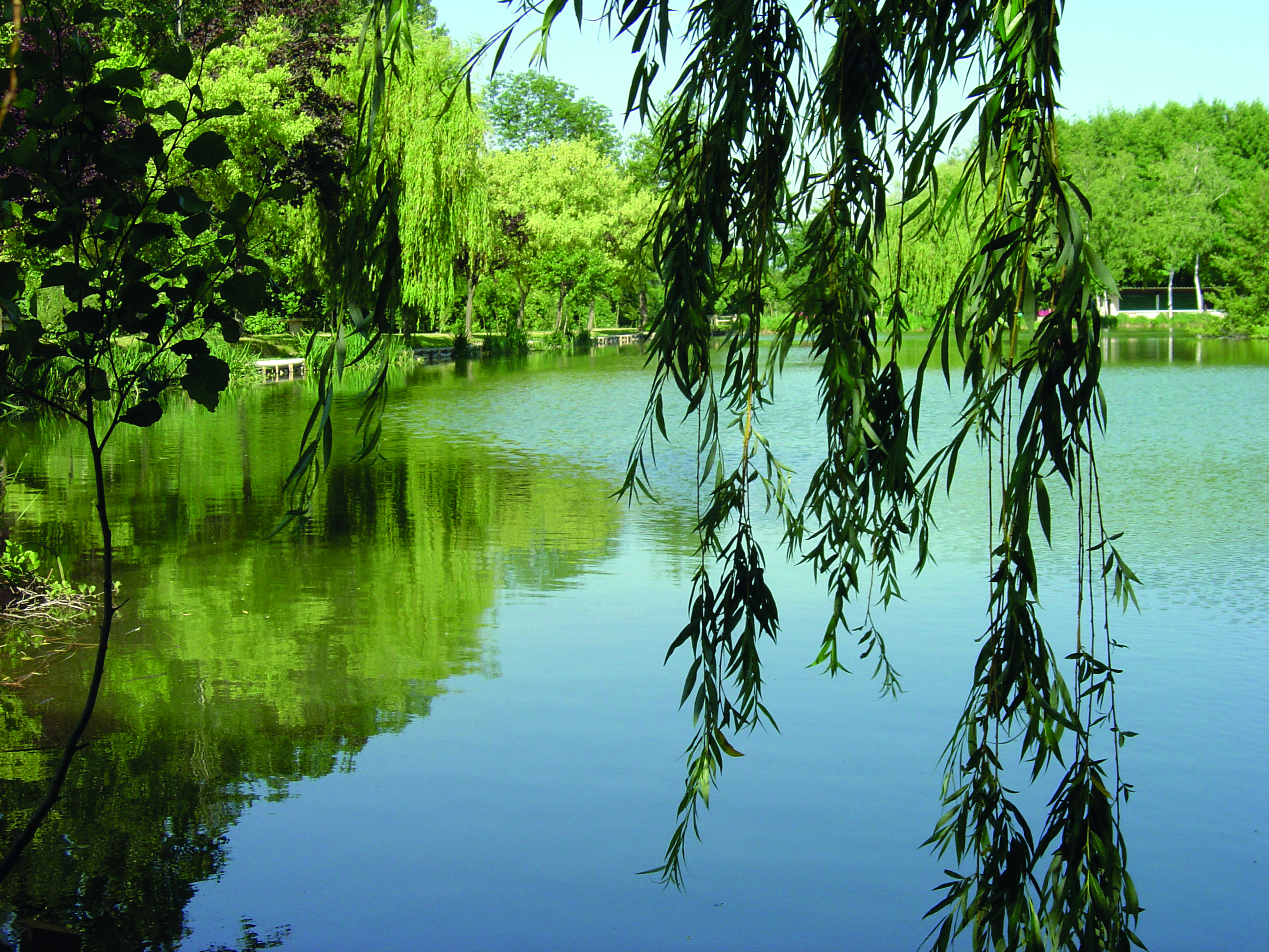
Photos

Shops, Services and Heritage Sites


You will also like
Explore the best spots!
We have picked out for you the best destinations and routes, marked out by local experts and respectful of the environments in which they take place. Routes, accommodation, courses, races, equipment, find all the good addresses and recommendations of the On Piste team to organise your next walking, cycling or skiing session. Let us guide you and don't miss any point of interest.
© 2022 On Piste
v. 1.45.0
English
Français
Spanish
Italian
Catalan