13
Trail Running Trail Running
Parcours balisé ✅
Guidage vocal 🔊
Infos touristiques 📍

Bagnoles en douceur

Office de Tourisme Bagnoles-de-l'Orne, Bagnoles-de-l'Orne-Normandie
4.49 km Distance
97 m Positive elevation
86 m Negative elevation
227 m Max. altitude
Easy Difficulty
Opened

Routes

Very low slope <5% %

Low slope <7% %

Moderate slope <10% %

Steep slope <15% %

Very steep slope >15% %

Description

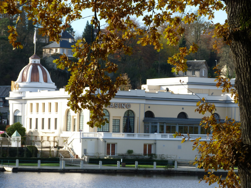
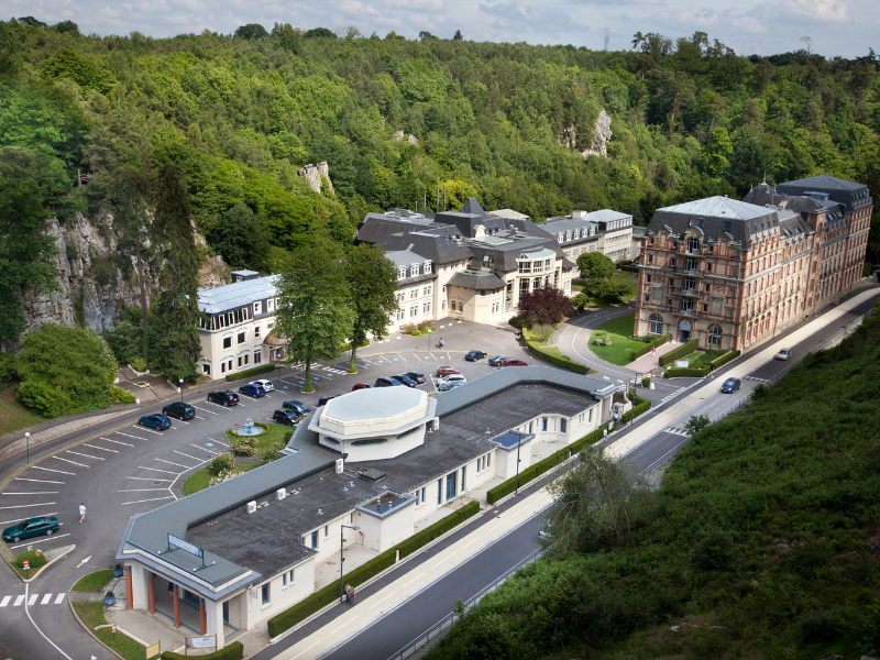
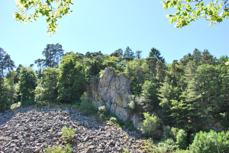
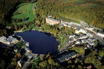
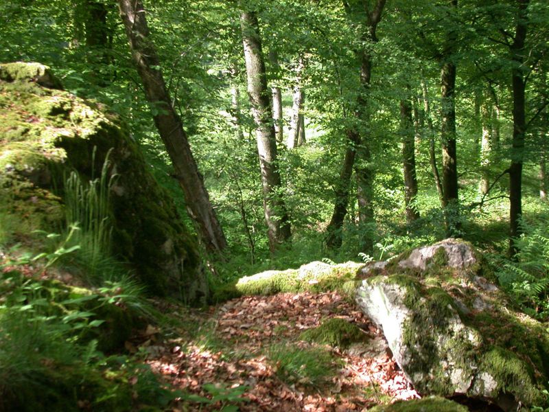
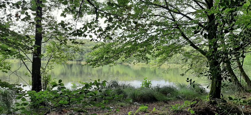
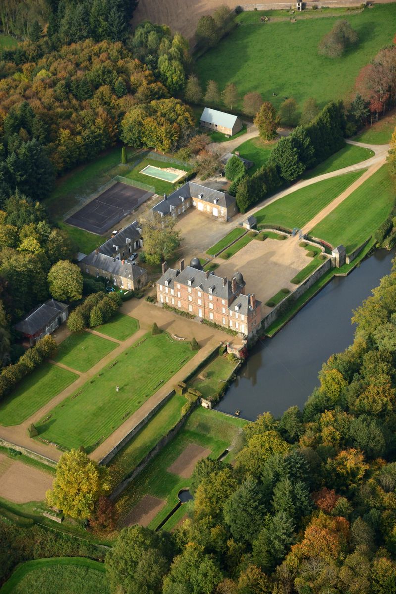
Ce circuit est idéal pour découvrir le trail et la ville de Bagnoles de l’Orne. Entre Trail Nature et Trail Urbain vous commencerez par découvrir le patrimoine de la commune puis vous partirez découvrir le Roc au chien, point culminant de la ville, n’hésitez pas à aller au bout du piton rocheux pour voir le magnifique point de vue. Vous terminerez ce parcours découverte par un petit bout de forêt pour de nouvelles sensations.


Discover the Destination

See more Destinations

Trail Running Trail Running

Share

Photos

photosFeed-https://www.onpiste.com/media/uploads/destinations/169/cd08f931fef7f6839aedcc5214259446139d9719.png
photosFeed-https://www.onpiste.com/media/uploads/destinations/169/10f905e9e82f0a3e7773f26f99214d78fe8a3266.png
photosFeed-https://www.onpiste.com/media/uploads/destinations/169/fd49d6cecd5bbea08dce184a6b89e31e19186ff2.png
photosFeed-https://www.onpiste.com/media/uploads/destinations/169/e305fb3f7a9239b77422ba2182ab9a77aec03232.jpg

Shops, Services and Heritage Sites

You will also like

On Piste logo
Download from Apple Store Download from Google Store

Explore the best spots!

We have picked out for you the best destinations and routes, marked out by local experts and respectful of the environments in which they take place. Routes, accommodation, courses, races, equipment, find all the good addresses and recommendations of the On Piste team to organise your next walking, cycling or skiing session. Let us guide you and don't miss any point of interest.
© 2022 On Piste
v. 1.20.1