Hiking
Routes
Very low slope <5% %
Low slope <7% %
Moderate slope <10% %
Steep slope <15% %
Very steep slope >15% %
Description
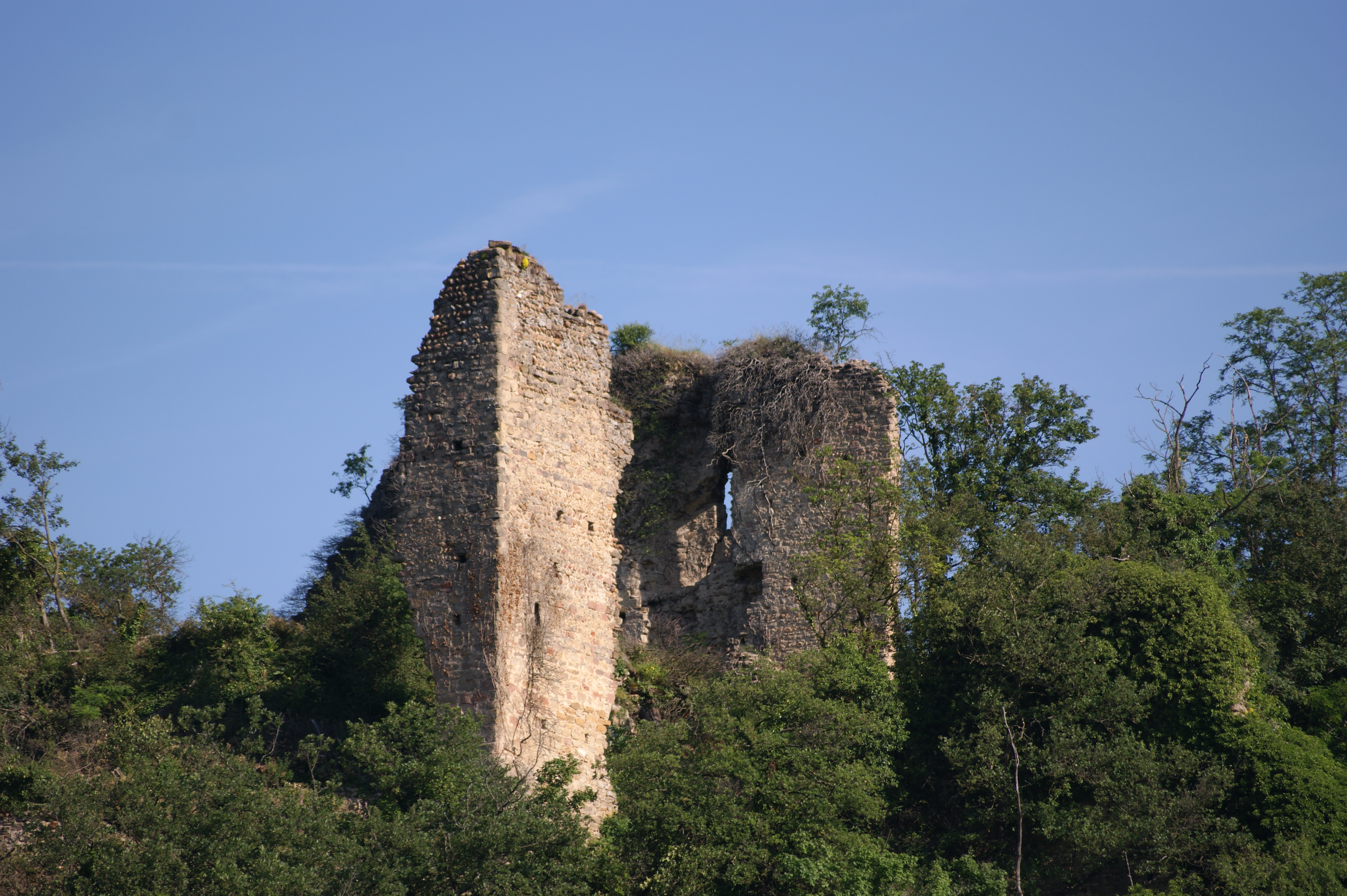
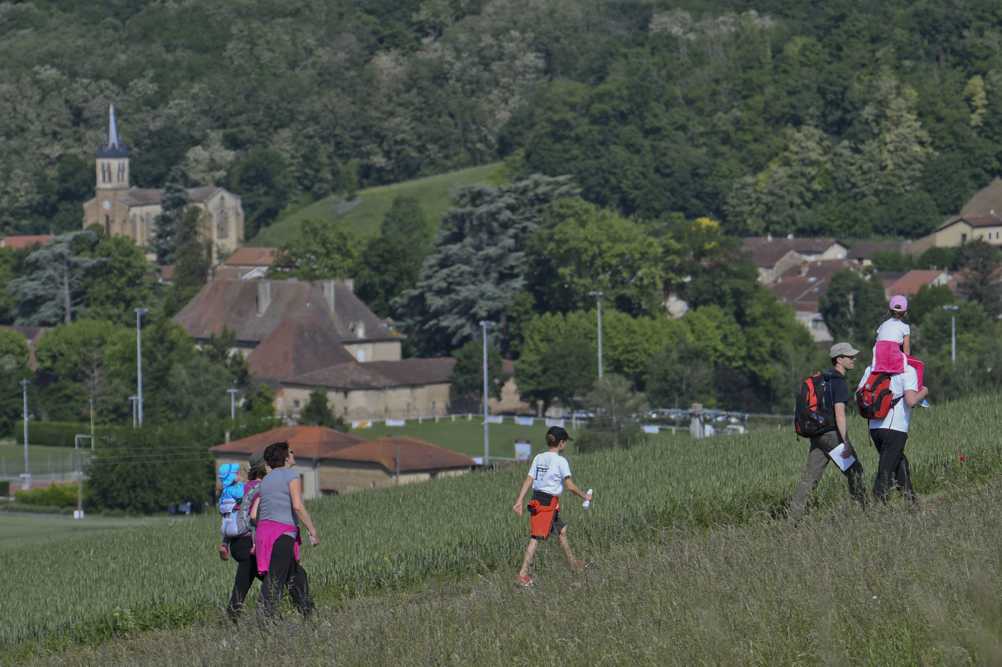
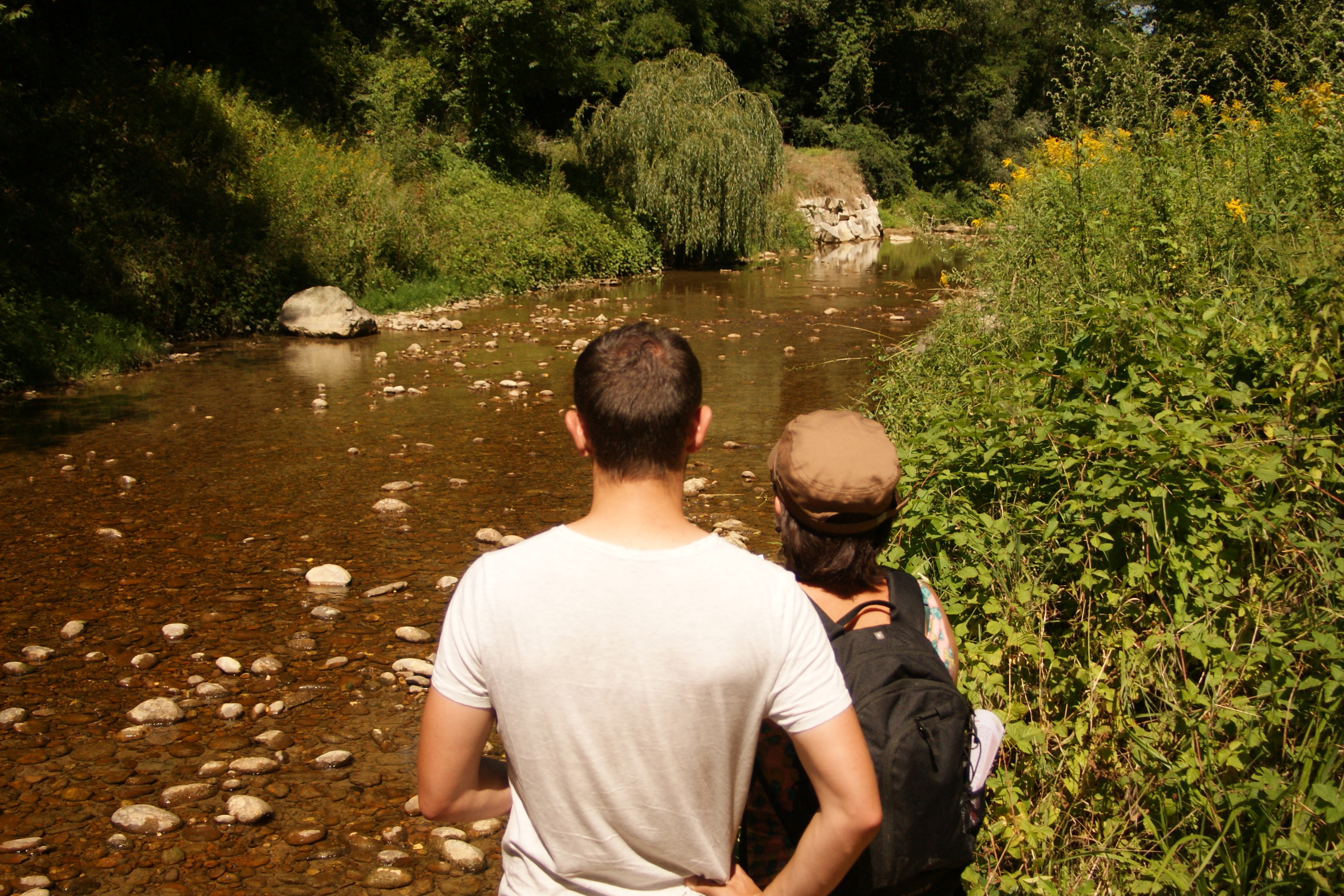
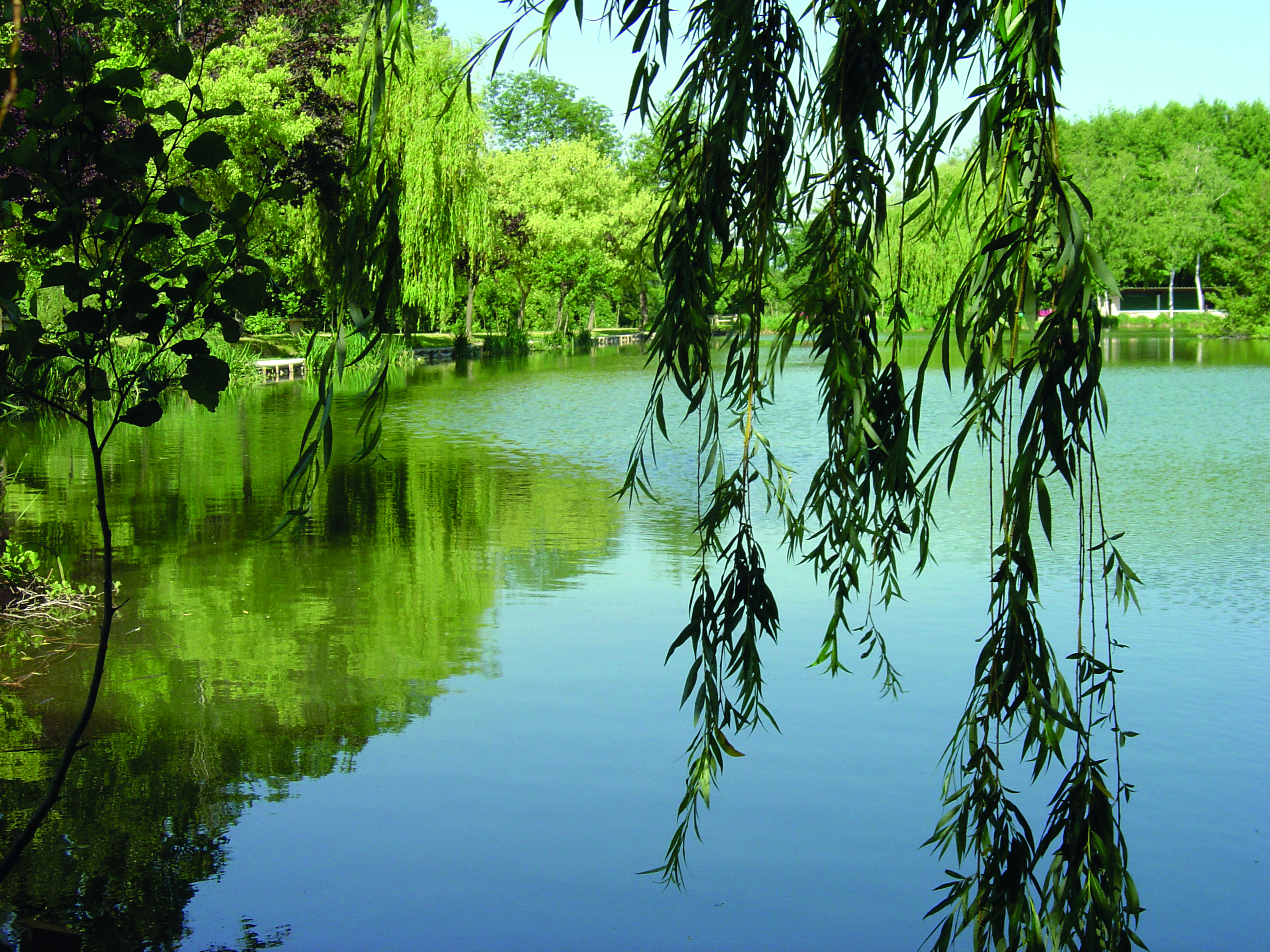
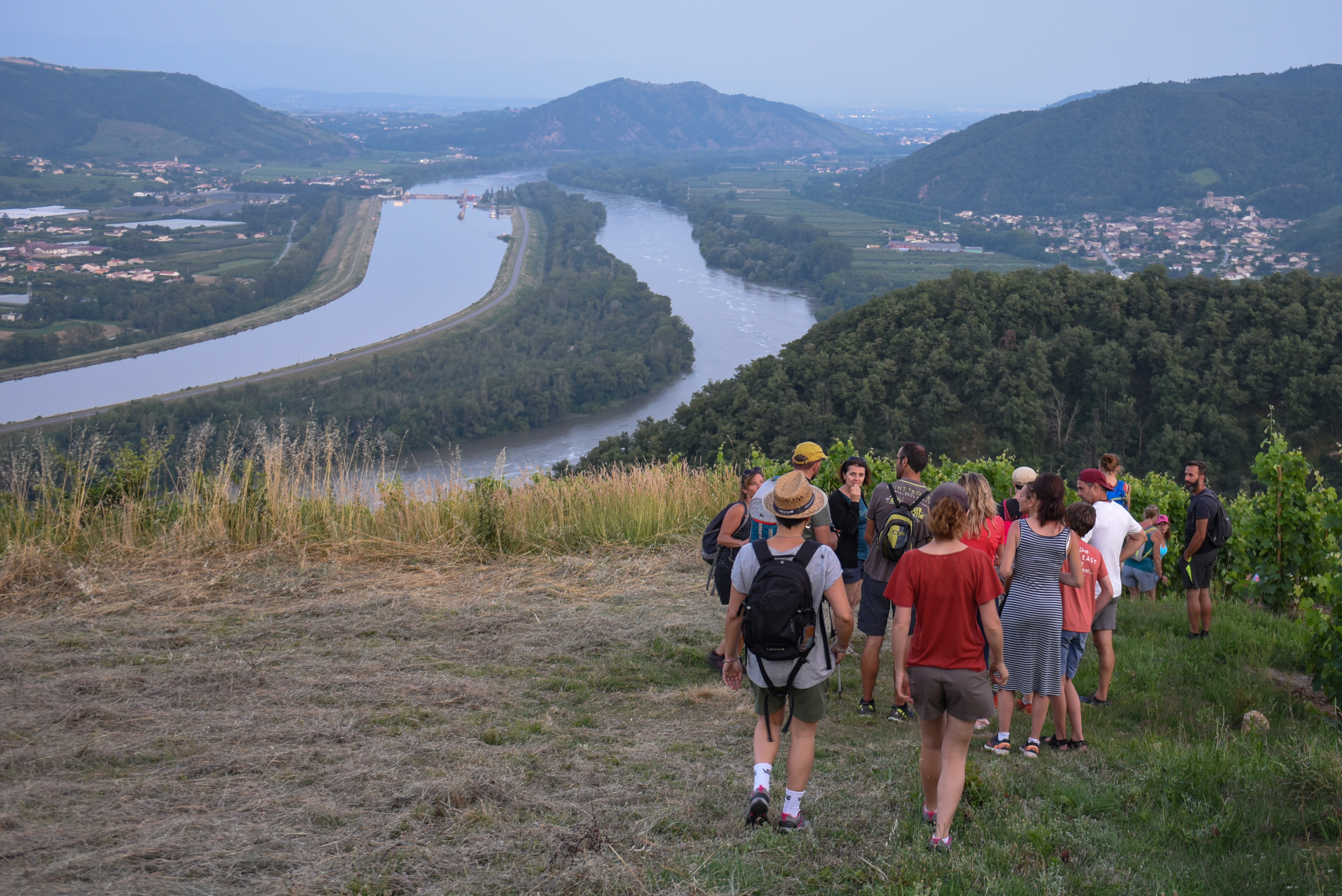
A very pleasant walk between the slopes of the Saint-Joseph, the freshness of the undergrowth and the wide views of the plateau.
To be discovered in the guidebook on sale at the tourist office and the "MHIKES" application.
Discover it in the guide available for purchase at the Tourist Office and on the “MHIKES” app.
Find this route on the “MHIKES” app.
This free app turns your smartphone into a hiking GPS. Once the route has been downloaded, there’s no need to stay connected and no risk of getting lost.
Walkers are guided by voice instructions from their device, which alerts them to changes in direction, natural or historical points of interest, and any areas requiring extra attention.
Photos, audio content, and short quizzes are also included to enhance the walk and help with orientation along the way.

Photos

Shops, Services and Heritage Sites


You will also like