
4
 Trail Running
 Gare SNCF - St Vallier, Saint-Vallier
10.73 km
Distance
317 m
Positive elevation
312 m
Negative elevation
348 m
Max. altitude
Medium
Difficulty
Opened
Routes
Very low slope <5% %
Low slope <7% %
Moderate slope <10% %
Steep slope <15% %
Very steep slope >15% %
Description
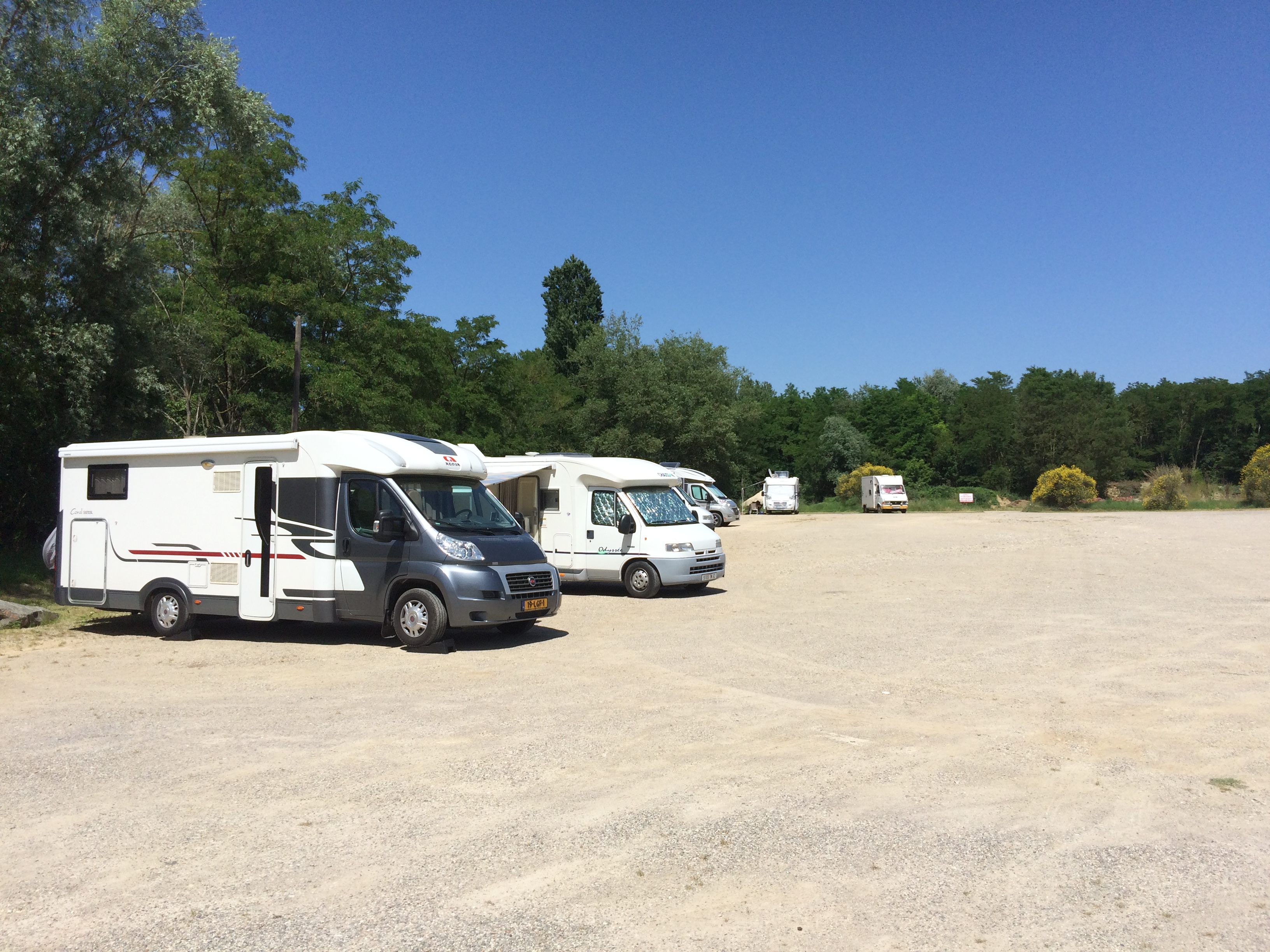
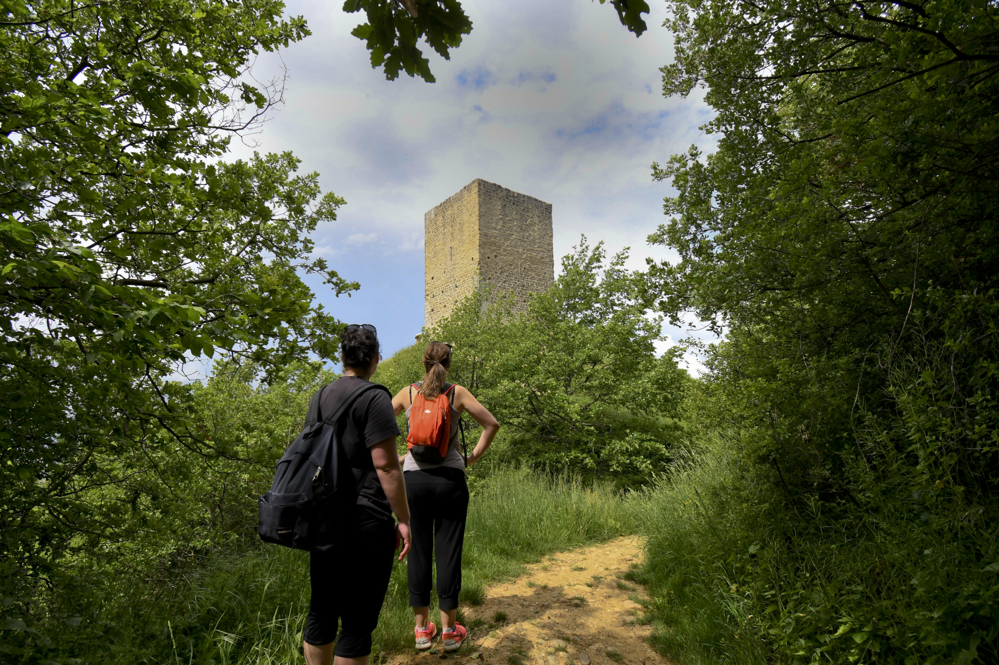
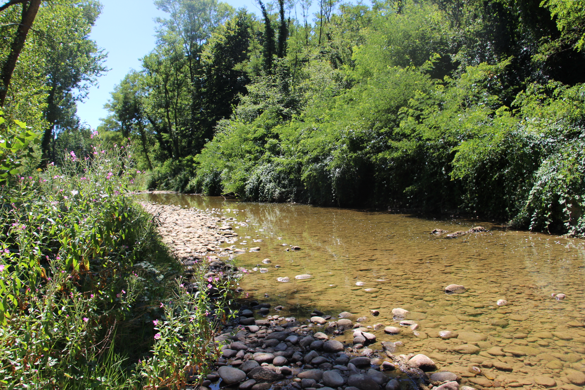
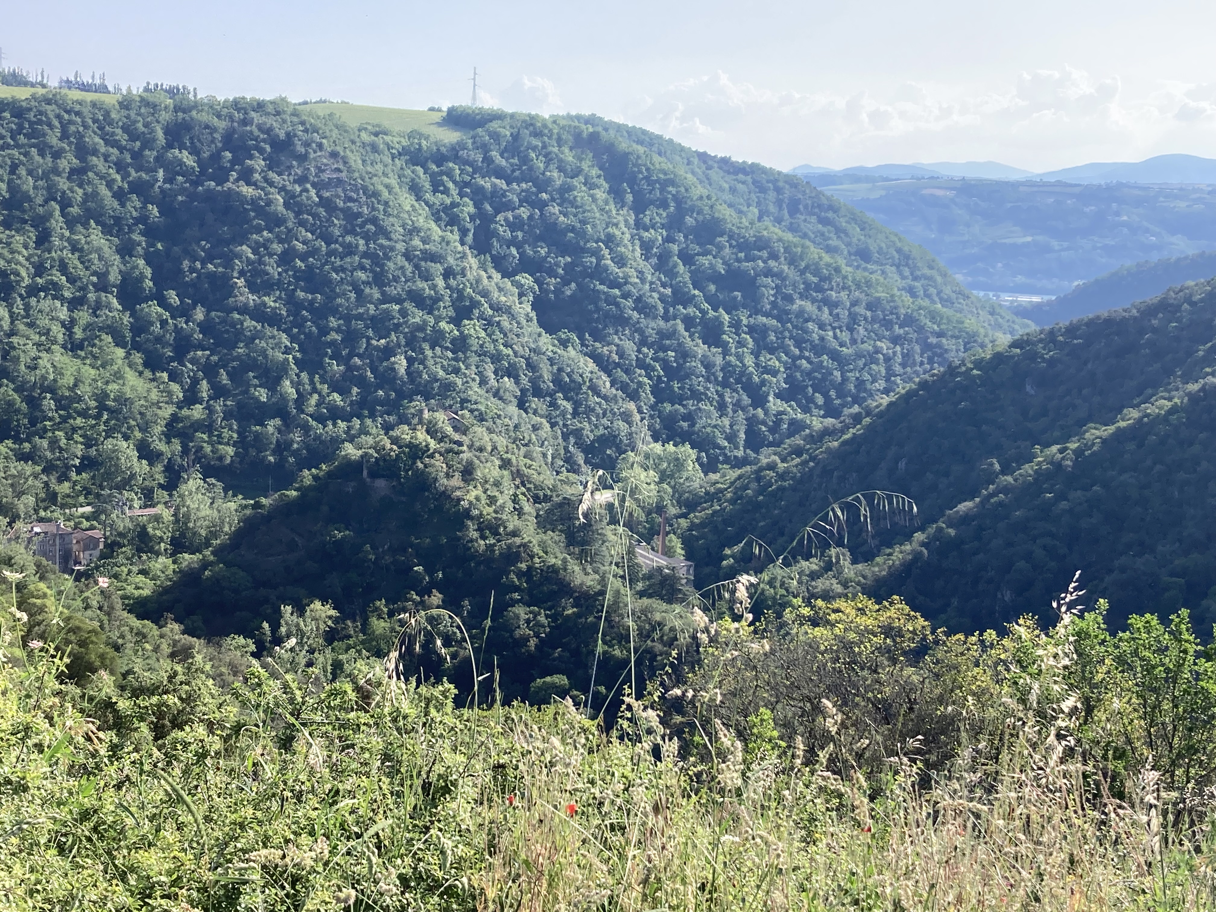
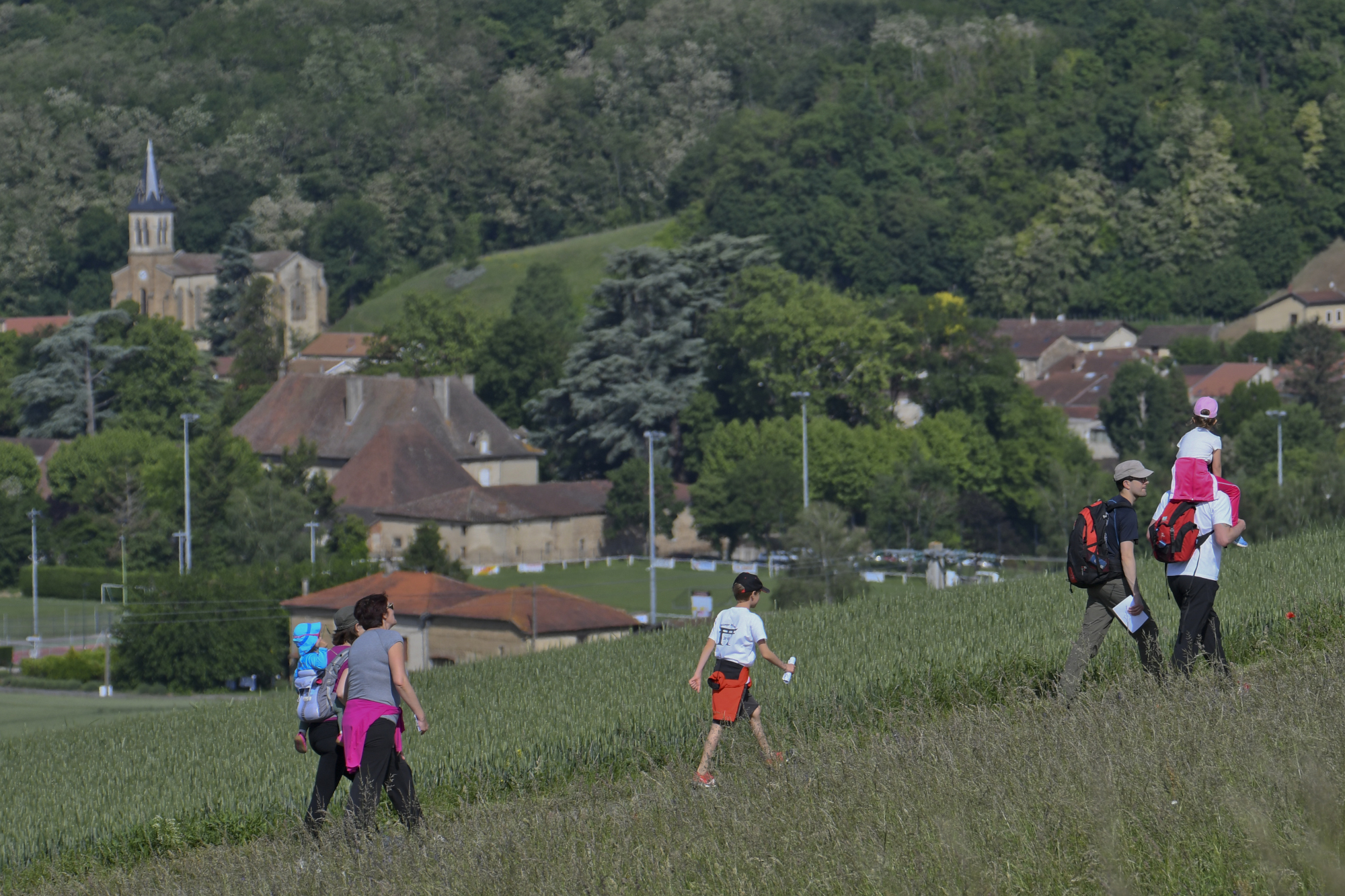
Directly accessible from the station for those arriving by train, this route takes in the heights of the Rhône valley.
The outward journey takes place on a pretty balcony path, before climbing upwards and returning to shadier areas, ideal in warmer weather. From a technical point of view, most of the route takes place on wide paths, which can be more or less technical depending on rainfall, with some gullied areas.
Source APIDAE
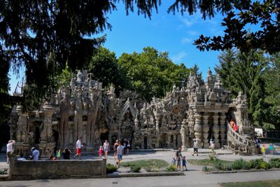
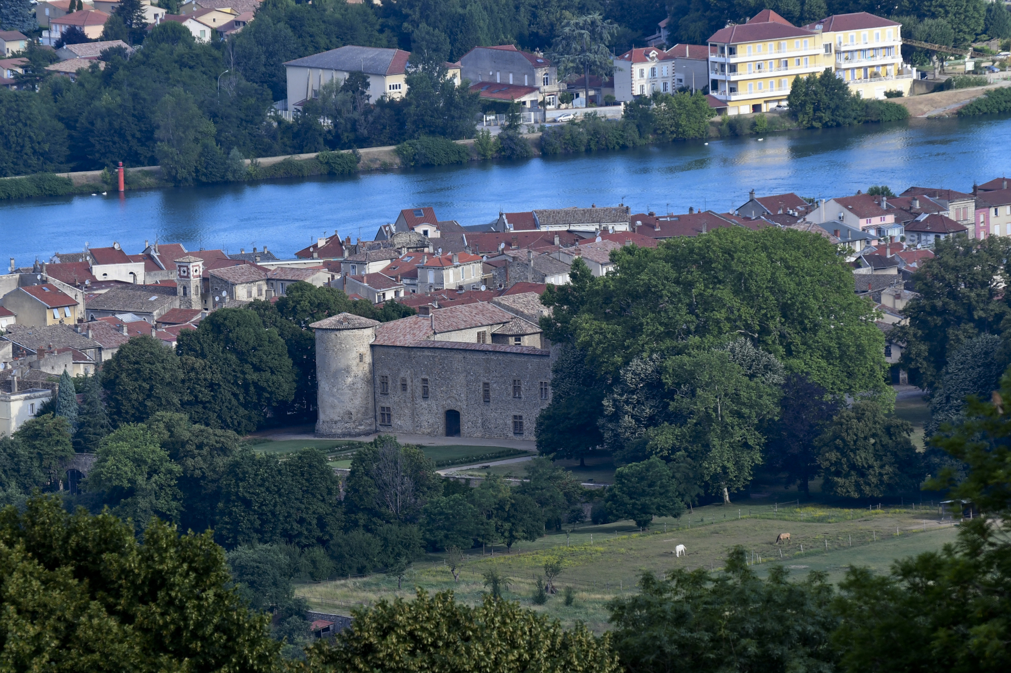
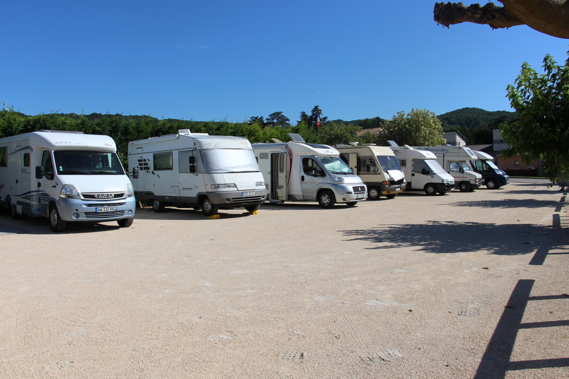
Photos
Shops, Services and Heritage Sites


You will also like
Explore the best spots!
We have picked out for you the best destinations and routes, marked out by local experts and respectful of the environments in which they take place. Routes, accommodation, courses, races, equipment, find all the good addresses and recommendations of the On Piste team to organise your next walking, cycling or skiing session. Let us guide you and don't miss any point of interest.
© 2022 On Piste
v. 1.45.0
English
Français
Spanish
Italian
Catalan