
15
 Trail Running
Parcours balisé ✅
Guidage vocal 🔊
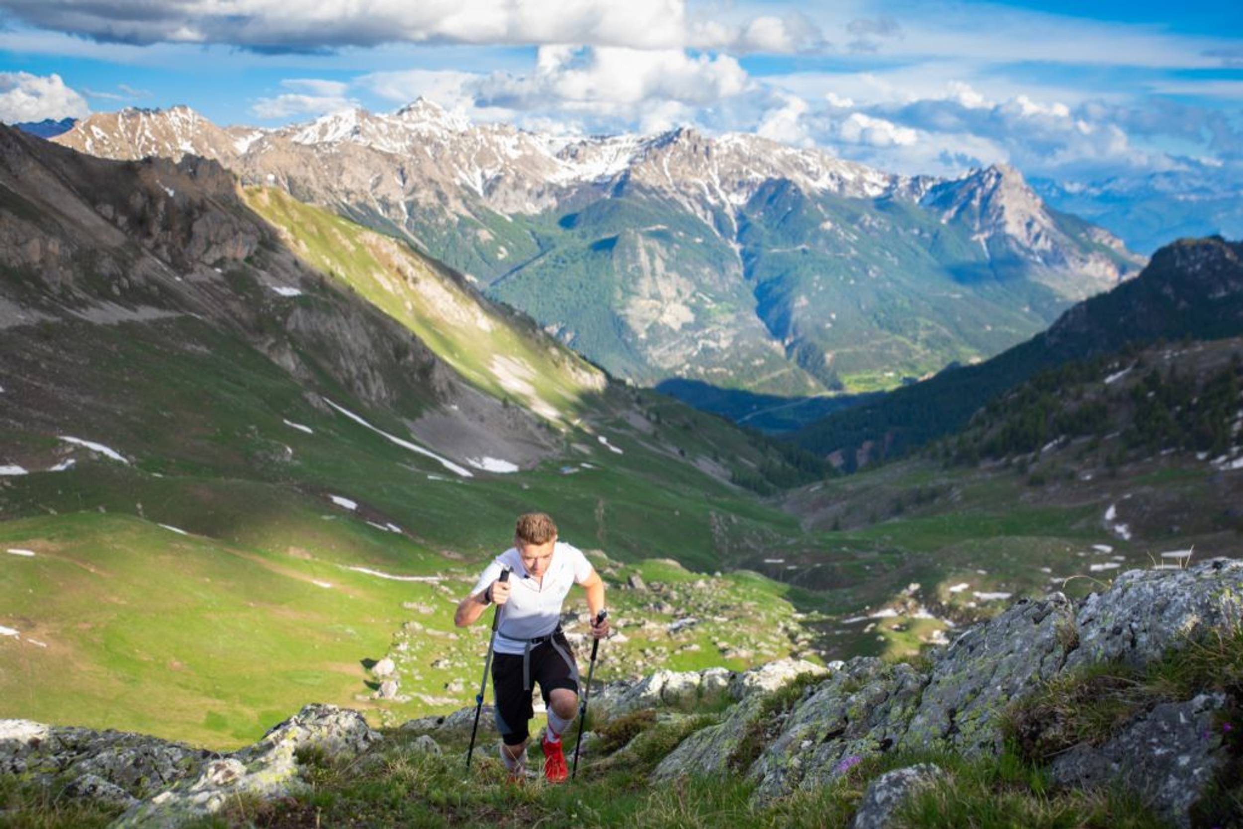
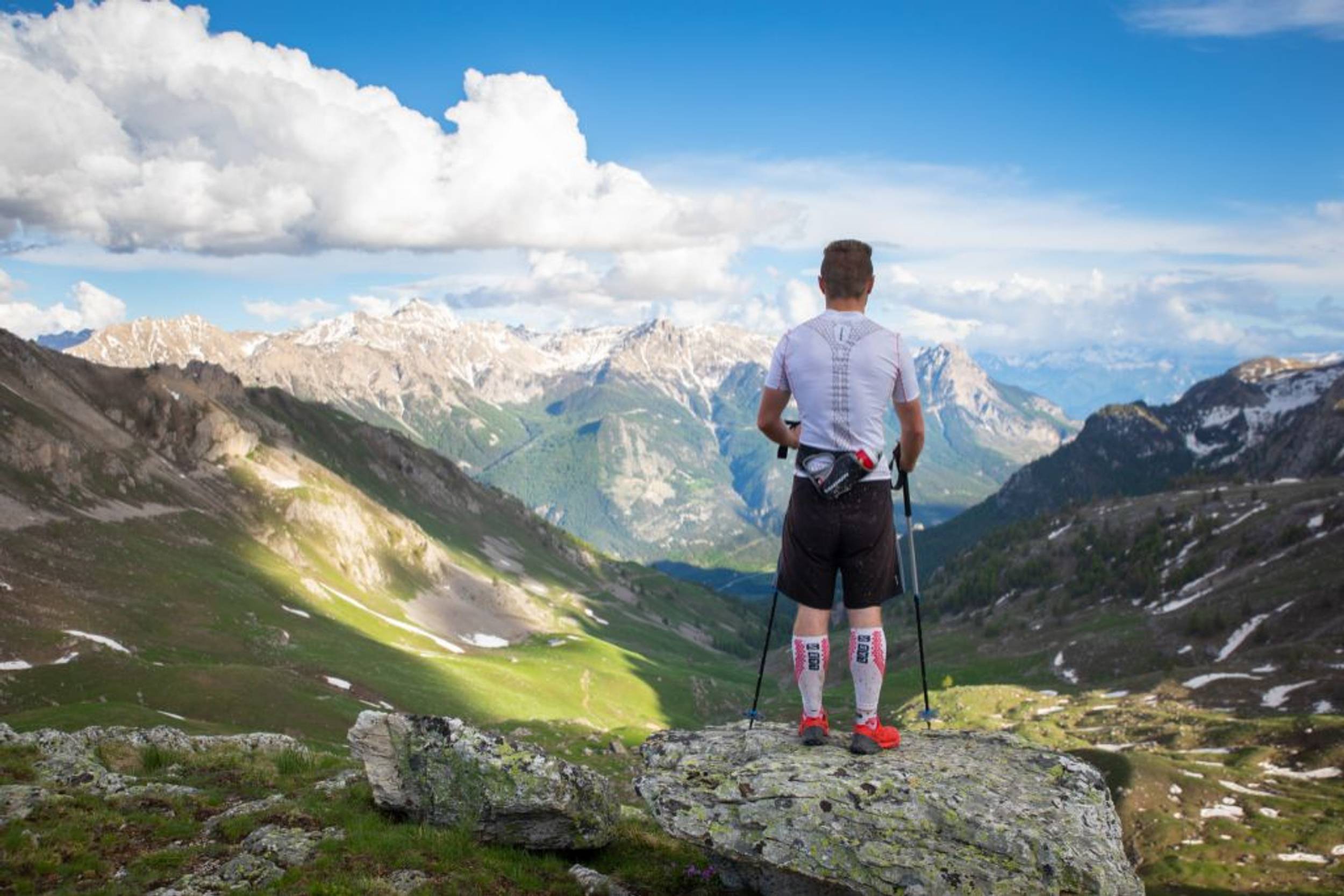
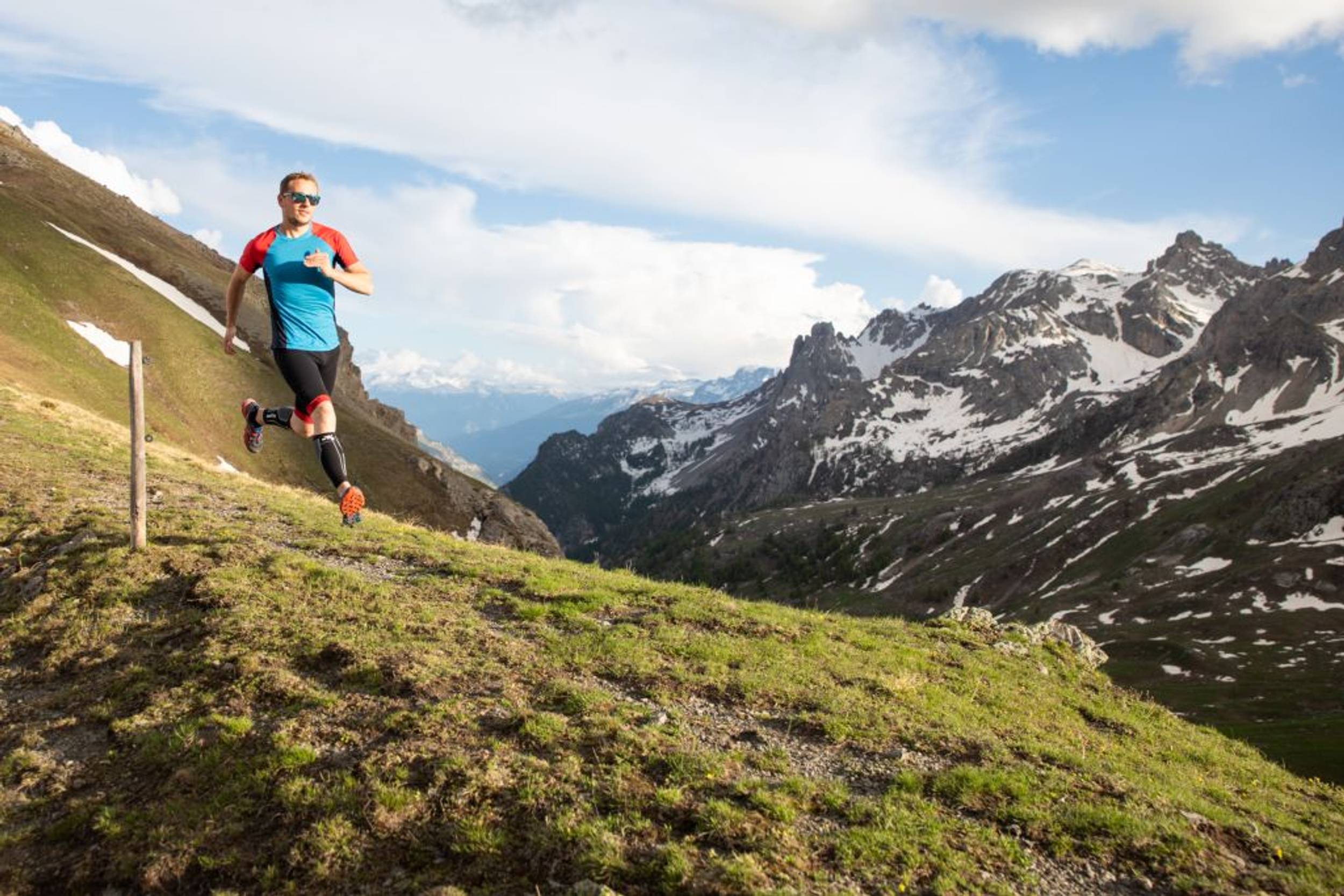
The Pays des Écrins Super Noir (trail no. 15)
Camping l’Iscle de Prelles, Saint-Martin-de-Queyrières
111.41 km
Distance
6630 m
Positive elevation
6627 m
Negative elevation
2710 m
Max. altitude
Very hard
Difficulty
Closed• L'hiver est là, on se retrouve au printemps ! Venez sur nos snowtrails !
Routes
Very low slope <5% %
Low slope <7% %
Moderate slope <10% %
Steep slope <15% %
Very steep slope >15% %
Description
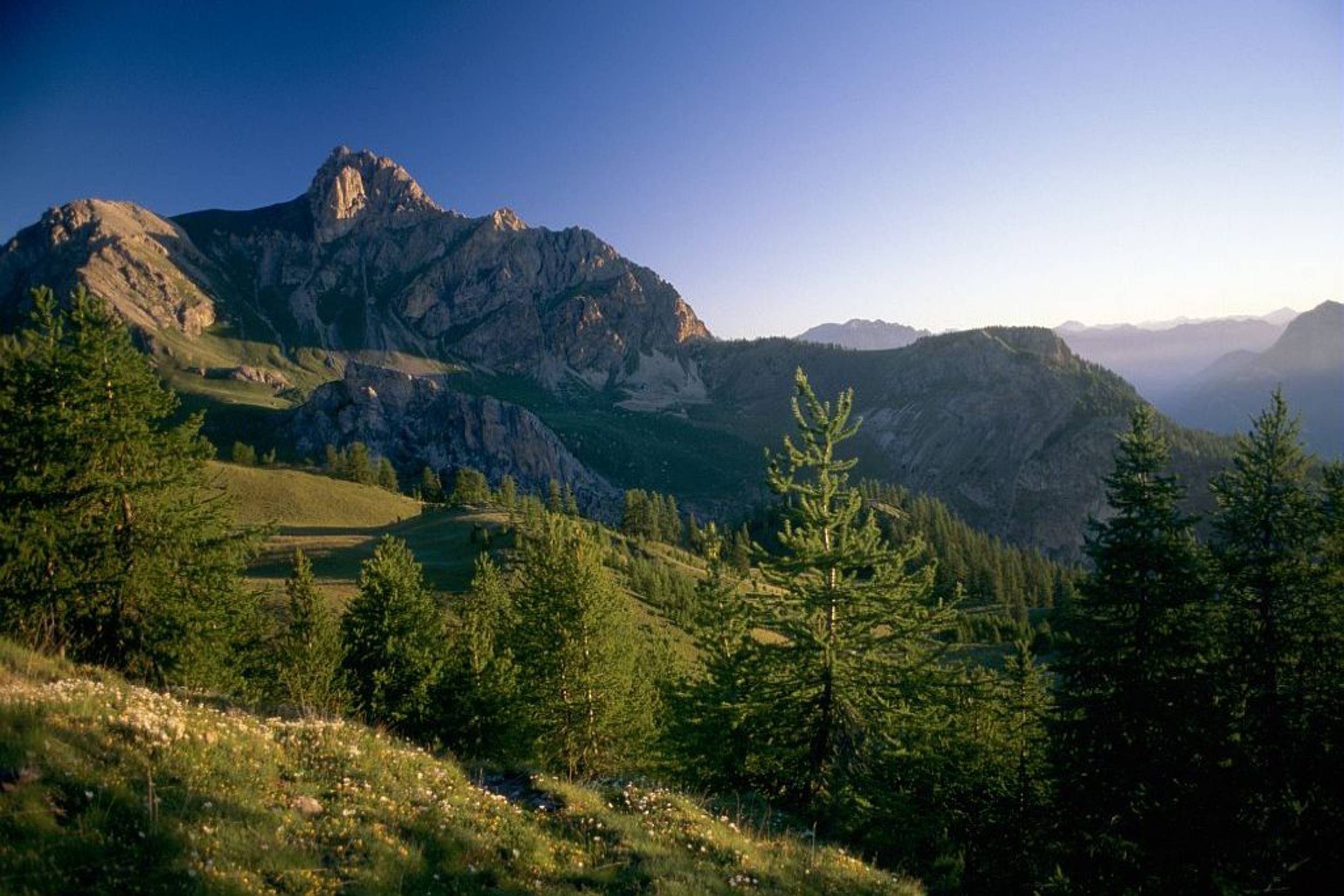
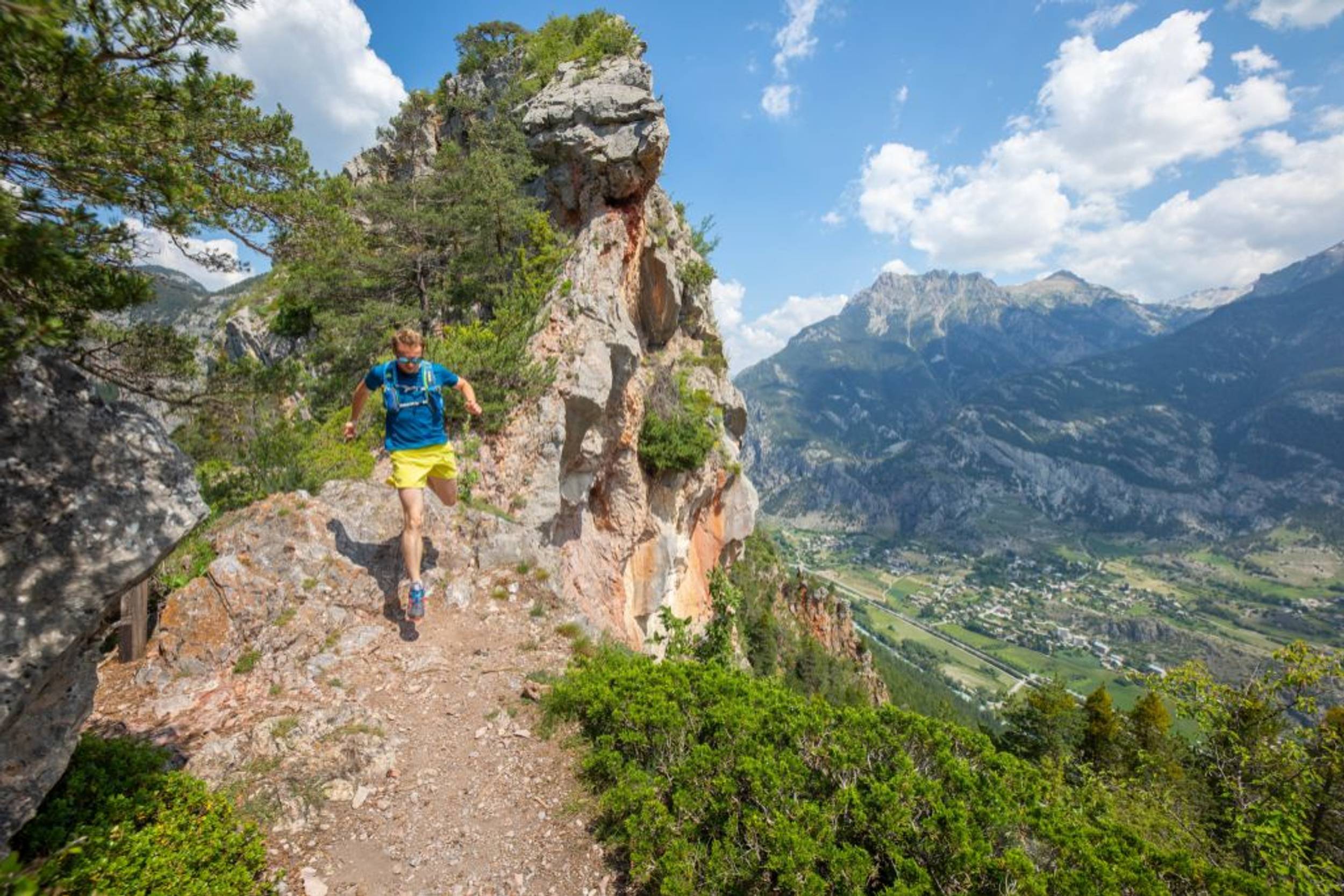
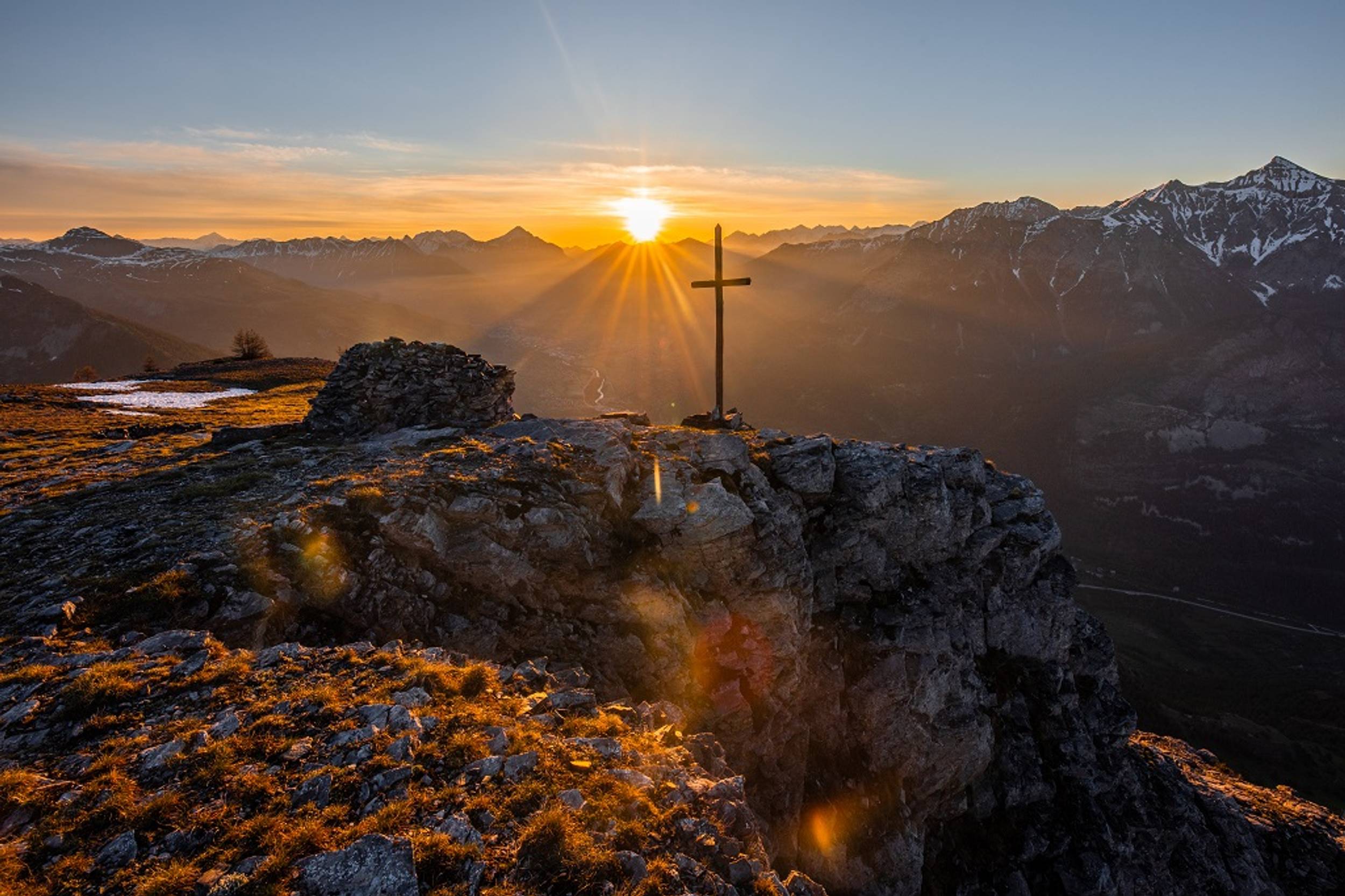
A complete circuit of the mountain trail area, the best possible way to soak up the atmosphere of the Pays des Écrins!
Breathtaking panoramas, paths hugging iconic peaks, high lakes, alpine meadows, larch forests… Cover more than 100 kilometres through the Pays de Écrins to discover the diversity of this region in terms of landscapes and flora and fauna
Source APIDAE
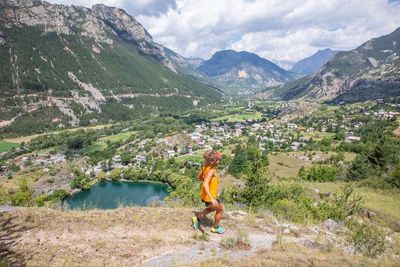
Photos
Shops, Services and Heritage Sites


You will also like
Explore the best spots!
We have picked out for you the best destinations and routes, marked out by local experts and respectful of the environments in which they take place. Routes, accommodation, courses, races, equipment, find all the good addresses and recommendations of the On Piste team to organise your next walking, cycling or skiing session. Let us guide you and don't miss any point of interest.
© 2022 On Piste
v. 1.43.5
English
Français
Spanish
Italian
Catalan