
13
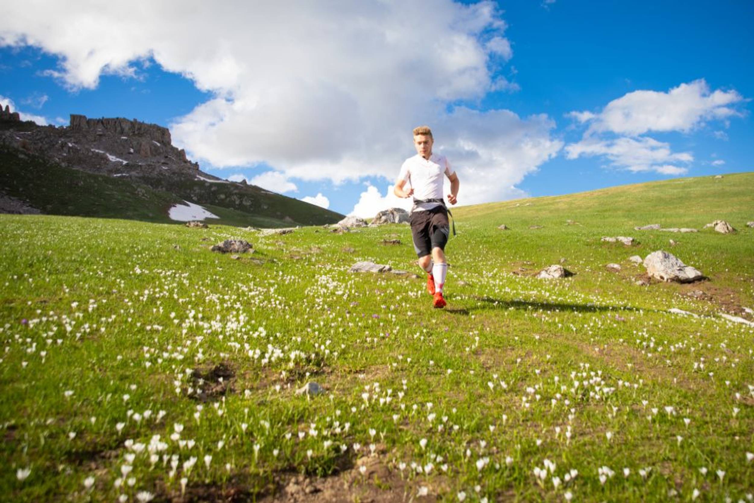
 Trail Running
Parcours balisé ✅
Guidage vocal 🔊
The Montbrison tour (trail route no. 13)
Parking Pont du Rif, Les Vigneaux
31.87 km
Distance
1796 m
Positive elevation
1799 m
Negative elevation
2593 m
Max. altitude
Very hard
Difficulty
Under surveillance• Parcours en cours de vérification à la sortie de l'hiver, attention au balisage et à la végétation.
Routes
Very low slope <5% %
Low slope <7% %
Moderate slope <10% %
Steep slope <15% %
Very steep slope >15% %
Description
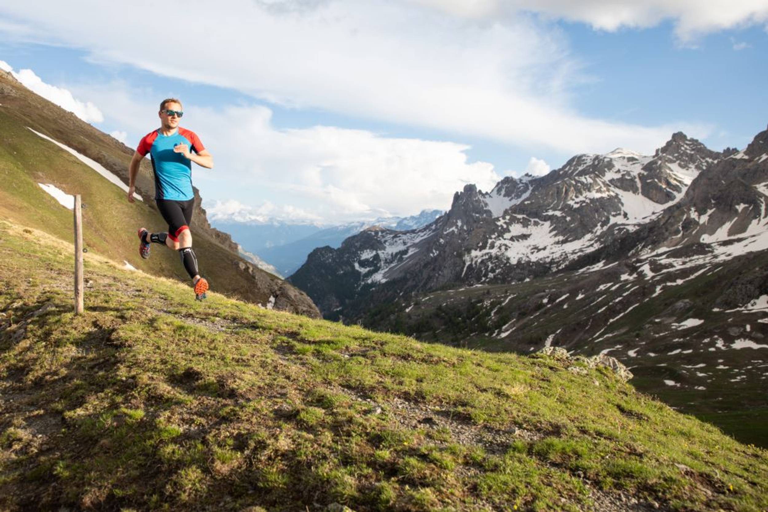
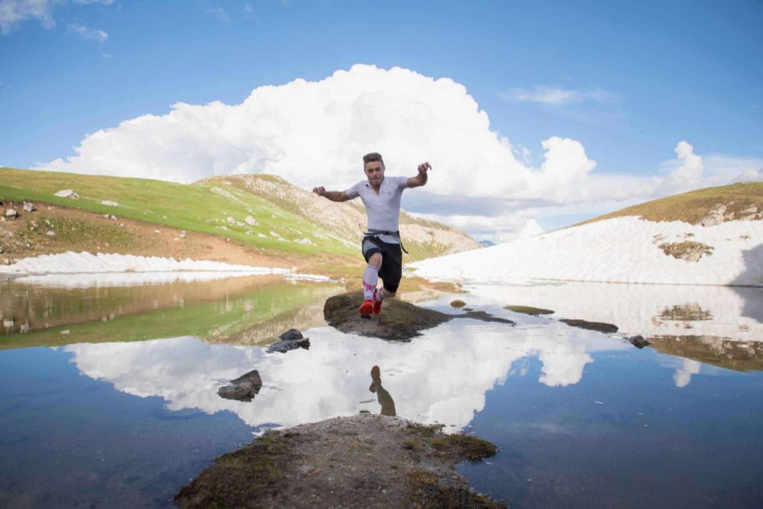
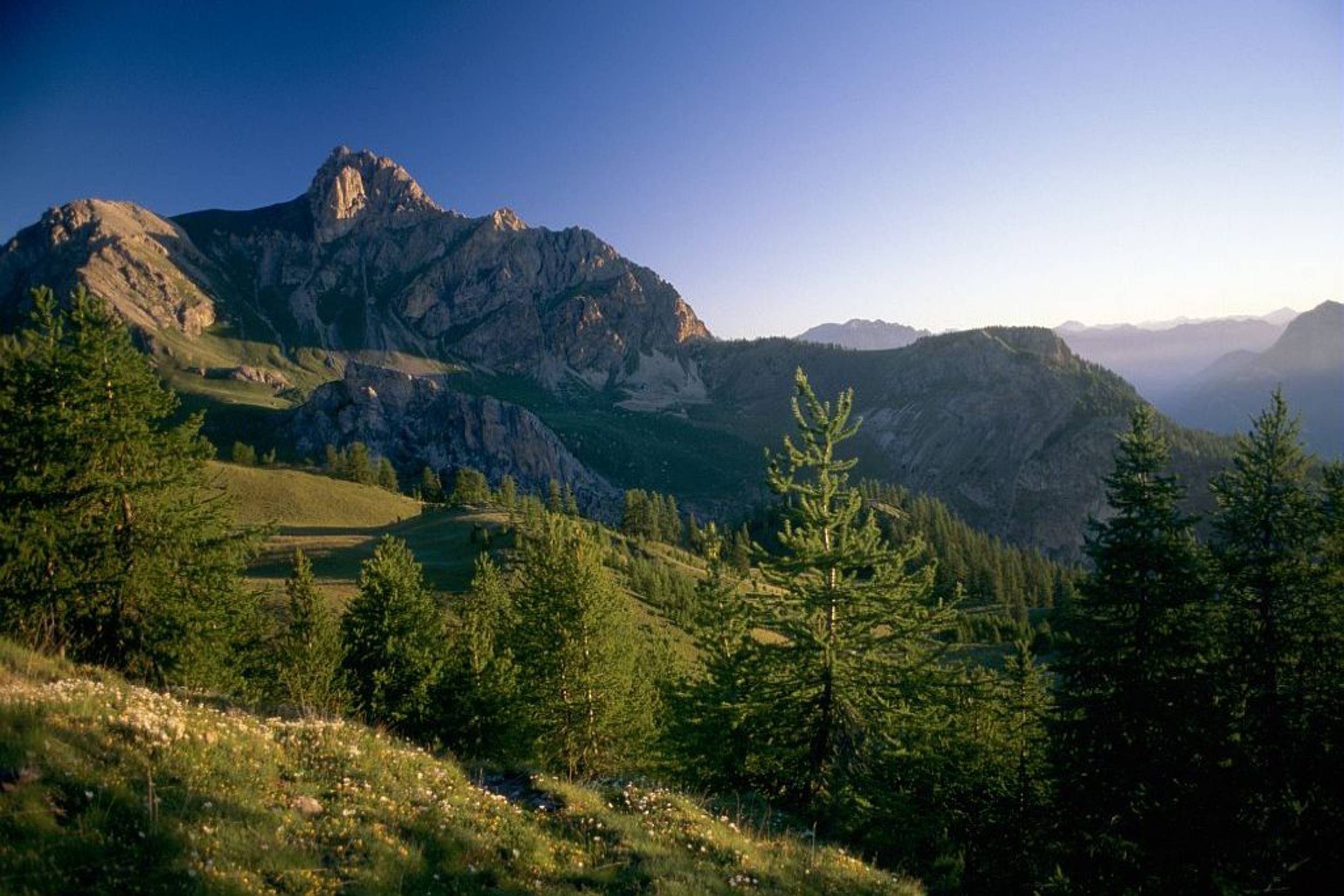
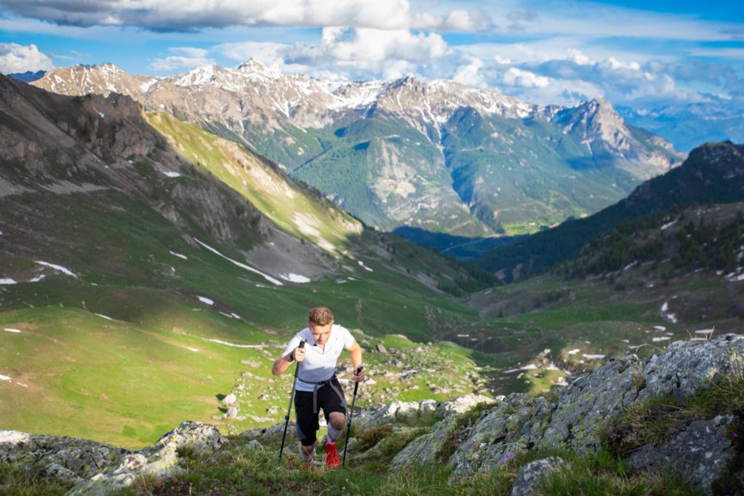
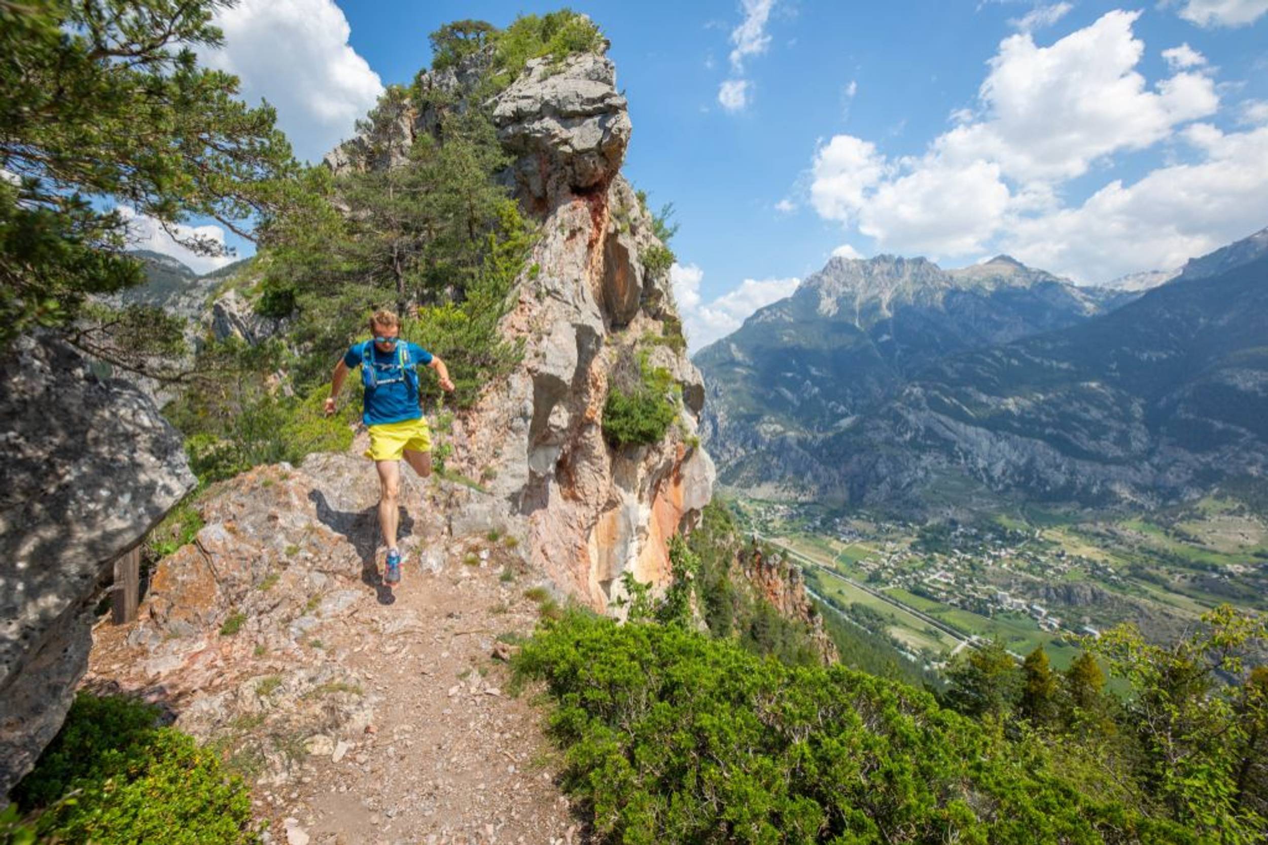
A splendid circuit around the Montbrison massif against a backdrop of pine forests, alpine pastures and cliffs, its high point being a stunning crossing over the Col de Vallouise.
“This is a mega-itinerary. Of course, the highlight is the crossing over the Col de Vallouise, at the end of a long climb. A splendid descent through alpine pastures awaits us, before entering the forest again.” Marie-Geneviève Nicolas, park ranger at the Parc National des Écrins.
Source APIDAE
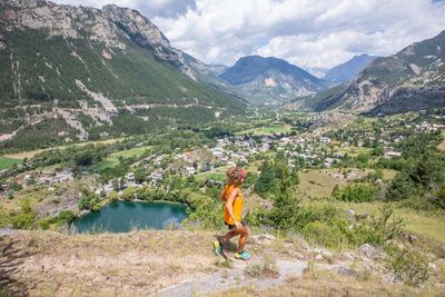
Photos
Shops, Services and Heritage Sites


You will also like
Explore the best spots!
We have picked out for you the best destinations and routes, marked out by local experts and respectful of the environments in which they take place. Routes, accommodation, courses, races, equipment, find all the good addresses and recommendations of the On Piste team to organise your next walking, cycling or skiing session. Let us guide you and don't miss any point of interest.
© 2022 On Piste
v. 1.45.0
English
Français
Spanish
Italian
Catalan