Hiking
Loop around Chamrousse
Routes
Very low slope <5% %
Low slope <7% %
Moderate slope <10% %
Steep slope <15% %
Very steep slope >15% %
Description
Departure: Chamrousse 1750 - Roche-Béranger Tourist Office (or Chamrousse 1650 - Recoin).
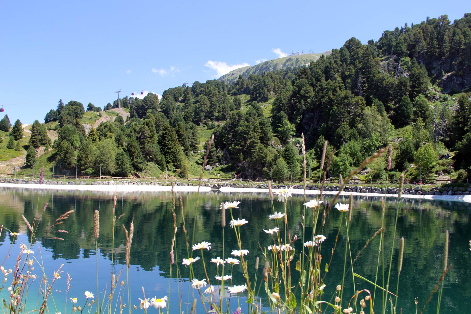
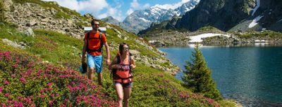
In less than 3 hours, take a tour of the resort ! Chamrousse 1750 > Vallons lake > Chamrousse 1650 > Chamrousse 1750!
Warning: this route is not referred to as "tour de Chamrousse" on the signposts.
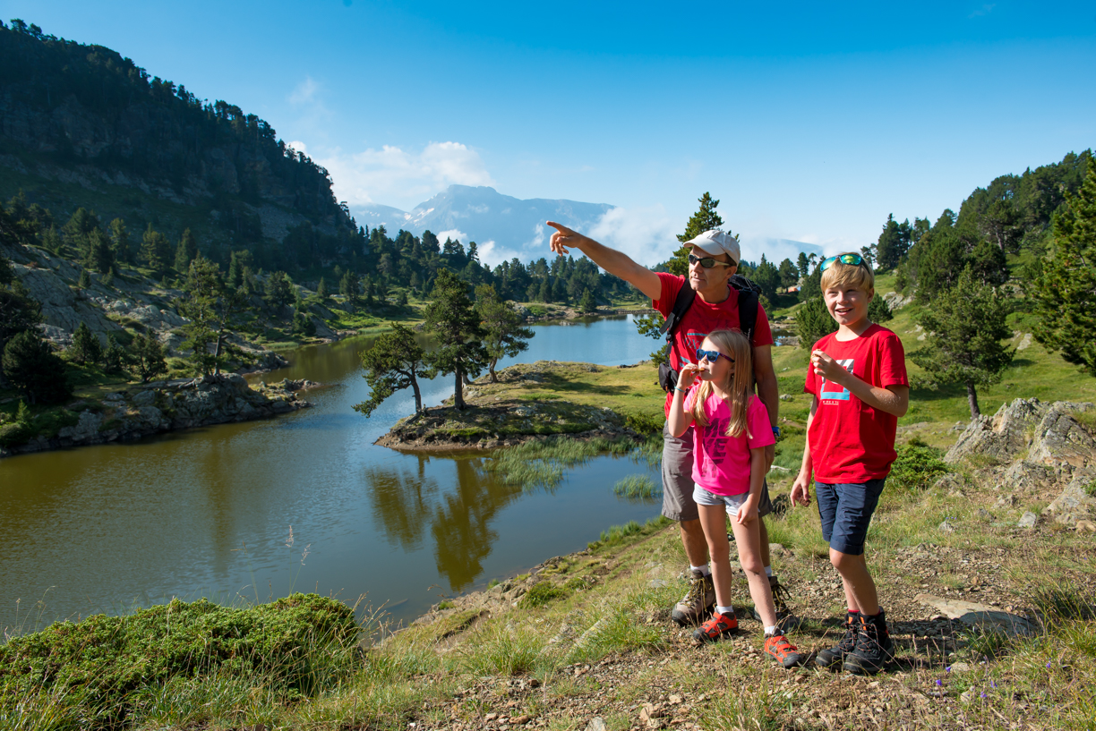
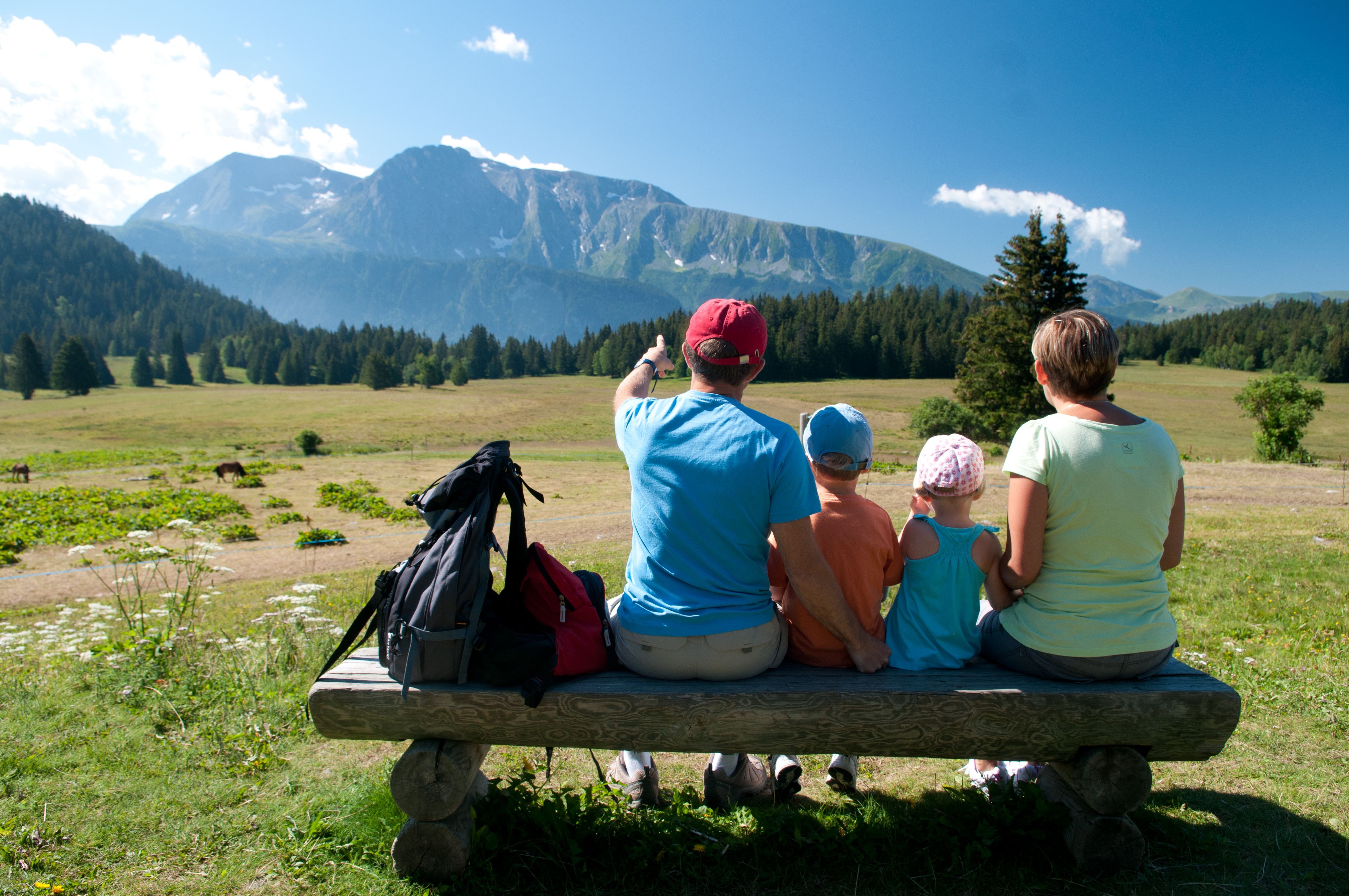
With its small vertical drop and the easy access to the resort, this walk will please the people willing to discover hiking. Take the time to contemplate the scenery or have a short break at lake Vallons.
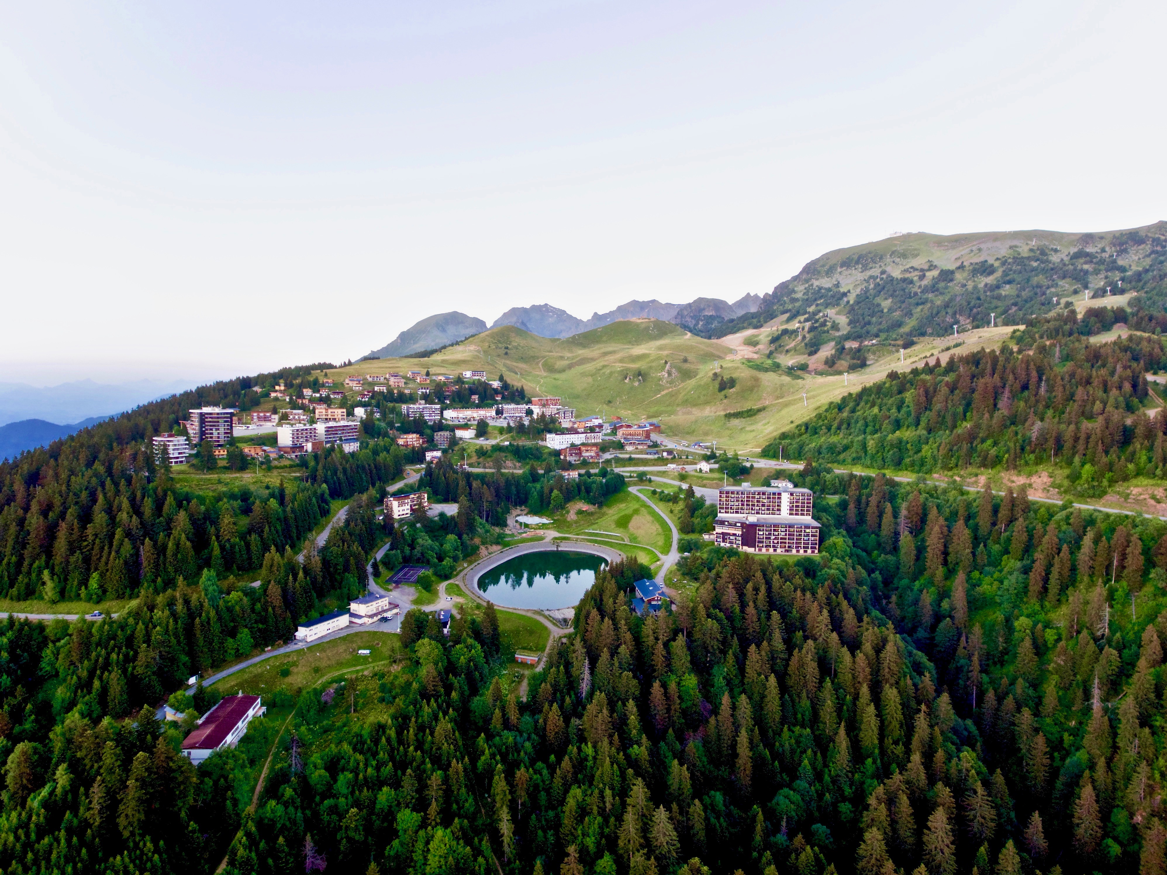
From the commercial galerie of Roche-Béranger, take the path climbing up till the Vallons lake. Walk down the hill until the side of the resort 1650 (Recoin) to get back to the starting point by the pedestrian path, in the bottom of the resort.
☆ Little extra: "Hiking star" a medal for children in summer too!
Showing us a picture taken during their hike, courageous little walkers will be awarded a diploma with their name + bronze star "Vallons lake" on sale (3€ at the Tourist Offices) to wear proudly on the backpack.
Photos
Shops, Services and Heritage Sites


You will also like