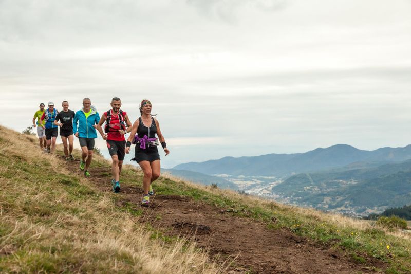
 Trail Running
La Roche des Bioqués
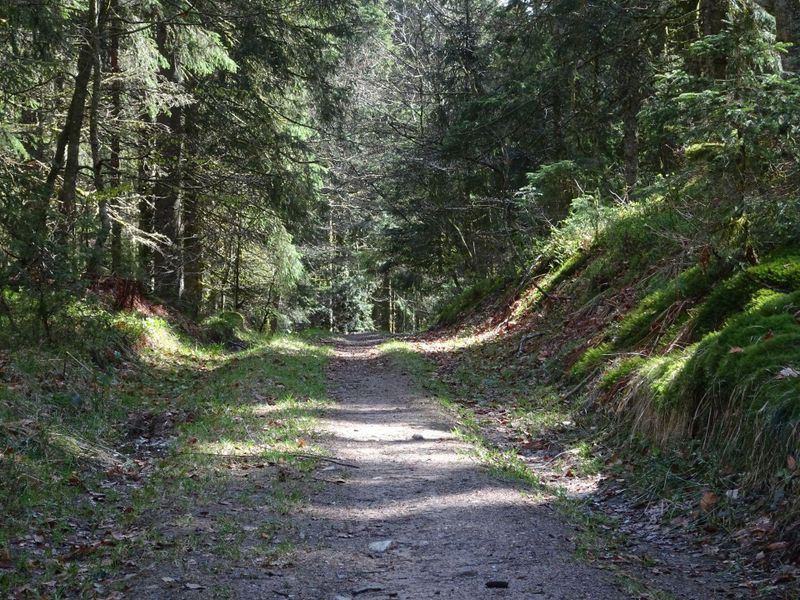
Routes
Very low slope <5% %
Low slope <7% %
Moderate slope <10% %
Steep slope <15% %
Very steep slope >15% %
Description
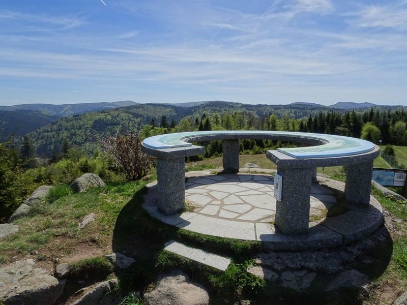
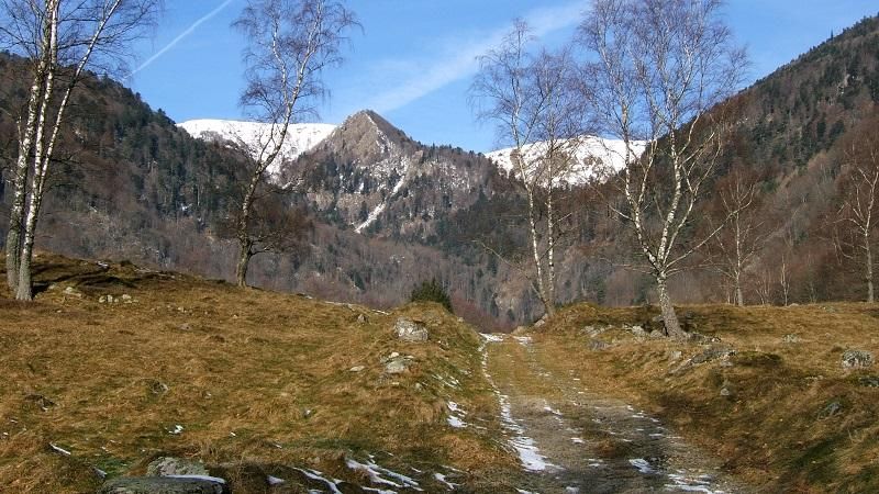
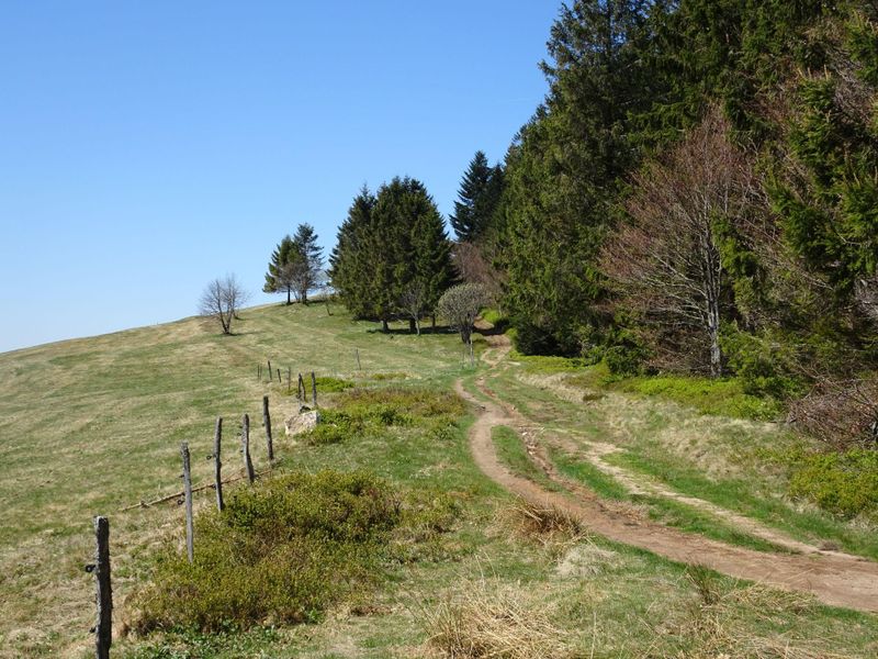
Climb to the Tête de Grouvelin (orientation table and panoramic view of the Massif) via the Biazot, before reaching the Auberge de Grouvelin and then heading towards the Roche des Bioqués via the ridge (view of the glacial valley of Chajoux). Then head for the Hautes-Vannes and the Rayée to begin the final descent by the pistes to the finish.
It is essential that we respect the work of the farmers and other landowners who welcome us onto their land:
In order to prevent the herds from escaping, close all the electric fences and do not damage them!
Also, do not disturb the herds, greet people with a friendly "hello", and of course take back all your rubbish! Don't cut routes through the meadows, don't picnic either!
Translated with www.DeepL.com/Translator (free version)
Discover the Destination
See more Destinations
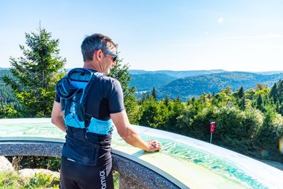
Trail RunningPhotos
Shops, Services and Heritage Sites


You will also like