Vosges - Gérardmer & Vallée de Munster
Log in
Create an account
routes & spots
events
providers
Difficulty
Not secured
Easy
Medium
Hard
Very hard
Positive elevation
0 m
5000 m
Distance
0 km
150 km
It is not possible to select the difficulty at the same time as distance and elevation
Departure town
Gérardmer
La Bresse
Le Valtin
Mittlach
Muhlbach-sur-Munster
Sondernach
Soultzeren
Stosswihr
Xonrupt-Longemer
More filters
See only open routes
/
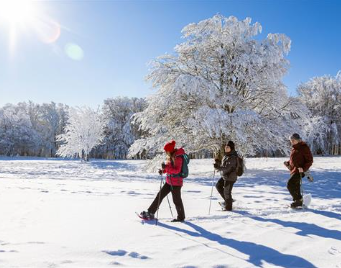
Snowshoes
La Chenille - Gérardmer
Gérardmer
Distance
1.98 km
Positive elevation
98 m
Negative elevation
93 m
Max. altitude
1040 m
Closed
/
Snowshoes
La Biquette - Gérardmer
Gérardmer
Distance
2.26 km
Positive elevation
34 m
Negative elevation
30 m
Max. altitude
1102 m
Closed
/
Snowshoes
Le Belvédère - Les Trois Fours
Le Valtin
Distance
2.41 km
Positive elevation
61 m
Negative elevation
61 m
Max. altitude
1262 m
Closed
/
Snowshoes
L'Asticot - Gérardmer
Gérardmer
Distance
3.51 km
Positive elevation
179 m
Negative elevation
178 m
Max. altitude
1005 m
Closed
1
Snowshoes
L'Escargot Blanc - Gérardmer
Gérardmer
Distance
10.43 km
Positive elevation
387 m
Negative elevation
390 m
Max. altitude
1126 m
Closed
1
Snowshoes
Boucle du Mohrenloch - Le Gaschney
Stosswihr
Distance
3.27 km
Positive elevation
123 m
Negative elevation
123 m
Max. altitude
1057 m
Closed
1
Trail Running
N°1 - Tour des Pistes
Gérardmer
Distance
7.14 km
Positive elevation
299 m
Negative elevation
294 m
Max. altitude
1129 m
Parcours balisé ✅
Guidage vocal 🔊
+ 1
1
Ski touring
Le Gaschney
Stosswihr
Distance
2.75 km
Positive elevation
286 m
Negative elevation
4 m
Max. altitude
1281 m
Espace Ski de Rando
Closed
1
Snowshoes
Boucle du Lac Vert - Le Tanet
Soultzeren
Distance
3.64 km
Positive elevation
146 m
Negative elevation
142 m
Max. altitude
1169 m
Closed
1
Snowshoes
Tour des Auberges - Schnepfenried
Sondernach
Distance
3.46 km
Positive elevation
85 m
Negative elevation
85 m
Max. altitude
1078 m
Closed
2
Trail Running
N°2 - Tête de Grouvelin
Gérardmer
Distance
9.85 km
Positive elevation
351 m
Negative elevation
345 m
Max. altitude
1127 m
Parcours balisé ✅
Guidage vocal 🔊
+ 1
2
Snowshoes
Autour du Sattel - Le Gaschney
Stosswihr
Distance
4.53 km
Positive elevation
114 m
Negative elevation
114 m
Max. altitude
994 m
Closed