
 Mountain bike
La Glacière
Routes
Very low slope <5% %
Low slope <7% %
Moderate slope <10% %
Steep slope <15% %
Very steep slope >15% %
Description
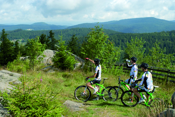
Au départ du Col du Surceneux (D23 direction Le Valtin) partir direction ouest jusqu'à la Roche des Bruyères (vue sur Gérardmer) puis le Col de Martimpré. Continuer en suivant le GR533 jusqu'au carrefour de Harfontaine où il faudra continuer à droite pour revenir jusqu'à la scierie du Lançoir dans le Défilé de Straiture. Suivre un temps la route qui remonte le vallon pour repartir en forêt vers le Schmalick puis la route forestière des Broches et enfin revenir à votre point de départ. Circuit long en forêt sur le secteur de Xonrupt côté Ban sur Meurthe. Parcours estimé à maximum 3 H.
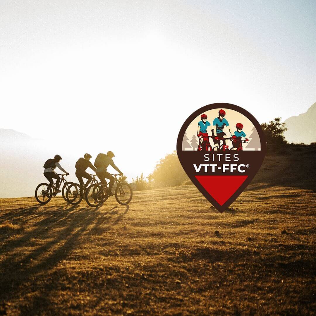
This route is labeled Site VTT-FFC®. It has been validated and checked by the French Cycling Federation, in conjunction with local authorities and clubs.
On the ground, let yourself be guided on this route using the colored FFC beacons: yellow (the most common), brown (for routes crossing a Regional Natural Park) or red (for the Grandes Traversées VTT® or routes of more than 80 km and the Grand Tours VTT®).
No POI available on this track.
Discover the Destination
See more Destinations
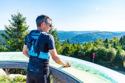
Mountain bikePhotos
Shops, Services and Heritage Sites


You will also like