
 Hiking
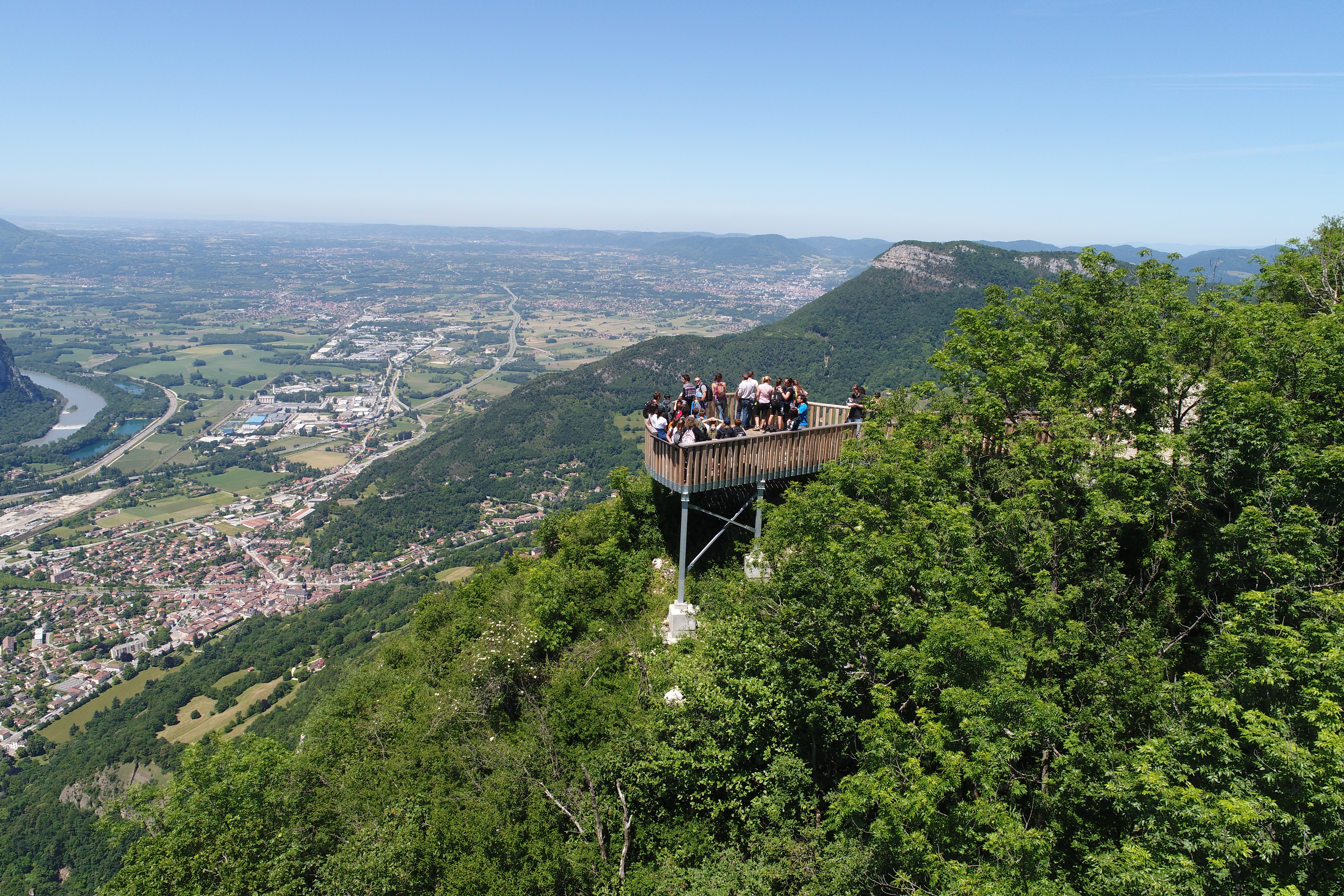
De la vallée de l’Isère à l’aiguille de Chalais
Voreppe
18.00 km
Distance
873 m
Positive elevation
864 m
Negative elevation
1004 m
Max. altitude
Very hard
Difficulty
Opened
Routes
Very low slope <5% %
Low slope <7% %
Moderate slope <10% %
Steep slope <15% %
Very steep slope >15% %
Description
Source APIDAE
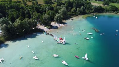
Photos
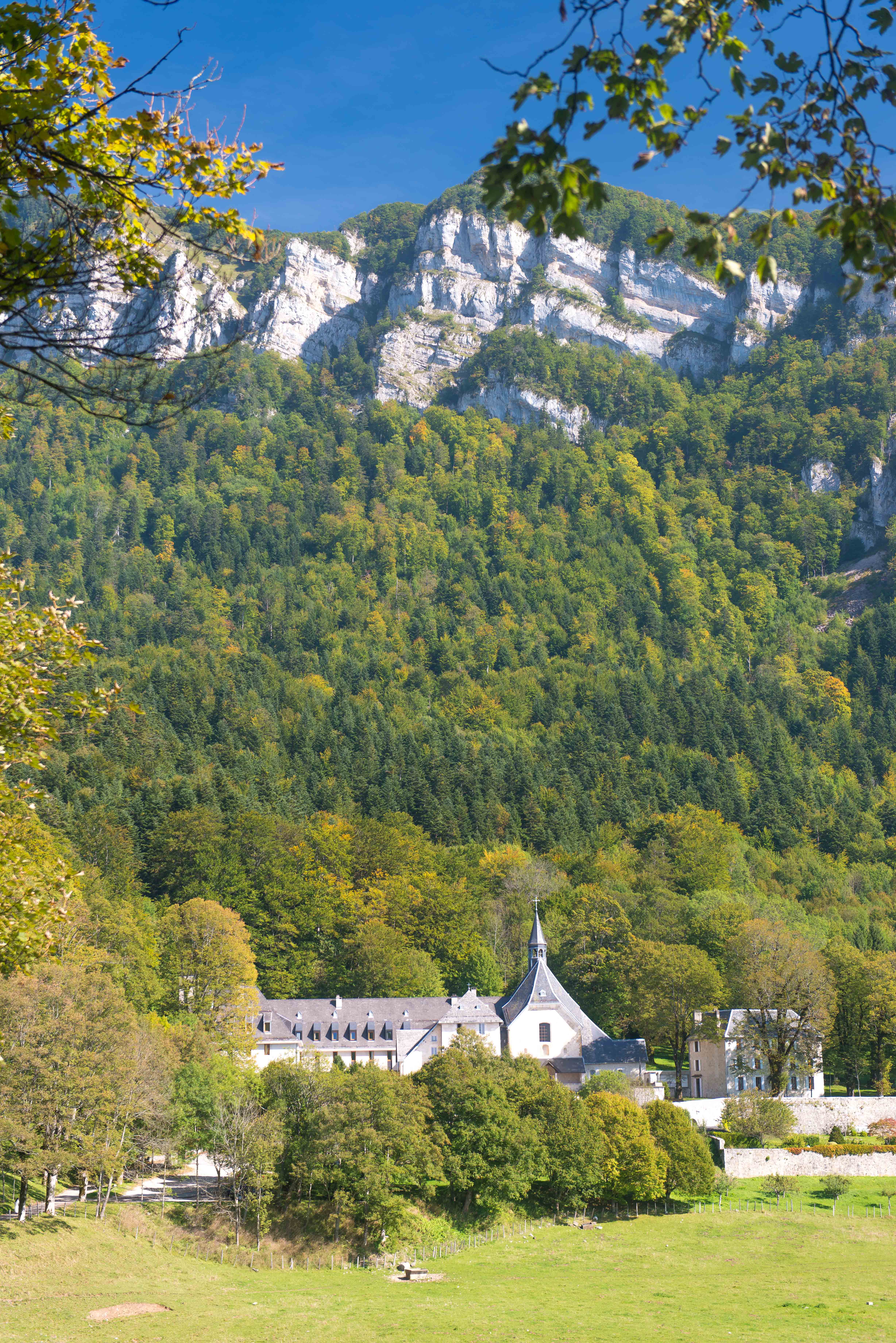
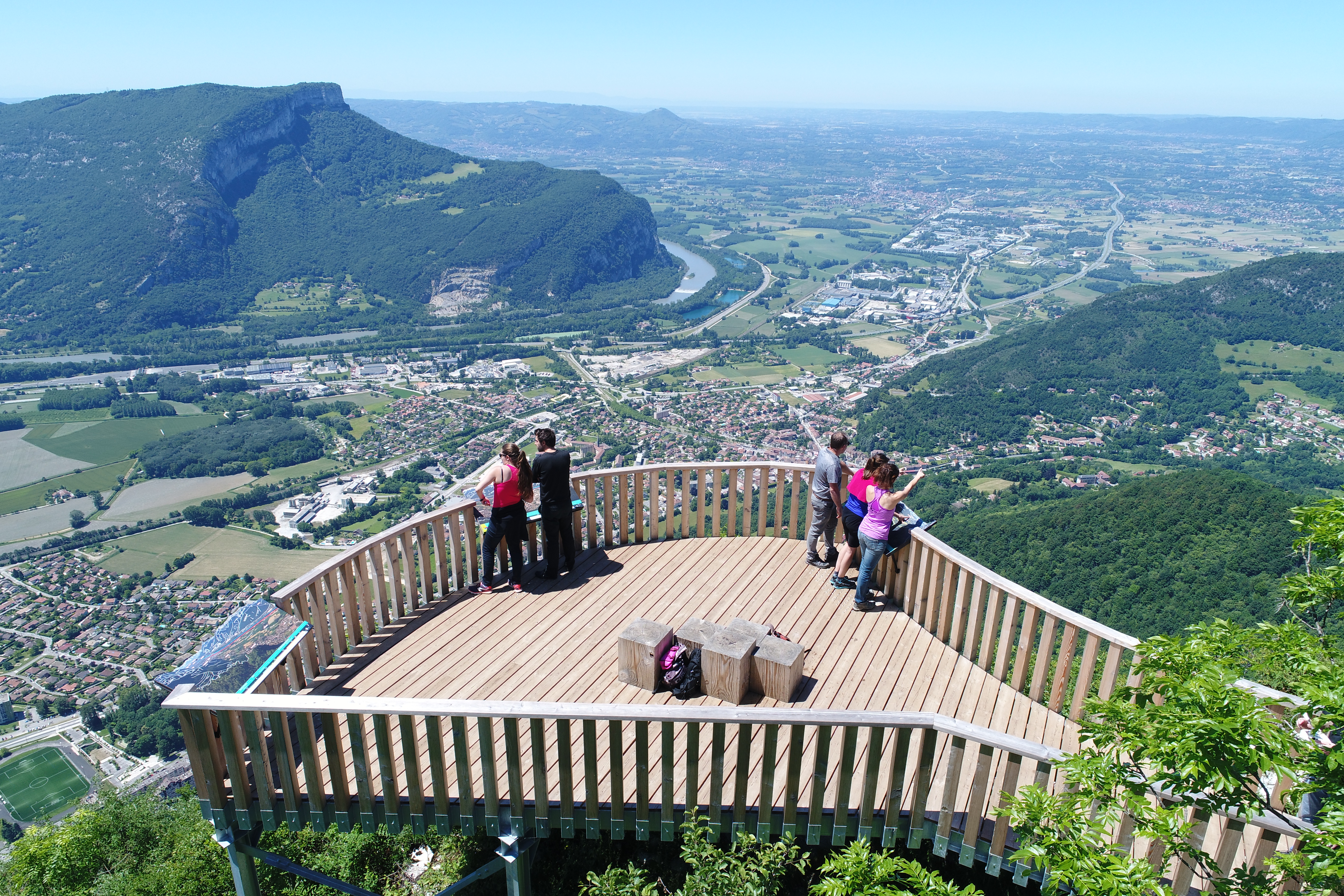
Shops, Services and Heritage Sites

You will also like



Explore the best spots!
We have picked out for you the best destinations and routes, marked out by local experts and respectful of the environments in which they take place. Routes, accommodation, courses, races, equipment, find all the good addresses and recommendations of the On Piste team to organise your next walking, cycling or skiing session. Let us guide you and don't miss any point of interest.
© 2022 On Piste
v. 1.45.1
English
Français
Spanish
Italian
Catalan