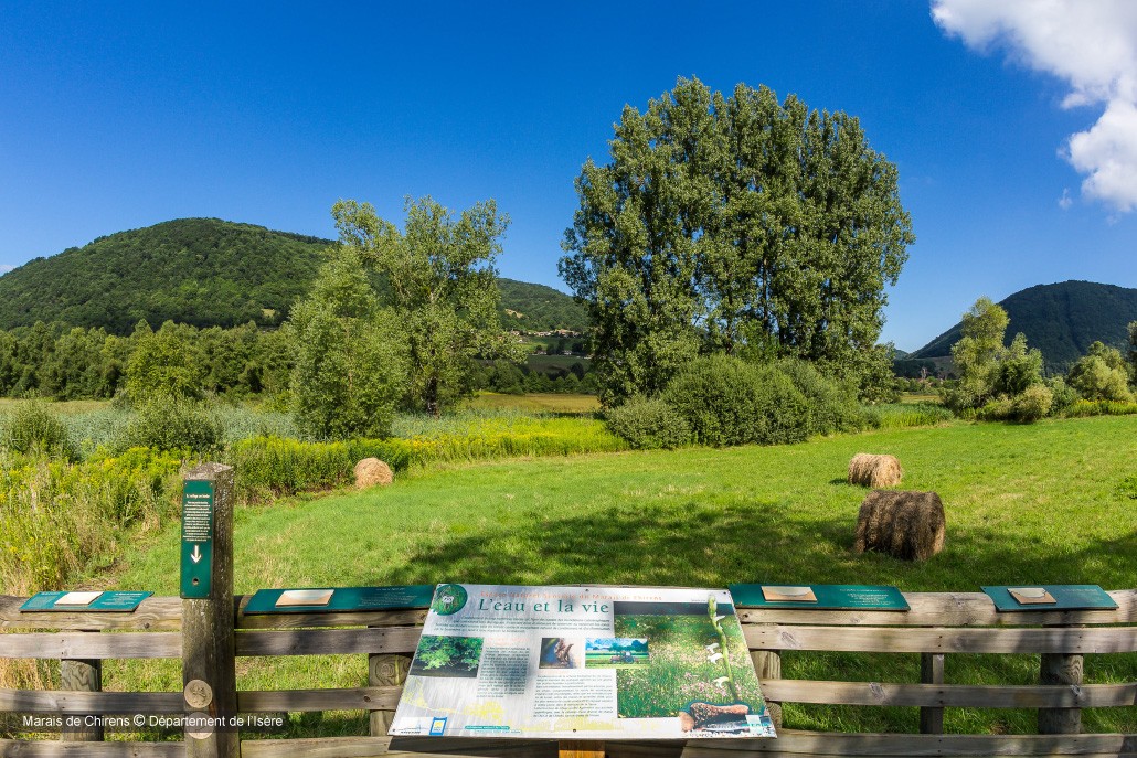
Pays Voironnais
Log in Create an account
Positive elevation
0 m 5000 m
Distance
0 km 150 km
It is not possible to select the difficulty at the same time as distance and elevation
Bilieu
Charavines
La Sure en Chartreuse
Oyeu
Rives
Saint-Aupre
Saint-Geoire-en-Valdaine
Saint-Nicolas-de-Macherin
Saint-Étienne-de-Crossey
Tullins
Villages du Lac de Paladru
Voiron
Voreppe
/
Hiking Hiking
Walking trail: The valley of the Fure
Rives
Distance 7.36 km
Positive elevation 111 m
Negative elevation 112 m
Max. altitude 412 m
Walking trail: The valley of the Fure
/
Hiking Hiking
Walking trail: Roche Corbière Gorges
Tullins
Distance 4.26 km
Positive elevation 98 m
Negative elevation 99 m
Max. altitude 350 m
Walking trail: Roche Corbière Gorges
/
Hiking Hiking
The tour of Lake Paladru
Charavines
Distance 18.44 km
Positive elevation 519 m
Negative elevation 520 m
Max. altitude 680 m
The tour of Lake Paladru
/
Hiking Hiking
Les balcons de Voiron au départ de la gare
Voiron
Distance 10.51 km
Positive elevation 499 m
Negative elevation 498 m
Max. altitude 722 m
Les balcons de Voiron au départ de la gare
/
Hiking Hiking
L’alpage de la Grande Sure
La Sure en Chartreuse
Distance 5.99 km
Positive elevation 745 m
Negative elevation 733 m
Max. altitude 1543 m
L’alpage de la Grande Sure
Under surveillance
/
Hiking Hiking
Saint-Aupre
Distance 13.38 km
Positive elevation 538 m
Negative elevation 526 m
Max. altitude 912 m
/
Road bike Road bike
Voiron
Distance 94.96 km
Positive elevation 2162 m
Negative elevation 2161 m
Max. altitude 1207 m
/
Road bike Road bike
Around Paladru lake
Charavines
Distance 27.07 km
Positive elevation 278 m
Negative elevation 276 m
Max. altitude 617 m
Around Paladru lake
/
Road bike Road bike
Tullins
Distance 81.77 km
Positive elevation 1224 m
Negative elevation 1231 m
Max. altitude 718 m
/
Road bike Road bike
Col des Mille Martyrs - mountain pass
Saint-Geoire-en-Valdaine
Distance 8.72 km
Positive elevation 474 m
Negative elevation 3 m
Max. altitude 883 m
Col des Mille Martyrs - mountain pass
/
Road bike Road bike
Chartreuse mountain passes and panoramas
Saint-Nicolas-de-Macherin
Distance 75.25 km
Positive elevation 1730 m
Negative elevation 1729 m
Max. altitude 1149 m
Chartreuse mountain passes and panoramas
/
Road bike Road bike
Parcours vélo - Triathlon du Lac de Paladru 2025
Bilieu
Distance 40.77 km
Positive elevation 478 m
Negative elevation 475 m
Max. altitude 617 m
Parcours vélo - Triathlon du Lac de Paladru 2025