
12
 Mountain bike
Site VTT-FFC
Parcours balisé ✅
Guidage vocal 🔊
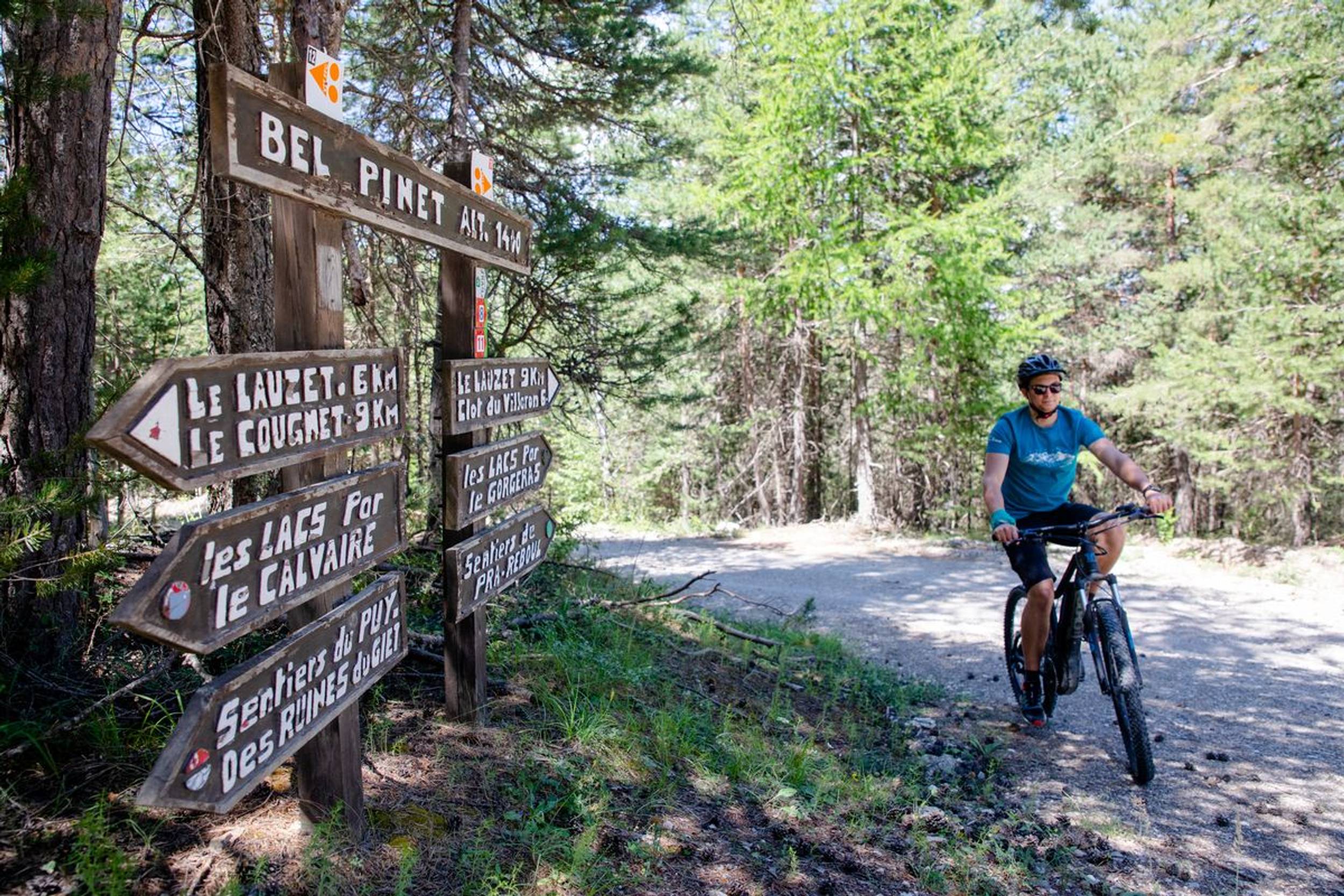
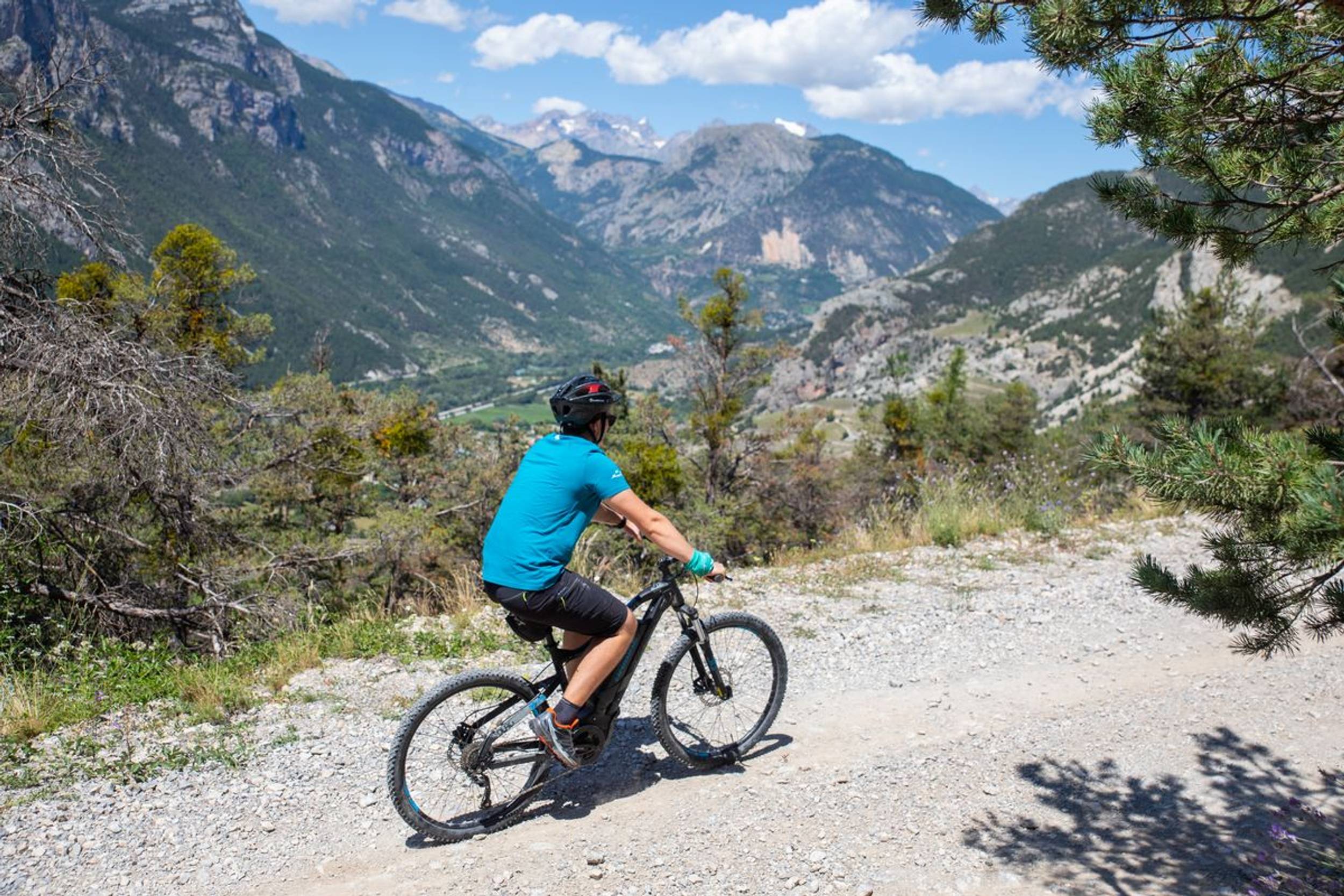
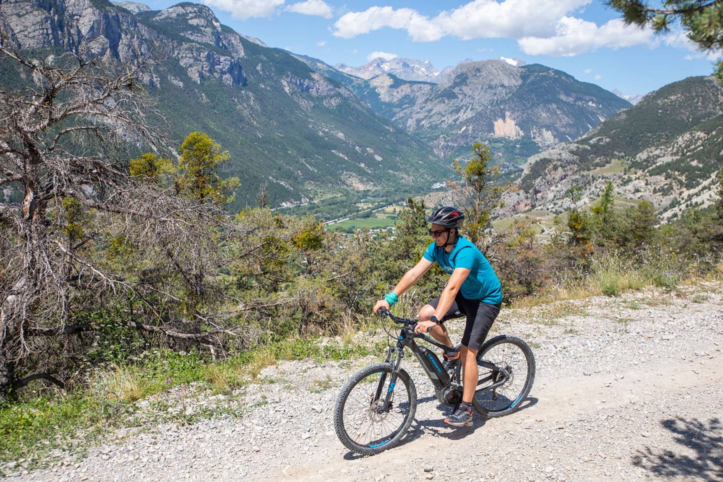
Le Bois du Truc circuit (no. 12)
Mairie Roche de Rame, La Roche-de-Rame
22.95 km
Distance
3:00h-4:00h
Duration
1015 m
Positive elevation
1011 m
Negative elevation
1826 m
Max. altitude
Very hard
Difficulty
Opened
Routes
Very low slope <5% %
Low slope <7% %
Moderate slope <10% %
Steep slope <15% %
Very steep slope >15% %
Description
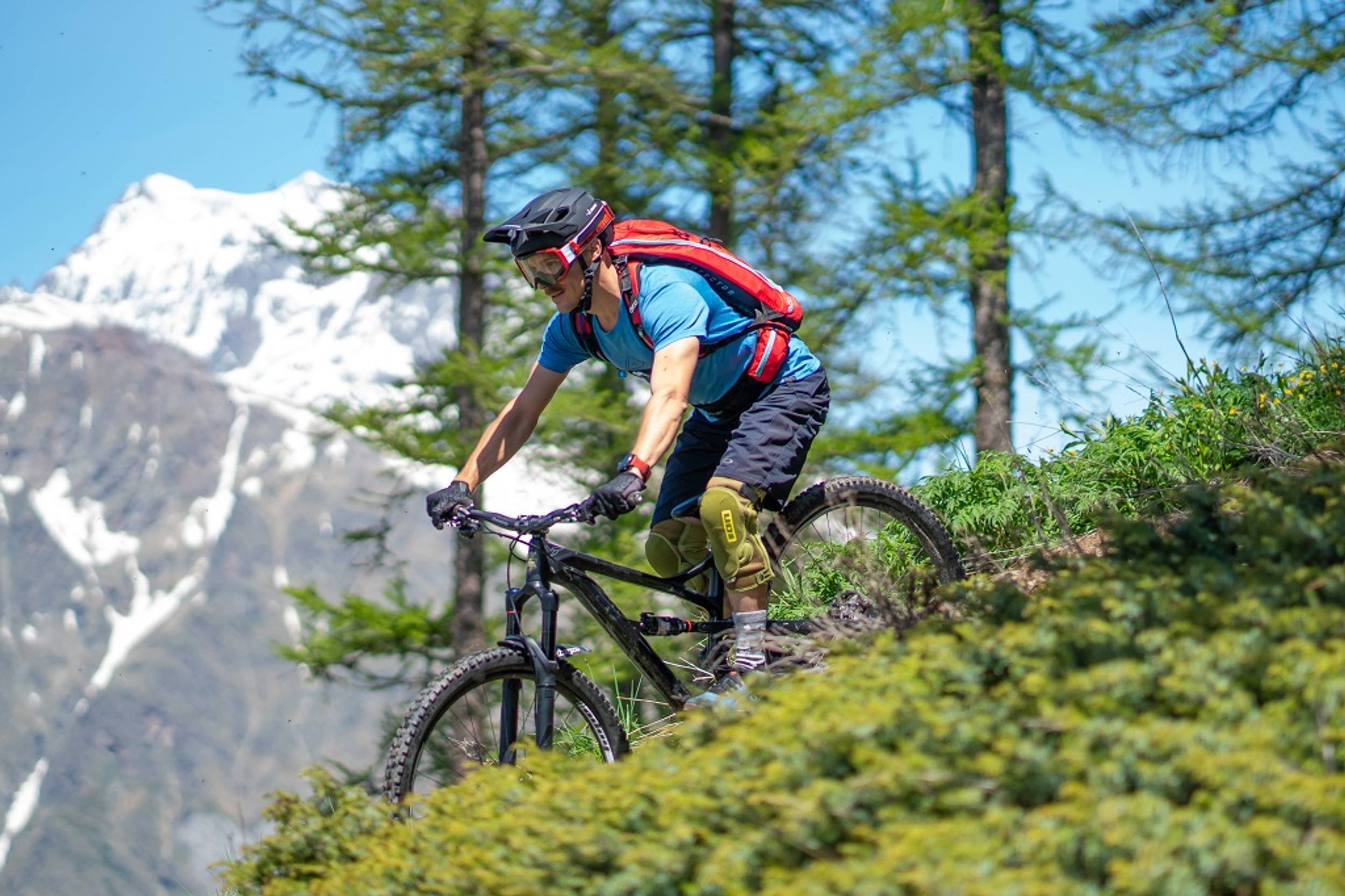
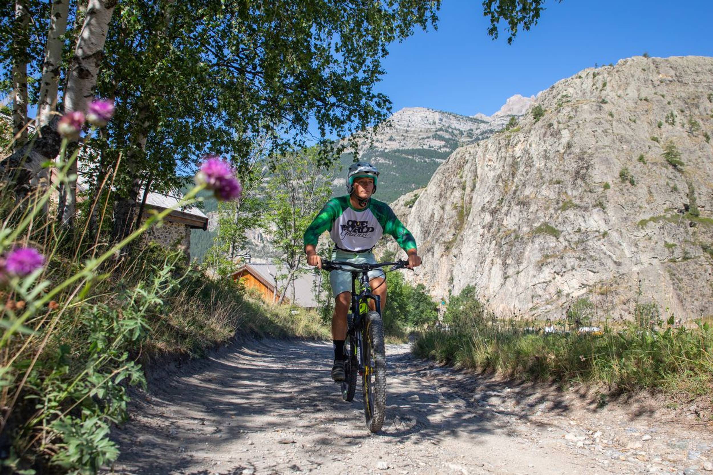
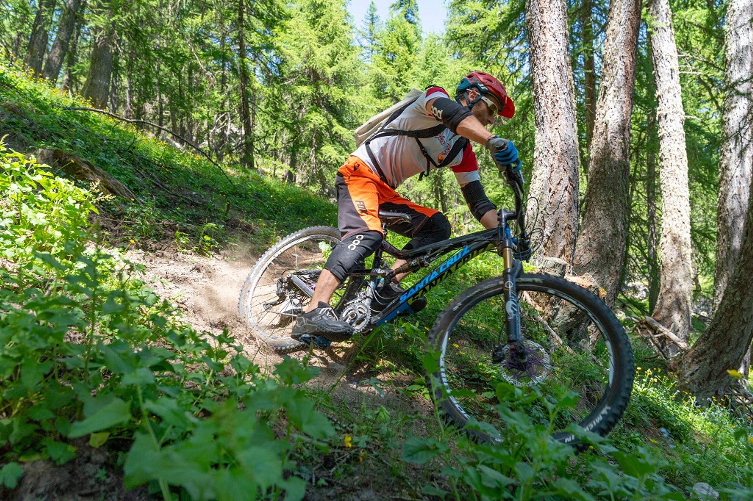
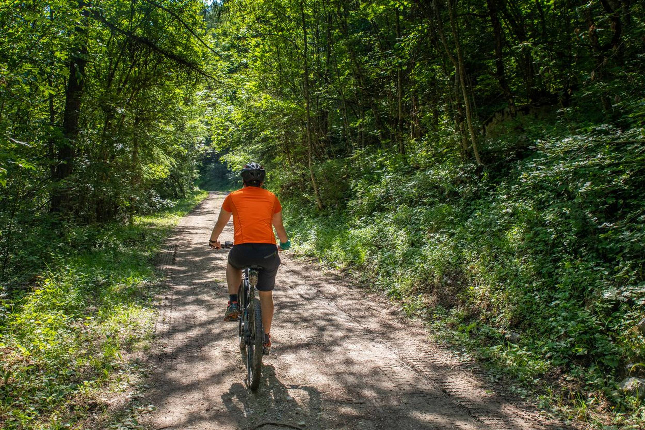
A pleasant route along a stony uphill track and a relatively technical downhill path.
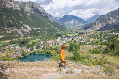
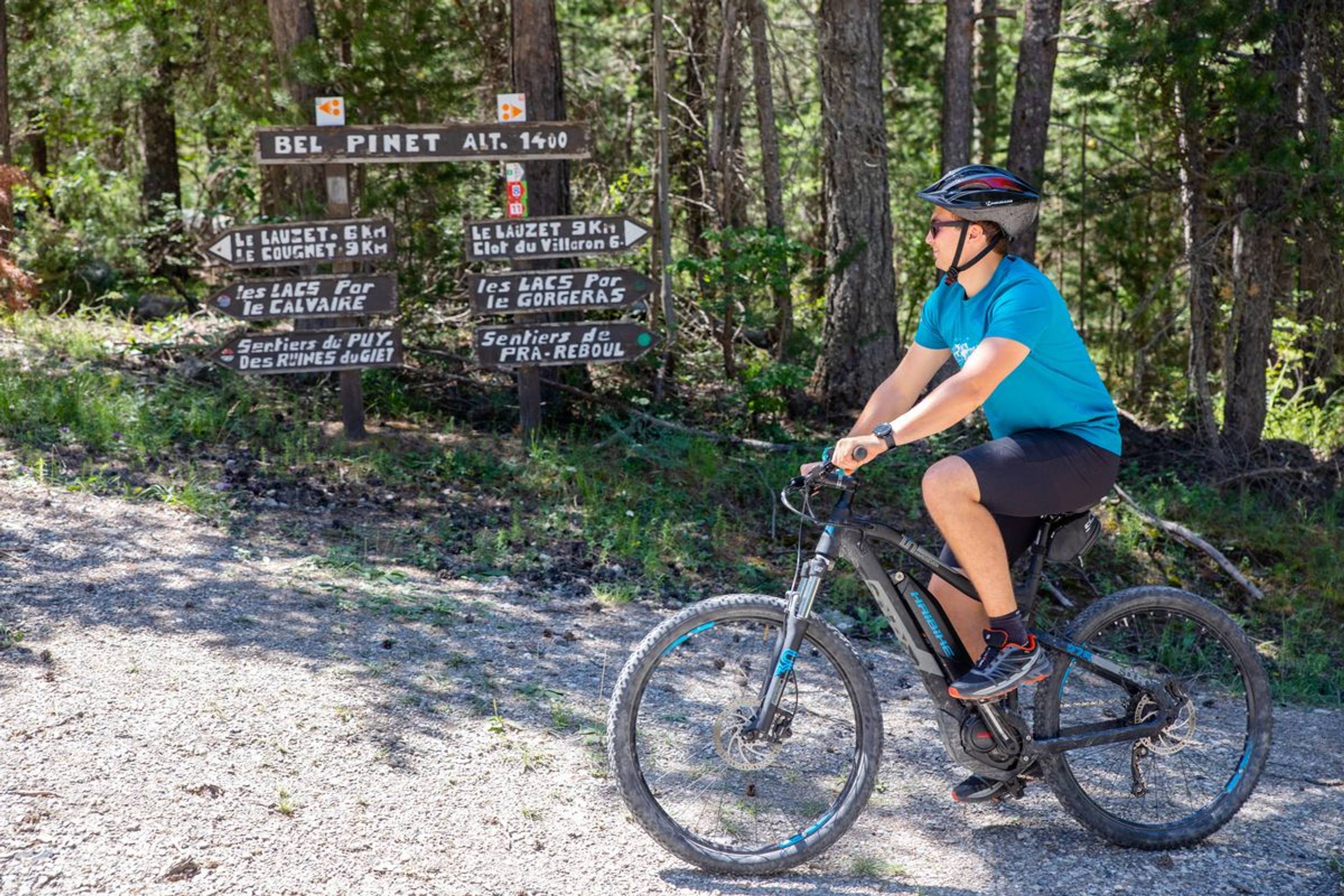
Circuit running above La Roche-de-Rame, along almost its entire length offering a panoramic view over the Durance valley and the municipality. As you ascend, Mont Pelvoux comes into view in the distance. The ascent is relatively straightforward along a wide track, although the descent is much more technical with a number of narrow single-tracks.
Source APIDAE
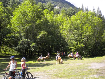
Photos
Shops, Services and Heritage Sites


You will also like

Explore the best spots!
We have picked out for you the best destinations and routes, marked out by local experts and respectful of the environments in which they take place. Routes, accommodation, courses, races, equipment, find all the good addresses and recommendations of the On Piste team to organise your next walking, cycling or skiing session. Let us guide you and don't miss any point of interest.
© 2022 On Piste
v. 1.45.0
English
Français
Spanish
Italian
Catalan