Sign up for the newsletter
Explore Trail running
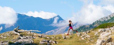
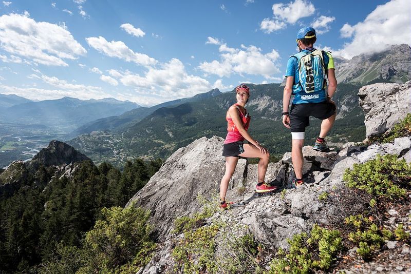
Rortie Bleue - Freissinières
Routes
Description
BLUE course starting from Freissinières, in front of the town hall.
Share your photos on social networks with #stationdetrailecrins
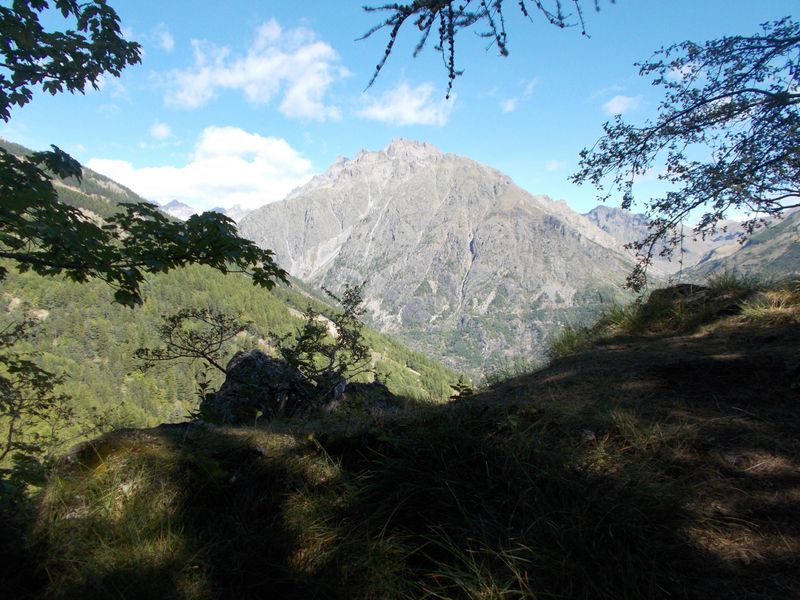
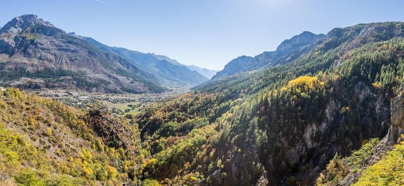
The Crête de la Rortie offers an exceptional panorama of the Goureng Massif on one side and the Haut Val Durance on the other. In the morning, in the coolness, there is really something to enjoy: a mix of mineral, vertical and shady clearings all over the upper part. Speaking of enjoying yourself... perhaps you'll come across berries and wild strawberries on the Clot du Puy!
WATCH OUT FOR THE VERTIGINOUS PASSAGES!
It is essential to respect the work of the farmers, operators and owners who welcome us on their land.
So that the herds do not escape, close all the fences tightly.
Bring back all your garbage,
Don't cut routes through the meadows.
Download this route before you leave and let the Trail Running Resorts app guide you on all the routes.
Photos
Shops, Services and Heritage Sites


You will also like