 Downhill bike
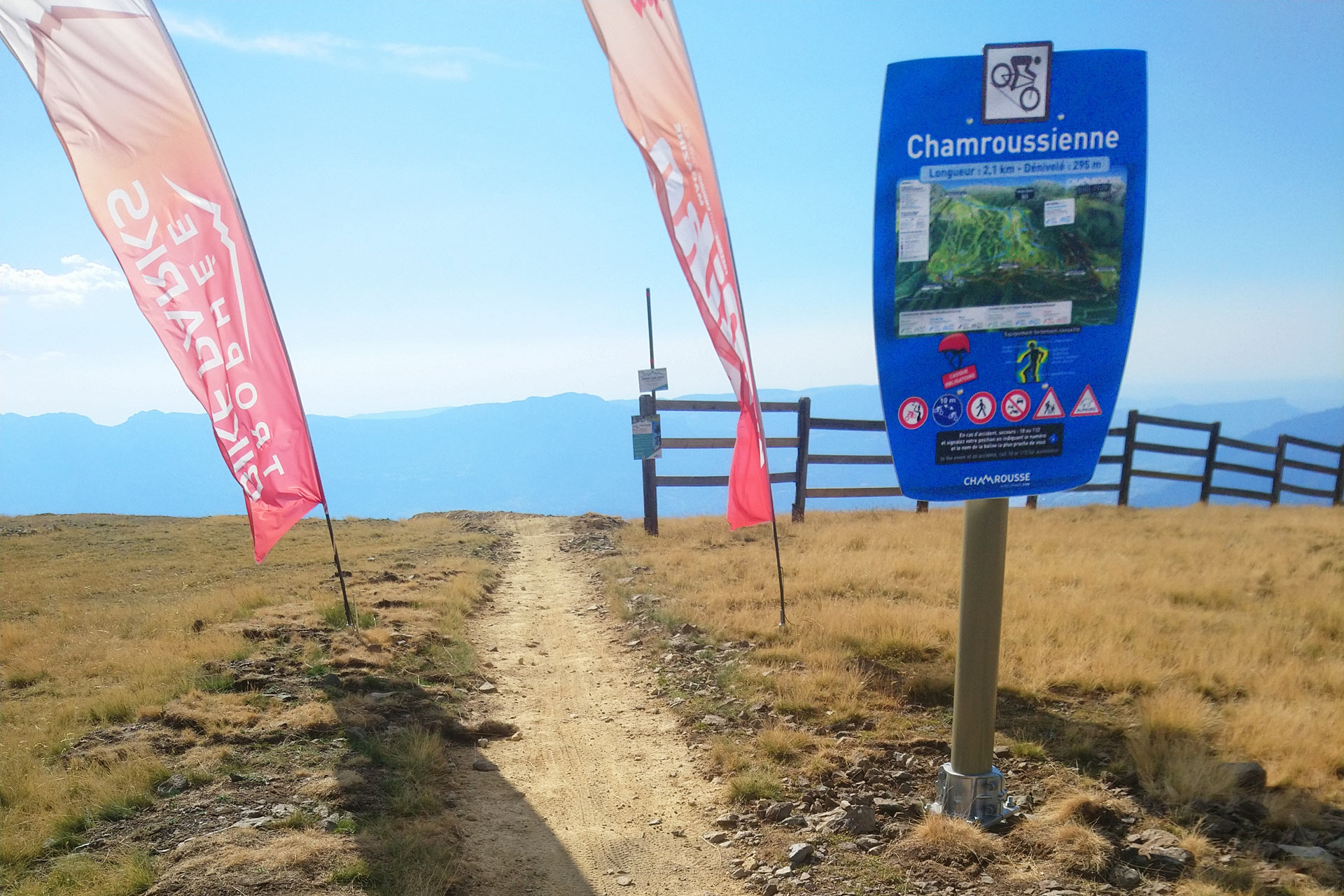
MTB track - la Chamroussienne
Routes
Very low slope <5% %
Low slope <7% %
Moderate slope <10% %
Steep slope <15% %
Very steep slope >15% %
Description
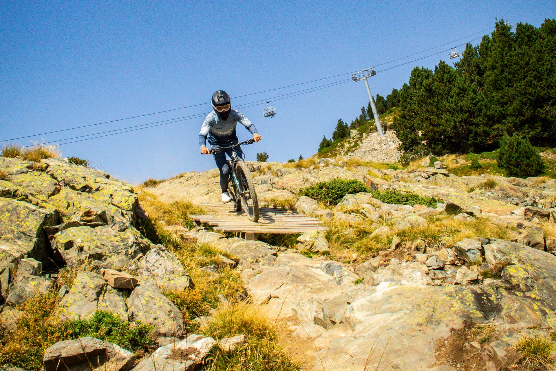
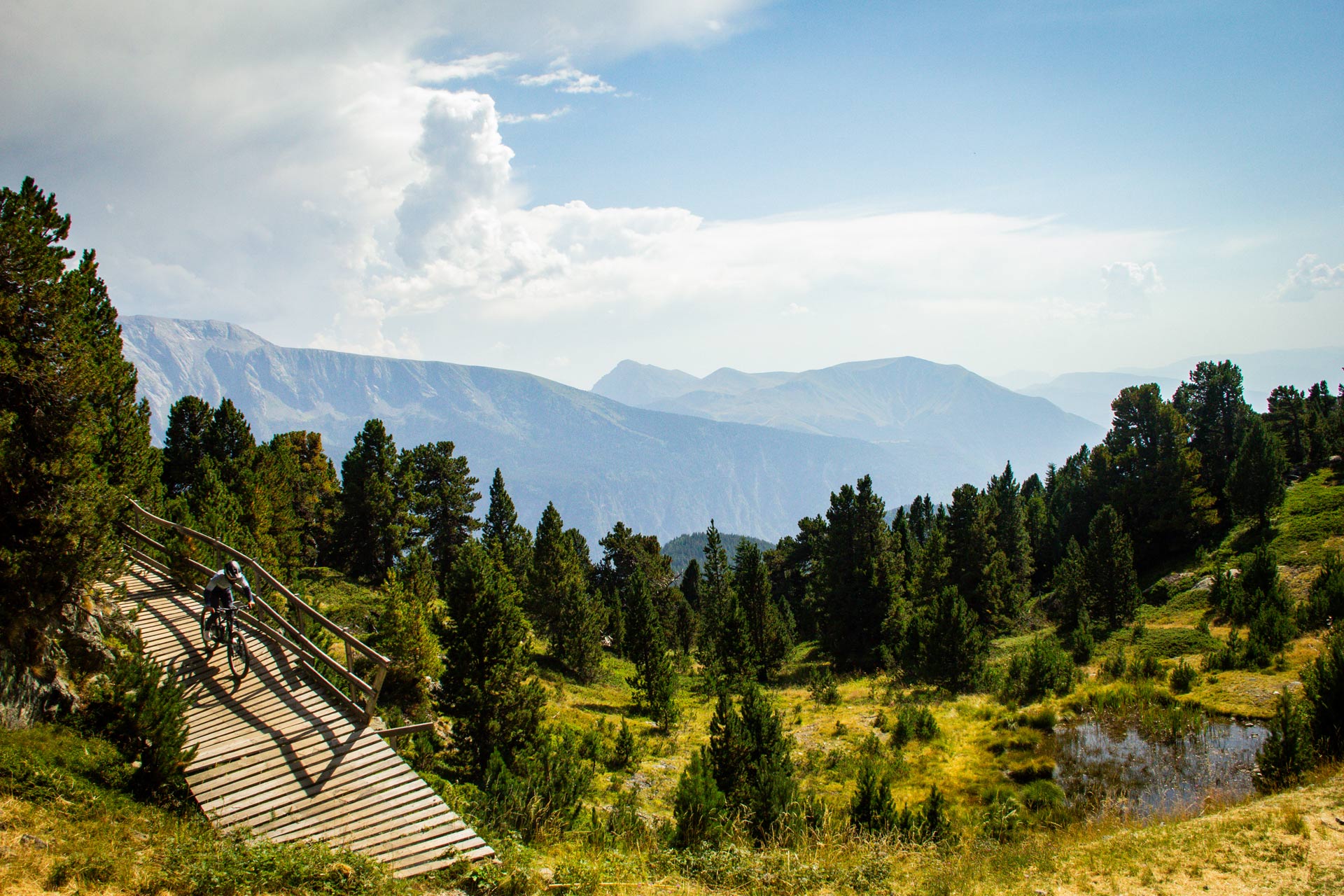
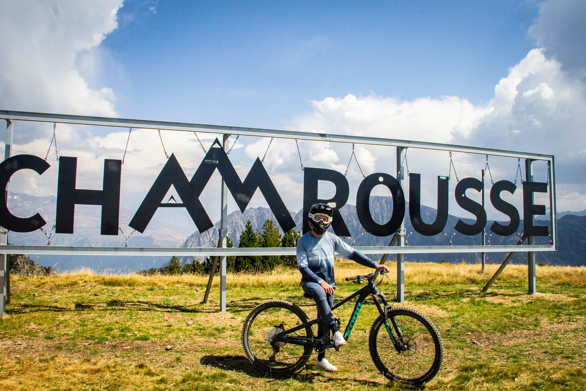
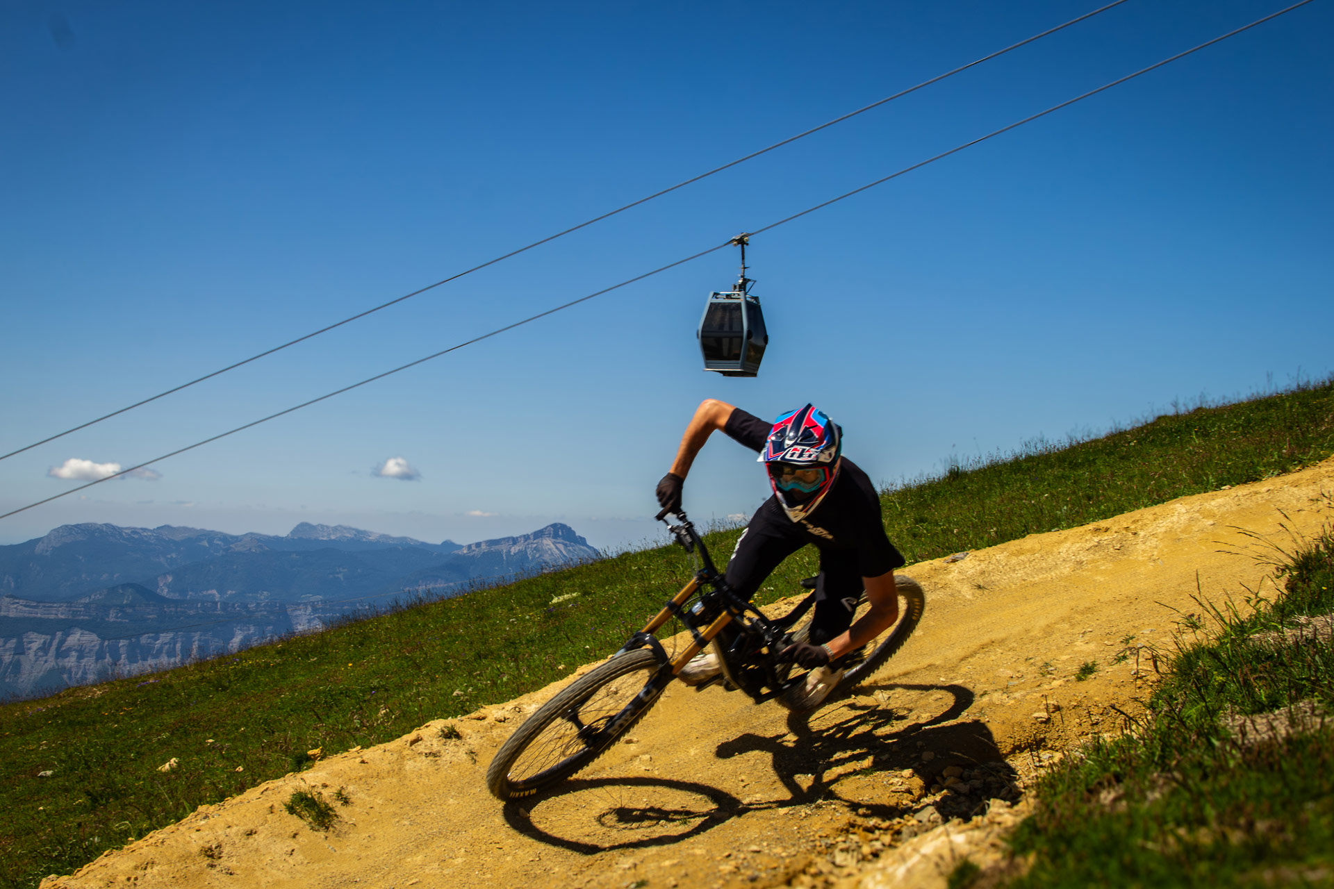
Mountain bike track level intermediate (blue level) in Chamrousse 1650 - Recoin.
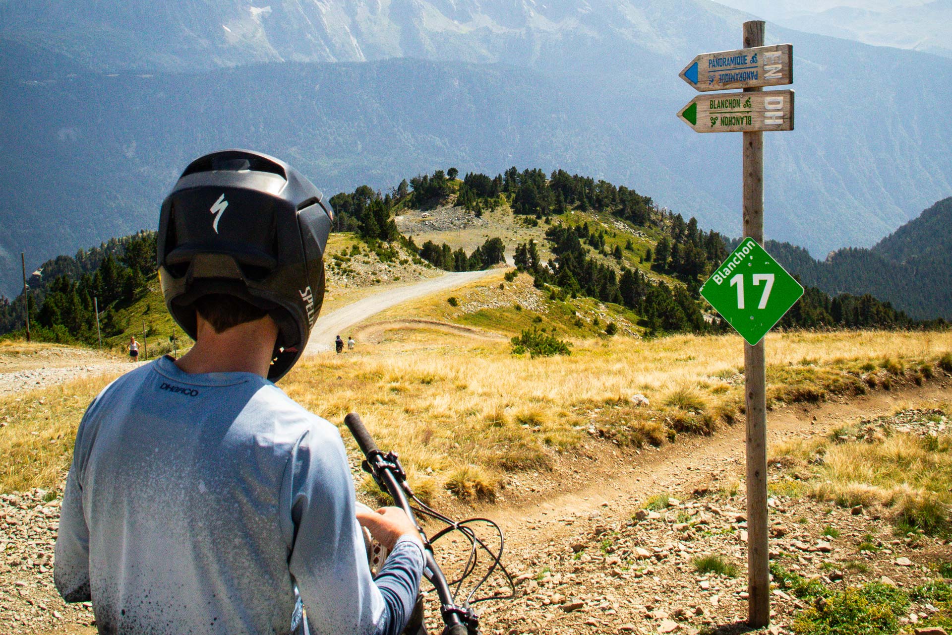
Departure: at the top of the Croix gondola (2250m)
Arrival: Chamrousse 1650 - Recoin
Duration: 15 minutes
This is Chamrousse's emblematic mountain bike trail: a blue trail that covers all the resort's negative gradient.
Part of the trail is also used for the "Chamrousse Downhill challenge" on the Strava mobile app!
Downhill machines and scooters are allowed on the blue (and green) runs, where you don't need to take your wheels off the ground.
Photos
Shops, Services and Heritage Sites


You will also like