
/
 Hiking
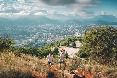
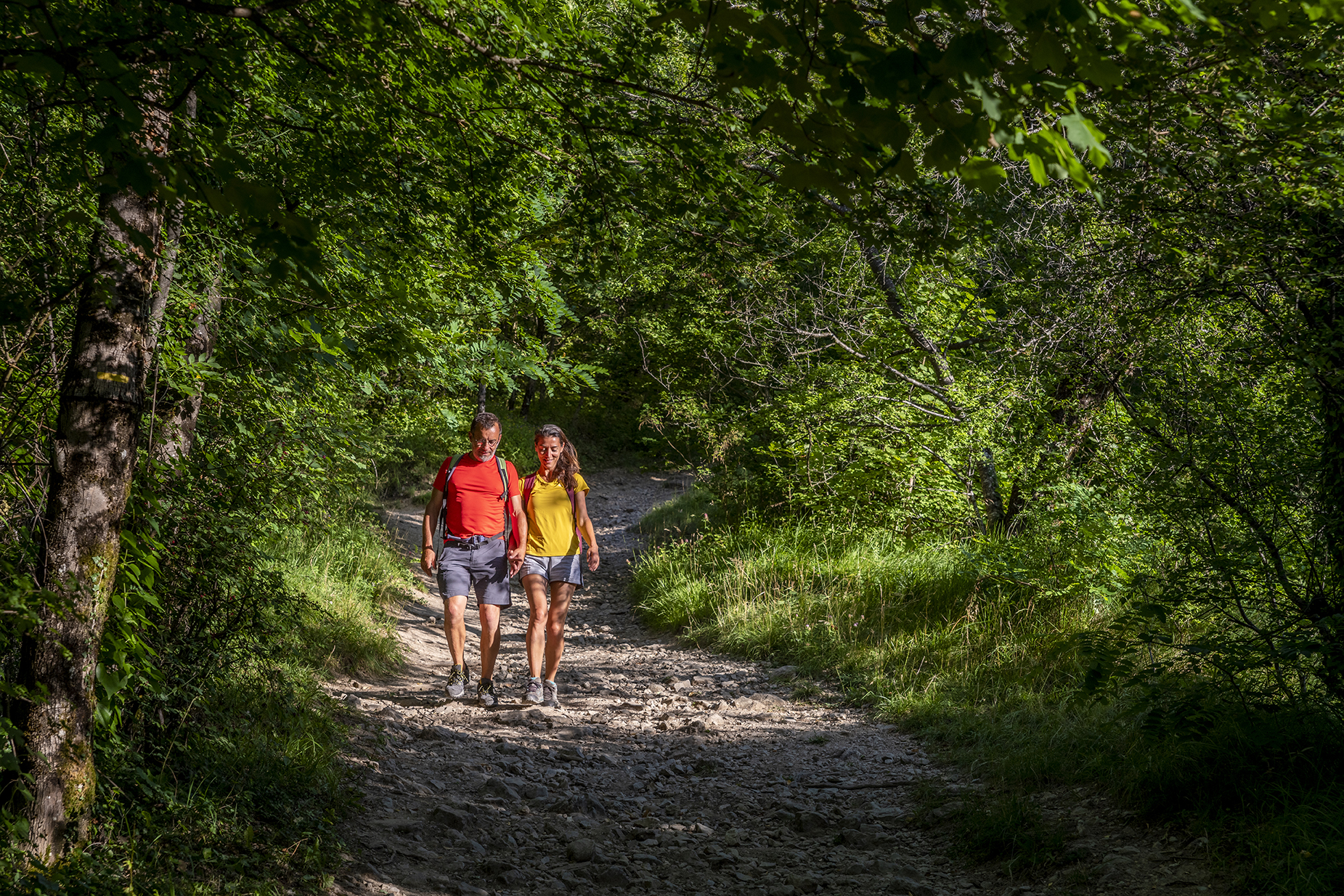
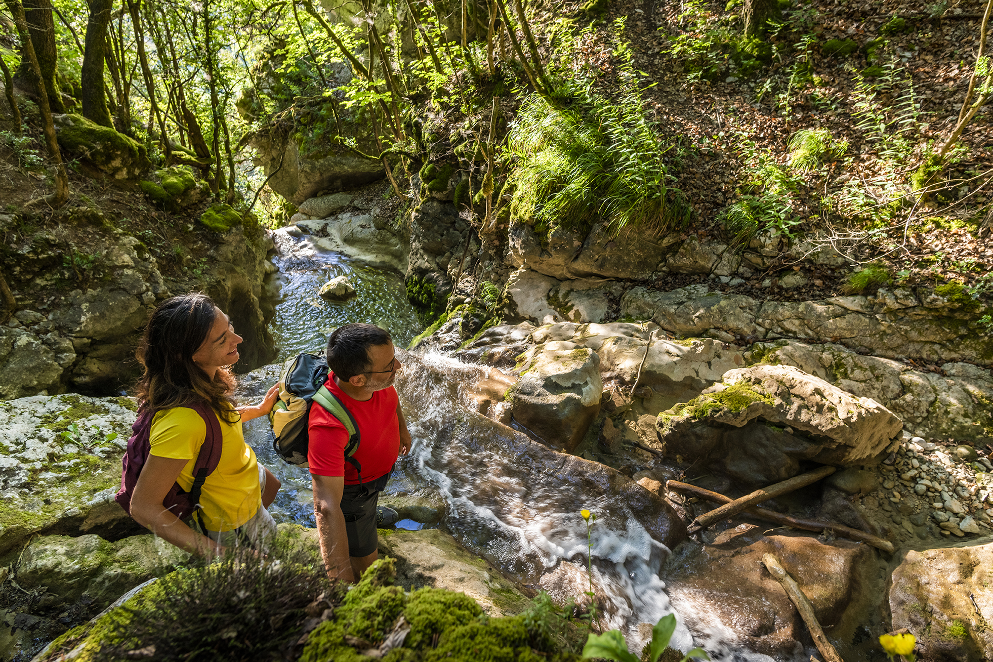
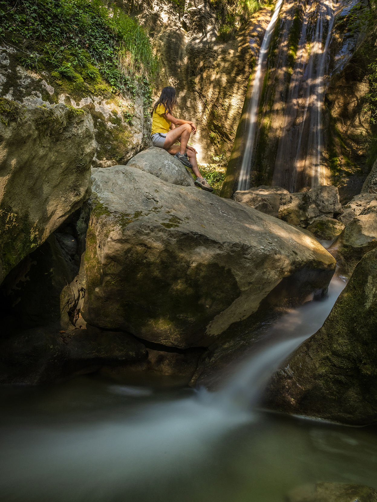
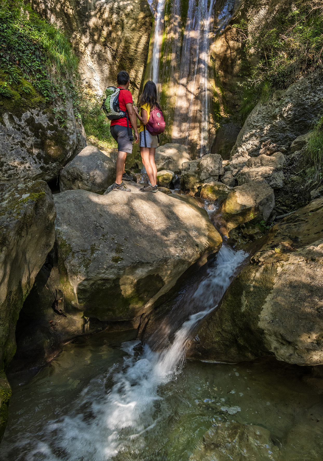
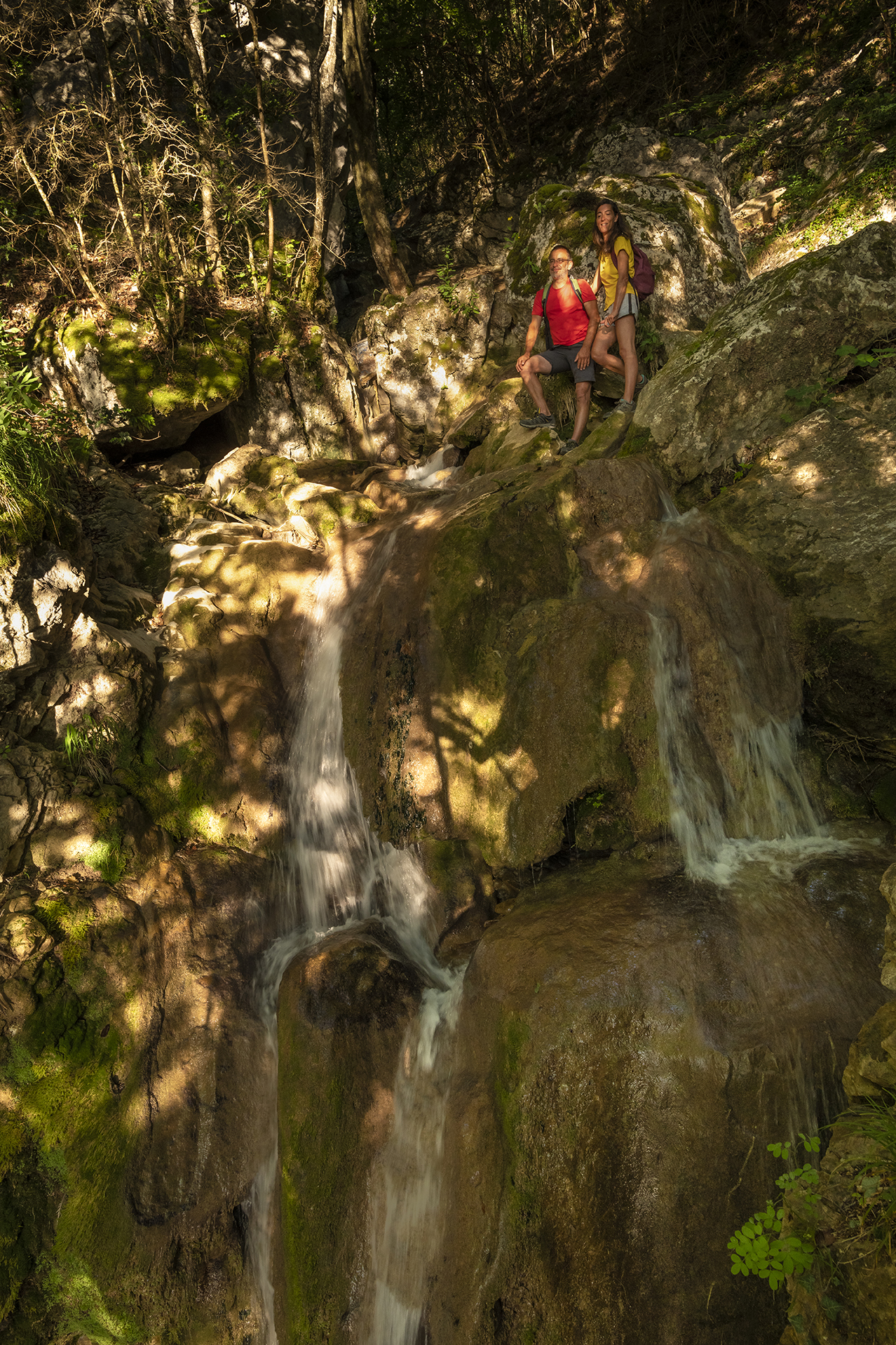
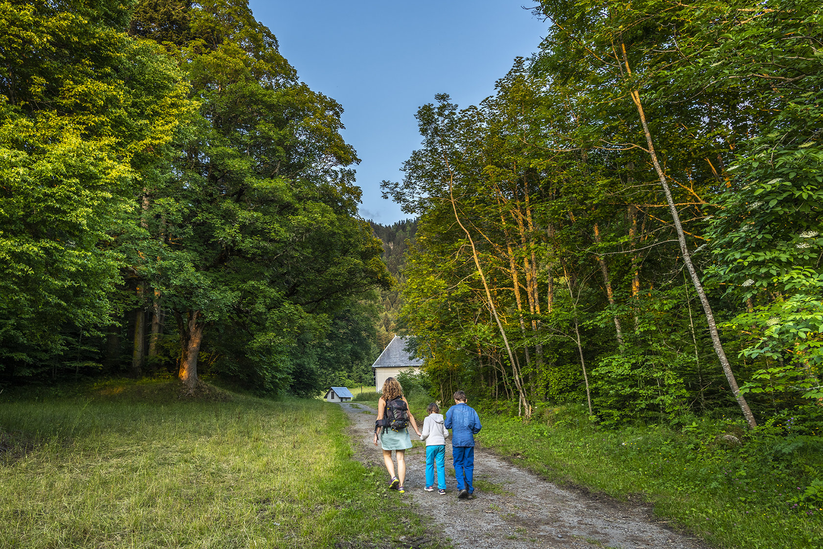
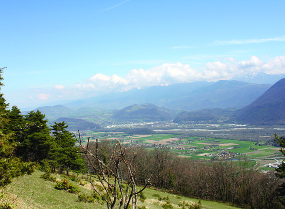
The stream of Pissarde
Chemin de Jayères, Claix
10.06 km
Distance
782 m
Positive elevation
760 m
Negative elevation
1150 m
Max. altitude
Hard
Difficulty
Opened
Routes
Very low slope <5% %
Low slope <7% %
Moderate slope <10% %
Steep slope <15% %
Very steep slope >15% %
Description
In Claix, at the foot of the Vercors, flows the stream of the Pissarde with its Cascade d'Allières. In summer, you can find a little coolness here. It is however advisable to be careful at the level of the cascades not to approach too close to the verticals.
Source APIDAE
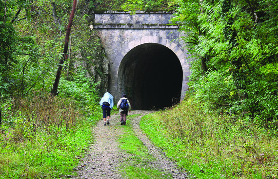
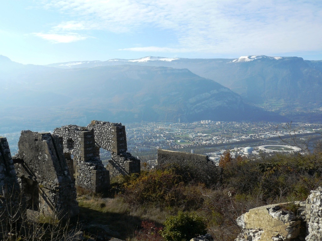
Photos
Shops, Services and Heritage Sites


You will also like
Explore the best spots!
We have picked out for you the best destinations and routes, marked out by local experts and respectful of the environments in which they take place. Routes, accommodation, courses, races, equipment, find all the good addresses and recommendations of the On Piste team to organise your next walking, cycling or skiing session. Let us guide you and don't miss any point of interest.
© 2022 On Piste
v. 1.43.5
English
Français
Spanish
Italian
Catalan