Sign up for the newsletter
Explore VK
VKKMV Donejakue
Routes
Very low slope <5% %
Low slope <7% %
Moderate slope <10% %
Steep slope <15% %
Very steep slope >15% %
Description
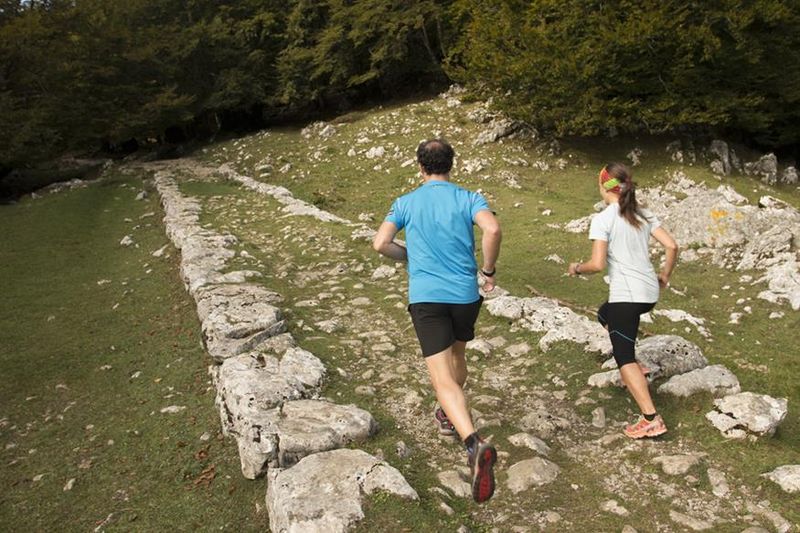
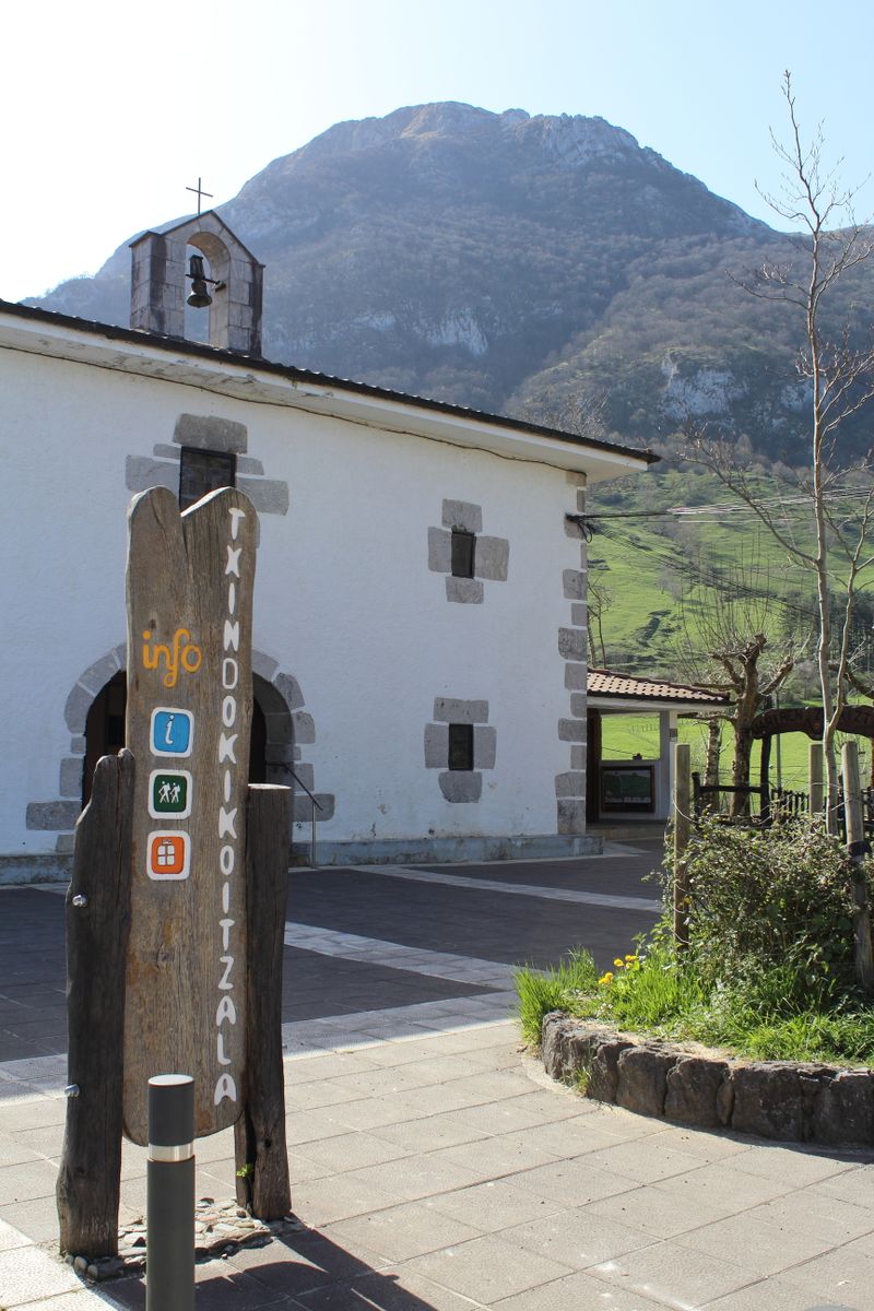
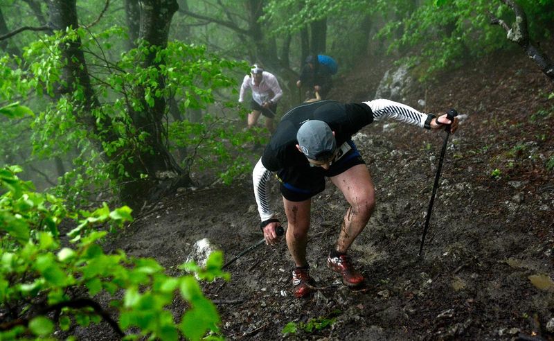
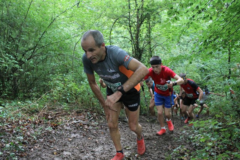
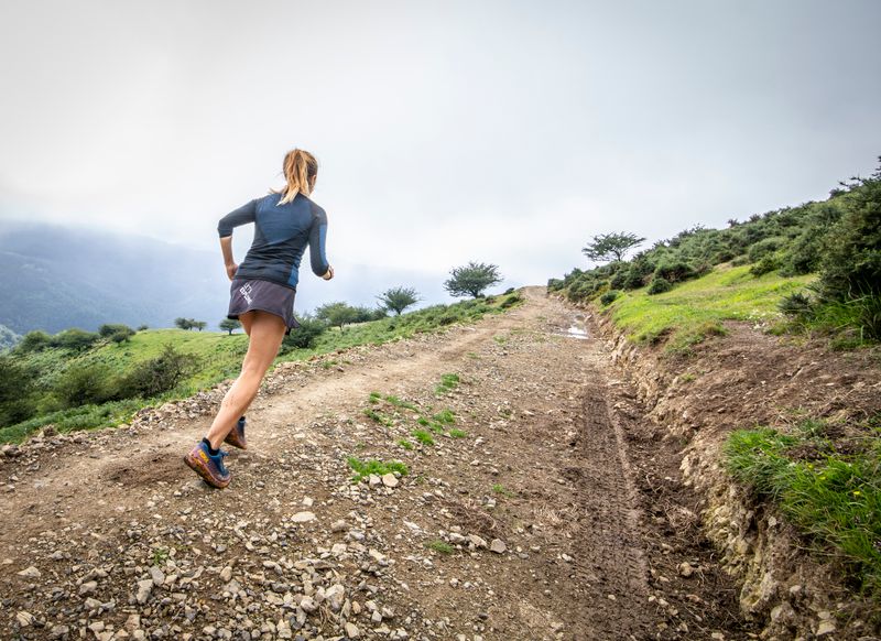
The vertical kilometre of Donejakue (or Way of St. James) begins in the Place de Zegama. Head towards the exit of the village in the direction of Otzaurte and after leaving Zegama, leave a car wash on the left. This is where the first signs for the Way of St. James can be found. From this point, you pass through valleys dotted with manor houses that rise up by tarmac and concrete paths (you have to cross the road that leads to the heights of Otzaurte). When you get to the Buenavista manor house, turn left to return to the mountain paths and tracks. To get to the end of the path, follow the signs to the Trail station and the signs for the Way of St. James, the wooden posts marked with the painted yellow arrow. The route ends after passing the San Adrián or Leizarrate tunnel. However, for your safety it is imperative to have a GPS. Climatology can change very quickly and can cause fog banks that could lead you astray. On snowy or bad weather days, some of the signs will not be visible.
The definition of the Vertical Kilometre: 1,000 metres of gradient over the shortest possible distance
Through our practice, it is essential to respect the work of the farmers, other operators and owners who welcome us on their land :
So that the herds don't escape, close all the electric fences well and don't damage them!
Also, do not disturb the herds, greet the people you meet with a friendly "hello", and of course bring back all your rubbish! Do not cut routes through the meadows, do not picnic either!
Photos
