
/
 Road bike
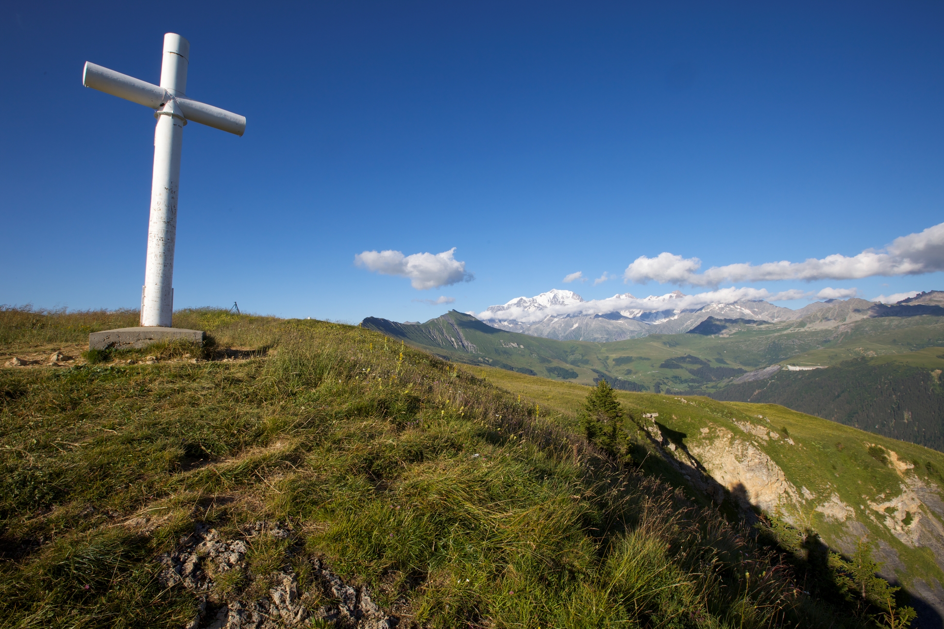
Beaufortain Grand Tour
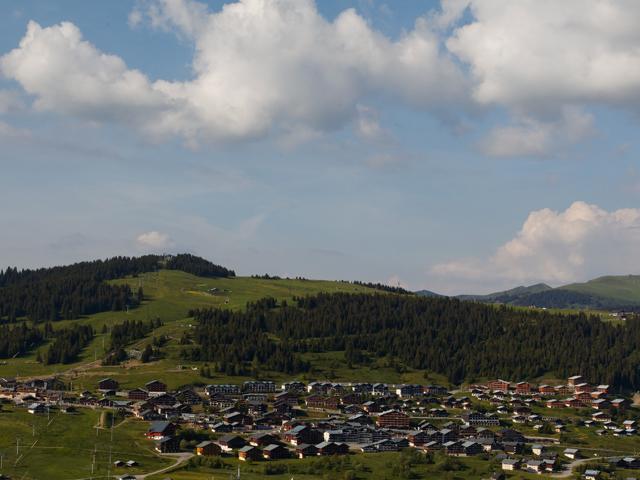
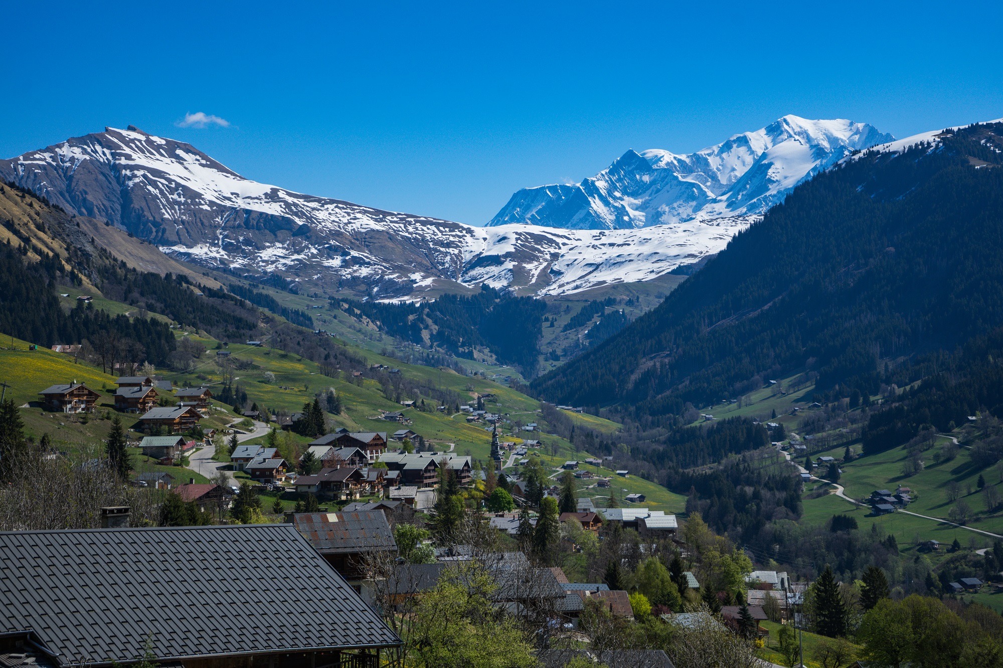
Le Signal, Hauteluce
107.89 km
Distance
3468 m
Positive elevation
3470 m
Negative elevation
1734 m
Max. altitude
Very hard
Difficulty
Routes
Very low slope <5% %
Low slope <7% %
Moderate slope <10% %
Steep slope <15% %
Very steep slope >15% %
Description
VERY DIFFICULT LEVEL - DISTANCE: 108 km - EVALUATION: 3474 m
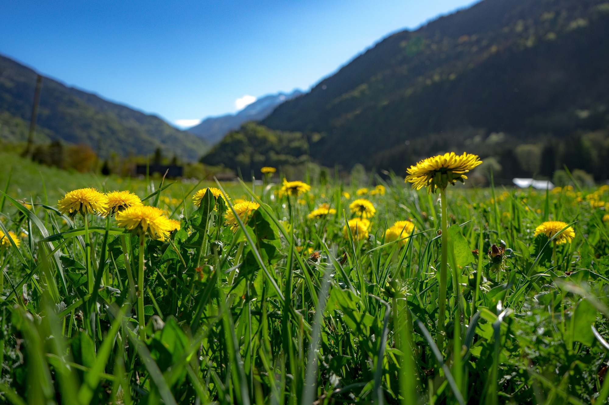
From Les Saisies, descent to Ugine by the Val d'Arly, ascent of the Cols de la Forclaz, then du Pré. Junction towards Hauteluce by the hamlets and return to Les Saisies by the Montée de Bisanne.
Source APIDAE
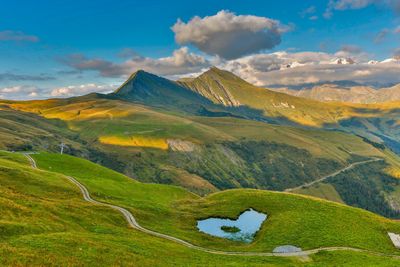
Photos

Shops, Services and Heritage Sites


You will also like

Explore the best spots!
We have picked out for you the best destinations and routes, marked out by local experts and respectful of the environments in which they take place. Routes, accommodation, courses, races, equipment, find all the good addresses and recommendations of the On Piste team to organise your next walking, cycling or skiing session. Let us guide you and don't miss any point of interest.
© 2022 On Piste
v. 1.45.0
English
Français
Spanish
Italian
Catalan