2
Mountain bike Mountain bike
Site VTT-FFC

2 – Des Mollières au Burdet

Cublize
20.11 km Distance
703 m Positive elevation
702 m Negative elevation
751 m Max. altitude
Medium Difficulty
Opened

Routes

Very low slope <5% %

Low slope <7% %

Moderate slope <10% %

Steep slope <15% %

Very steep slope >15% %

Description

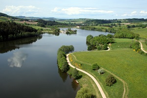
Circuit varié et dynamique. Tout d’abord en lisière de forêt, avec de beaux points de vue, puis descente dans la vallée du Reins. Ensuite, remontée vers la ligne de crête, avec vue sur le Lac des Sapins, avant de descendre sur Cublize. Attention, descente dangereuse km 18.

This route is labeled Site VTT-FFC®. It has been validated and checked by the French Cycling Federation, in conjunction with local authorities and clubs.

On the ground, let yourself be guided on this route using the colored FFC beacons: yellow (the most common), brown (for routes crossing a Regional Natural Park) or red (for the Grandes Traversées VTT® or routes of more than 80 km and the Grand Tours VTT®).

No POI available on this track.
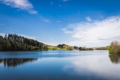
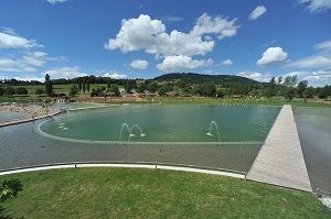
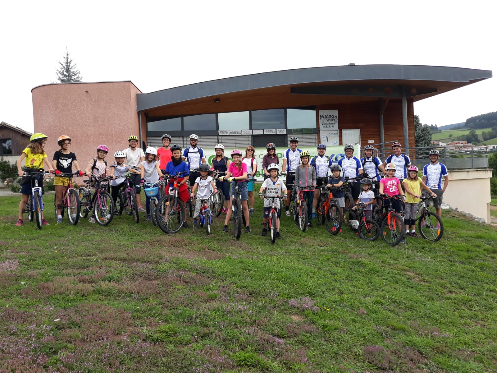
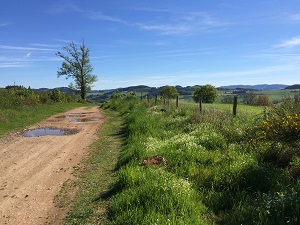
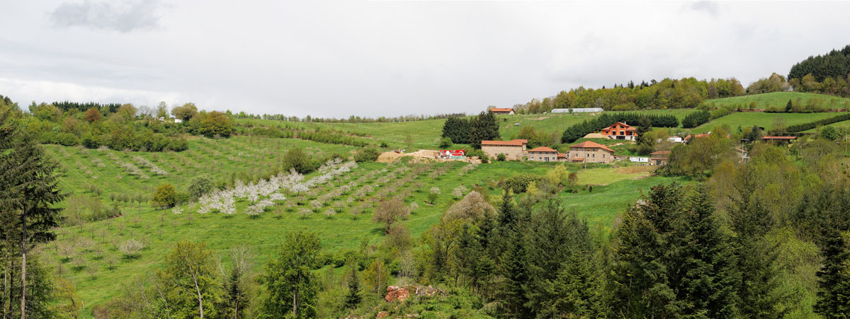
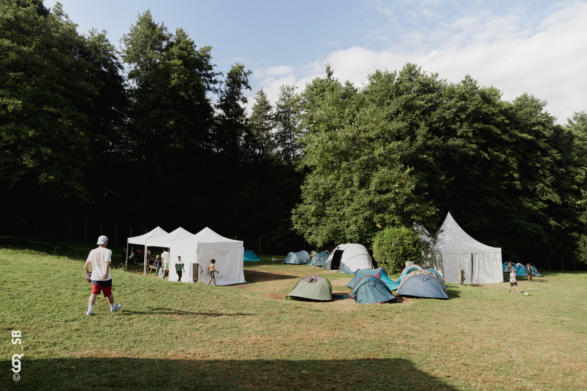
Discover the Destination

See more Destinations

Mountain bike Mountain bike

Share

Photos

photosFeed-https://sitesvtt.ffc.fr/app/uploads/sites/2/formidable/6/La-Baignade-Biologique.jpg
photosFeed-https://sitesvtt.ffc.fr/app/uploads/sites/2/formidable/6/Le-Lac-des-Sapins.jpg
photosFeed-https://sitesvtt.ffc.fr/app/uploads/sites/2/formidable/6/SortieParentsEnfants_LaChamoise2019.jpg
photosFeed-https://sitesvtt.ffc.fr/app/uploads/sites/2/formidable/6/Tour-de-Pays.jpg
photosFeed-/img/sites-ffc.jpg
On Piste logo
Download from Apple Store Download from Google Store

Explore the best spots!

We have picked out for you the best destinations and routes, marked out by local experts and respectful of the environments in which they take place. Routes, accommodation, courses, races, equipment, find all the good addresses and recommendations of the On Piste team to organise your next walking, cycling or skiing session. Let us guide you and don't miss any point of interest.
© 2022 On Piste
v. 1.41.1