 Cross-Country bike
Cross country MTB - Le Plan Mermin
Routes
Very low slope <5% %
Low slope <7% %
Moderate slope <10% %
Steep slope <15% %
Very steep slope >15% %
Description
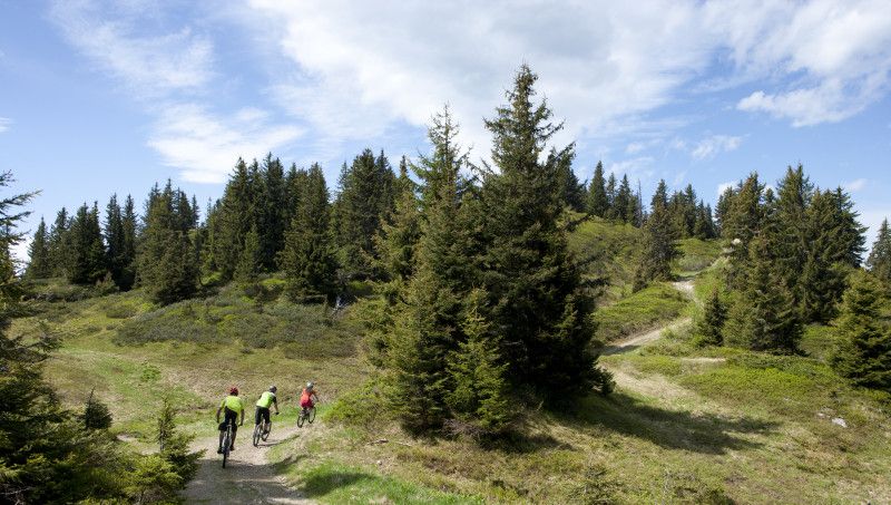
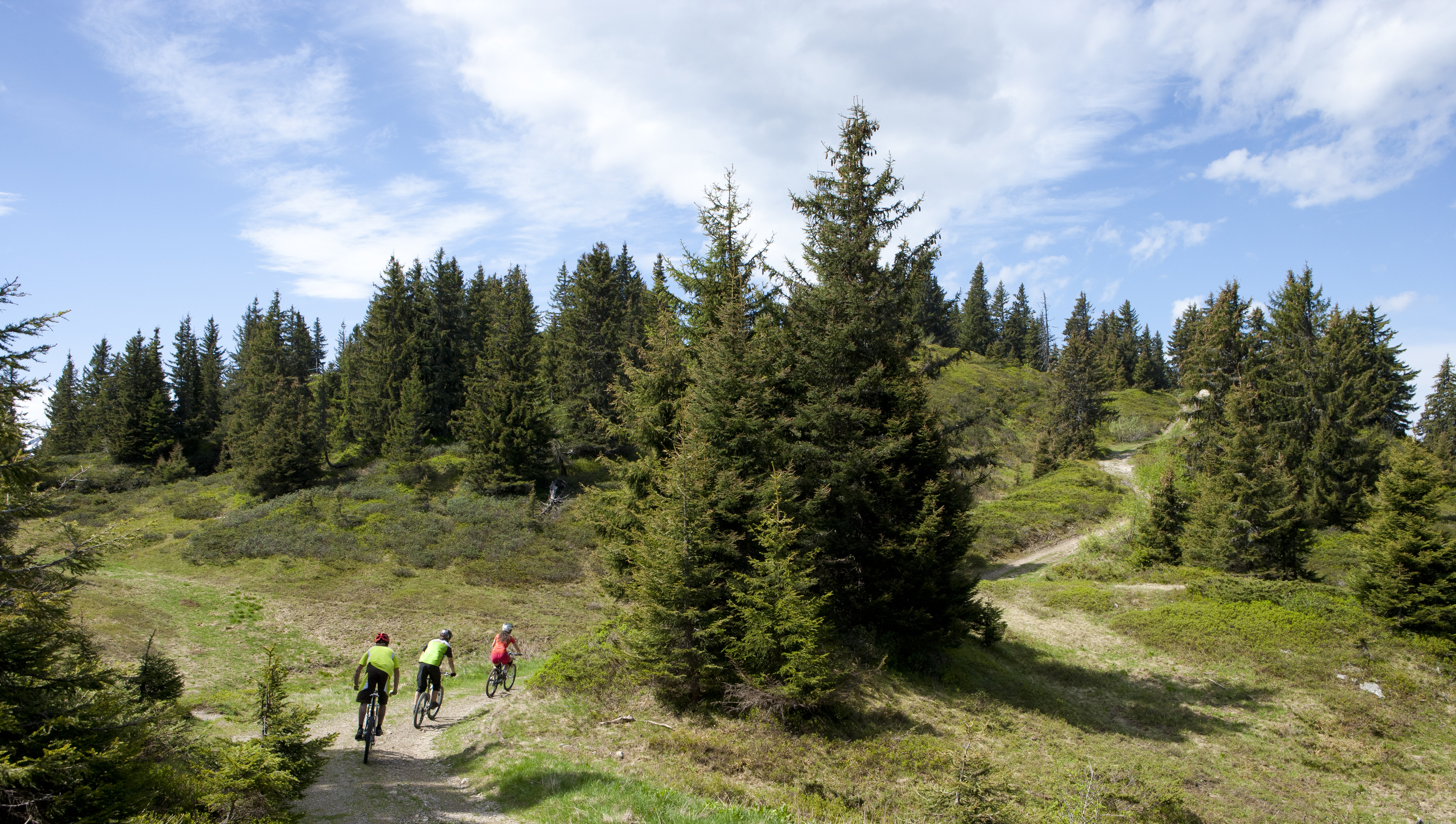
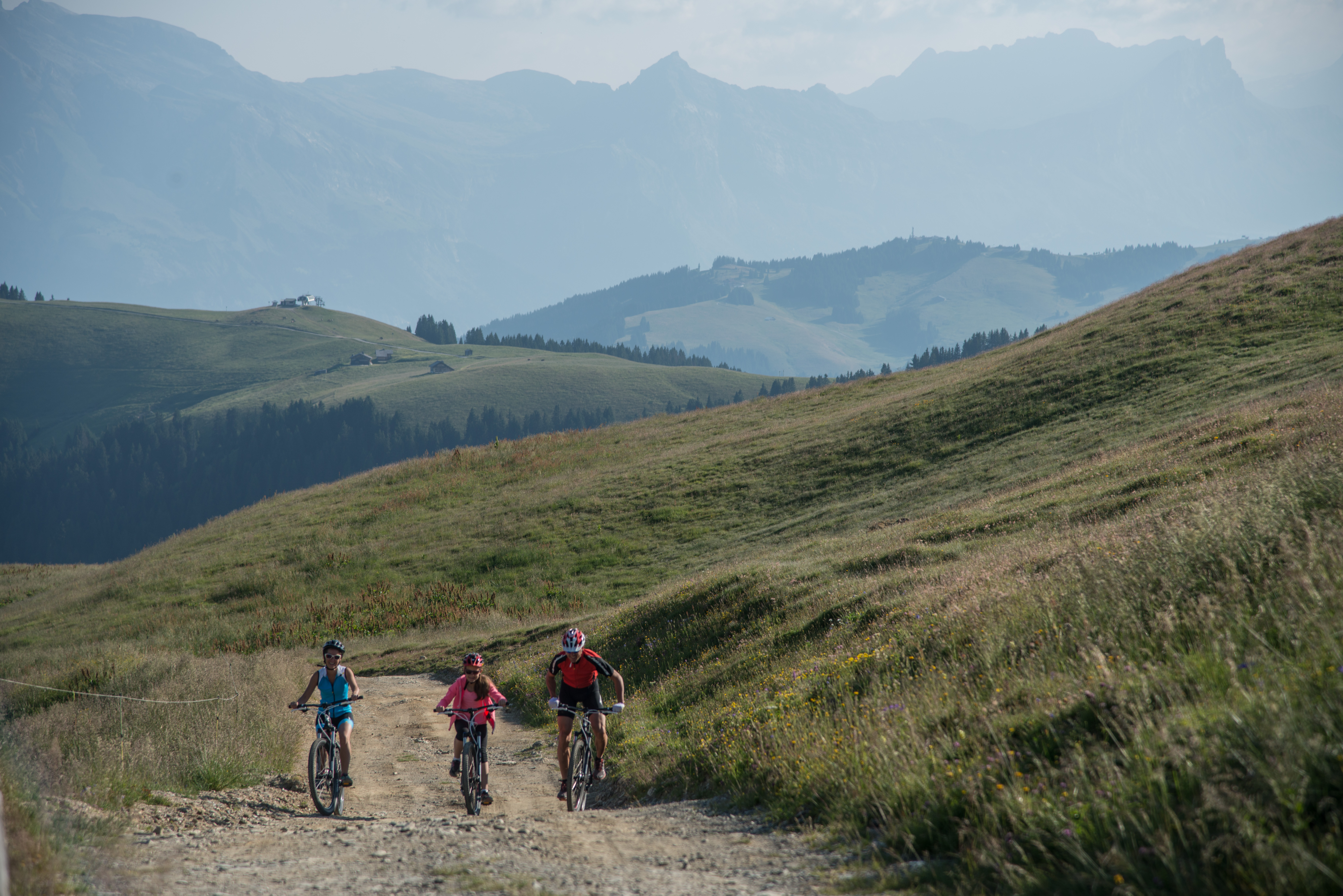
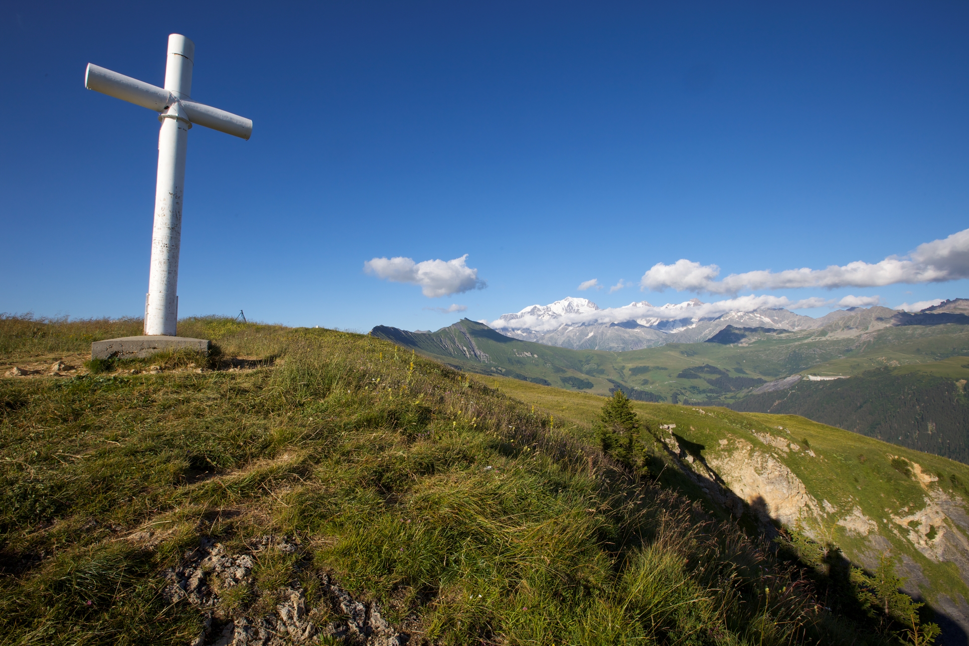
Large physical loop but with few technical difficulties. After a first short climb to the Col de la Lézette, climb via the pastoral path of the Crests, with magnificent views over the Savoy Mont Blanc massifs to Plan Mermin.
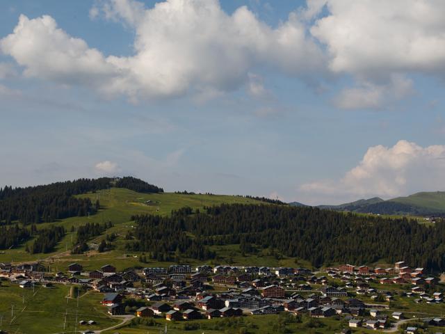
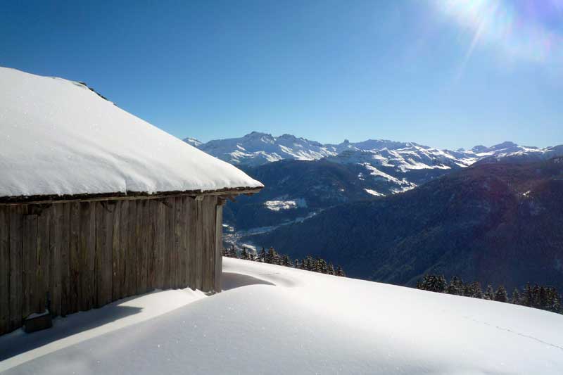
Long descent on an alpine track to Annuit then on the road to reach the village of Hauteluce. Stop to appreciate the historical heritage of the village and its hamlets. You will move completely in a pasture, stay on the path, and respect the work of the mountaineers.
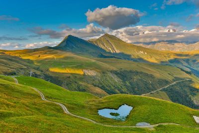
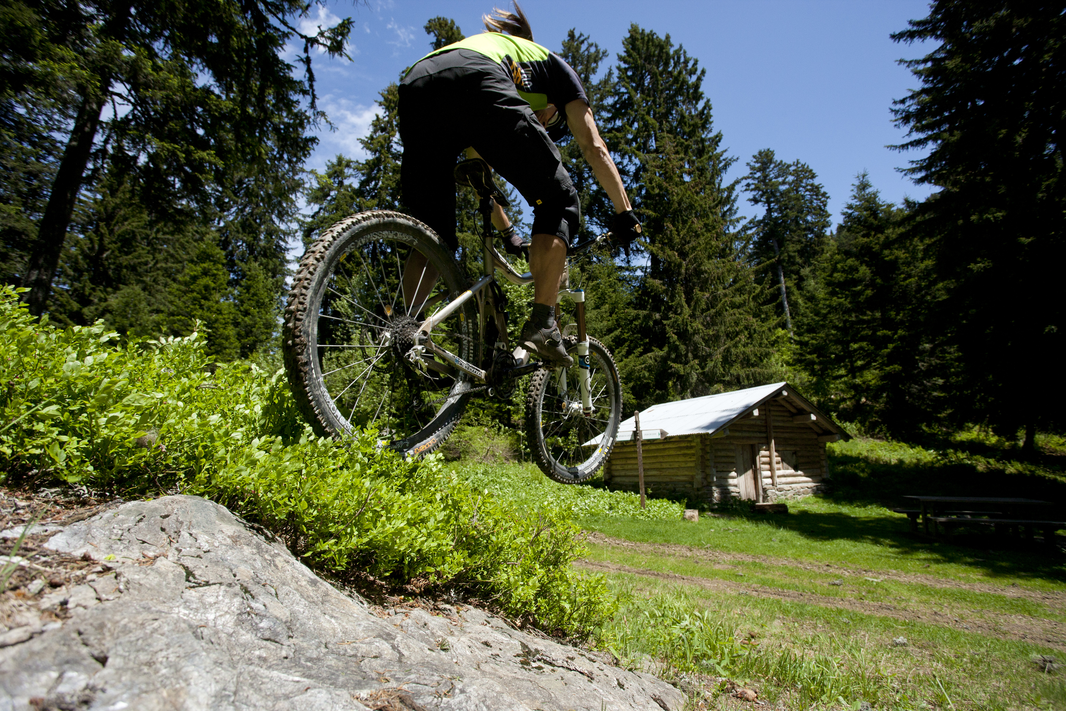
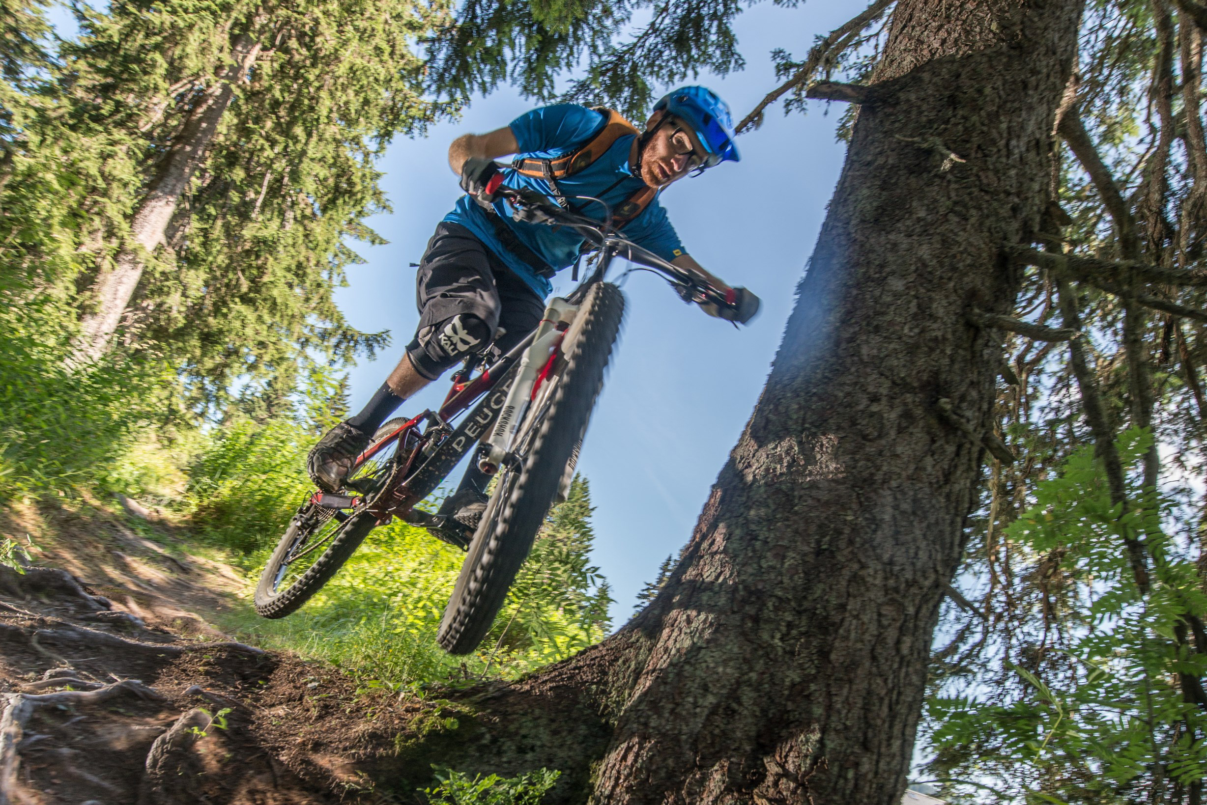
Photos
Shops, Services and Heritage Sites


You will also like