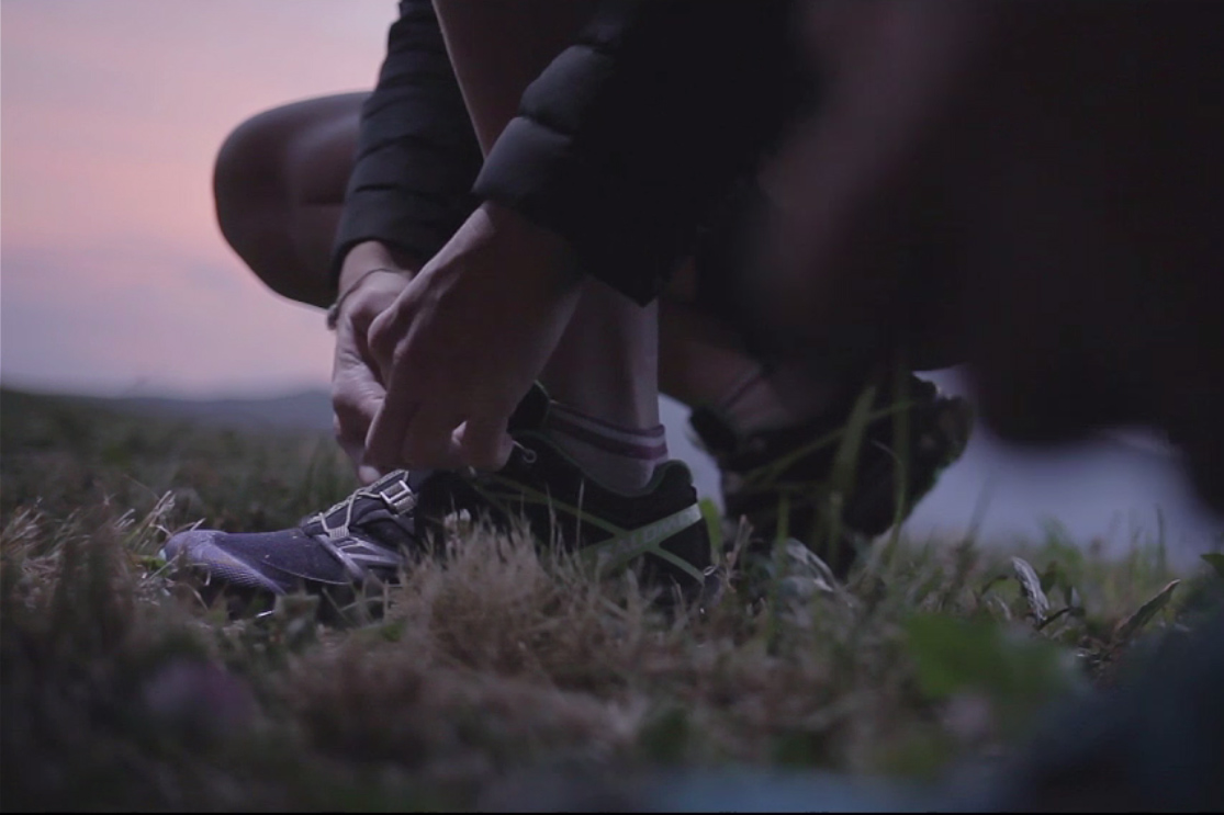
24
Trail running Trail running

Le Signal, Hauteluce
46.42 km Distance
2094 m Positive elevation
2094 m Negative elevation
2363 m Max. altitude
Very hard Difficulty
Closed

Routes

Description

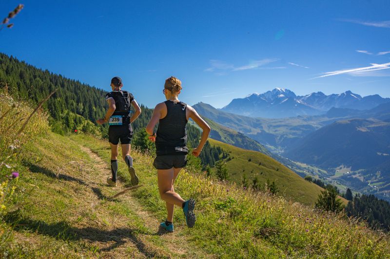
Very physical course reserved for experienced runners looking to train for competition. It is the very authentic spirit of the trail that characterizes this loop.


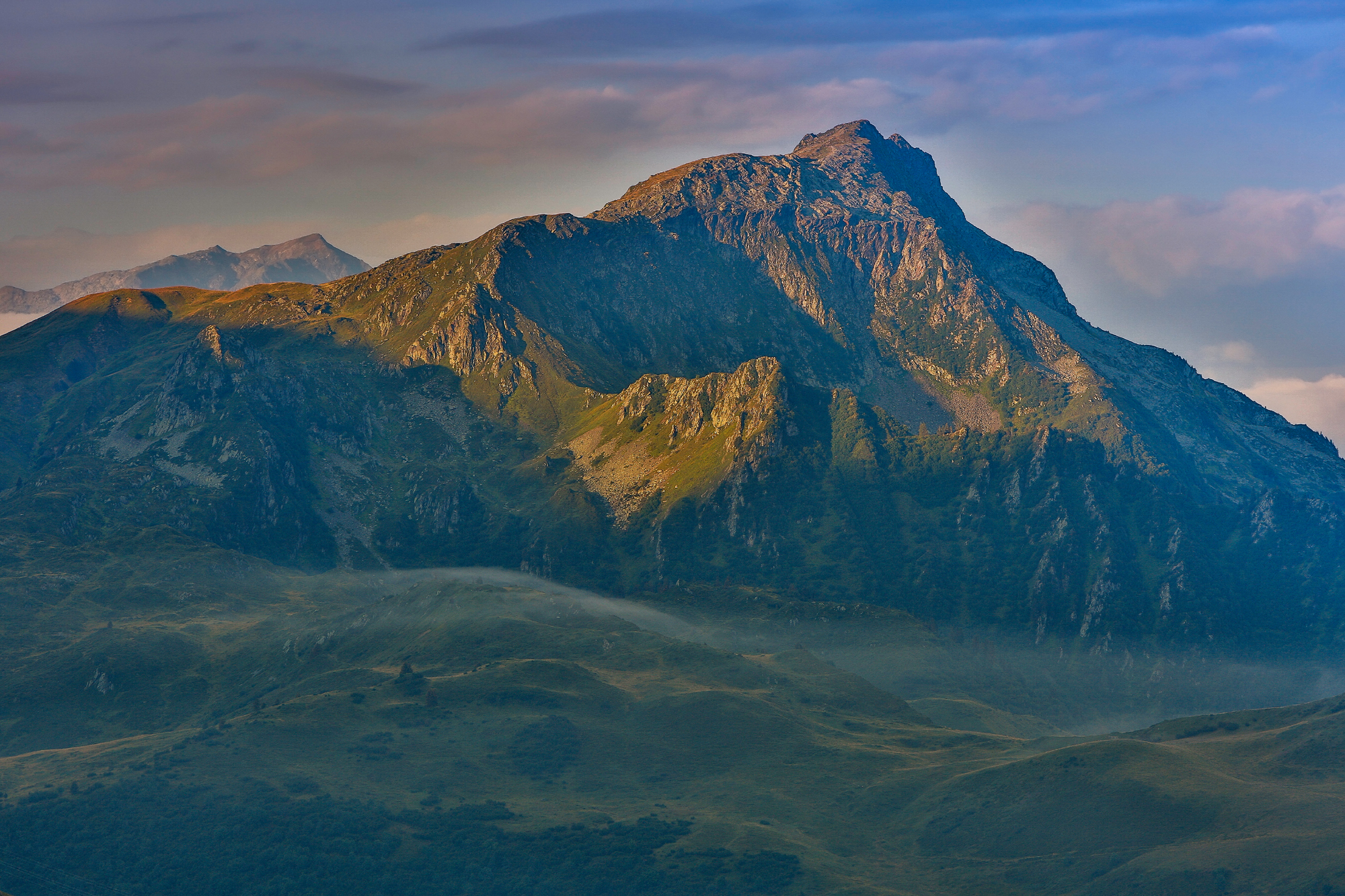
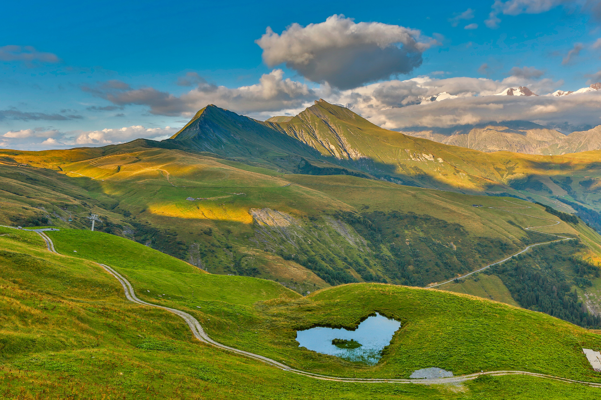
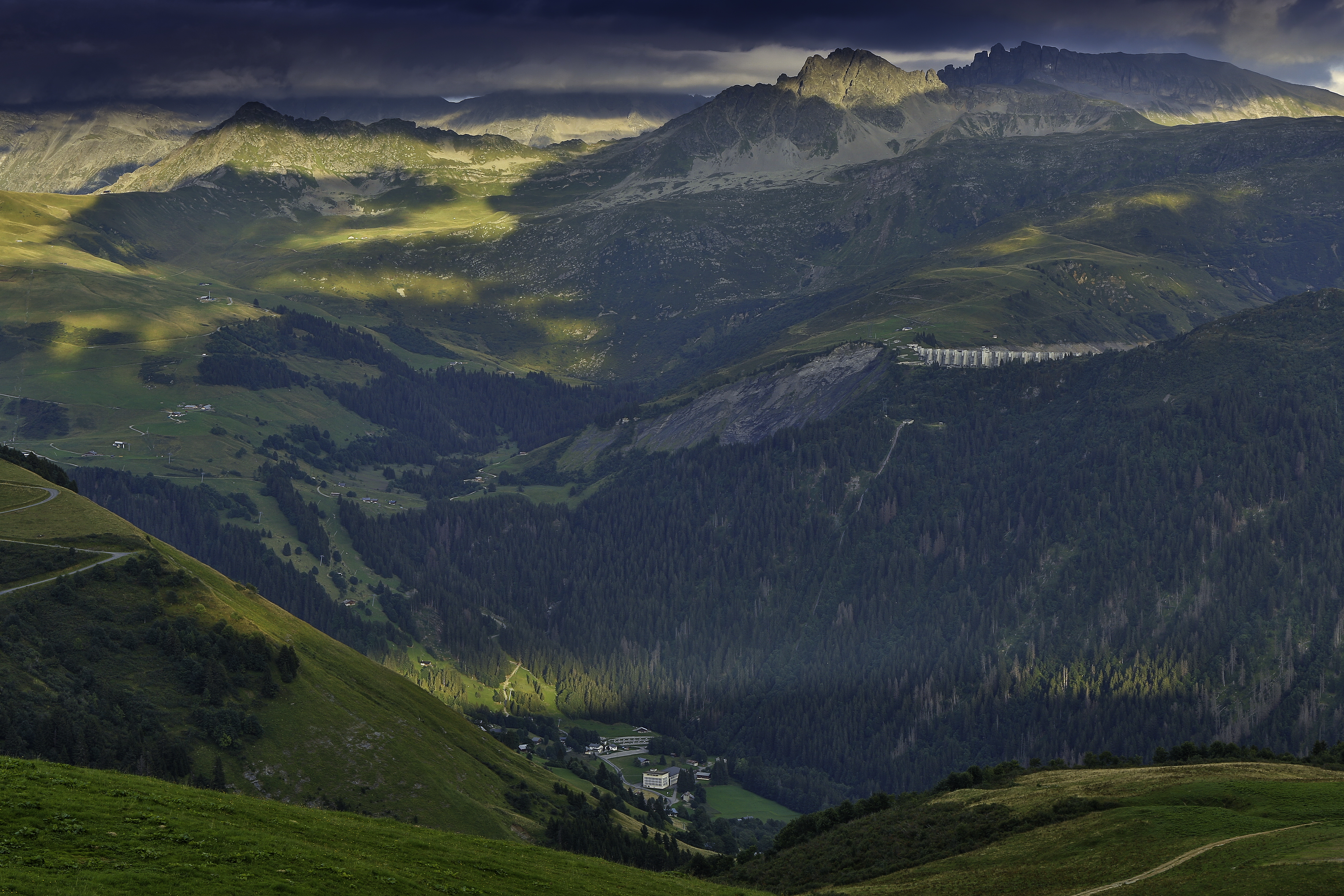
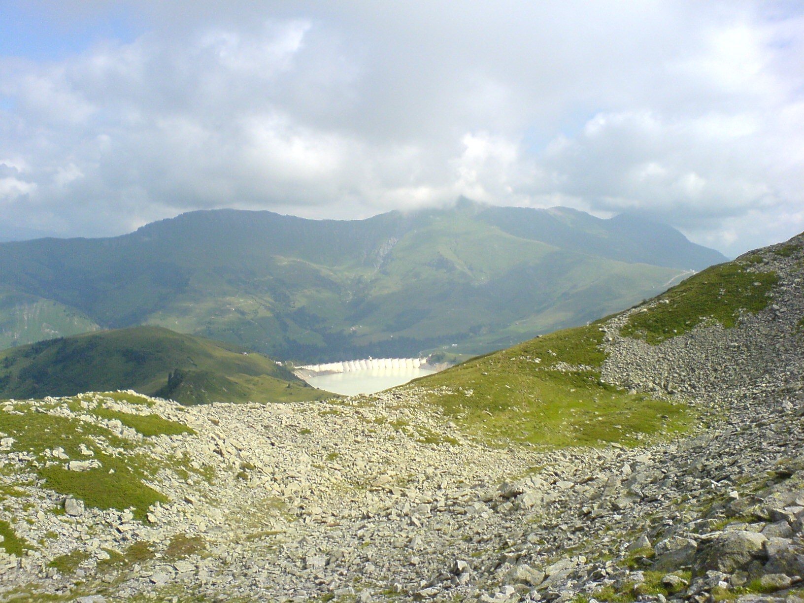
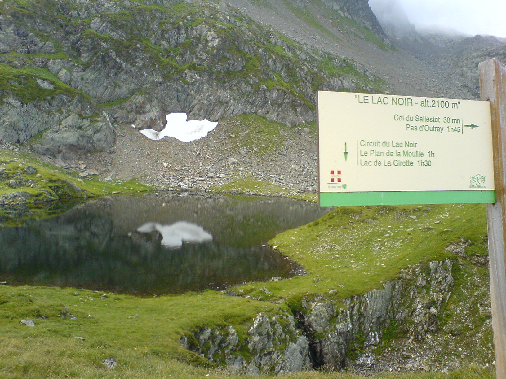
Very wild and majestic, it allows you to reach sites such as the Col de Véry, the Col du Joly, passage under the Col de la Fenêtre and Lac Noir. The route is characterized by a multitude of small climbs and descents over two-thirds of the route to Pas d'Uutray. From there, a long descent of more than 1000 m of vertical drop to the foot of Hauteluce takes you back to the slope of Les Saisies and ends on a last steep climb of 600 m of D +. You will evolve near pastures, stay on the trails, and respect the work of the mountaineers.
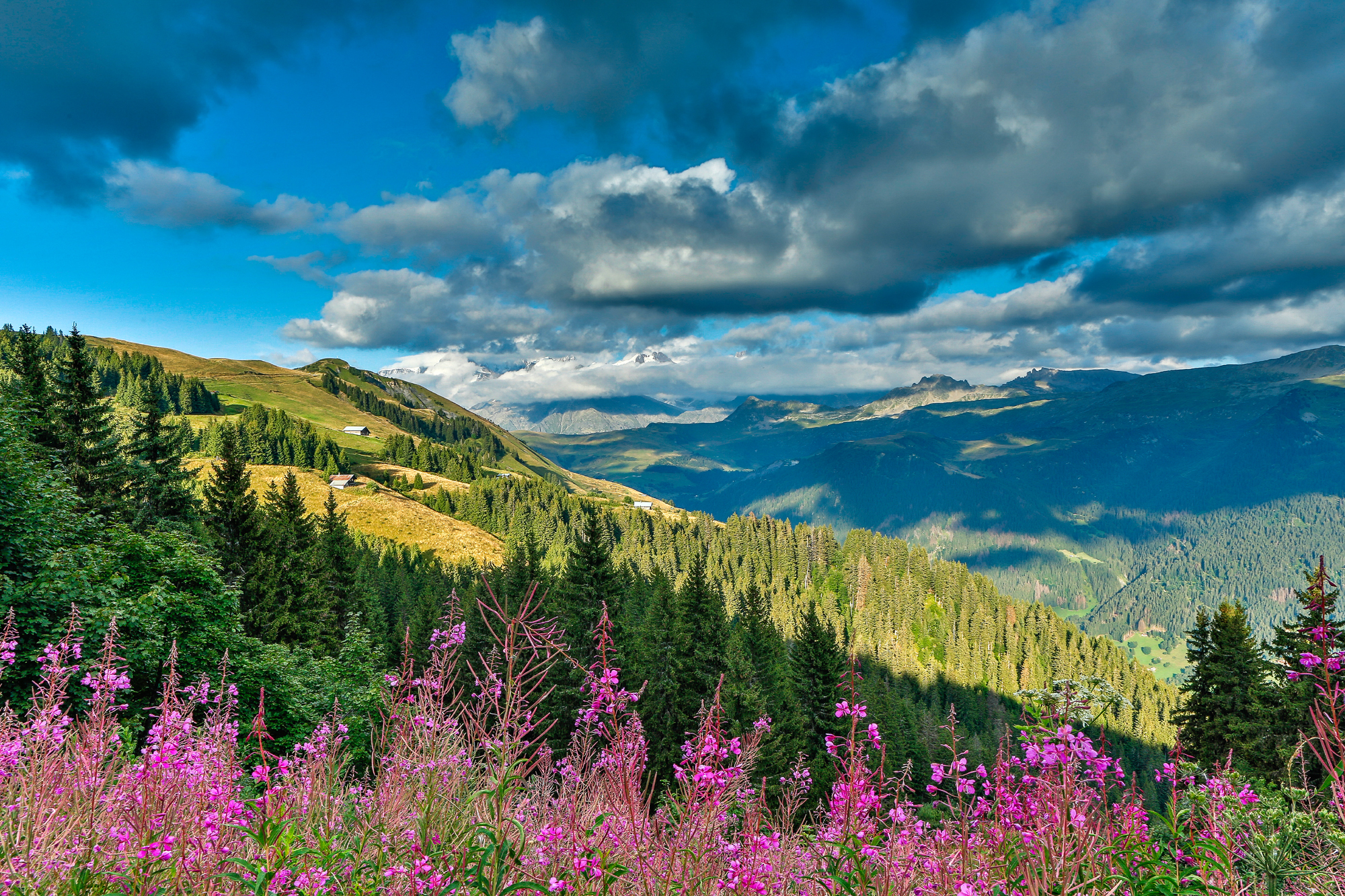
Source APIDAE

Discover the Destination

See more Destinations

Trail running Trail running

Share

Photos

photosFeed-https://static.apidae-tourisme.com/filestore/objets-touristiques/images/220/150/6330076.jpg
photosFeed-https://static.apidae-tourisme.com/filestore/objets-touristiques/images/240/150/6330096.jpg
photosFeed-https://static.apidae-tourisme.com/filestore/objets-touristiques/images/228/150/6330084.jpg
photosFeed-https://static.apidae-tourisme.com/filestore/objets-touristiques/images/191/150/6330047.jpg
photosFeed-https://static.apidae-tourisme.com/filestore/objets-touristiques/images/192/150/6330048.jpg
On Piste logo
Download from Apple Store Download from Google Store

Explore the best spots!

We have picked out for you the best destinations and routes, marked out by local experts and respectful of the environments in which they take place. Routes, accommodation, courses, races, equipment, find all the good addresses and recommendations of the On Piste team to organise your next walking, cycling or skiing session. Let us guide you and don't miss any point of interest.
© 2022 On Piste
v. 1.10.0