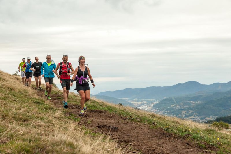
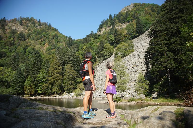
Vosges - Gérardmer & Vallée de Munster
Log in
Create an account
routes & spots
events
providers
Difficulty
Not secured
Easy
Medium
Hard
Very hard
Positive elevation
0 m
5000 m
Distance
0 km
150 km
It is not possible to select the difficulty at the same time as distance and elevation
Departure town
Gérardmer
Muhlbach-sur-Munster
Stosswihr
More filters
See only open routes
Delete the search
1
Trail running
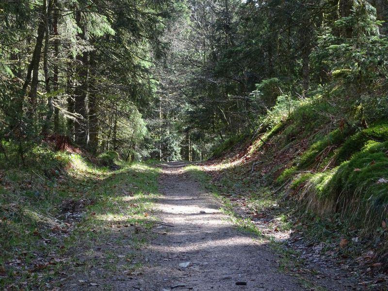
N°1 - Tour des Pistes
Gérardmer
Distance
7.10 km
Positive elevation
293 m
Negative elevation
294 m
Max. altitude
1126 m
1
Ski touring
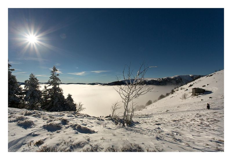
Le Gaschney
Stosswihr
Distance
2.75 km
Positive elevation
286 m
Negative elevation
4 m
Max. altitude
1281 m
Closed
2
Trail running
N°2 - Tête de Grouvelin
Gérardmer
Distance
9.78 km
Positive elevation
326 m
Negative elevation
325 m
Max. altitude
1126 m
2
Ski touring
Le Hohneck
Stosswihr
Distance
4.17 km
Positive elevation
471 m
Negative elevation
186 m
Max. altitude
1348 m
Closed
3
Trail running
La Roche des Bioqués
Gérardmer
Distance
11.78 km
Positive elevation
354 m
Negative elevation
351 m
Max. altitude
1124 m
4
Trail running
La Boucle de la Rayée
Gérardmer
Distance
16.34 km
Positive elevation
583 m
Negative elevation
585 m
Max. altitude
1126 m
5
Trail running
La Boucle des Ecarts (Actually closed)
Gérardmer
Distance
16.60 km
Positive elevation
728 m
Negative elevation
730 m
Max. altitude
1037 m
Closed
6
Trail running
Trail Court de la Vallée des Lacs
Gérardmer
Distance
21.83 km
Positive elevation
953 m
Negative elevation
954 m
Max. altitude
1124 m
7
Trail running
Tour de Gérardmer par les Hauts (actually closed)
Gérardmer
Distance
32.51 km
Positive elevation
1530 m
Negative elevation
1529 m
Max. altitude
1037 m
Closed
8
Trail running
Hautes Chaumes et lacs
Gérardmer
Distance
40.84 km
Positive elevation
1872 m
Negative elevation
1872 m
Max. altitude
1349 m
11
Trail running
Le Gaschney - Lac de Schiessrothried
Stosswihr
Distance
7.53 km
Positive elevation
250 m
Negative elevation
251 m
Max. altitude
1145 m
12
Trail running
Entre crêtes et lacs
Stosswihr
Distance
17.02 km
Positive elevation
687 m
Negative elevation
690 m
Max. altitude
1331 m