Le Pays des Écrins
Log in
Create an account
routes & spots
events
providers
Difficulty
Not secured
Easy
Medium
Hard
Very hard
Positive elevation
0 m
5000 m
Distance
0 km
150 km
It is not possible to select the difficulty at the same time as distance and elevation
Departure town
Champcella
Freissinières
L'Argentière-la-Bessée
La Roche-de-Rame
Les Vigneaux
Puy-Saint-Vincent
Saint-Martin-de-Queyrières
Vallouise-Pelvoux
More filters
See only open routes
Delete the search
1
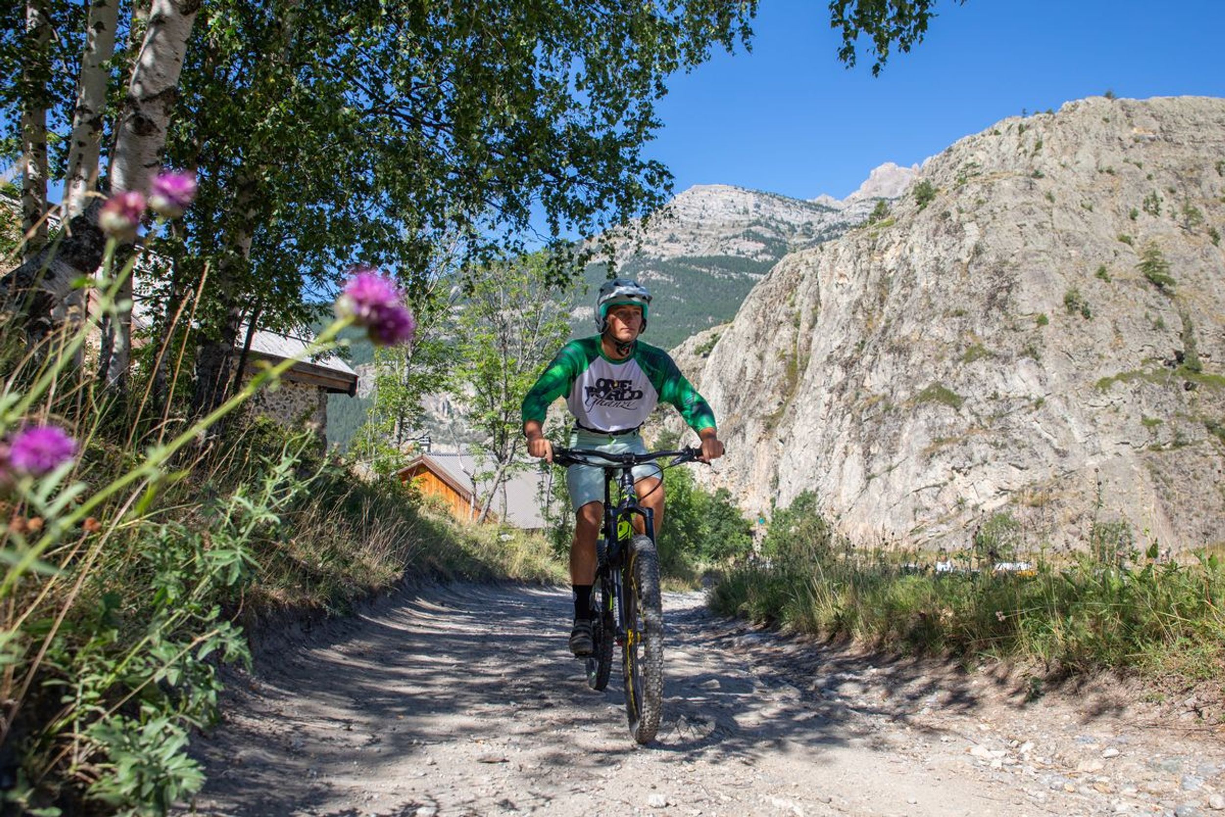
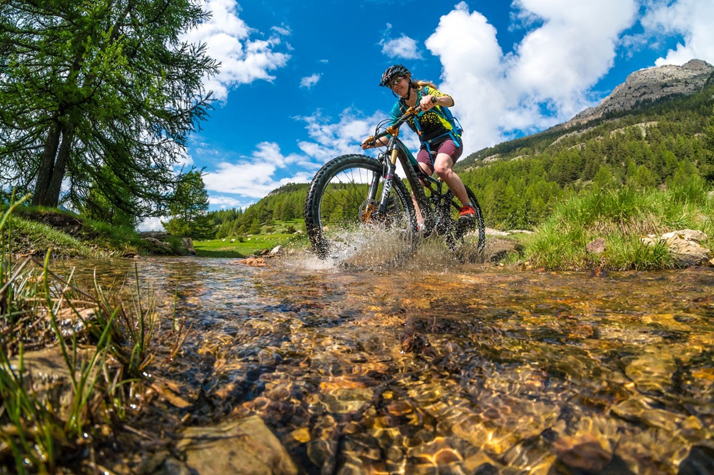
Enduro bike
Distance
13.26 km
Positive elevation
343 m
Negative elevation
1059 m
Max. altitude
2012 m
Site VTT-FFC
Parcours balisé ✅
Closed
1
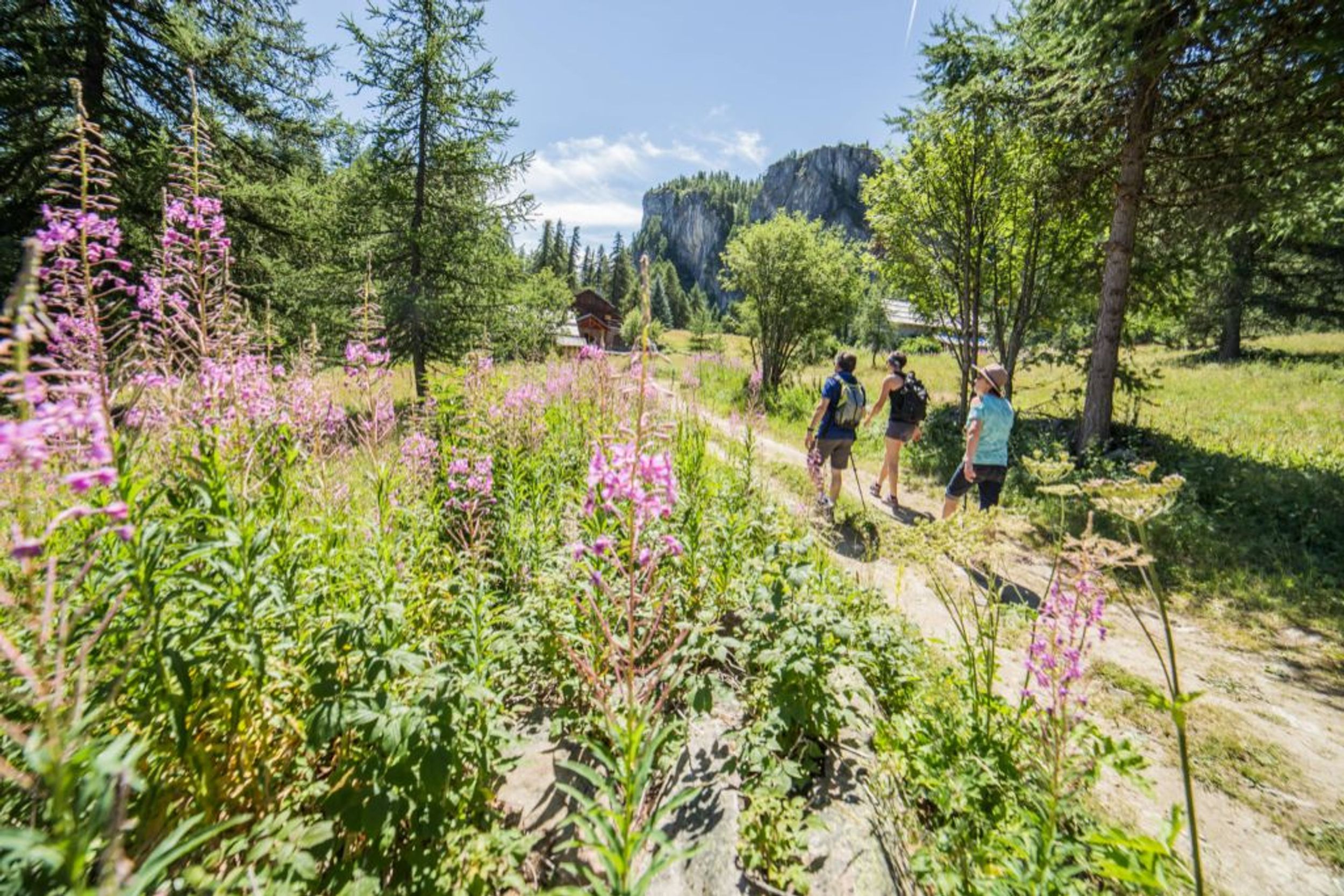
Trail Running
The Bois de Parapin - Parapin wood (trail route no. 1)
Les Vigneaux
Distance
6.21 km
Positive elevation
227 m
Negative elevation
226 m
Max. altitude
1268 m
Parcours balisé ✅
Guidage vocal 🔊
1
Mountain bike
Le Poux circuit (no. 1)
Saint-Martin-de-Queyrières
Distance
7.64 km
Positive elevation
490 m
Negative elevation
489 m
Max. altitude
1663 m
Site VTT-FFC
1
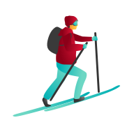
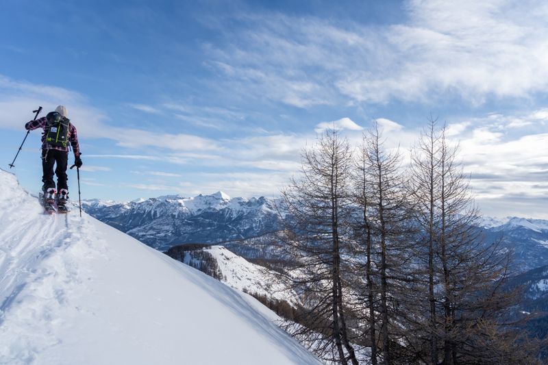
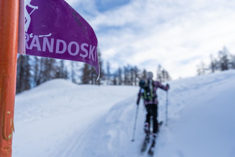
Ski touring
Rando Ski du Pré Rouge
Puy-Saint-Vincent
Distance
4.28 km
Positive elevation
611 m
Negative elevation
6 m
Max. altitude
2013 m
Espace Ski de Rando
Closed
2
Ski touring
Rando Ski Les Têtes
Distance
3.89 km
Positive elevation
287 m
Negative elevation
31 m
Max. altitude
2025 m
Espace Ski de Rando
Closed
2
Mountain bike
Chapelle Saint-Ours circuit (no. 2)
Saint-Martin-de-Queyrières
Distance
7.82 km
Positive elevation
262 m
Negative elevation
262 m
Max. altitude
1410 m
Site VTT-FFC
2
Trail Running
La Balade de Monsieur - Gentleman's Trail (trail route no. 2)
Freissinières
Distance
6.82 km
Positive elevation
185 m
Negative elevation
186 m
Max. altitude
1275 m
Parcours balisé ✅
Guidage vocal 🔊
3
Mountain bike
Les Choulières circuit (no. 3)
Vallouise-Pelvoux
Distance
13.30 km
Positive elevation
473 m
Negative elevation
475 m
Max. altitude
1580 m
Site VTT-FFC
3
Trail Running
Marbre Rose circuit (trail route no. 3)
La Roche-de-Rame
Distance
10.04 km
Positive elevation
536 m
Negative elevation
536 m
Max. altitude
1474 m
Parcours balisé ✅
Guidage vocal 🔊
4
Mountain bike
Les Claux circuit (no. 4)
Vallouise-Pelvoux
Distance
5.08 km
Positive elevation
109 m
Negative elevation
111 m
Max. altitude
1289 m
Site VTT-FFC
4
Trail Running
The tour of the Rocher Baron (trail route no. 4)
Saint-Martin-de-Queyrières
Distance
8.77 km
Positive elevation
233 m
Negative elevation
233 m
Max. altitude
1369 m
Parcours balisé ✅
Guidage vocal 🔊
5
Trail Running
The Col de la Pousterle (trail route no. 5)
Les Vigneaux
Distance
13.28 km
Positive elevation
729 m
Negative elevation
720 m
Max. altitude
1811 m
Parcours balisé ✅
Guidage vocal 🔊