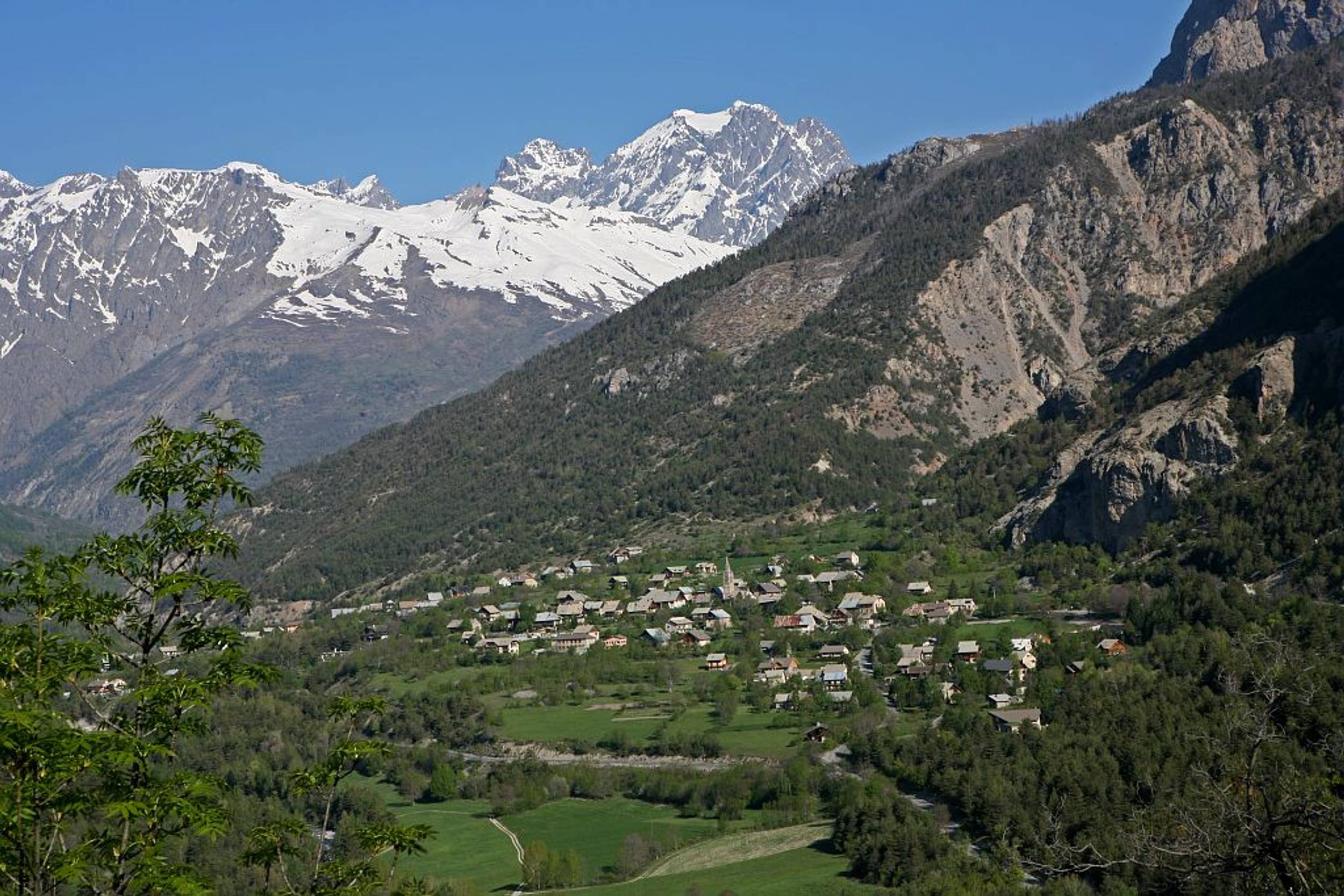
Le Pays des Écrins
Log in
Create an account
routes & spots
events
providers
Difficulty
Not secured
Easy
Medium
Hard
Very hard
Positive elevation
0 m
5000 m
Distance
0 km
150 km
It is not possible to select the difficulty at the same time as distance and elevation
Departure town
Briançon
Champcella
Freissinières
L'Argentière-la-Bessée
La Roche-de-Rame
Les Vigneaux
Puy-Saint-Vincent
Saint-Martin-de-Queyrières
Vallouise-Pelvoux
More filters
See only open routes
//
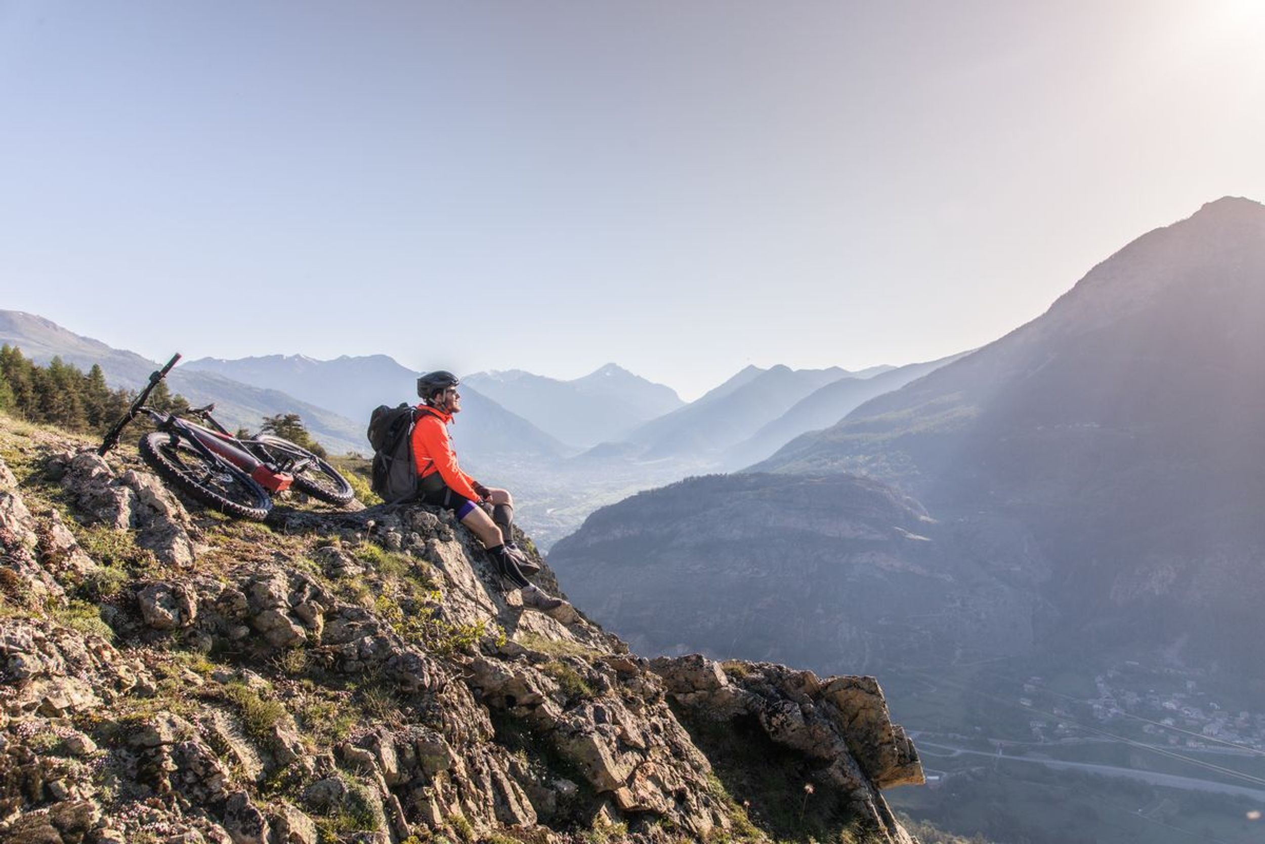
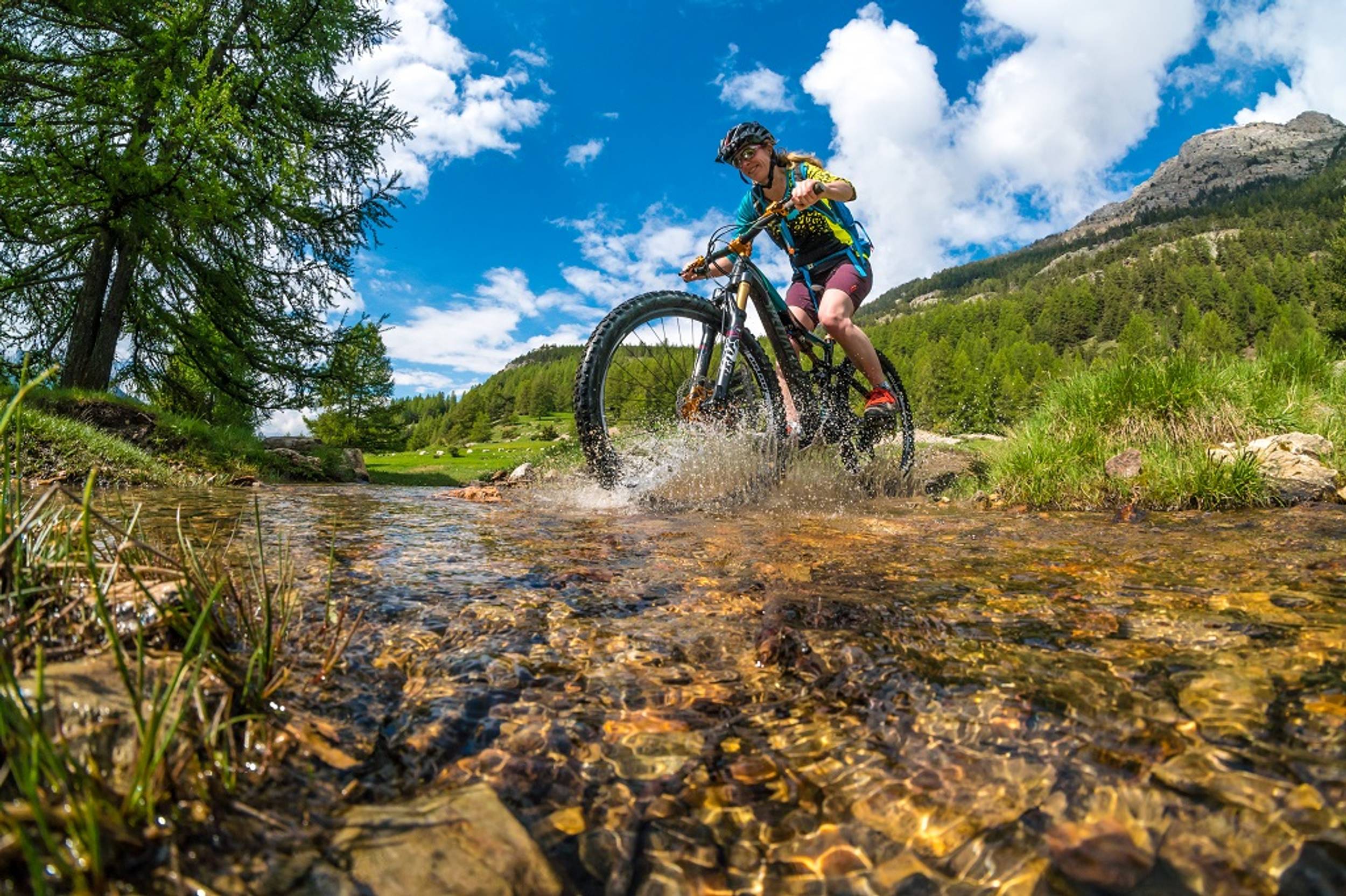
Cross-Country bike
Traversée du Pays des Ecrins en VTT en 2 jours
Briançon
Distance
71.89 km
Positive elevation
2715 m
Negative elevation
2953 m
Max. altitude
1932 m
Closed
1
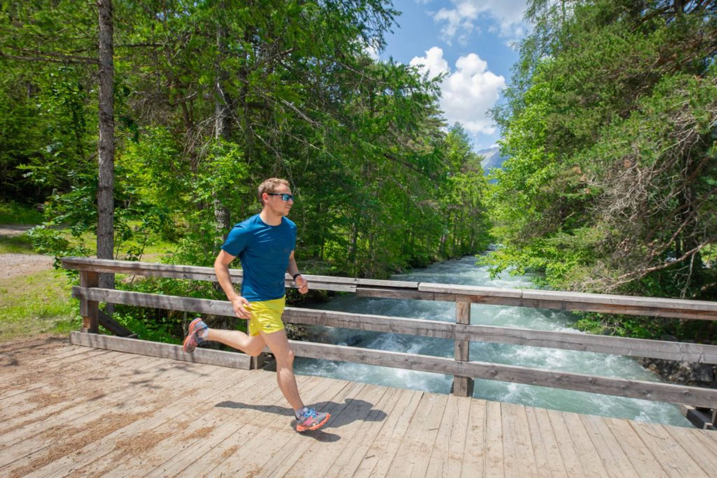
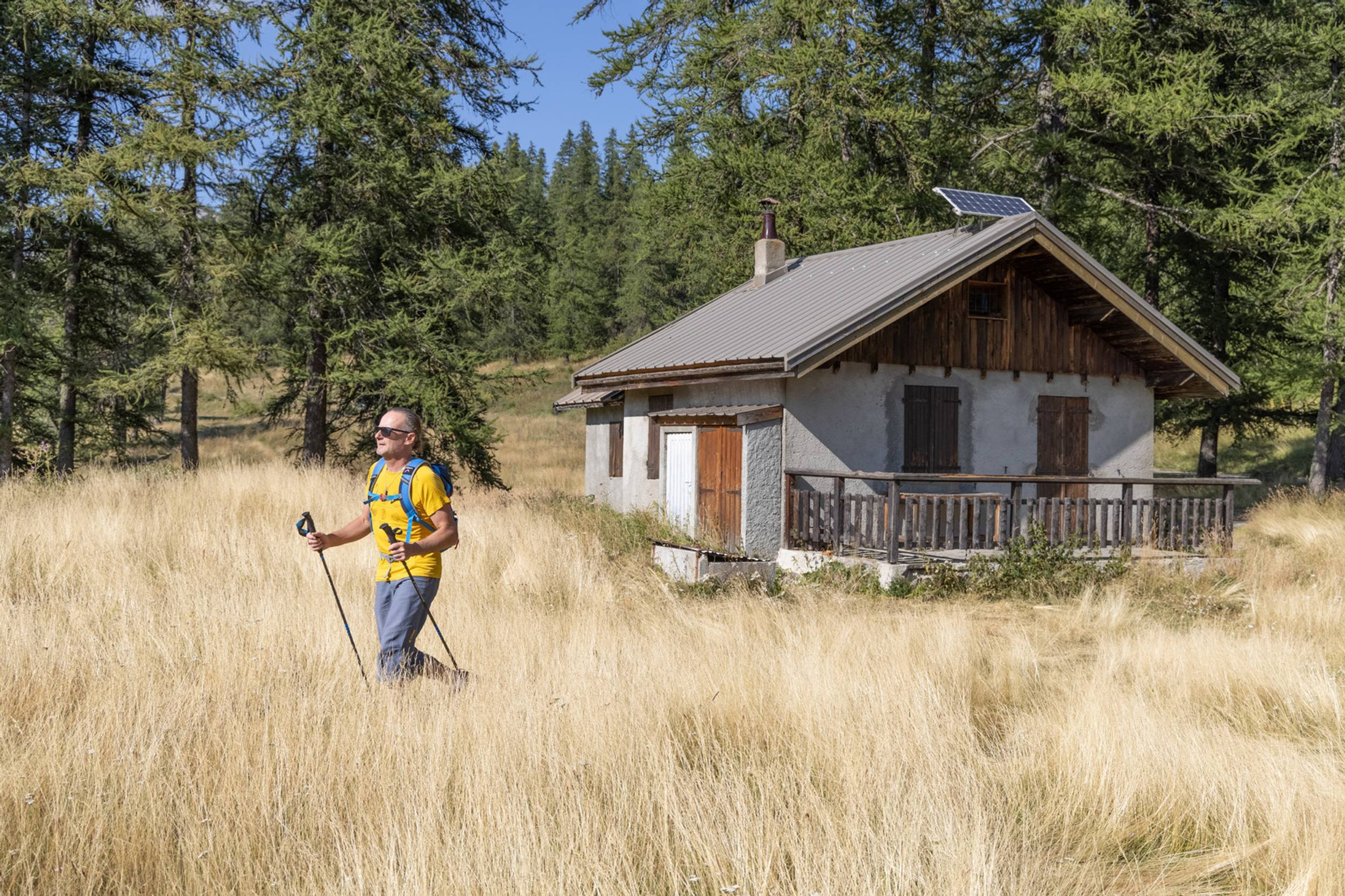
Trail Running
The Bois de Parapin - Parapin wood (trail route no. 1)
Les Vigneaux
Distance
6.23 km
Positive elevation
183 m
Negative elevation
185 m
Max. altitude
1263 m
Parcours balisé ✅
Guidage vocal 🔊
1
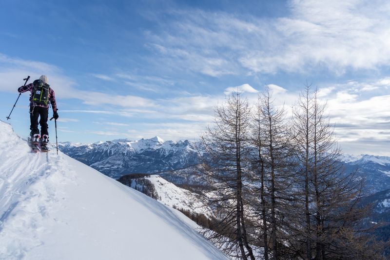
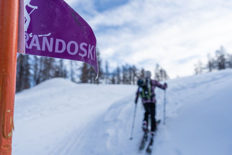
Ski touring
Rando Ski du Pré Rouge
Puy-Saint-Vincent
Distance
4.28 km
Positive elevation
611 m
Negative elevation
6 m
Max. altitude
2013 m
Espace Ski de Rando
1
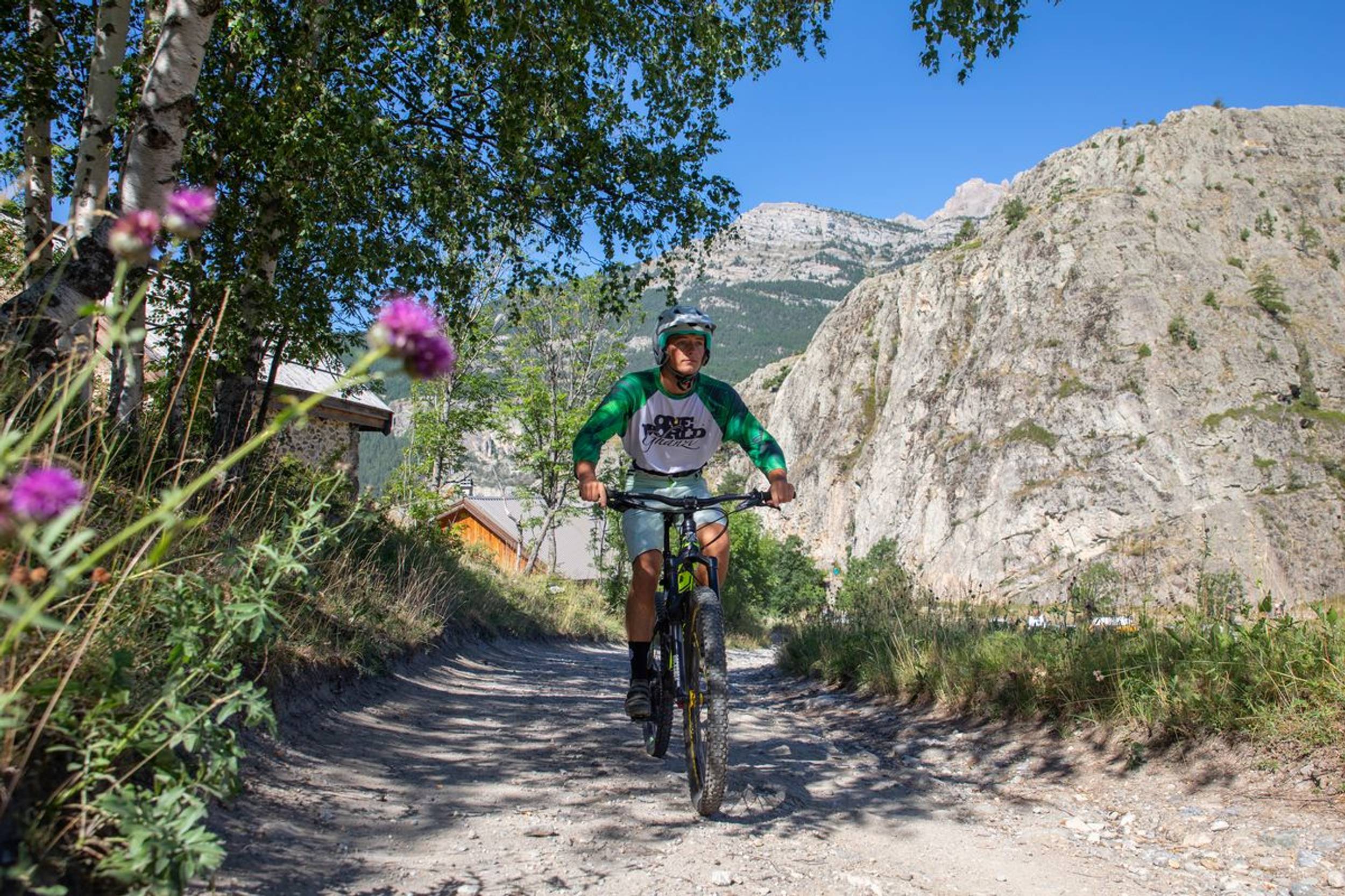
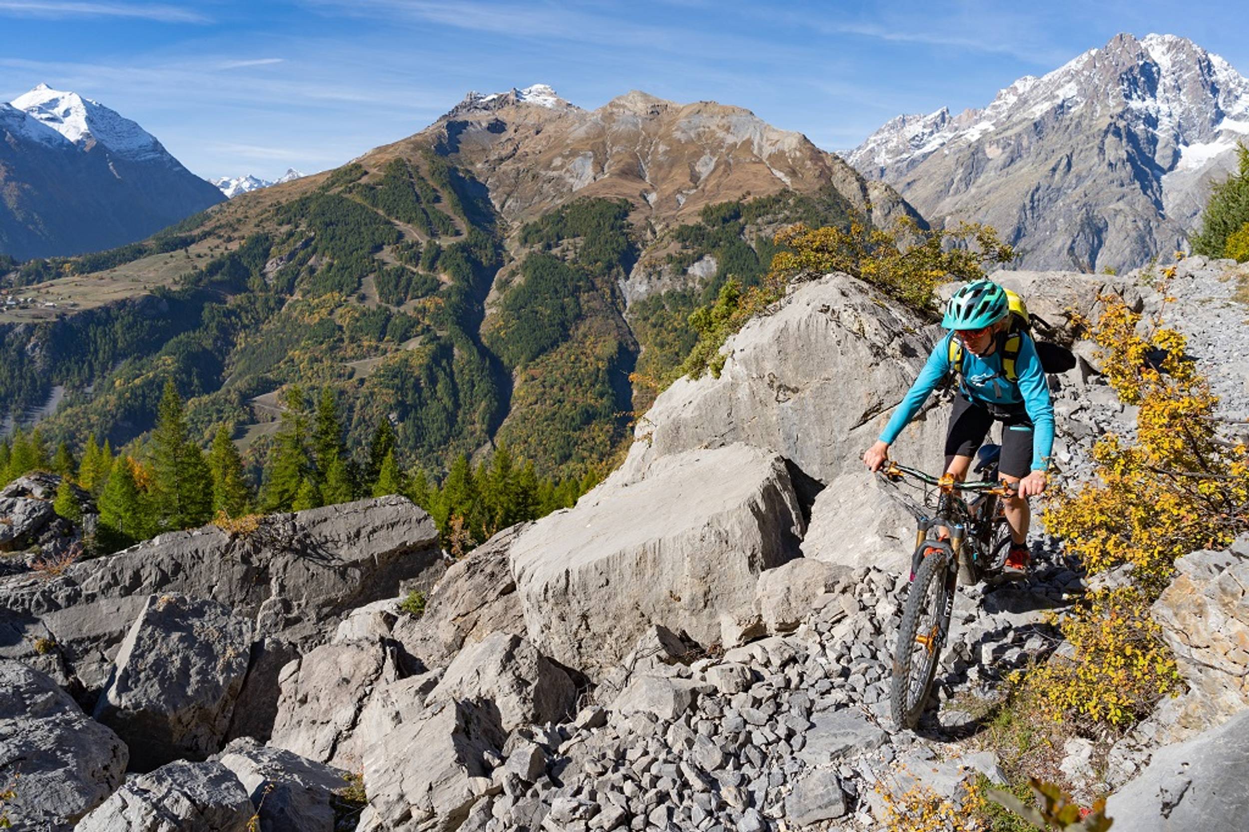
Mountain bike
Le Poux circuit (no. 1)
Saint-Martin-de-Queyrières
Distance
7.69 km
Positive elevation
483 m
Negative elevation
475 m
Max. altitude
1662 m
Site VTT-FFC
Parcours balisé ✅
+ 1
2
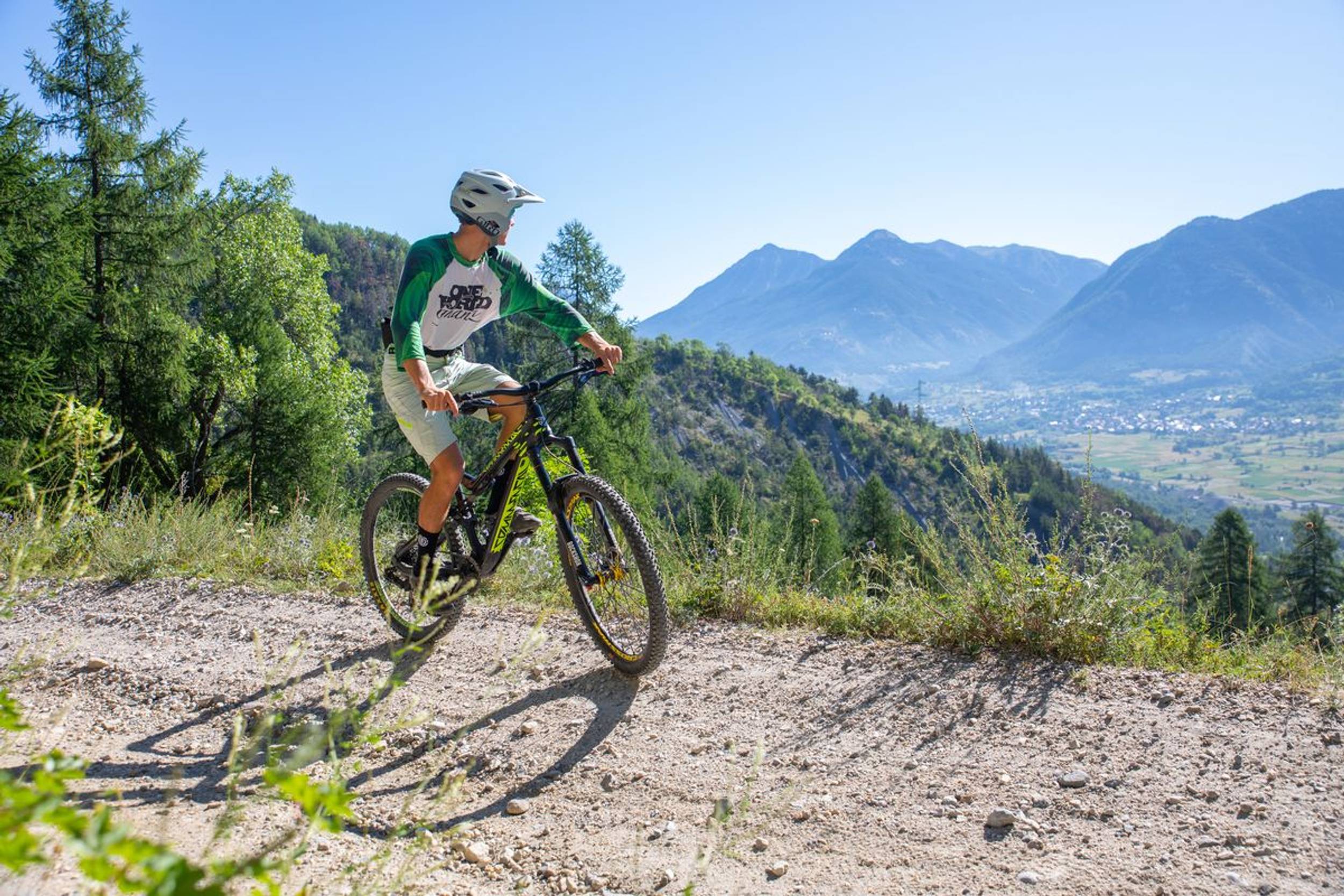
Mountain bike
Chapelle Saint-Ours circuit (no. 2)
Saint-Martin-de-Queyrières
Distance
7.87 km
Positive elevation
260 m
Negative elevation
255 m
Max. altitude
1412 m
Site VTT-FFC
2
Trail Running
La Balade de Monsieur - Gentleman's Trail (trail route no. 2)
Freissinières
Distance
6.84 km
Positive elevation
156 m
Negative elevation
160 m
Max. altitude
1279 m
Parcours balisé ✅
Guidage vocal 🔊
Closed
2
Ski touring
Rando Ski Les Têtes
Distance
3.89 km
Positive elevation
287 m
Negative elevation
31 m
Max. altitude
2025 m
Espace Ski de Rando
3
Mountain bike
Les Choulières circuit (no. 3)
Vallouise-Pelvoux
Distance
13.37 km
Positive elevation
489 m
Negative elevation
490 m
Max. altitude
1587 m
Site VTT-FFC
Parcours balisé ✅
+ 1
3
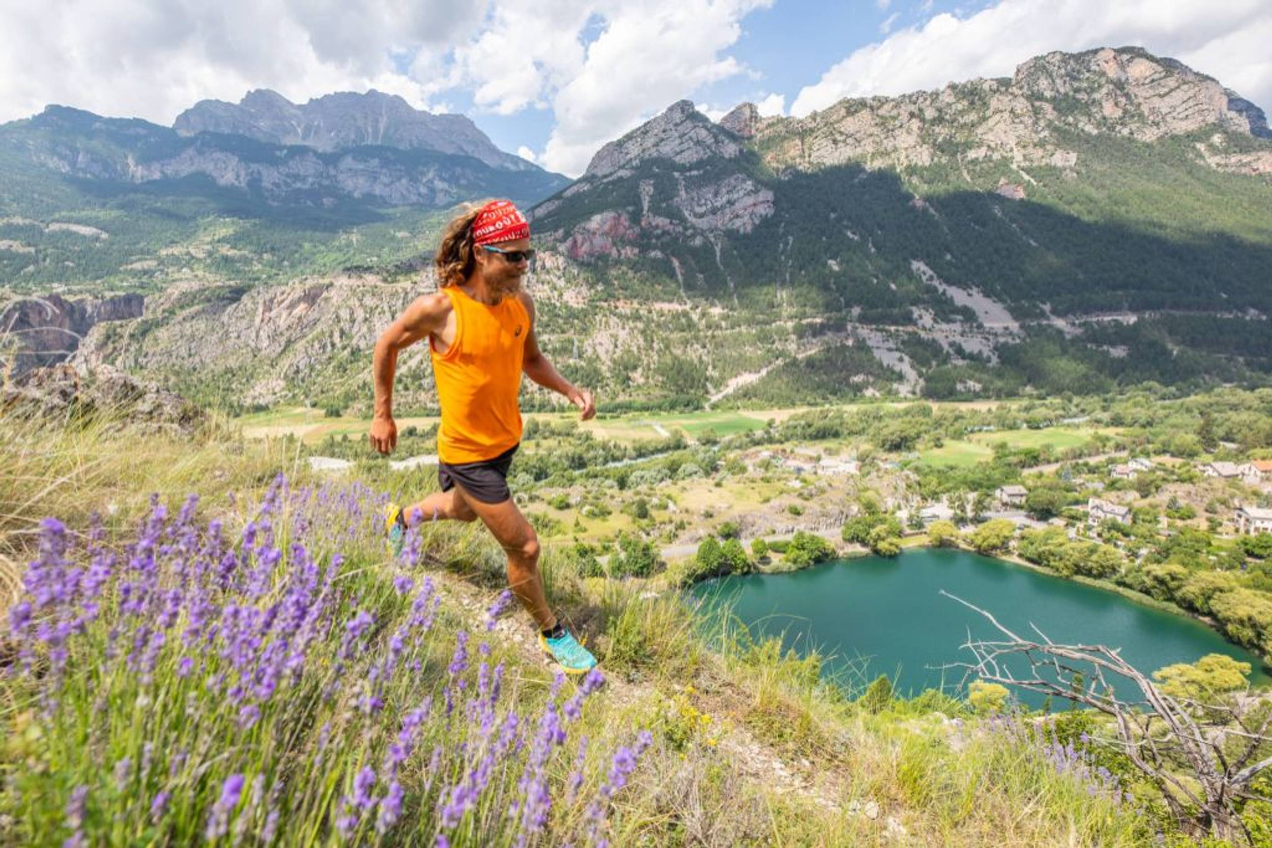
Trail Running
Marbre Rose circuit (trail route no. 3)
La Roche-de-Rame
Distance
10.10 km
Positive elevation
539 m
Negative elevation
535 m
Max. altitude
1484 m
Parcours balisé ✅
Guidage vocal 🔊
4
Mountain bike
Les Claux circuit (no. 4)
Vallouise-Pelvoux
Distance
5.10 km
Positive elevation
84 m
Negative elevation
86 m
Max. altitude
1285 m
Site VTT-FFC
Parcours balisé ✅
+ 1
Under surveillance
4
Trail Running
The tour of the Rocher Baron (trail route no. 4)
Saint-Martin-de-Queyrières
Distance
14.73 km
Positive elevation
507 m
Negative elevation
503 m
Max. altitude
1590 m
Parcours balisé ✅
Guidage vocal 🔊
Under surveillance
5
Trail Running
The Col de la Pousterle (trail route no. 5)
Les Vigneaux
Distance
13.37 km
Positive elevation
720 m
Negative elevation
721 m
Max. altitude
1811 m
Parcours balisé ✅
Guidage vocal 🔊