Val d’Isère
Log in
Create an account
routes & spots
events
providers
Difficulty
Not secured
Easy
Medium
Hard
Very hard
Positive elevation
0 m
5000 m
Distance
0 km
150 km
It is not possible to select the difficulty at the same time as distance and elevation
Departure town
Val-d'Isère
More filters
See only open routes
1
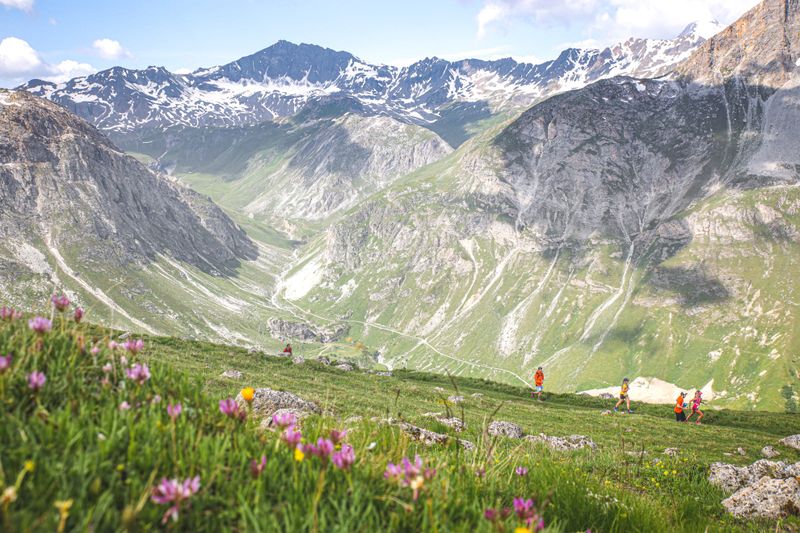
Trail Running
Trail - Odyssea
Val-d'Isère
Distance
8.33 km
Positive elevation
267 m
Negative elevation
266 m
Max. altitude
1992 m
1
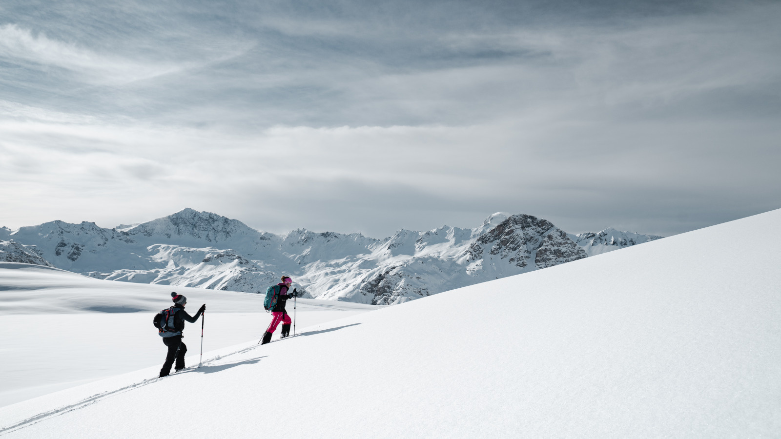
Ski touring
Brinzeï (La Daille)
Val-d'Isère
Distance
2.16 km
Positive elevation
351 m
Negative elevation
-
Max. altitude
2153 m
Espace Ski de Rando
Closed
2
Ski touring
Écureuil (Solaise)
Val-d'Isère
Distance
1.81 km
Positive elevation
423 m
Negative elevation
-
Max. altitude
2265 m
Closed
2
Trail Running
Trail - Balcons
Val-d'Isère
Distance
19.15 km
Positive elevation
1082 m
Negative elevation
1080 m
Max. altitude
2553 m
A
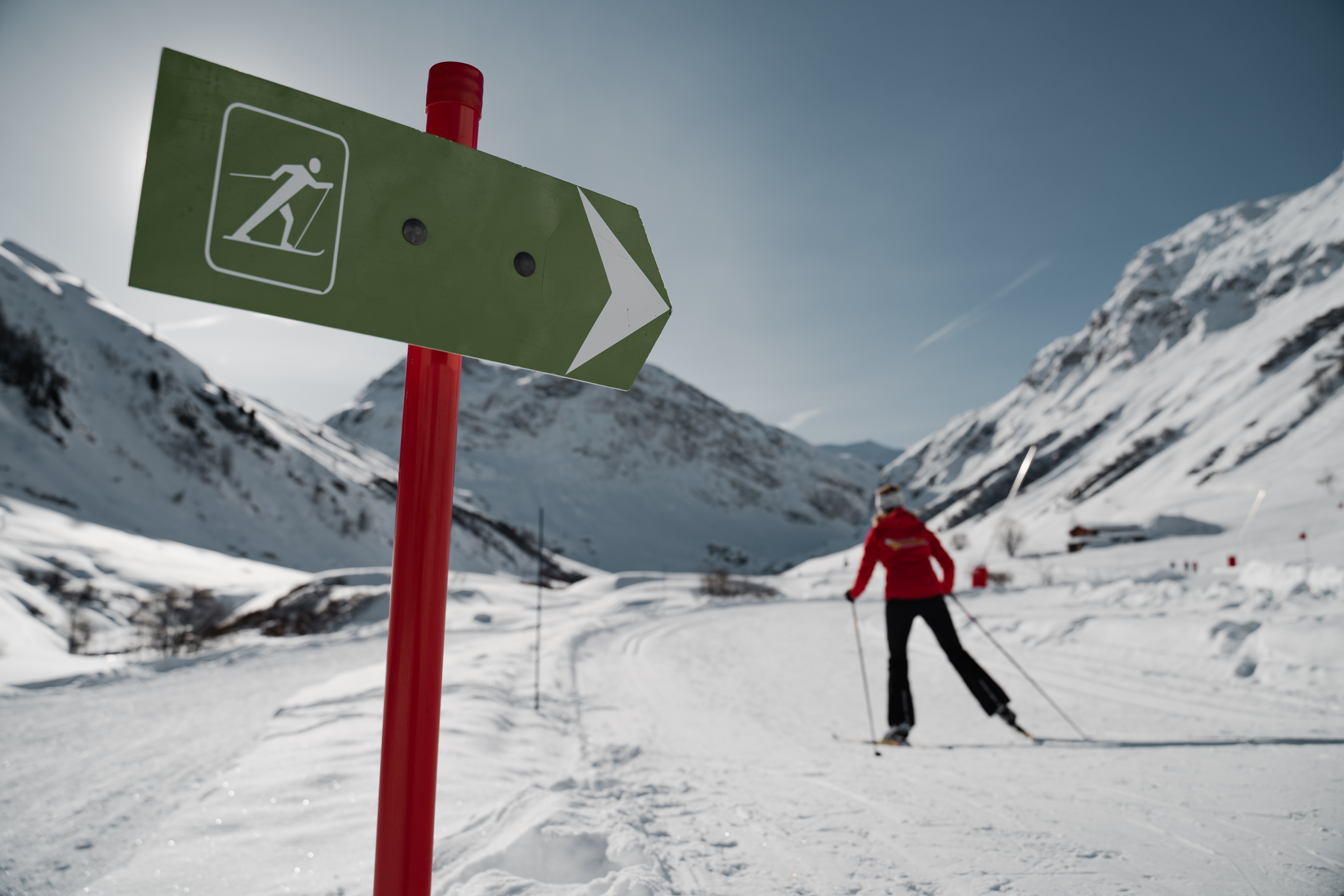
Cross country skiing
Great Manchet loop
Val-d'Isère
Distance
8.76 km
Positive elevation
96 m
Negative elevation
96 m
Max. altitude
1958 m
B
Cross country skiing
Small Manchet loop
Val-d'Isère
Distance
3.06 km
Positive elevation
29 m
Negative elevation
29 m
Max. altitude
1915 m
E
Cross country skiing
Large loop of Ouillette Lake
Val-d'Isère
Distance
3.52 km
Positive elevation
32 m
Negative elevation
31 m
Max. altitude
2539 m
F
Cross country skiing
Small loop around Ouillette Lake
Val-d'Isère
Distance
1.20 km
Positive elevation
8 m
Negative elevation
5 m
Max. altitude
2521 m