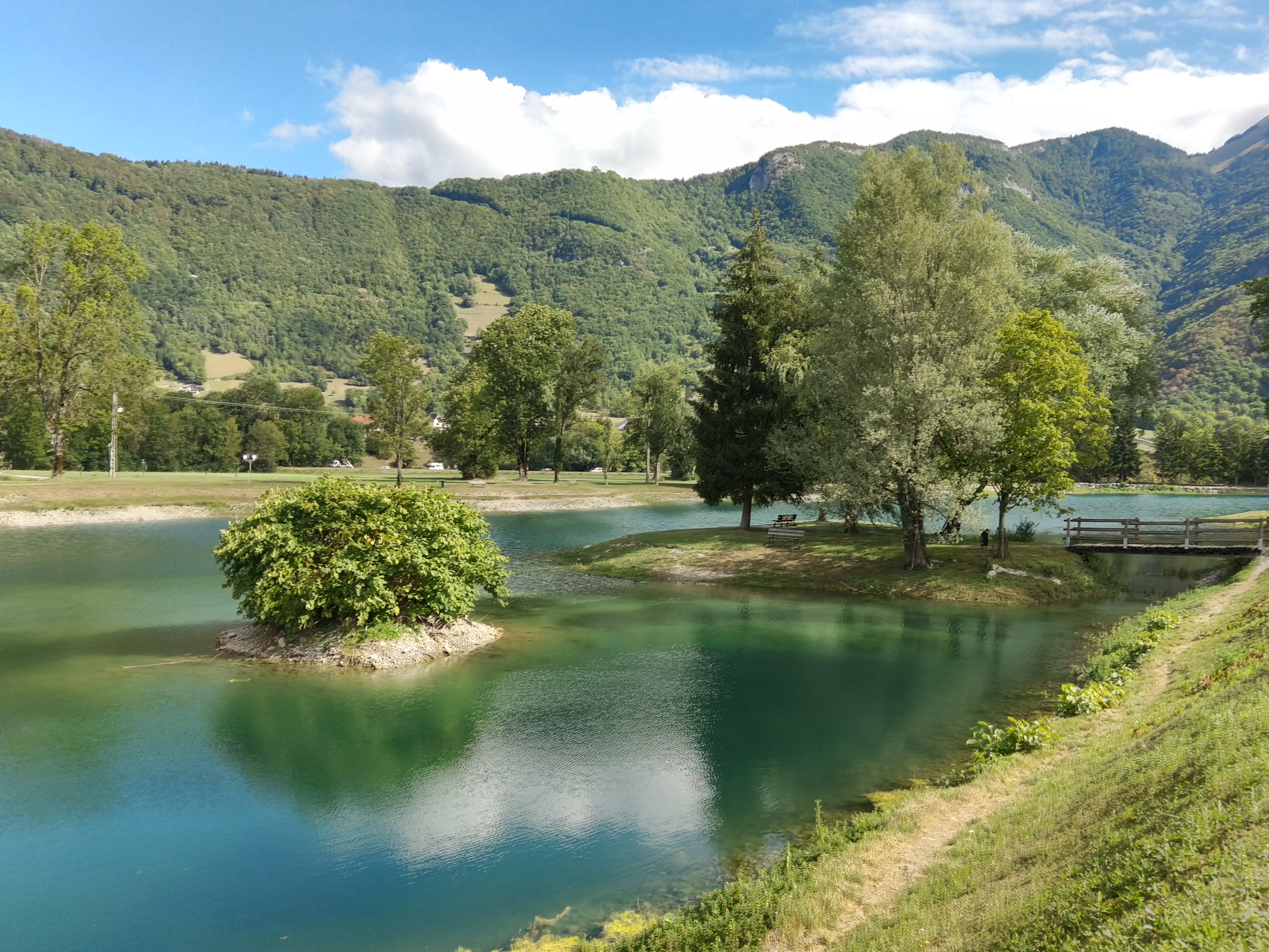
Sources du lac d’Annecy
Log in
Create an account
routes & spots
events
providers
Difficulty
Not secured
Easy
Medium
Hard
Very hard
Positive elevation
0 m
5000 m
Distance
0 km
150 km
It is not possible to select the difficulty at the same time as distance and elevation
Departure town
Chevaline
Doussard
Faverges-Seythenex
Giez
Lathuile
Le Bouchet-Mont-Charvin
Mercury
Saint-Ferréol
Talloires-Montmin
Val de Chaise
More filters
See only open routes
Delete the search
4
Hiking
Val de Chaise
Distance
824.00 m
Positive elevation
2 m
Negative elevation
3 m
Max. altitude
463 m
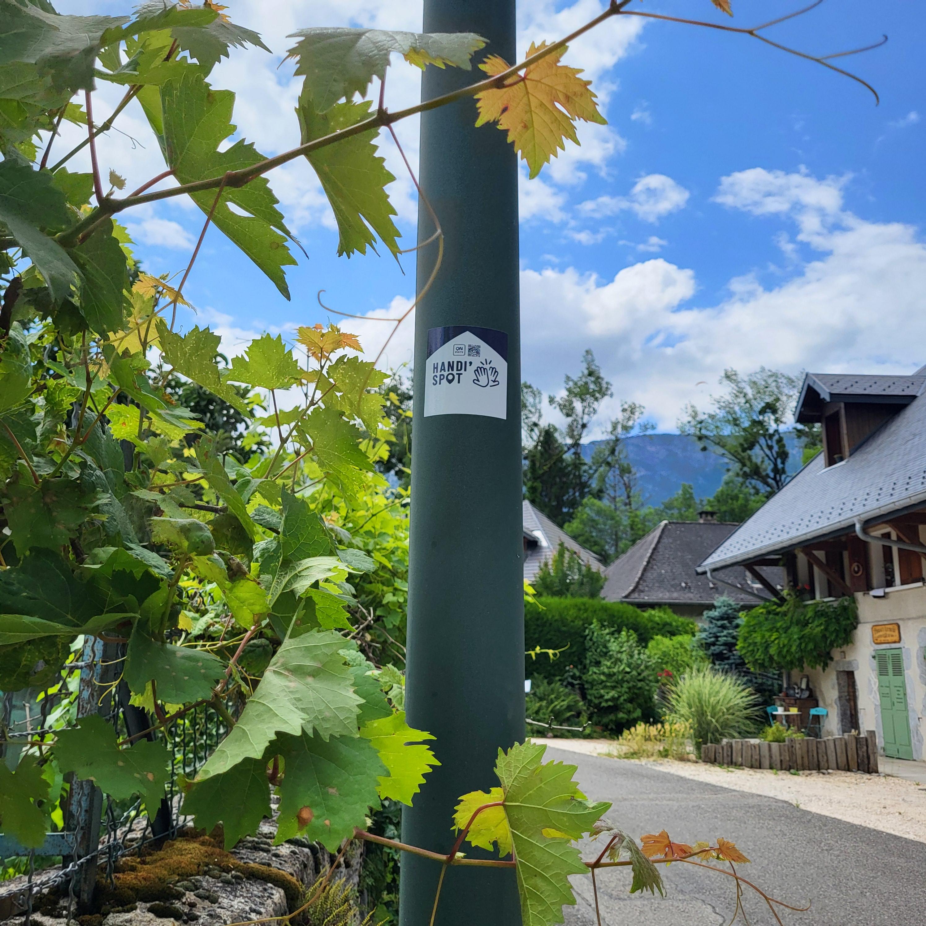
Handi'Spot
Parcours balisé ✅
+ 1
5
Hiking
Chevaline
Distance
7.87 km
Positive elevation
272 m
Negative elevation
274 m
Max. altitude
750 m
Handi'Spot
6
Hiking
Giez
Distance
7.56 km
Positive elevation
252 m
Negative elevation
243 m
Max. altitude
701 m
Handi'Spot
Parcours balisé ✅
+ 1
7
Hiking
Doussard
Distance
12.79 km
Positive elevation
209 m
Negative elevation
210 m
Max. altitude
613 m
Handi'Spot
8
Hiking
Faverges-Seythenex
Distance
5.76 km
Positive elevation
242 m
Negative elevation
226 m
Max. altitude
723 m
Cani'spot
9
Hiking
Val de Chaise
Distance
6.56 km
Positive elevation
528 m
Negative elevation
529 m
Max. altitude
1009 m
Cani'spot
10
Hiking
Val de Chaise
Distance
4.70 km
Positive elevation
143 m
Negative elevation
146 m
Max. altitude
583 m
Cani'spot
R
Hiking
Hike : Around The Castle
Faverges-Seythenex
Distance
2.88 km
Positive elevation
203 m
Negative elevation
193 m
Max. altitude
716 m
R
Hiking
Hike: La Source du Biel
Faverges-Seythenex
Distance
3.86 km
Positive elevation
97 m
Negative elevation
97 m
Max. altitude
605 m
R
Hiking
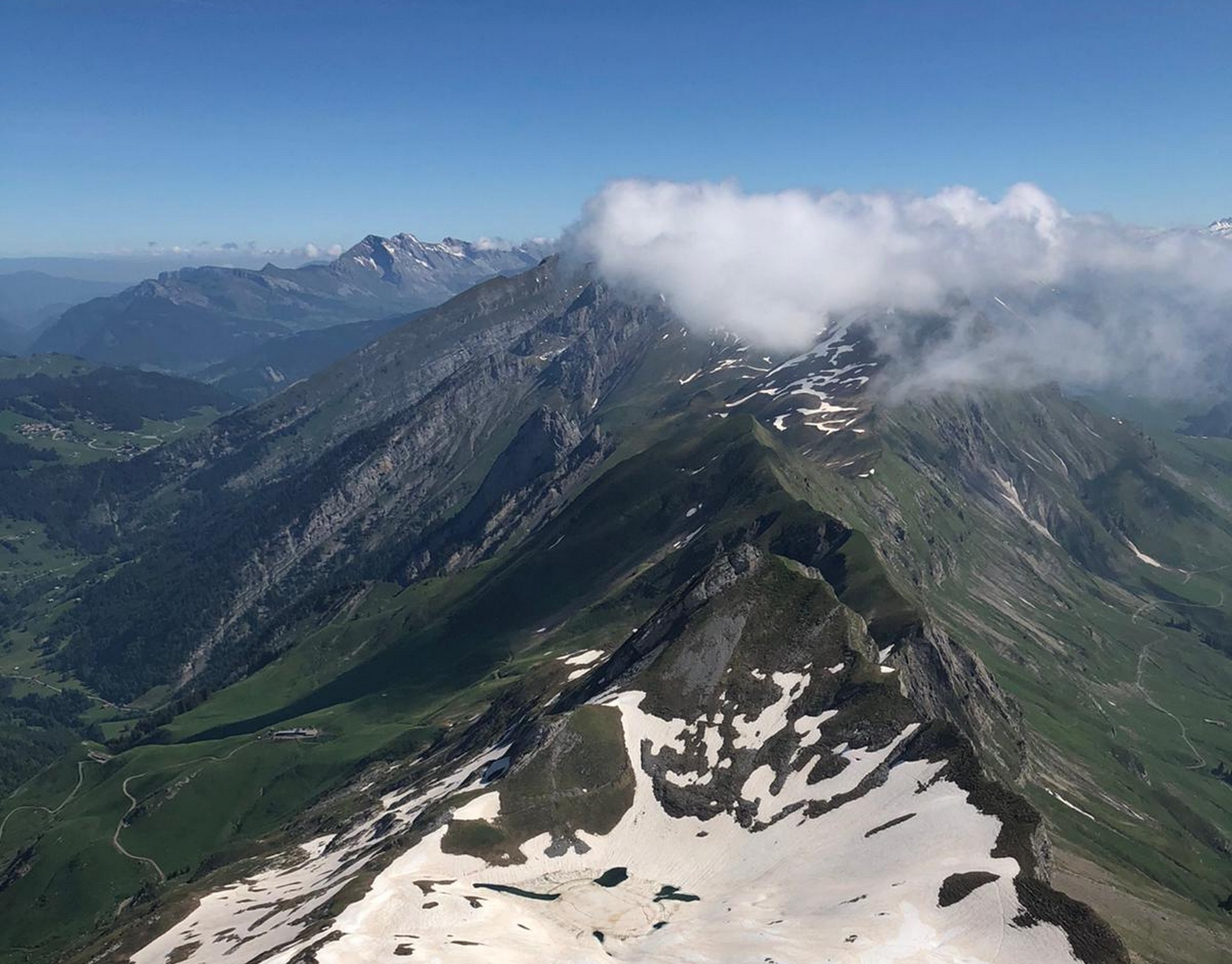
Hike: Le Mont-Charvin
Le Bouchet-Mont-Charvin
Distance
9.31 km
Positive elevation
929 m
Negative elevation
926 m
Max. altitude
2330 m
R
Hiking
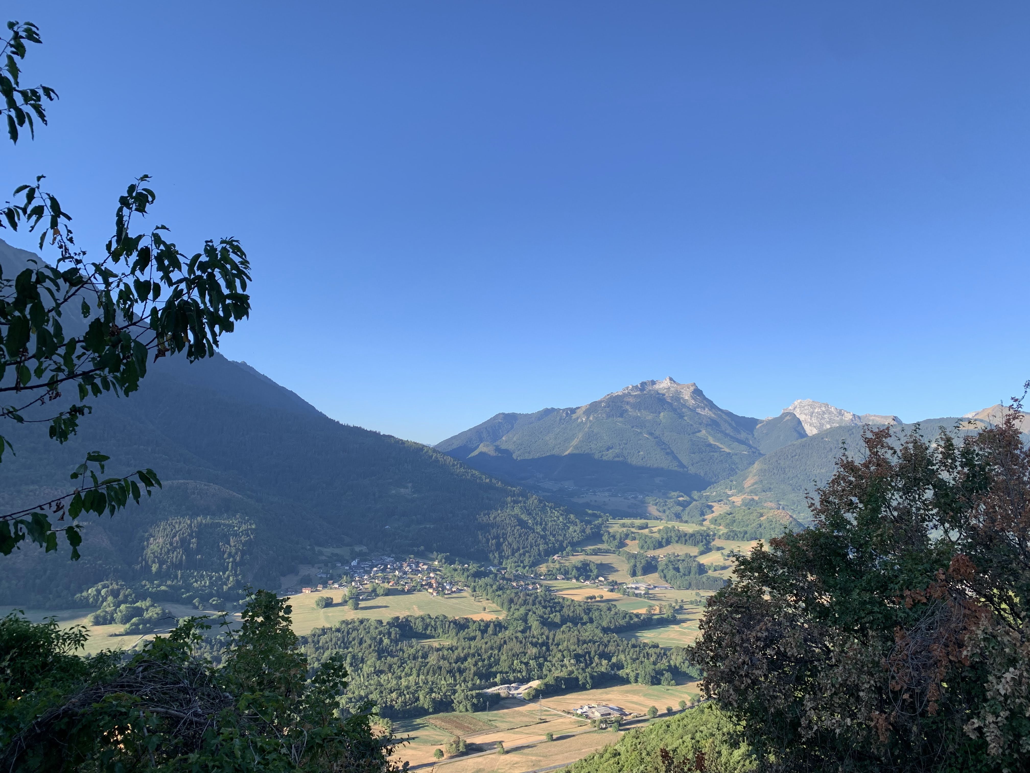
Hike: The Roc de Nantbellet
Val de Chaise
Distance
5.24 km
Positive elevation
191 m
Negative elevation
191 m
Max. altitude
1037 m
R
Hiking
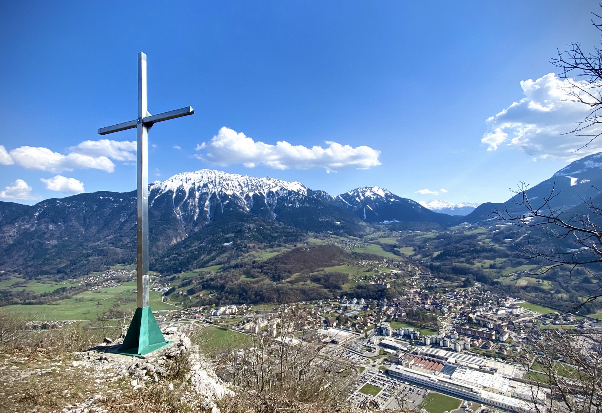
Hiking : Viuz's Roc
Saint-Ferréol
Distance
5.58 km
Positive elevation
524 m
Negative elevation
528 m
Max. altitude
997 m