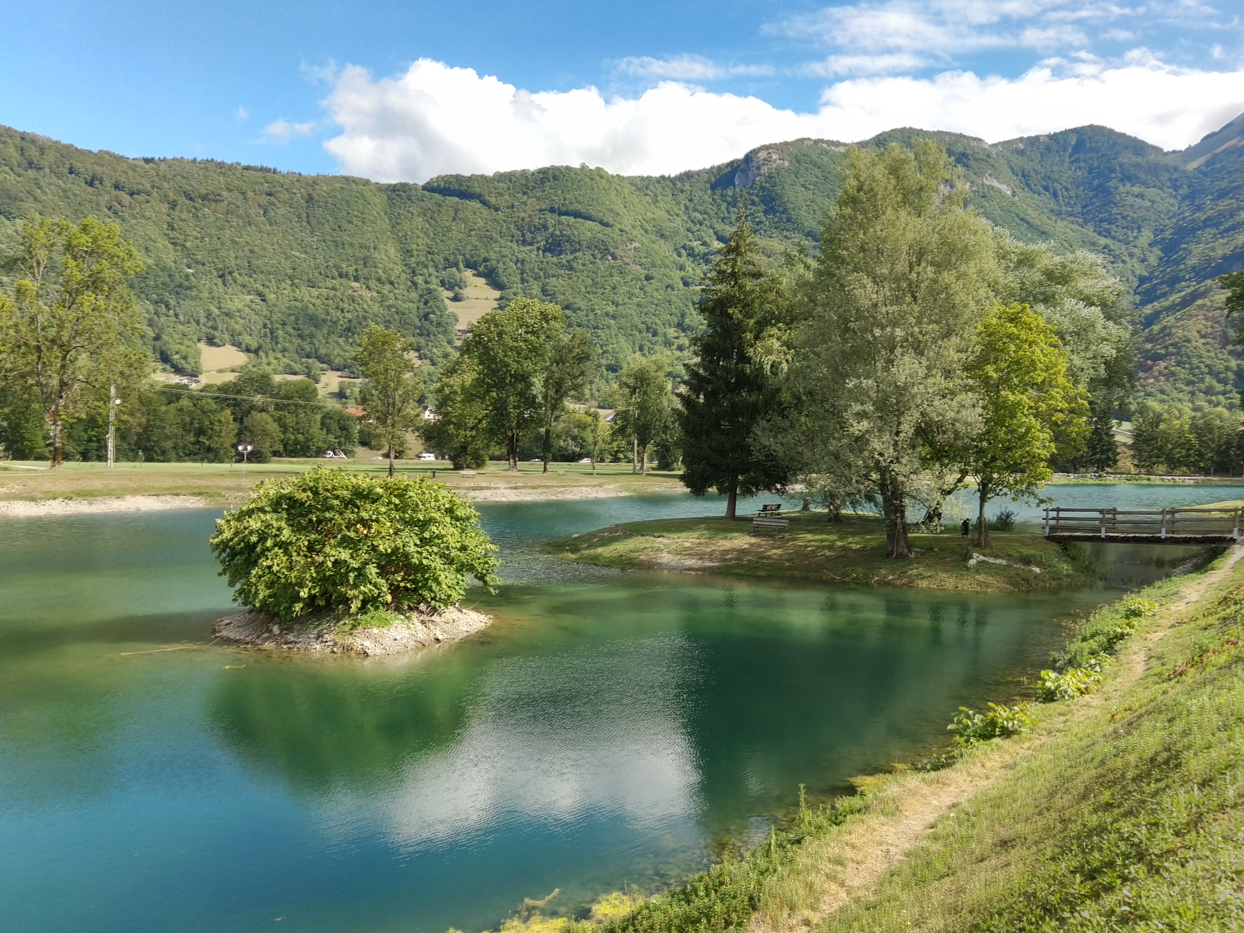
Sources du lac d’Annecy
Log in
Create an account
routes & spots
events
providers
Difficulty
Not secured
Easy
Medium
Hard
Very hard
Positive elevation
0 m
5000 m
Distance
0 km
150 km
It is not possible to select the difficulty at the same time as distance and elevation
Departure town
Chevaline
Doussard
Giez
Val de Chaise
More filters
See only open routes
4
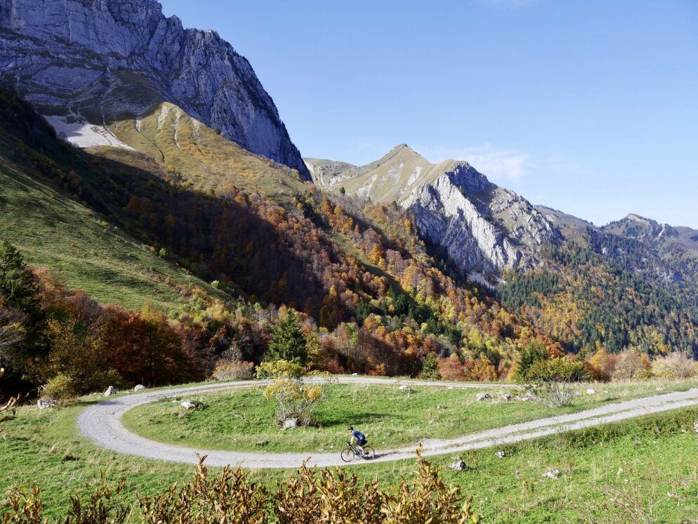
Hiking
Val de Chaise
Distance
825 m
Positive elevation
-
Negative elevation
-
Max. altitude
463 m
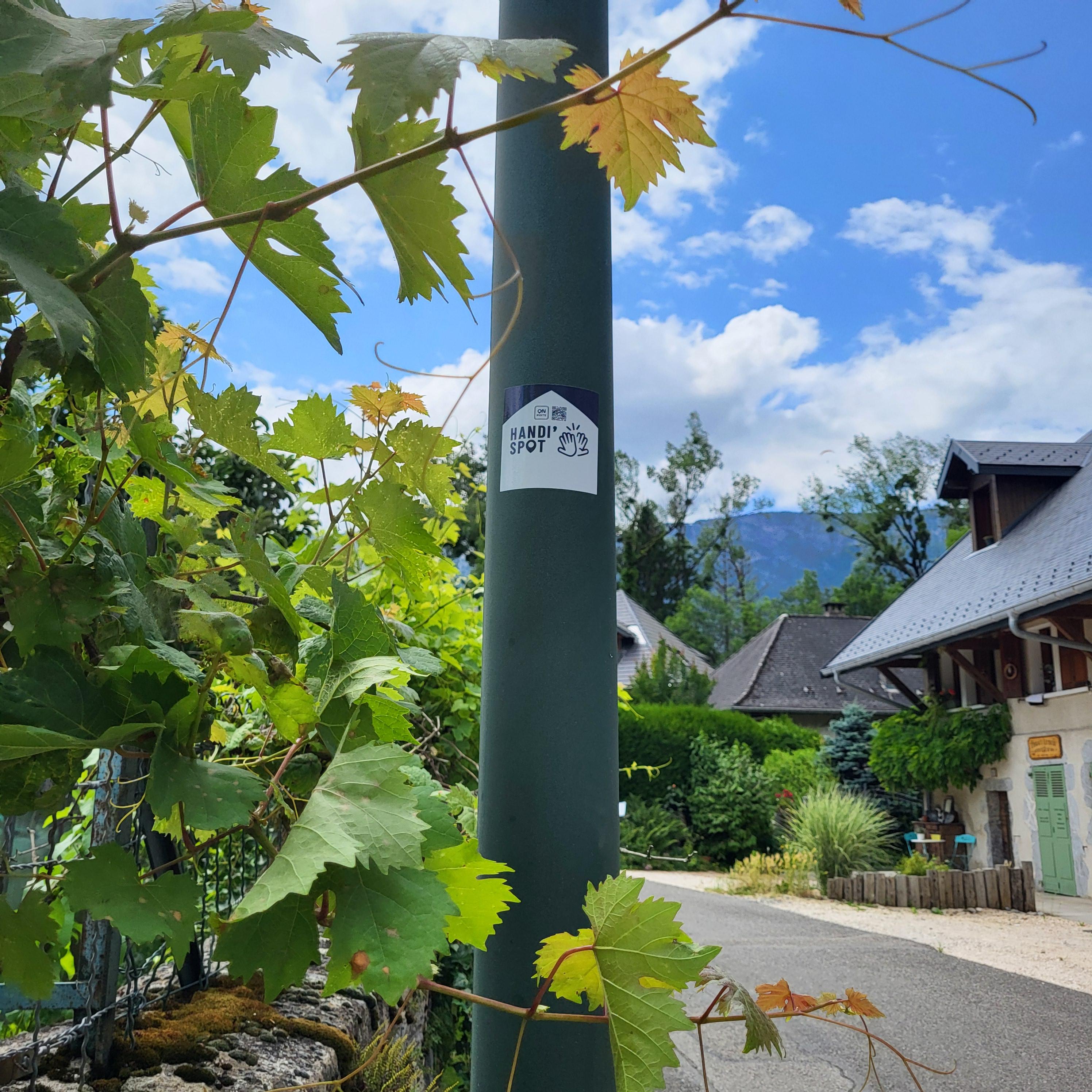
Handi'Spot
Parcours balisé ✅
+ 1
5
Hiking
Chevaline
Distance
7.88 km
Positive elevation
278 m
Negative elevation
278 m
Max. altitude
752 m
Handi'Spot
6
Hiking
Giez
Distance
7.57 km
Positive elevation
258 m
Negative elevation
258 m
Max. altitude
705 m
Handi'Spot
Parcours balisé ✅
+ 1
7
Hiking
Doussard
Distance
12.79 km
Positive elevation
216 m
Negative elevation
217 m
Max. altitude
615 m
Handi'Spot