Haut-Bugey - Montagnes du Jura
Log in
Create an account
routes & spots
events
providers
Difficulty
Not secured
Easy
Medium
Hard
Very hard
Positive elevation
0 m
5000 m
Distance
0 km
150 km
It is not possible to select the difficulty at the same time as distance and elevation
Departure town
Apremont
Aranc
Belleydoux
Bellignat
Brénod
Charix
Izernore
Le Poizat-Lalleyriat
Montréal-la-Cluse
Nantua
Oyonnax
Plateau d'Hauteville
Samognat
More filters
See only open routes
/
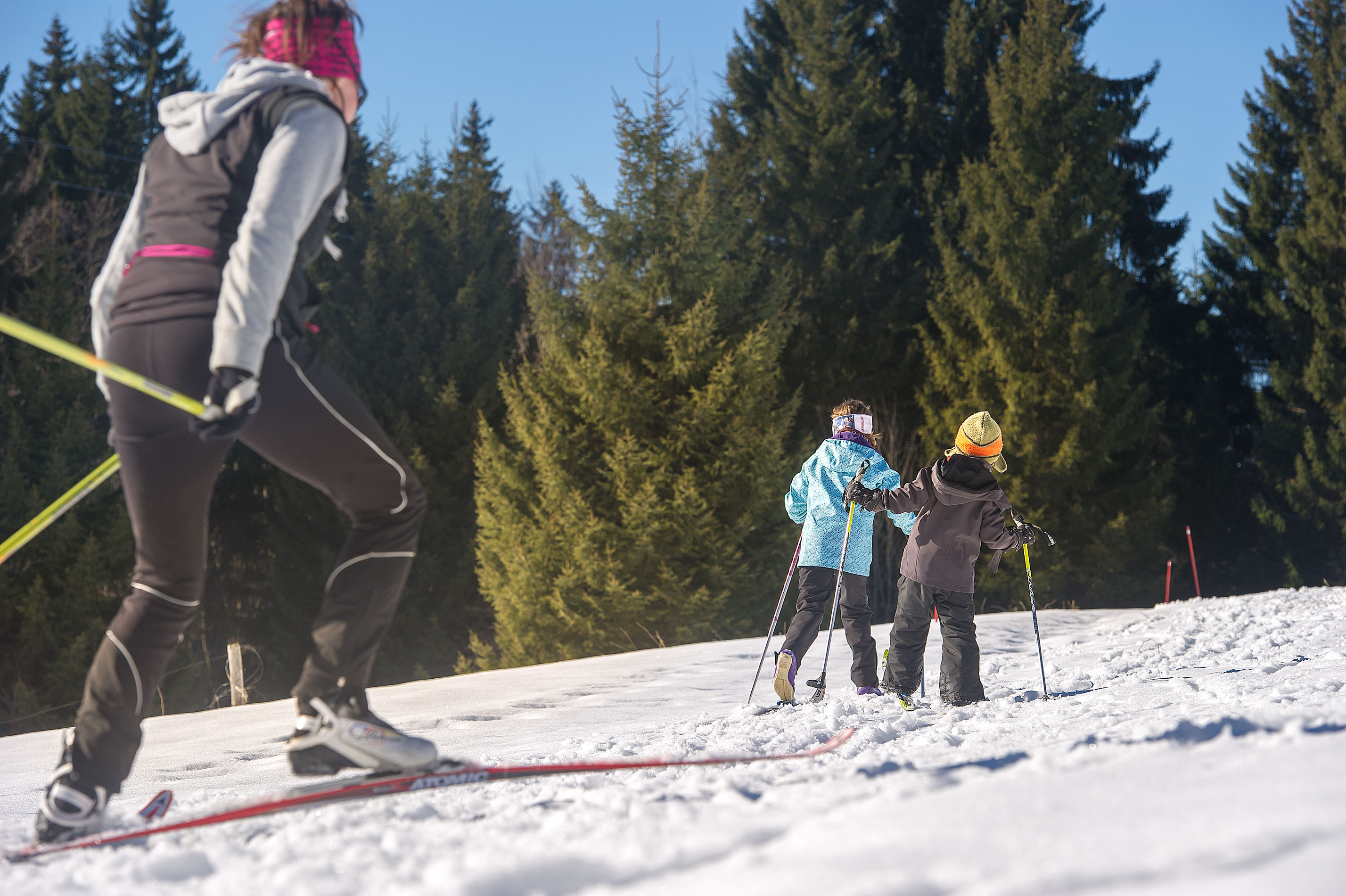
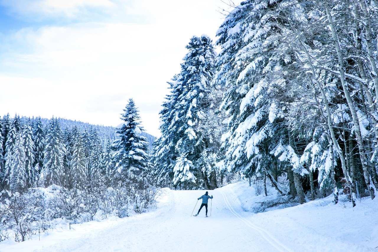
Snowshoes
Plateau d'Hauteville
Distance
3.35 km
Positive elevation
103 m
Negative elevation
104 m
Max. altitude
1102 m
/
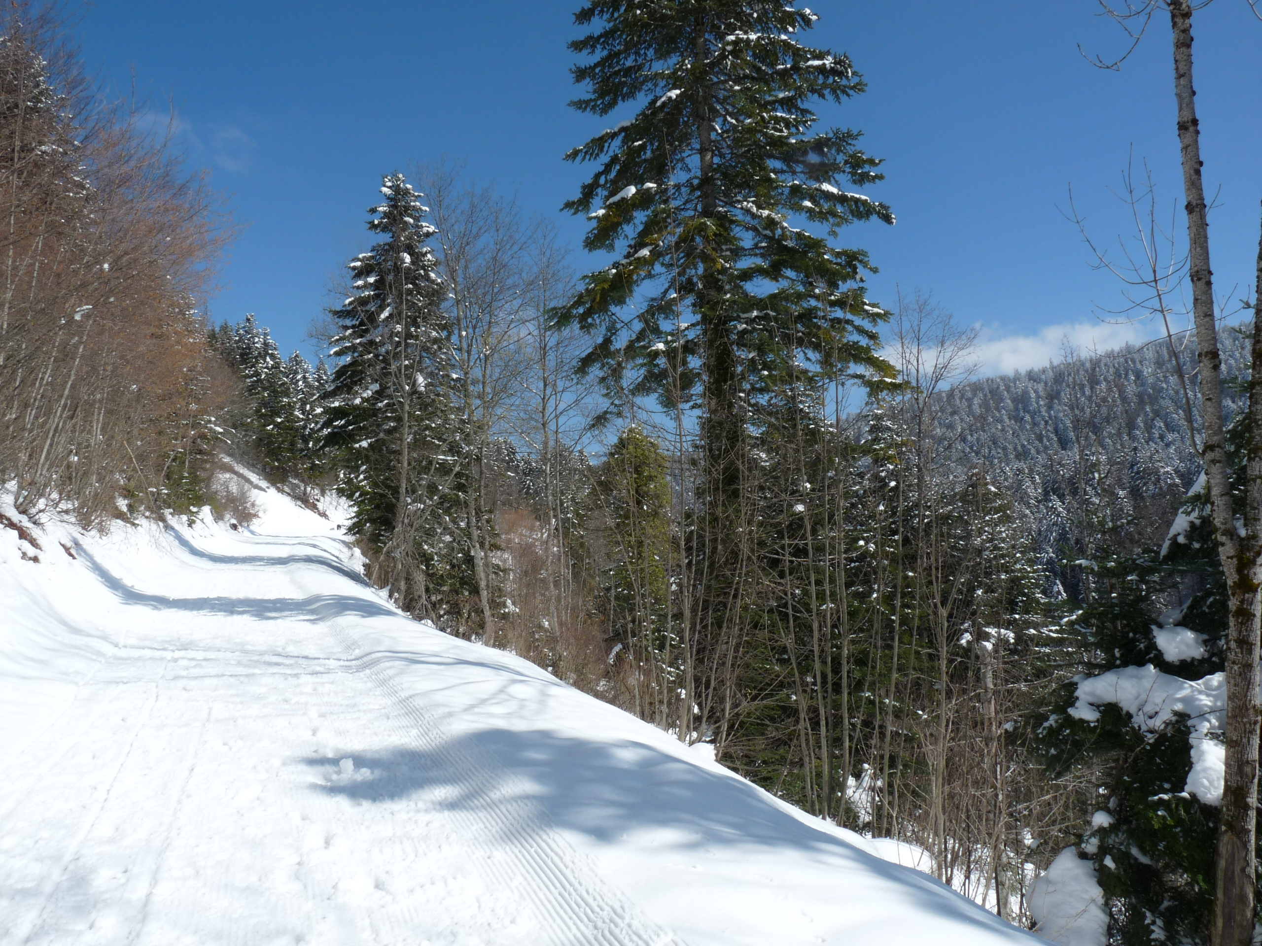
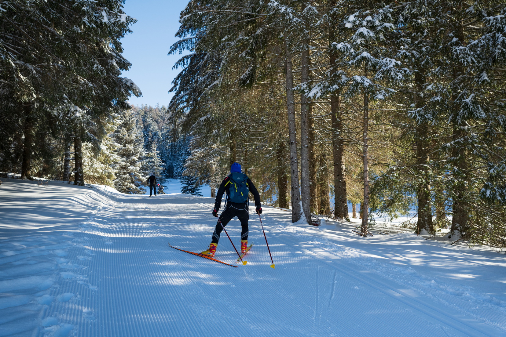
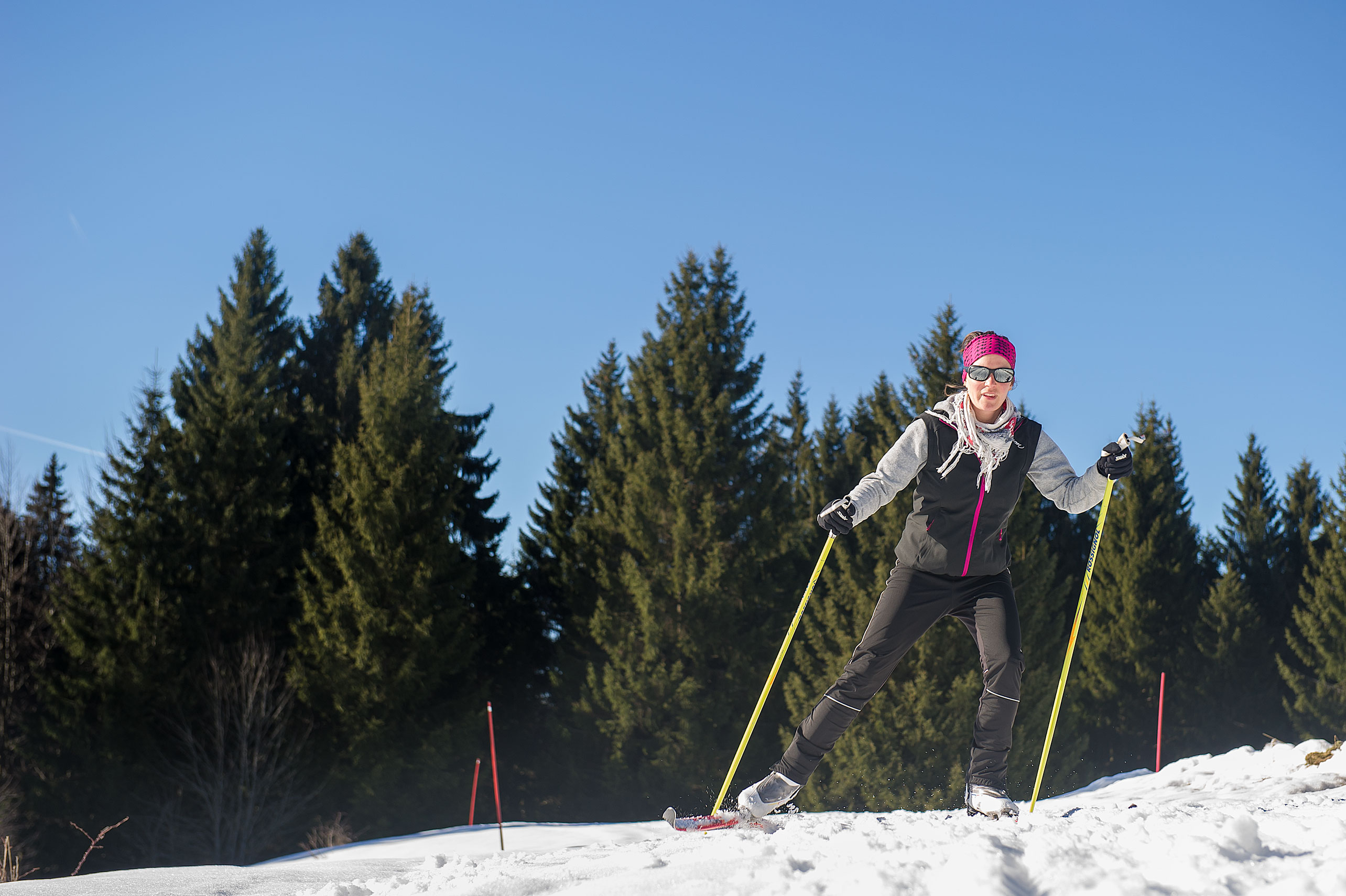
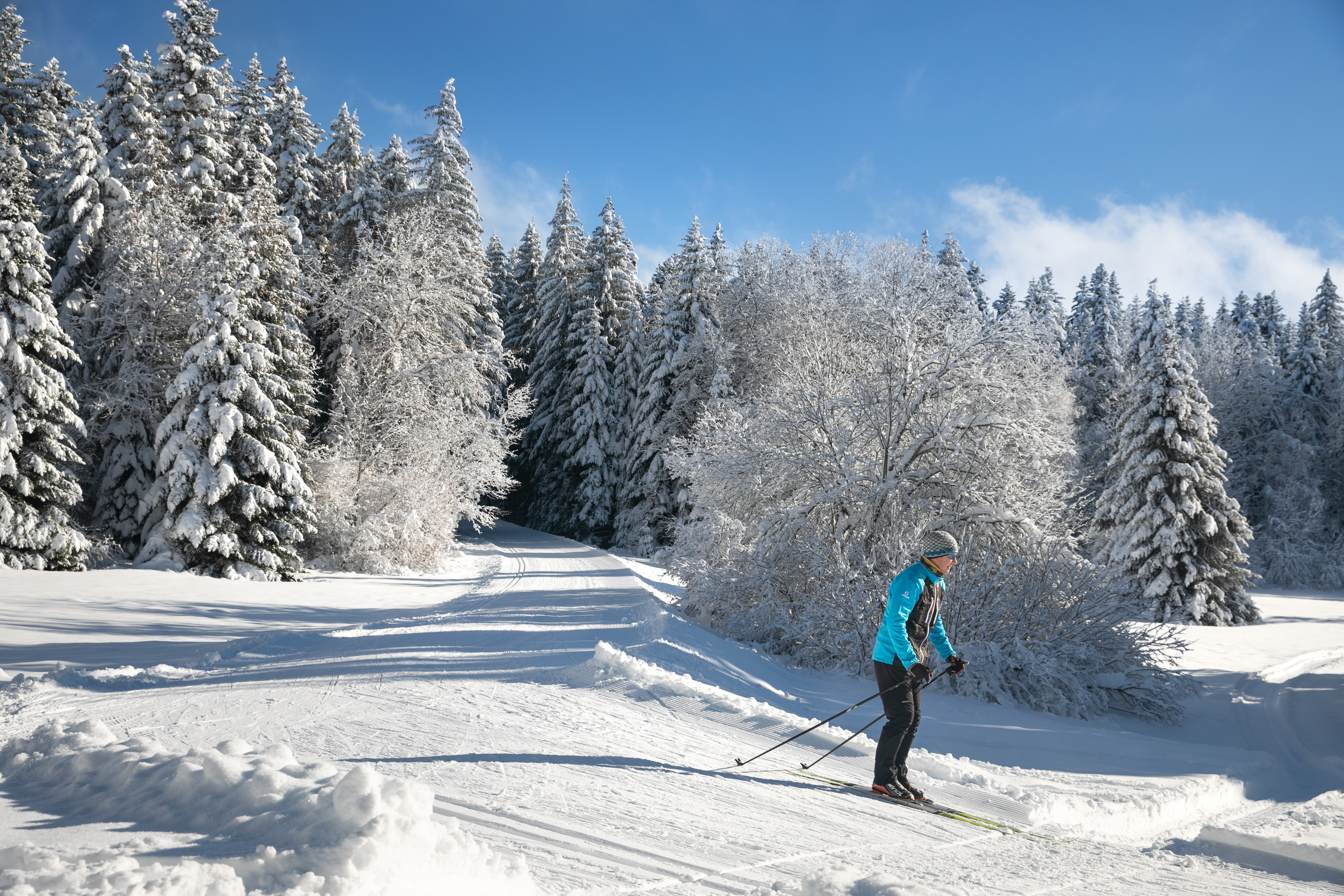
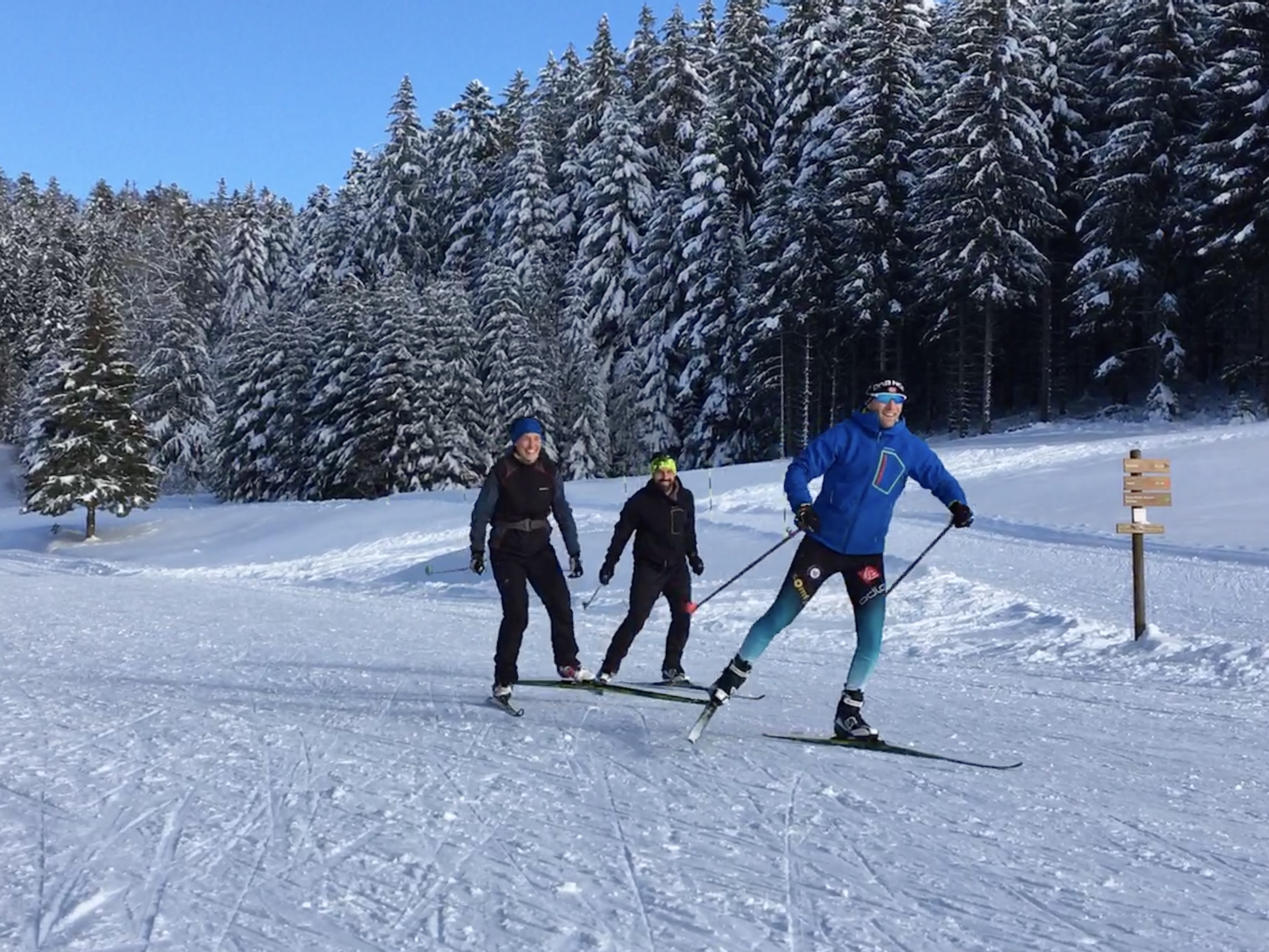
Cross country skiing
Belleydoux
Distance
3.84 km
Positive elevation
80 m
Negative elevation
79 m
Max. altitude
1003 m
/
Cross country skiing
Plateau d'Hauteville
Distance
3.50 km
Positive elevation
38 m
Negative elevation
33 m
Max. altitude
1117 m
/
Cross country skiing
Plateau d'Hauteville
Distance
2.44 km
Positive elevation
37 m
Negative elevation
37 m
Max. altitude
1118 m
/
Cross country skiing
Apremont
Distance
13.20 km
Positive elevation
246 m
Negative elevation
245 m
Max. altitude
1015 m
/
Snowshoes
Charix
Distance
7.64 km
Positive elevation
205 m
Negative elevation
201 m
Max. altitude
1017 m
/
Cross country skiing
Apremont
Distance
7.22 km
Positive elevation
128 m
Negative elevation
128 m
Max. altitude
999 m
/
Cross country skiing
Plateau d'Hauteville
Distance
15.52 km
Positive elevation
297 m
Negative elevation
297 m
Max. altitude
1192 m
/
Cross country skiing
Plateau d'Hauteville
Distance
1.30 km
Positive elevation
19 m
Negative elevation
19 m
Max. altitude
1102 m
/
Cross country skiing
Plateau d'Hauteville
Distance
4.41 km
Positive elevation
54 m
Negative elevation
55 m
Max. altitude
1121 m
/
Cross country skiing
Plateau d'Hauteville
Distance
7.10 km
Positive elevation
192 m
Negative elevation
192 m
Max. altitude
1175 m
/
Snowshoes
Plateau d'Hauteville
Distance
6.42 km
Positive elevation
189 m
Negative elevation
189 m
Max. altitude
1090 m