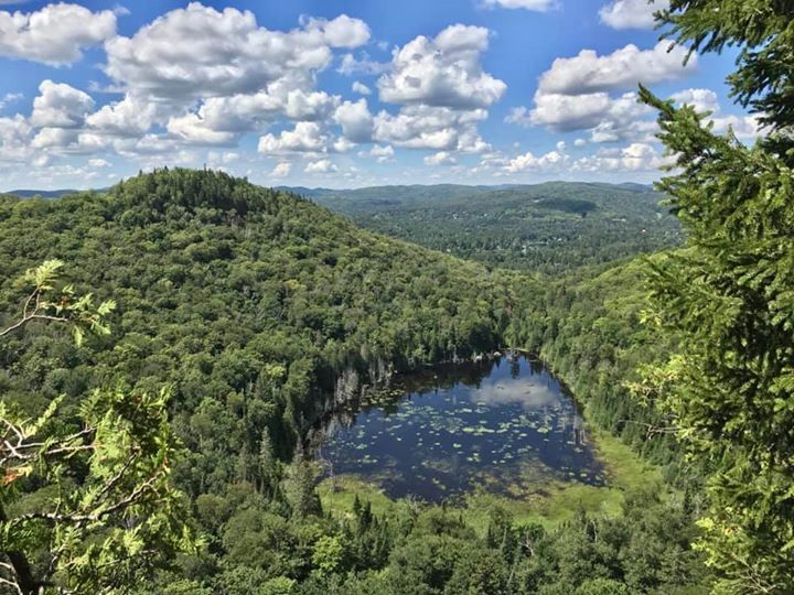
Val-David / Val-Morin
Log in
Create an account
routes & spots
events
providers
Difficulty
Not secured
Easy
Medium
Hard
Very hard
Positive elevation
0 m
5000 m
Distance
0 km
150 km
It is not possible to select the difficulty at the same time as distance and elevation
Departure town
Val-David
Val-Morin
More filters
See only open routes
Delete the search
1
Hiking
Tour du Condor
Val-David
Distance
3.92 km
Positive elevation
149 m
Negative elevation
147 m
Max. altitude
450 m
2
Hiking
La Gélinotte
Val-Morin
Distance
4.19 km
Positive elevation
116 m
Negative elevation
122 m
Max. altitude
449 m
3
Hiking
Renard
Val-Morin
Distance
1.44 km
Positive elevation
45 m
Negative elevation
41 m
Max. altitude
444 m
4
Hiking
Sentier Familial
Val-Morin
Distance
2.83 km
Positive elevation
43 m
Negative elevation
41 m
Max. altitude
428 m
7
Hiking
King et Condor
Val-David
Distance
6.33 km
Positive elevation
182 m
Negative elevation
179 m
Max. altitude
447 m
9
Hiking
Amigo Condor
Val-David
Distance
8.24 km
Positive elevation
243 m
Negative elevation
238 m
Max. altitude
473 m
13
Hiking
Césaire Condor
Val-David
Distance
7.77 km
Positive elevation
271 m
Negative elevation
261 m
Max. altitude
468 m
26
Hiking
Boucle Mont-King
Val-Morin
Distance
6.55 km
Positive elevation
177 m
Negative elevation
181 m
Max. altitude
472 m
Closed