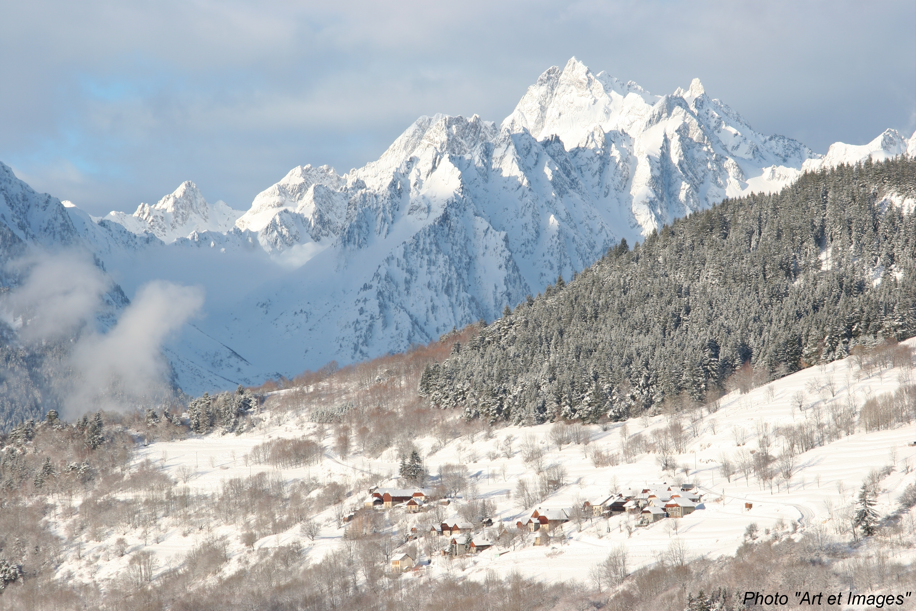
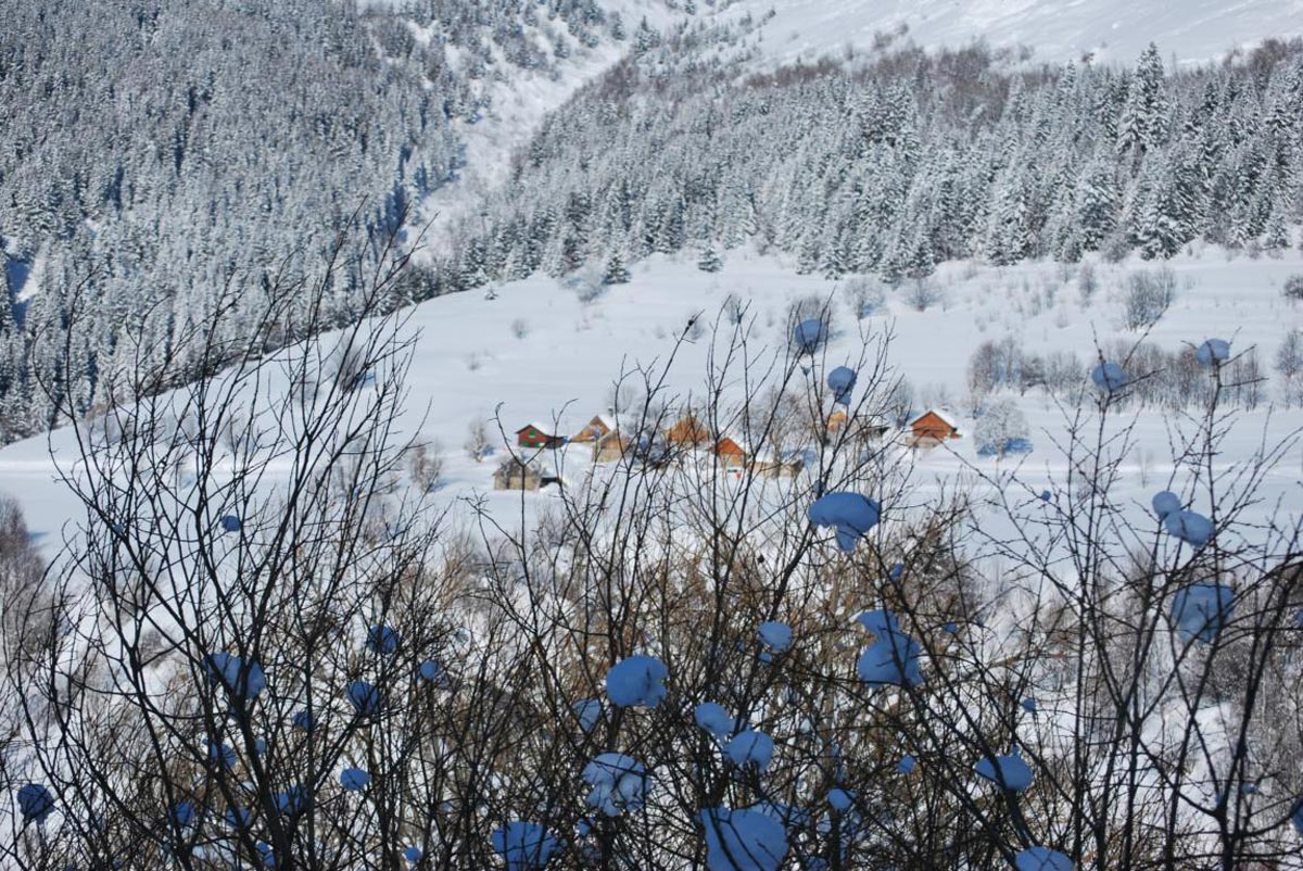
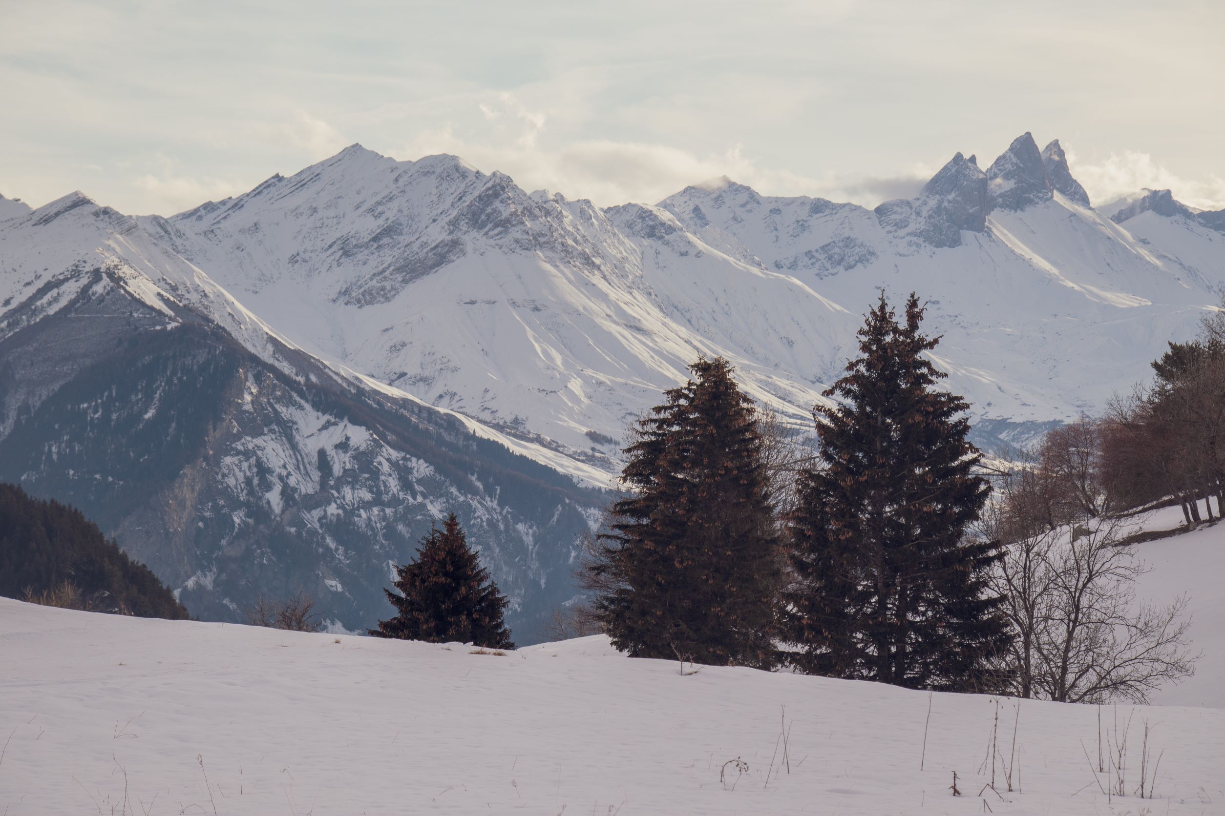
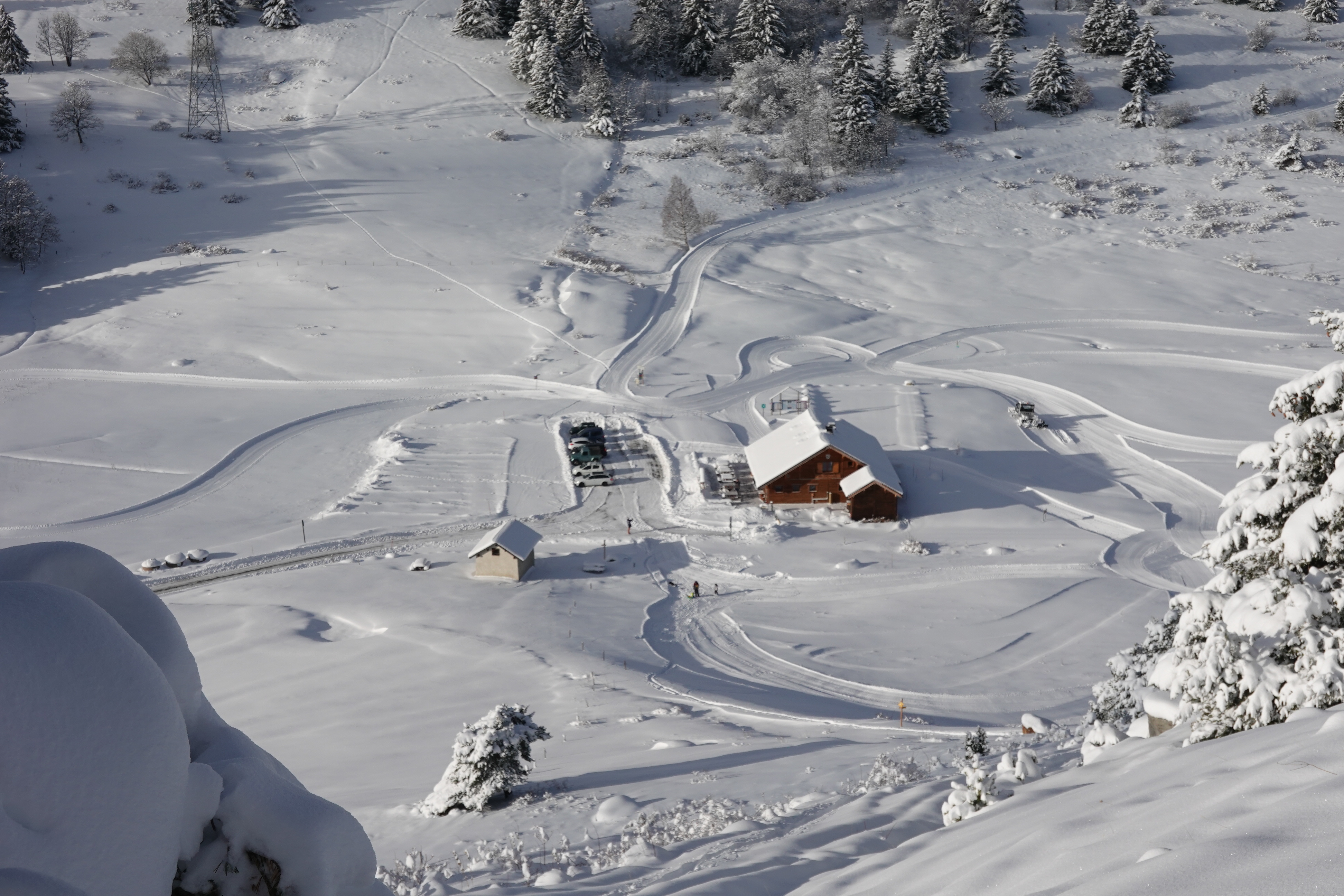
Saint François Longchamp
Log in
Create an account
routes & spots
events
providers
Difficulty
Not secured
Easy
Medium
Hard
Very hard
Positive elevation
0 m
5000 m
Distance
0 km
150 km
It is not possible to select the difficulty at the same time as distance and elevation
Departure town
La Tour-en-Maurienne
Saint-François-Longchamp
More filters
See only open routes
Delete the search
/
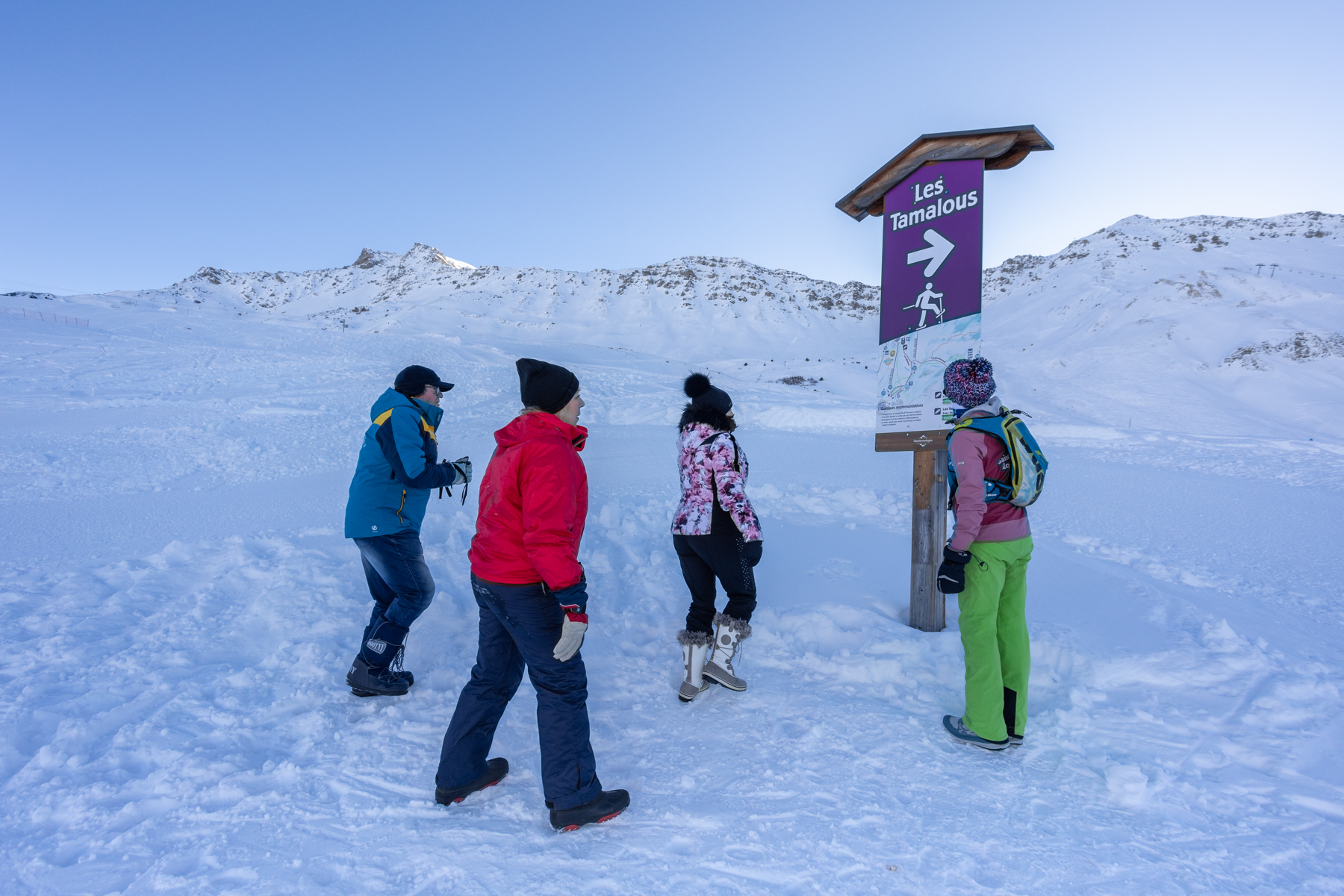
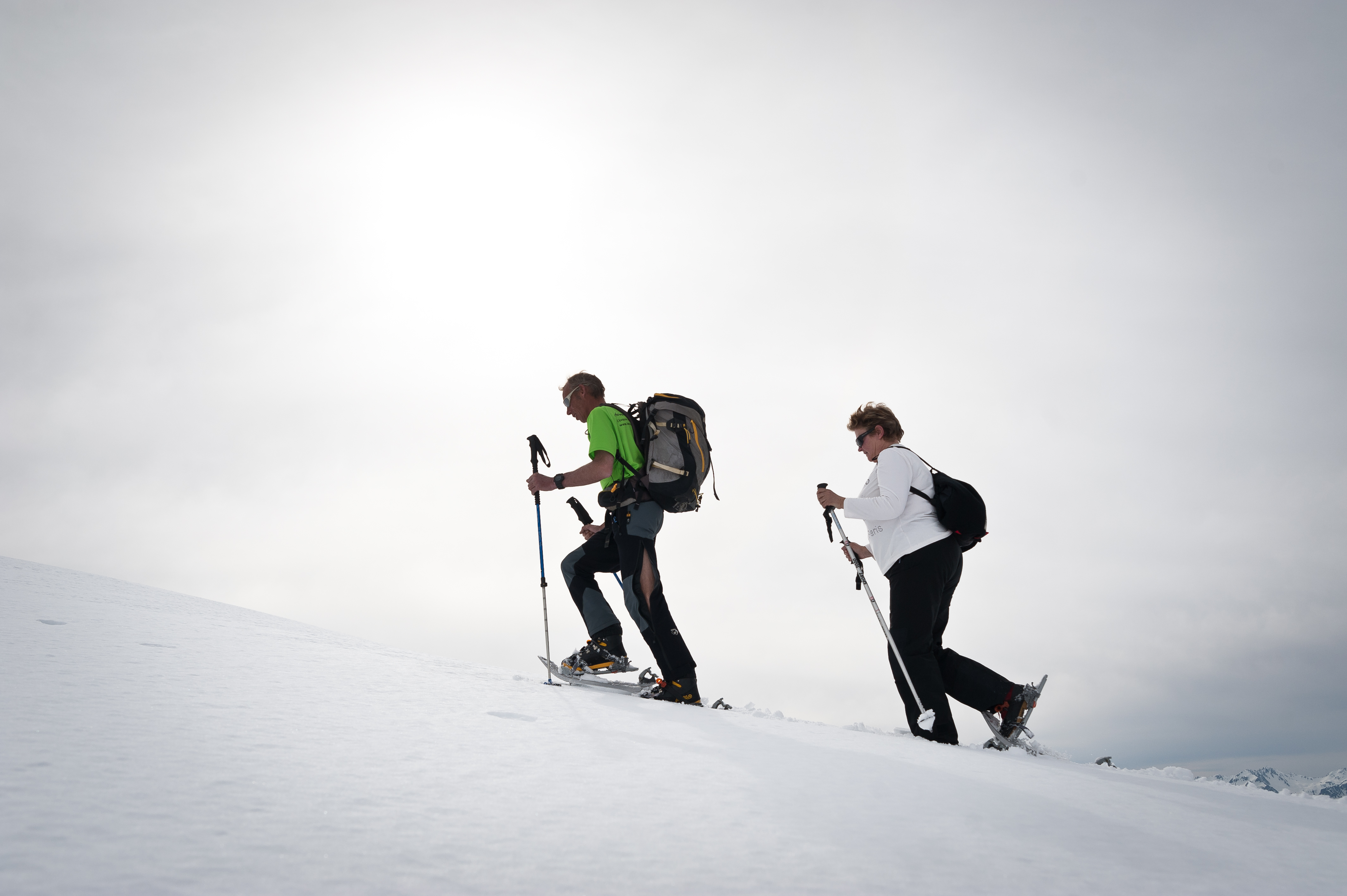
Snowshoes
Pedestrian itinerary in the ski area - "Les Tamalous"
Saint-François-Longchamp
Distance
2.32 km
Positive elevation
-
Negative elevation
380 m
Max. altitude
1982 m
Closed
1
Snowshoes
Snowshoeing itinerary "Le Chemin des Hameaux" (1)
Saint-François-Longchamp
Distance
1.46 km
Positive elevation
18 m
Negative elevation
174 m
Max. altitude
1707 m
Closed
2
Snowshoes
Snowshoeing itinerary - Le sentier des Paquiers (2)
Saint-François-Longchamp
Distance
2.36 km
Positive elevation
16 m
Negative elevation
229 m
Max. altitude
1576 m
Closed
3
Snowshoes
Snowshoeing itinerary "Le Sentier du Bugeon" (3)
Saint-François-Longchamp
Distance
1.26 km
Positive elevation
6 m
Negative elevation
51 m
Max. altitude
1577 m
Closed
4
Snowshoes
Snowshoeing itinerary - Snowshoeing itinerary - " Chemin de 1450" (4)
Saint-François-Longchamp
Distance
2.77 km
Positive elevation
9 m
Negative elevation
217 m
Max. altitude
1597 m
Closed
7
Snowshoes
The Heights of Montaimont
Saint-François-Longchamp
Distance
2.01 km
Positive elevation
175 m
Negative elevation
174 m
Max. altitude
1285 m
Closed
8
Snowshoes
Between forest and mountain pastures
Saint-François-Longchamp
Distance
5.69 km
Positive elevation
393 m
Negative elevation
379 m
Max. altitude
1473 m
Closed
9
Snowshoes
The slopes of Bonvillard
Saint-François-Longchamp
Distance
7.85 km
Positive elevation
255 m
Negative elevation
256 m
Max. altitude
1516 m
Closed
10
Snowshoes
Boucle du Lac du Loup
Saint-François-Longchamp
Distance
4.52 km
Positive elevation
197 m
Negative elevation
197 m
Max. altitude
1518 m
Closed
11
Snowshoes
Les Alpages du Chaussy on the Bonvillard side
La Tour-en-Maurienne
Distance
7.00 km
Positive elevation
273 m
Negative elevation
278 m
Max. altitude
1534 m
Closed