Pays Voironnais
Sign up for the newsletter
Explore
Log in
Create an account
routes & spots
events
providers
Difficulty
Not secured
Easy
Medium
Hard
Very hard
Positive elevation
0 m
5000 m
Distance
0 km
150 km
It is not possible to select the difficulty at the same time as distance and elevation
Departure town
Bilieu
Charavines
Merlas
Rives
Saint-Aupre
Saint-Geoire-en-Valdaine
Tullins
Villages du Lac de Paladru
Voiron
Voreppe
More filters
See only open routes
Delete the search
/
Hiking
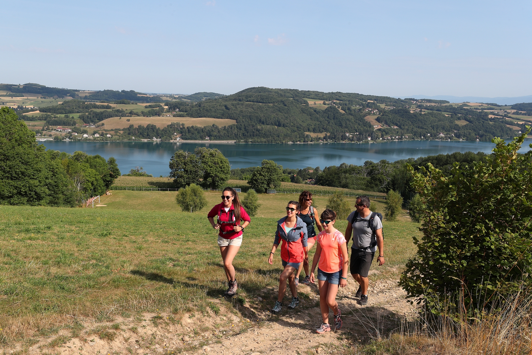
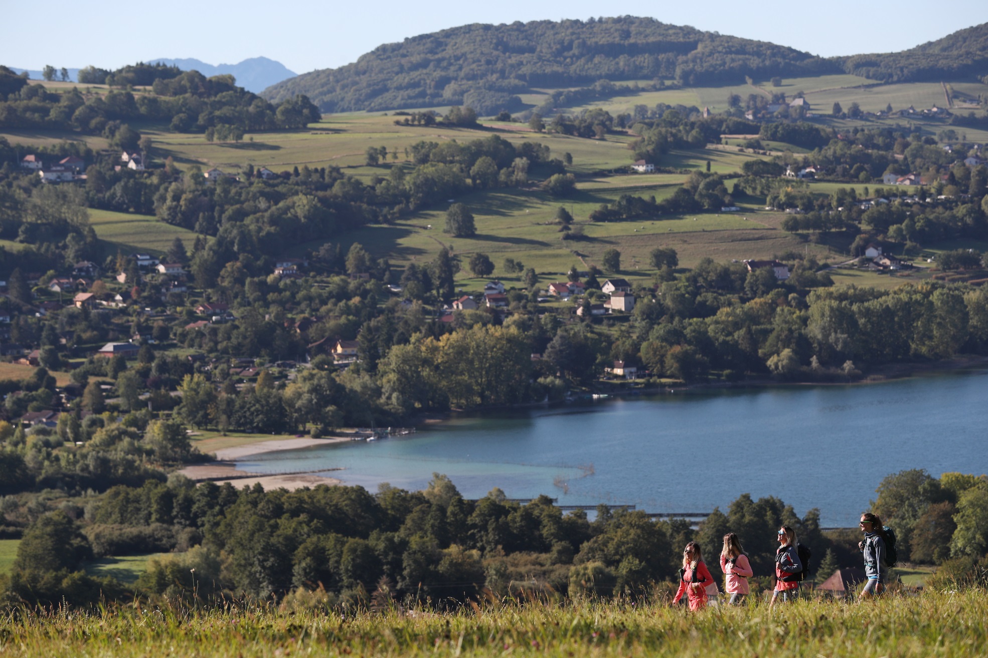
Hiking trail: La Croix des Cochettes, a view of Lake Paladru
Bilieu
Distance
2.87 km
Positive elevation
107 m
Negative elevation
111 m
Max. altitude
725 m
/
Hiking
Voiron
Distance
8.52 km
Positive elevation
417 m
Negative elevation
416 m
Max. altitude
673 m
/
Hiking
Saint-Aupre
Distance
13.70 km
Positive elevation
525 m
Negative elevation
511 m
Max. altitude
911 m
/
Hiking
Walking trail: The valley of the Fure
Rives
Distance
7.36 km
Positive elevation
111 m
Negative elevation
112 m
Max. altitude
412 m
/
Hiking
Walking trail: Country châteaux
Saint-Geoire-en-Valdaine
Distance
14.19 km
Positive elevation
400 m
Negative elevation
404 m
Max. altitude
686 m
/
Hiking
Walking trail: Saint Sixte crypt
Merlas
Distance
6.09 km
Positive elevation
261 m
Negative elevation
269 m
Max. altitude
734 m
/
Hiking
Walking trail: Vouise Mountain
Voiron
Distance
6.78 km
Positive elevation
427 m
Negative elevation
426 m
Max. altitude
724 m
/
Hiking
Tullins
Distance
14.23 km
Positive elevation
669 m
Negative elevation
671 m
Max. altitude
761 m
/
Hiking
Walking trail: Roche Corbière Gorges
Tullins
Distance
4.27 km
Positive elevation
98 m
Negative elevation
99 m
Max. altitude
350 m
/
Hiking
Walking trail: In the footsteps of the Carthusian Monks starting from Charavines
Charavines
Distance
9.95 km
Positive elevation
194 m
Negative elevation
194 m
Max. altitude
617 m
/
Hiking
Villages du Lac de Paladru
Distance
16.05 km
Positive elevation
393 m
Negative elevation
394 m
Max. altitude
683 m
/
Hiking
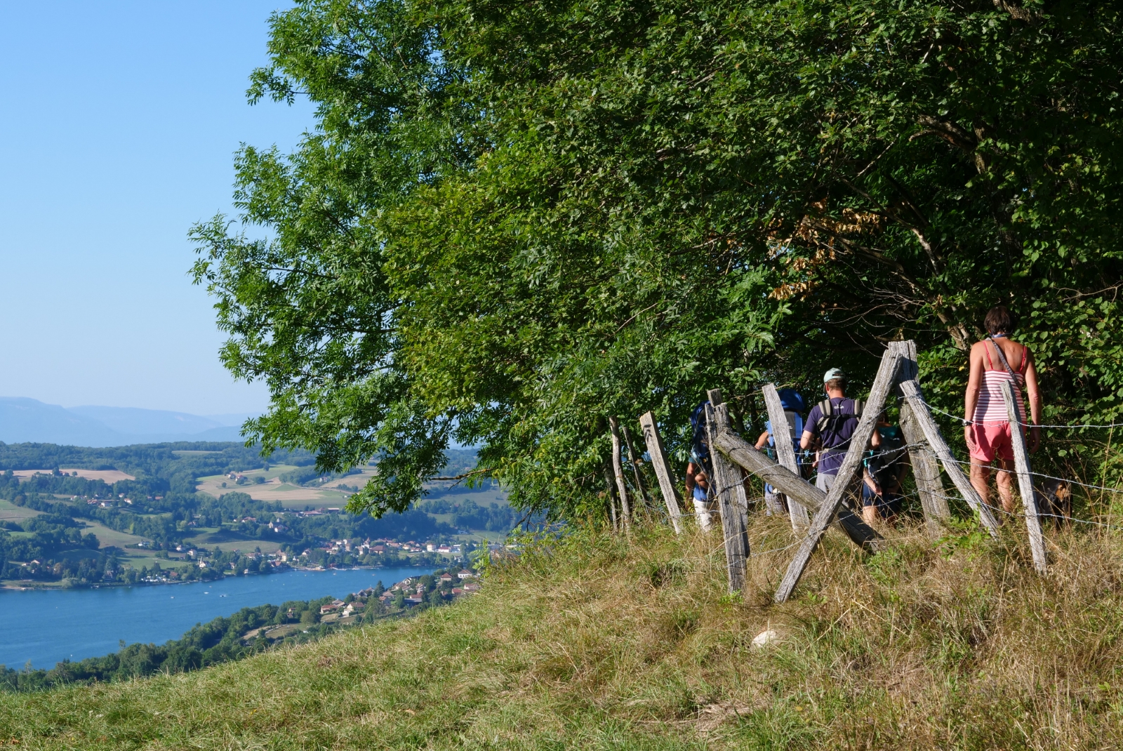
The tour of Lake Paladru
Charavines
Distance
21.32 km
Positive elevation
550 m
Negative elevation
550 m
Max. altitude
716 m