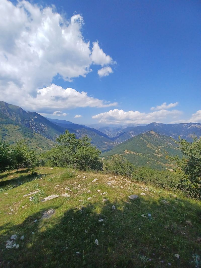
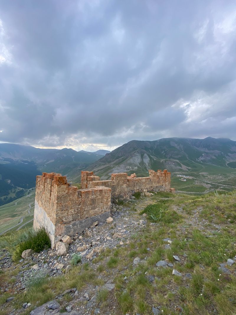
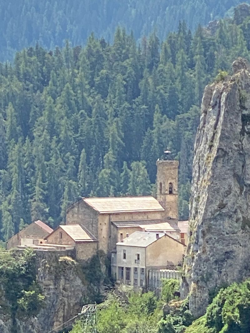
Parc National du Mercantour
Log in
Create an account
routes & spots
events
providers
Difficulty
Not secured
Easy
Medium
Hard
Very hard
Positive elevation
0 m
5000 m
Distance
0 km
150 km
It is not possible to select the difficulty at the same time as distance and elevation
Departure town
Allos
Belvédère
Breil-sur-Roya
Châteauneuf-d'Entraunes
Colmars
Daluis
Entraunes
Isola
Jausiers
Limone Piemonte
Moulinet
Péone
Roubion
Saint-Dalmas-le-Selvage
Saint-Martin-Vésubie
Saint-Pons
Tende
Uvernet-Fours
Val-d'Oronaye
Valdeblore
Vinadio
More filters
See only open routes
1
Hiking
Lac de Beuil
Péone
Distance
9.15 km
Positive elevation
131 m
Negative elevation
129 m
Max. altitude
1759 m
Handi'Spot
2
Hiking
Col des trentes souches
Châteauneuf-d'Entraunes
Distance
6.72 km
Positive elevation
375 m
Negative elevation
376 m
Max. altitude
2032 m
Handi'Spot
3
Hiking
Le point sublime
Daluis
Distance
3.99 km
Positive elevation
249 m
Negative elevation
233 m
Max. altitude
956 m
Handi'Spot
4
Hiking
Lac d’Estenc
Entraunes
Distance
2.10 km
Positive elevation
77 m
Negative elevation
76 m
Max. altitude
1855 m
Handi'Spot
5
Hiking
Le moulin de la Barlatte
Châteauneuf-d'Entraunes
Distance
7.18 km
Positive elevation
390 m
Negative elevation
386 m
Max. altitude
1362 m
Handi'Spot
6
Hiking
Refuge de Fontanalbe
Tende
Distance
10.23 km
Positive elevation
488 m
Negative elevation
485 m
Max. altitude
2015 m
Handi'Spot
7
Hiking
Authion
Moulinet
Distance
8.98 km
Positive elevation
261 m
Negative elevation
241 m
Max. altitude
2024 m
Handi'Spot
8
Hiking
Peyrefique
Tende
Distance
10.73 km
Positive elevation
521 m
Negative elevation
520 m
Max. altitude
2036 m
Handi'Spot
9
Hiking
Les forts du Col de Tende
Limone Piemonte
Distance
14.38 km
Positive elevation
519 m
Negative elevation
518 m
Max. altitude
2279 m
Handi'Spot
10
Hiking
Mont gros
Breil-sur-Roya
Distance
6.43 km
Positive elevation
415 m
Negative elevation
411 m
Max. altitude
1234 m
Handi'Spot
11
Hiking
Mont des Fourches
Saint-Dalmas-le-Selvage
Distance
2.47 km
Positive elevation
72 m
Negative elevation
73 m
Max. altitude
2313 m
Handi'Spot
12
Hiking
Vignols
Roubion
Distance
14.73 km
Positive elevation
449 m
Negative elevation
449 m
Max. altitude
1634 m
Handi'Spot