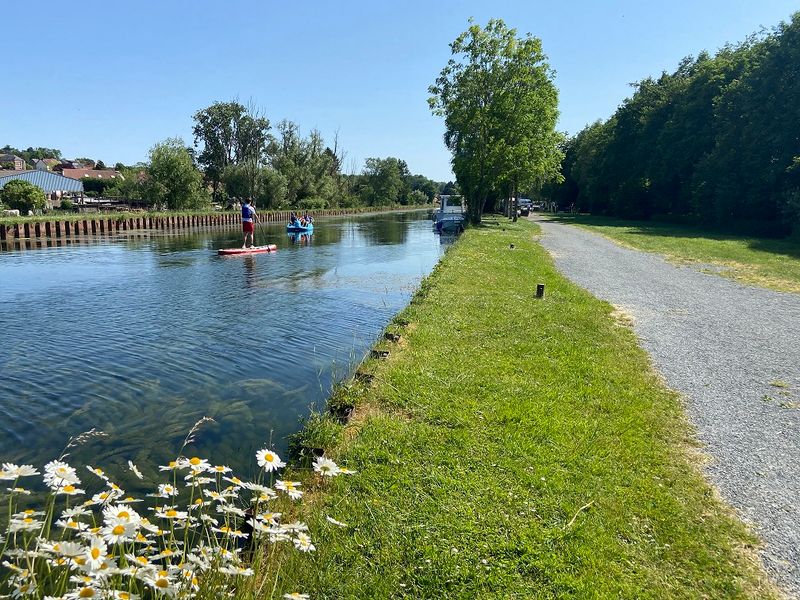
La Somme
Log in
Create an account
routes & spots
events
providers
Difficulty
Not secured
Easy
Medium
Hard
Very hard
Positive elevation
0 m
5000 m
Distance
0 km
150 km
It is not possible to select the difficulty at the same time as distance and elevation
Departure town
Abbeville
Albert
Andainville
Athies
Auchonvillers
Ault
Authie
Boismont
Cappy
Cayeux-sur-Mer
Corbie
Creuse
Crécy-en-Ponthieu
Favières
Fay
Fontaine-le-Sec
Fort-Mahon-Plage
Guizancourt
La Chaussée-Tirancourt
Le Hamel
Péronne
Regnière-Écluse
Saint-Léger-lès-Domart
Saint-Quentin-en-Tourmont
Saint-Riquier
Thiepval
More filters
See only open routes
Delete the search
1
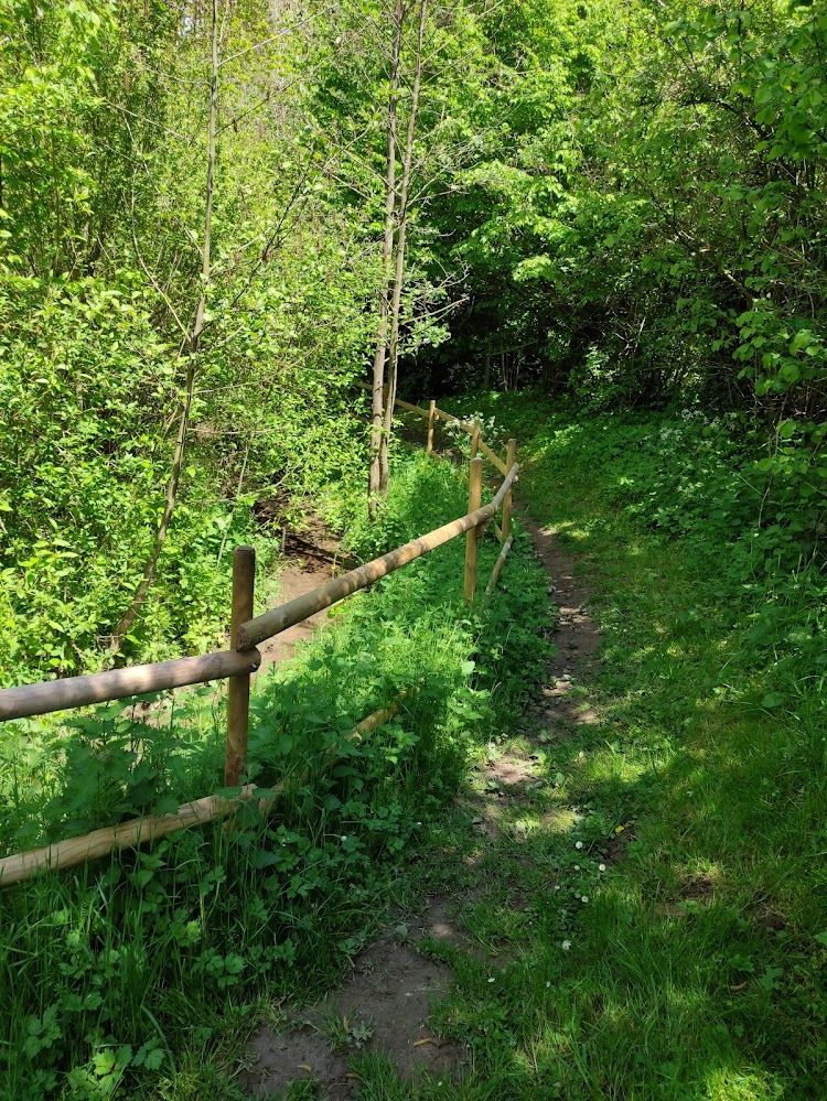
Hiking
La Régale
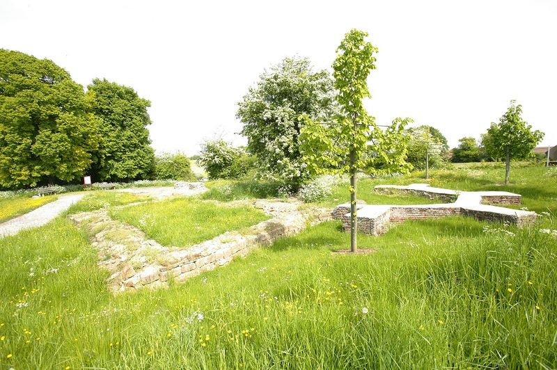
Fay
Distance
8.92 km
Positive elevation
51 m
Negative elevation
53 m
Max. altitude
79 m
Handi'Spot
2
Hiking
Circuit de Morlay
Favières
Distance
12.39 km
Positive elevation
12 m
Negative elevation
12 m
Max. altitude
5 m
Handi'Spot
3
Hiking
Balade Centuloise
Saint-Riquier
Distance
8.75 km
Positive elevation
100 m
Negative elevation
98 m
Max. altitude
70 m
Handi'Spot
4
Hiking
Le bois de la Faude
Fontaine-le-Sec
Distance
13.57 km
Positive elevation
164 m
Negative elevation
160 m
Max. altitude
125 m
Handi'Spot
5
Hiking
Le parcours du Chevreuil
Creuse
Distance
5.04 km
Positive elevation
78 m
Negative elevation
78 m
Max. altitude
133 m
Handi'Spot
6
Hiking
Les 2 chapelles
Le Hamel
Distance
8.38 km
Positive elevation
99 m
Negative elevation
103 m
Max. altitude
90 m
Handi'Spot
7
Hiking
L’arbre de la Croix
Saint-Léger-lès-Domart
Distance
6.31 km
Positive elevation
108 m
Negative elevation
108 m
Max. altitude
115 m
Handi'Spot
8
Hiking
La vallée de la marche verte
Athies
Distance
10.43 km
Positive elevation
82 m
Negative elevation
81 m
Max. altitude
78 m
Handi'Spot
9
Hiking
Les Malaquettes
Cappy
Distance
8.32 km
Positive elevation
56 m
Negative elevation
55 m
Max. altitude
79 m
Handi'Spot
10
Hiking
Autour du Prieuré d’Authie
Authie
Distance
10.08 km
Positive elevation
133 m
Negative elevation
132 m
Max. altitude
146 m
Handi'Spot
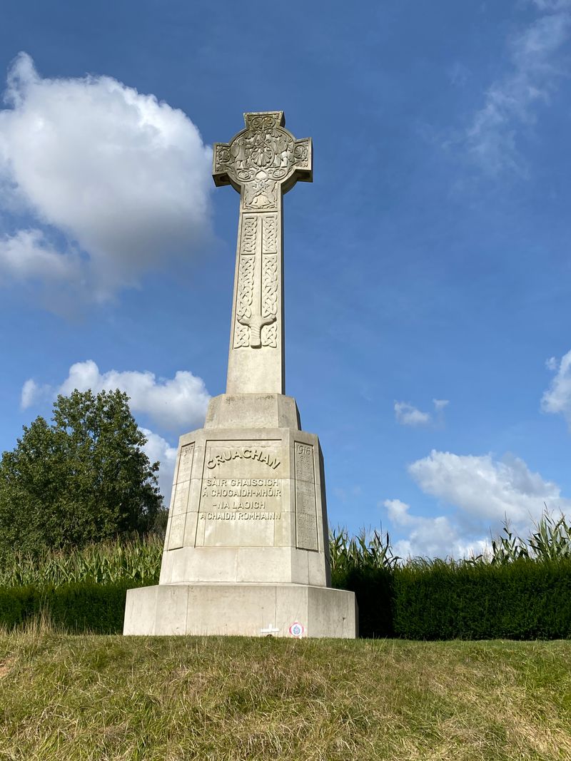
11
Hiking
Le Caribou
Auchonvillers
Distance
8.17 km
Positive elevation
71 m
Negative elevation
71 m
Max. altitude
150 m
Handi'Spot
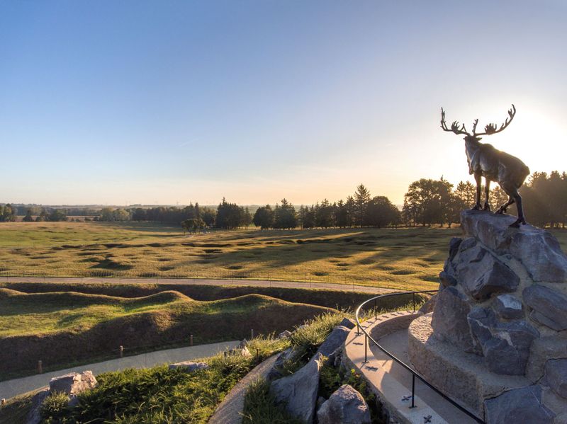
12
Hiking
Autour du Mémorial de Thiepval
Thiepval
Distance
14.04 km
Positive elevation
200 m
Negative elevation
201 m
Max. altitude
149 m
Handi'Spot