Bagnoles Normandie
Sign up for the newsletter
Explore
Log in
Create an account
routes & spots
events
providers
Difficulty
Not secured
Easy
Medium
Hard
Very hard
Positive elevation
0 m
5000 m
Distance
0 km
150 km
It is not possible to select the difficulty at the same time as distance and elevation
Departure town
Bagnoles-de-l'Orne-Normandie
Domfront
Juvigny-Val-d'Andaine
More filters
See only open routes
Delete the search
1
Mountain bike
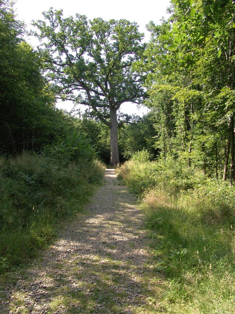
Les Tours de Domfront
Domfront
Distance
25.15 km
Positive elevation
355 m
Negative elevation
357 m
Max. altitude
256 m
Closed
3
Mountain bike
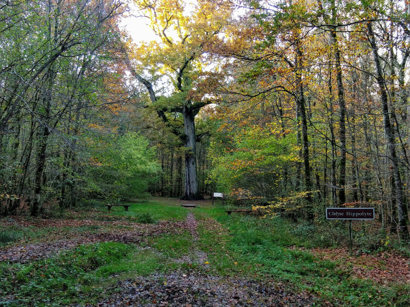
Le Mont Margantin
Domfront
Distance
30.99 km
Positive elevation
430 m
Negative elevation
434 m
Max. altitude
248 m
Under surveillance
7
Mountain bike
La voie Romaine vers Saint-Bomer
Domfront
Distance
24.50 km
Positive elevation
436 m
Negative elevation
436 m
Max. altitude
256 m
Closed
9
Mountain bike
L'abbaye
Domfront
Distance
29.06 km
Positive elevation
533 m
Negative elevation
535 m
Max. altitude
248 m
Closed
21
Mountain bike
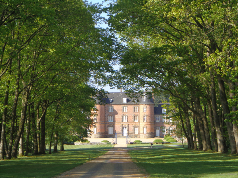
Château de Couterne
Bagnoles-de-l'Orne-Normandie
Distance
27.35 km
Positive elevation
366 m
Negative elevation
367 m
Max. altitude
237 m
22
Mountain bike
A l'Est de Bonvouloir
Juvigny-Val-d'Andaine
Distance
19.15 km
Positive elevation
275 m
Negative elevation
273 m
Max. altitude
267 m
23
Mountain bike
A l'Ouest de Bonvouloir
Juvigny-Val-d'Andaine
Distance
16.73 km
Positive elevation
251 m
Negative elevation
250 m
Max. altitude
275 m
Closed