Haute Ardèche - Lignon - Mezenc
Log in
Create an account
routes & spots
events
providers
Difficulty
Not secured
Easy
Medium
Hard
Very hard
Positive elevation
0 m
5000 m
Distance
0 km
150 km
It is not possible to select the difficulty at the same time as distance and elevation
Departure town
Le Chambon-sur-Lignon
Les Estables
Montfaucon-en-Velay
Rochepaule
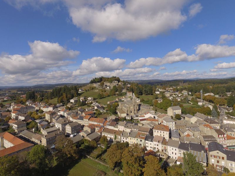
Saint-Agrève
Saint-Bonnet-le-Froid
Tence
More filters
See only open routes
1
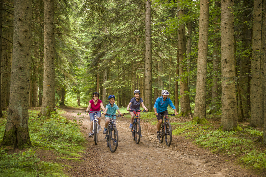
Mountain bike
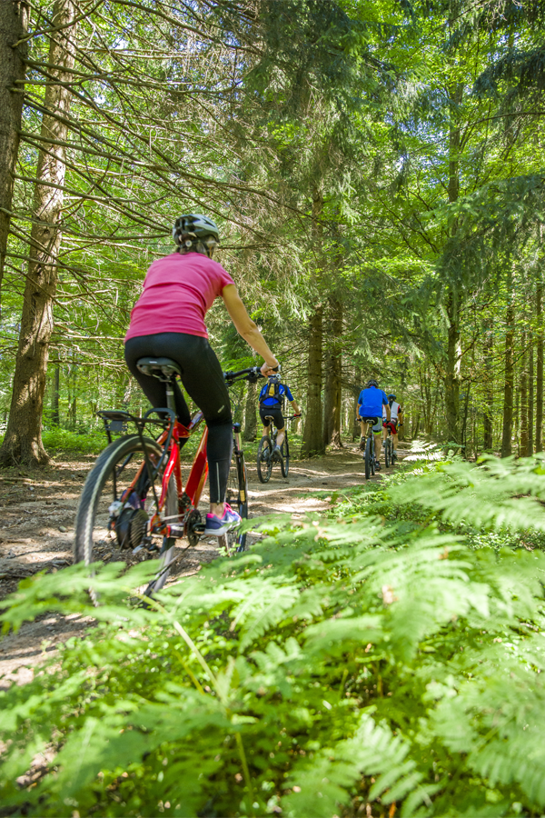
La Bruyère
Le Chambon-sur-Lignon
Distance
15.44 km
Positive elevation
342 m
Negative elevation
341 m
Max. altitude
1144 m
Site VTT-FFC
1
Trail Running
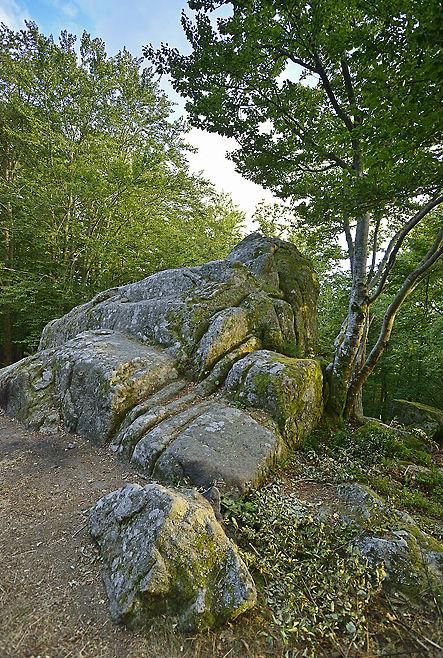
La Roche Druidique
Tence
Distance
13.45 km
Positive elevation
256 m
Negative elevation
257 m
Max. altitude
991 m
2
Mountain bike
Le Bois de Peybroussou
Le Chambon-sur-Lignon
Distance
8.95 km
Positive elevation
204 m
Negative elevation
208 m
Max. altitude
1047 m
Site VTT-FFC
2
Trail Running
Les Gorges du Lignon
Tence
Distance
26.28 km
Positive elevation
594 m
Negative elevation
595 m
Max. altitude
1048 m
3
Trail Running
Le Pic du Lizieux
Tence
Distance
35.12 km
Positive elevation
885 m
Negative elevation
885 m
Max. altitude
1362 m
Under surveillance
3
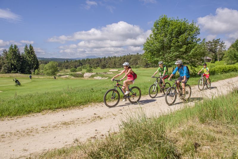
Mountain bike
Du Chambon au Golf
Le Chambon-sur-Lignon
Distance
14.89 km
Positive elevation
332 m
Negative elevation
343 m
Max. altitude
1069 m
Site VTT-FFC
4
Trail Running
L’Apprenti Traileur
Saint-Agrève
Distance
7.38 km
Positive elevation
183 m
Negative elevation
179 m
Max. altitude
1117 m
4
Mountain bike
La Petite Suchère
Le Chambon-sur-Lignon
Distance
6.65 km
Positive elevation
144 m
Negative elevation
149 m
Max. altitude
1045 m
Site VTT-FFC
5
Trail Running
La Dolce Via
Saint-Agrève
Distance
11.84 km
Positive elevation
245 m
Negative elevation
241 m
Max. altitude
1075 m
5
Mountain bike
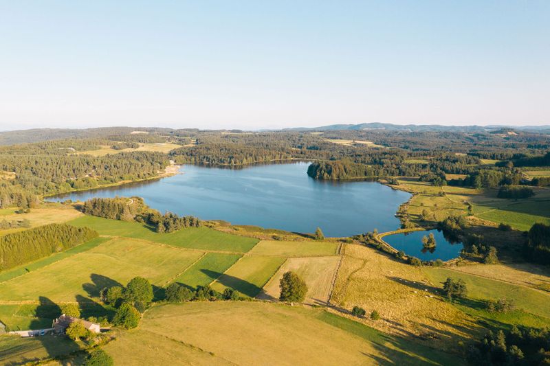
Du Lignon au Lac de Devesset
Le Chambon-sur-Lignon
Distance
39.96 km
Positive elevation
809 m
Negative elevation
800 m
Max. altitude
1169 m
Site VTT-FFC
6
Trail Running
Le Grand Tour de St Agrève
Saint-Agrève
Distance
30.28 km
Positive elevation
594 m
Negative elevation
586 m
Max. altitude
1115 m
6
Mountain bike
Bol d'air et globules rouges en altitude
Les Estables
Distance
28.29 km
Positive elevation
758 m
Negative elevation
754 m
Max. altitude
1570 m
Site VTT-FFC