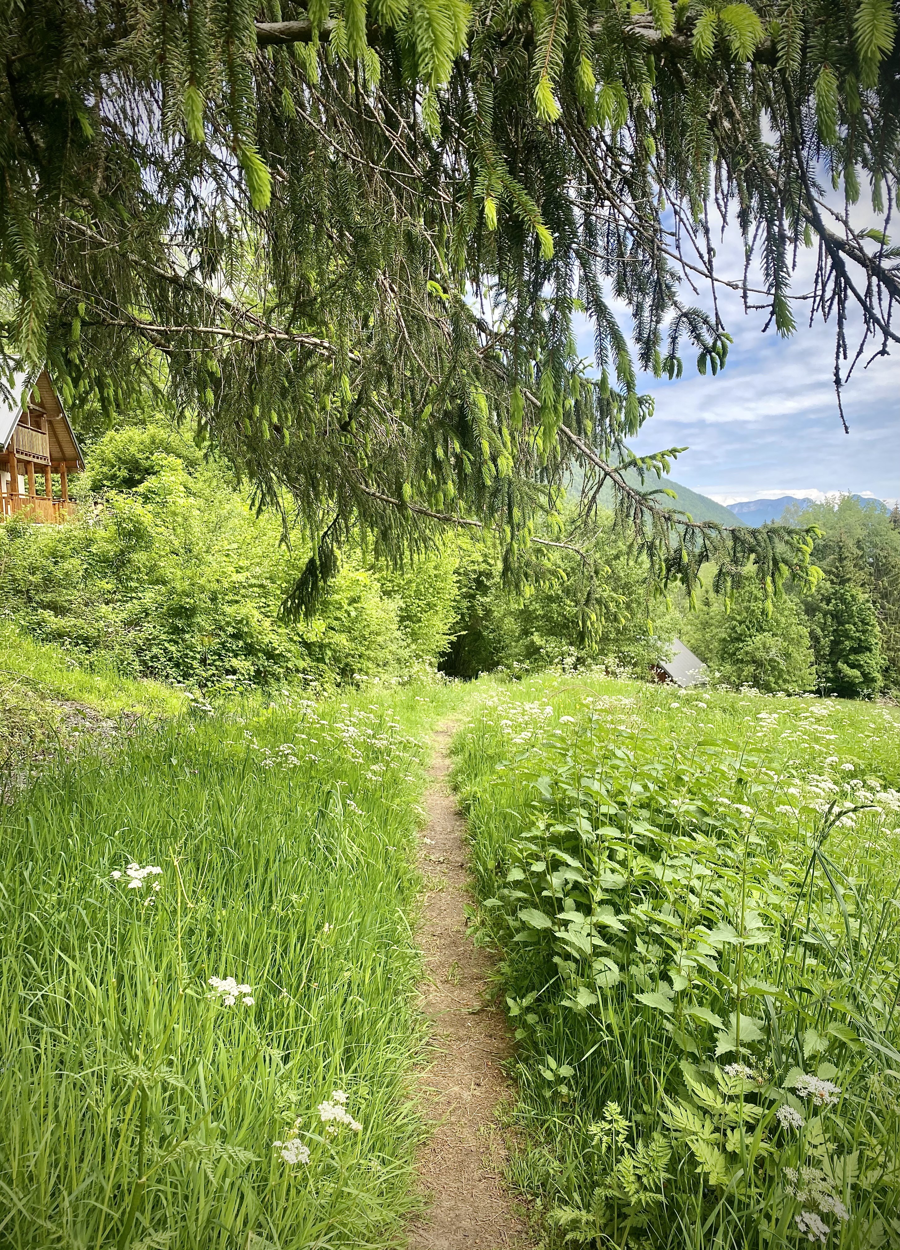
Sources du lac d’Annecy
Log in
Create an account
routes & spots
events
providers
Difficulty
Not secured
Easy
Medium
Hard
Very hard
Positive elevation
0 m
5000 m
Distance
0 km
150 km
It is not possible to select the difficulty at the same time as distance and elevation
Departure town
Chevaline
Doussard
Faverges-Seythenex
Giez
Lathuile
Saint-Ferréol
Talloires-Montmin
Val de Chaise
More filters
See only open routes
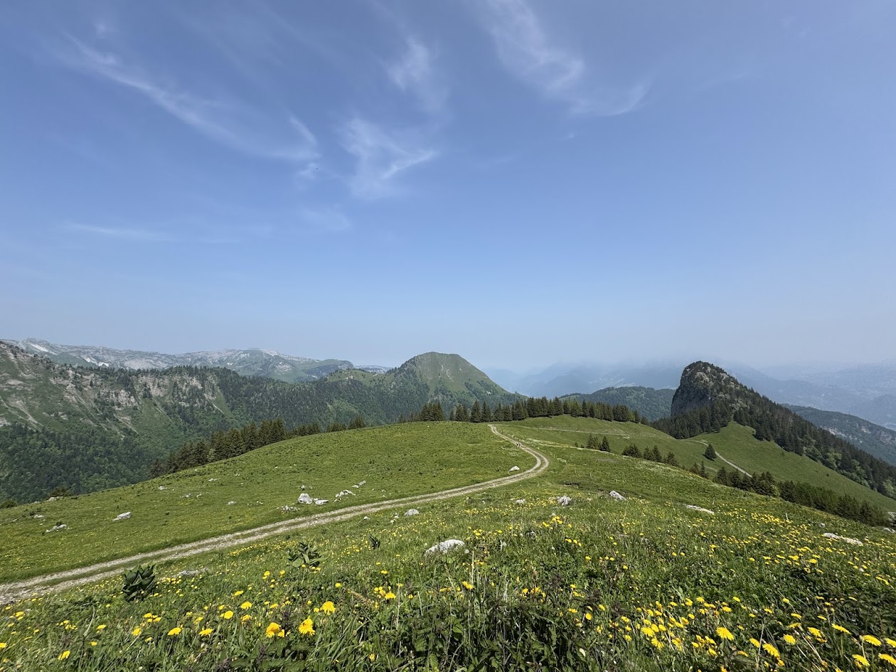
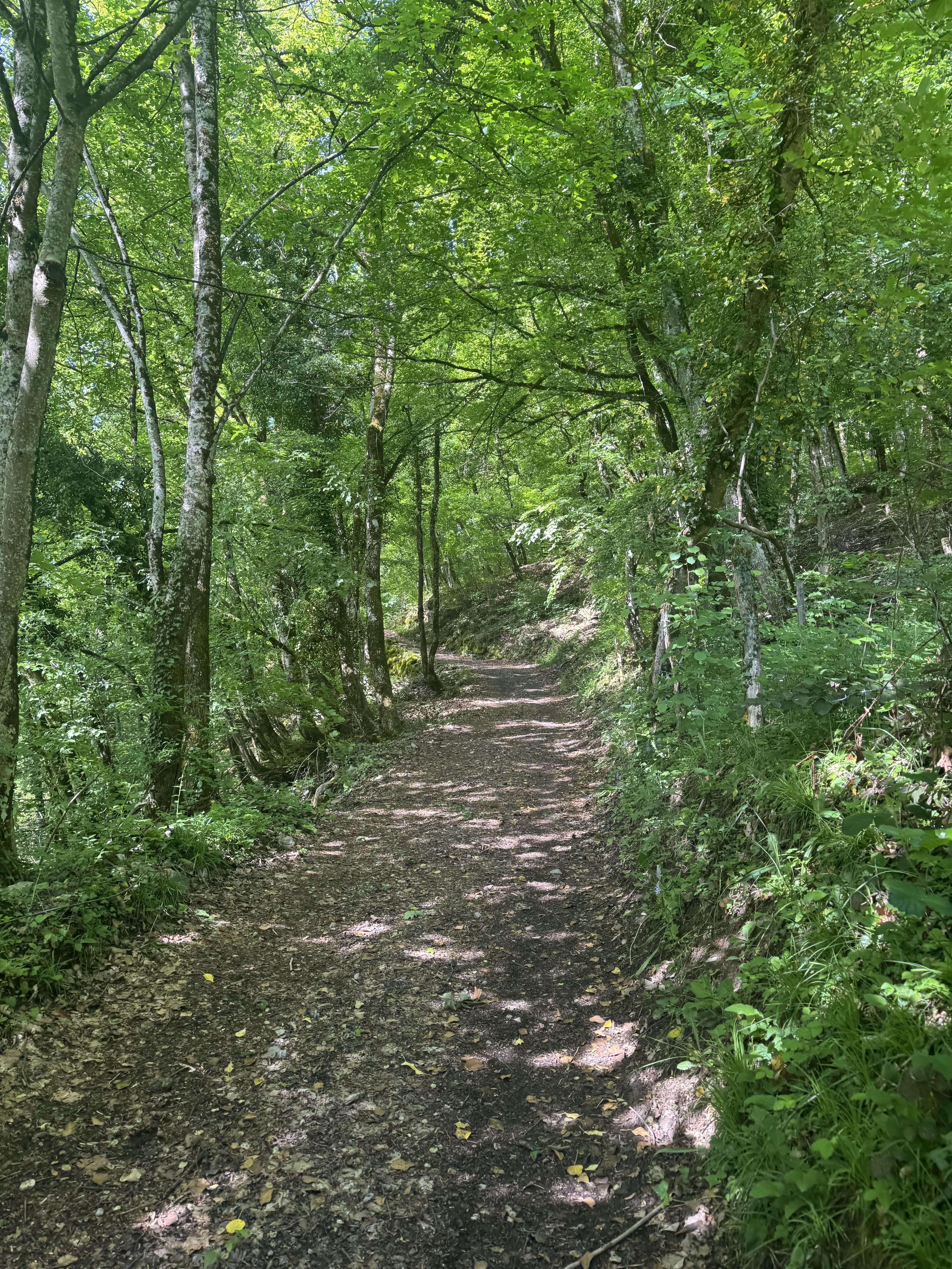
Hiking
Orgeval pass loop
Faverges-Seythenex
Distance
13.86 km
Positive elevation
1012 m
Negative elevation
1014 m
Max. altitude
1851 m
Closed
Hiking
Loop at Roc de Viuz (short loop)
Saint-Ferréol
Distance
5.83 km
Positive elevation
614 m
Negative elevation
612 m
Max. altitude
1002 m
Closed
Hiking
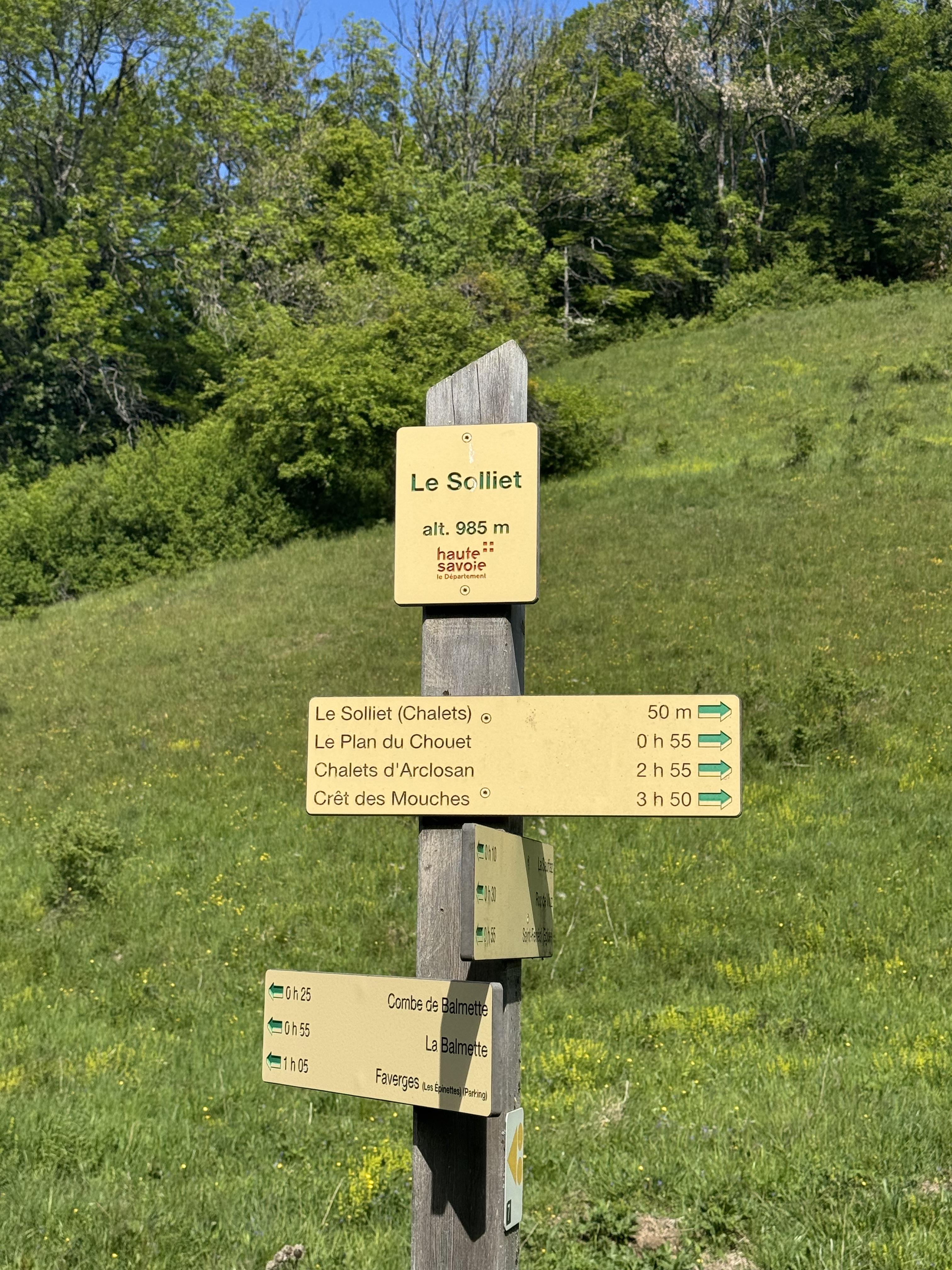
Circular walk to Roc de Viuz via Plan du Chouet (longer route)
Saint-Ferréol
Distance
8.03 km
Positive elevation
843 m
Negative elevation
838 m
Max. altitude
1234 m
Closed
Hiking
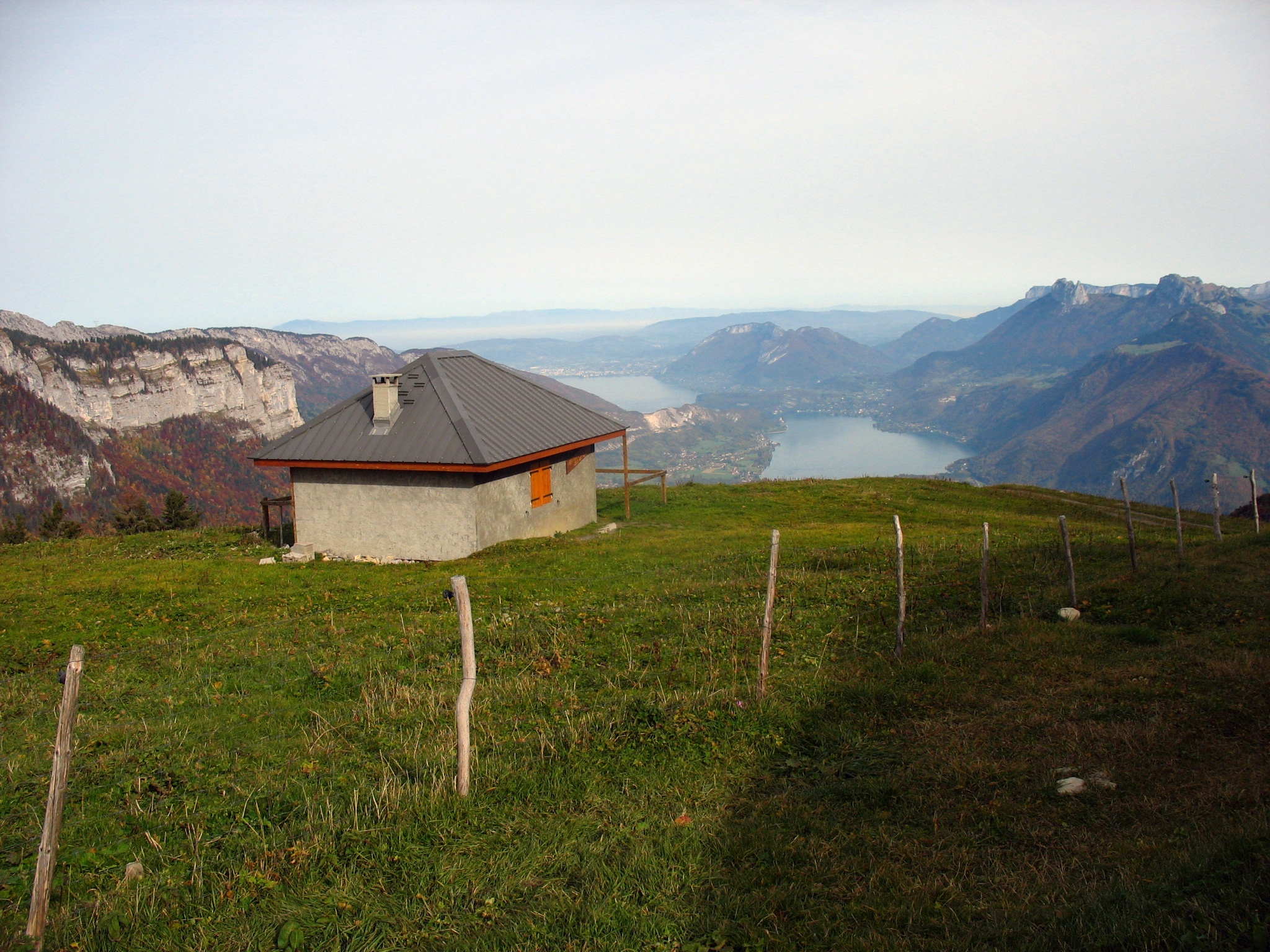
Round-trip to the Eau Froide Chalets
Doussard
Distance
10.58 km
Positive elevation
893 m
Negative elevation
891 m
Max. altitude
1620 m
Closed
Hiking
Hike around Pointe de Banc Plat starting from the Le Martinet parking lot
Doussard
Distance
22.23 km
Positive elevation
1900 m
Negative elevation
1895 m
Max. altitude
1878 m
Closed
Hiking
Petite Sambuy loop by Pas de l'Ours
Faverges-Seythenex
Distance
12.17 km
Positive elevation
1075 m
Negative elevation
1076 m
Max. altitude
2062 m
Closed
Hiking
Round trip to the Combe Refuge from Montgellaz
Lathuile
Distance
13.01 km
Positive elevation
920 m
Negative elevation
920 m
Max. altitude
1561 m
Closed
1
Nordic walking
Les Balcons du Lac – Nordic Walking Route No. 1
Lathuile
Distance
5.91 km
Positive elevation
209 m
Negative elevation
209 m
Max. altitude
635 m
1
Mountain bike
Mountain bike itinerary: La Favergie
Doussard
Distance
20.70 km
Positive elevation
221 m
Negative elevation
211 m
Max. altitude
539 m
Base VTT FFVélo
2
Nordic walking
Les Balcons du Lac – Nordic Walking Route No. 2
Saint-Ferréol
Distance
11.09 km
Positive elevation
653 m
Negative elevation
653 m
Max. altitude
1000 m
2
Mountain bike
Mountain bike route: along the sources of lake Annecy
Faverges-Seythenex
Distance
27.83 km
Positive elevation
236 m
Negative elevation
235 m
Max. altitude
527 m
Base VTT FFVélo
3
Mountain bike
Mountain bike itinerary: Le chemin du facteur
Doussard
Distance
19.03 km
Positive elevation
166 m
Negative elevation
165 m
Max. altitude
521 m
Base VTT FFVélo